Summer trip to Děčínský Sněžník
Mountain range, region / State
/ Czech Republic
Season
Summer
17. 07. 2021
Difficulty
1 / 5
Elevation
↑ 233 m
↓ 233 m
Length
7.2 km
2 hours
Altitude
max. 723 m n.m.
min. 501 m n.m.


Tips for hikes in the country Czech Republic
A circular hike to the Nebelstein lookout in the Novohradské hory Mountains
Winter trip from Pernink to Blatenský vrch
Trip to the Horní Střela Nature Park
Trip to the table mountain Děčínský Sněžník
Starting point
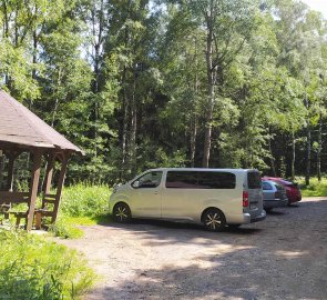
A small forest car park north of Děčínský Sněžník. It is located on the road connecting the village of Sněžník and Děčín.
Description of the hike
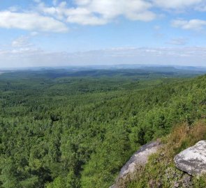
After my spring visit to Děčínský Sněžník, when the weather was not very good, it was clear to me that I would go to this amazing mountain even in good weather. Which this time was true to a tee. To make at least some change from spring, I chose the starting point on the north side. And I definitely did not regret it. I liked the trip much more than the one from the village of Sneznik.
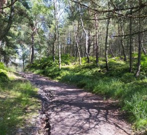
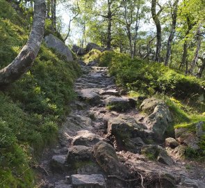
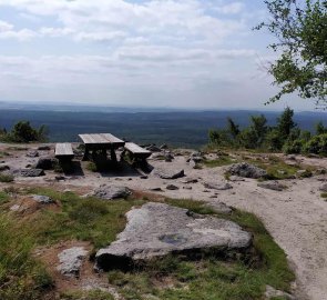
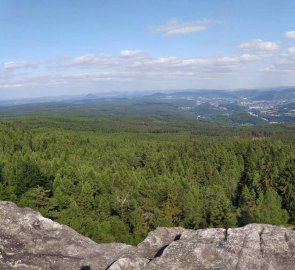
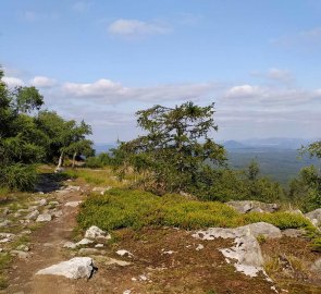
From the car park, follow the green trail through the forest. The path starts to climb almost immediately, but the ascent is not very steep. The path is wide and soon I reached the signpost Under the Horse's Head. Here I joined the red trail. This leads along a narrower path and after a while starts to climb more steeply. The first rock blocks also started to appear. The climb was steepest at these points. Eventually the trail flattened out again and continued almost without climbing. After a while I turned off the sign and continued along the wide forest path towards the Dresden viewpoint. Just before it, I joined the asphalt road that encircles the entire plateau. So I reached the viewpoint and enjoyed great views, especially towards Germany. Especially the table mountains just over our border are amazing.
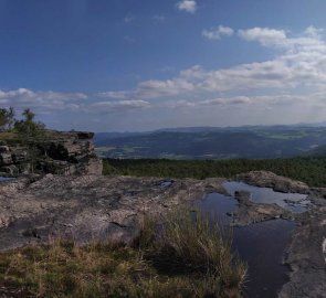
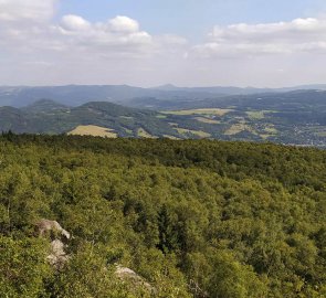
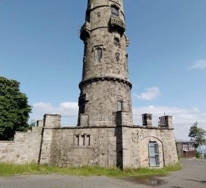
I continued along the western rocks of Děčínský Sněžník. Here are again great views of the Czech Central Highlands and Milešovka. I joined the red road again and along the edge of the rocks I reached the lookout tower and restaurant. I continued along the red trail and enjoyed the views. Eventually, I joined the trail, which I climbed to a plateau and returned to the parking lot.
Difficulty
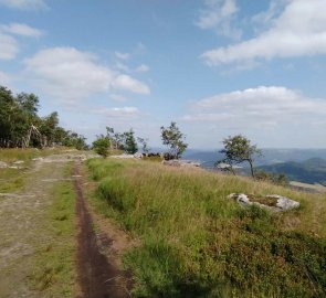
A simple hike, mostly on marked trails. In places the ascent to the plateau of Děčínský Sněžník is steeper. It is also on a narrow trail. But the ascent is not long and can be done even by less trained hikers. The plateau is then reached by comfortable wide paths. The path is ideal for children or dogs, a stroller will not pass it.
Water availability
You can refill your fluids in the refreshments under the lookout tower or in the restaurant at the lookout tower. 1.5 litres of water was enough for me.
Mountain peaks
From the top of Děčínský Sněžník at 723 m above sea level, there is a great view on almost all sides. In the north, the table mountains in Germany, the west and south are the Czech Central Highlands, and in the east you can see the Lusatian Mountains.
Danger
The only danger is the edges of the rocks on the plateau. The viewpoints are not protected in any way, so you have to be careful. Especially children. The road itself is absolutely trouble-free, there is no danger here.
Food
The restaurant and refreshments are located below the lookout tower on Děčínský Sněžník.
Attractions
Děčínský Sněžník, 724 m above sea level, is our largest table mountain. The walls of the plateau consist of sandstone rocks several tens of metres high. The plateau is about 1600 x 600 metres. Almost the entire surface of the mountain is forested, especially with birch and cranesbill. It is very reminiscent of Nordic nature. Especially in the southern rocks, erosion has created pseudo-karst caves. The sandstone walls are also a popular place for climbers. Due to the large boulders, bouldering is often practised here.

