Mountain range, region / State
Rottenmann and Wölz Tauern in Alps / Austria
Season
Spring
08. 06. 2024
Difficulty
2 / 5
Elevation
↑ 889 m
↓ 889 m
Length
6.3 km
5 hours
Altitude
max. 2423 m n.m.
min. 1534 m n.m.
Tips for hikes in the mountain range Rottenmann and Wölz Tauern in Alps
Trek to the Hohenwart in the Wölzer Tauern
Trek in the Rottenmann Tauern with ascent to the Hochrettelstein
Circular tour through Grosser Bösenstein in the Low Tauras
Trek to the Schoberspitze mountain
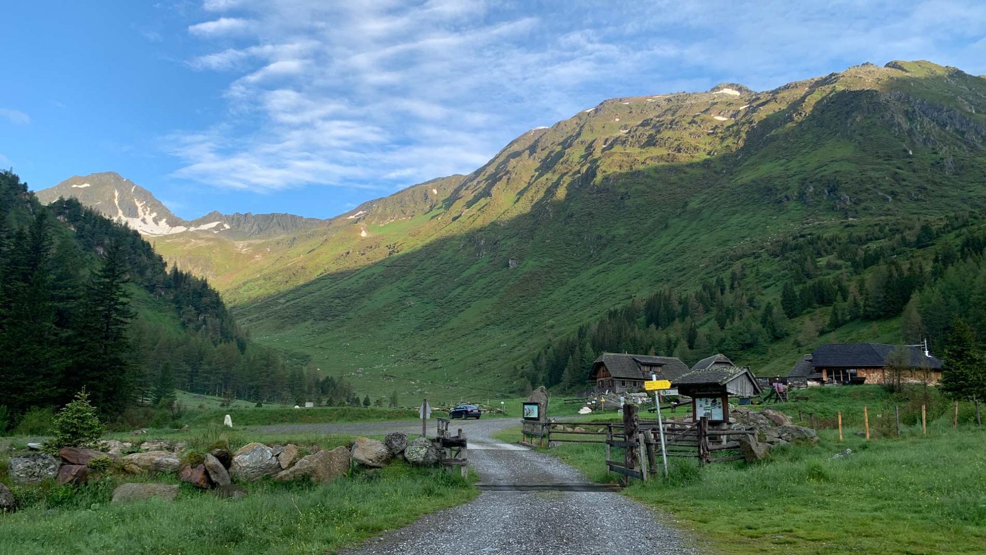
Starting point
Parking at the end of the long valley at the Hölzerhütte mountain hut. Access to the hut is free of charge.
Description of the hike
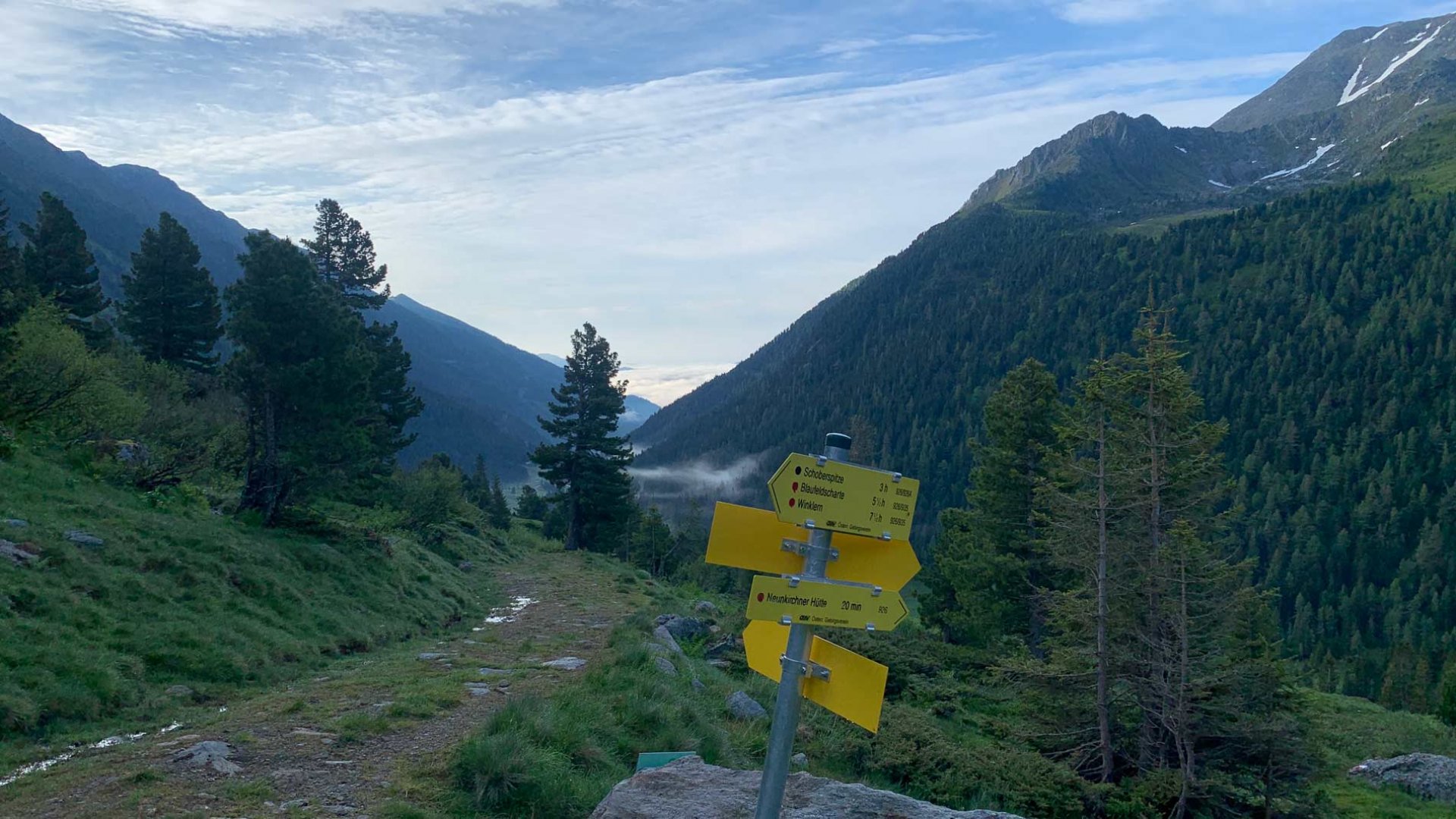
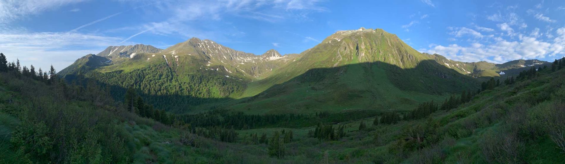
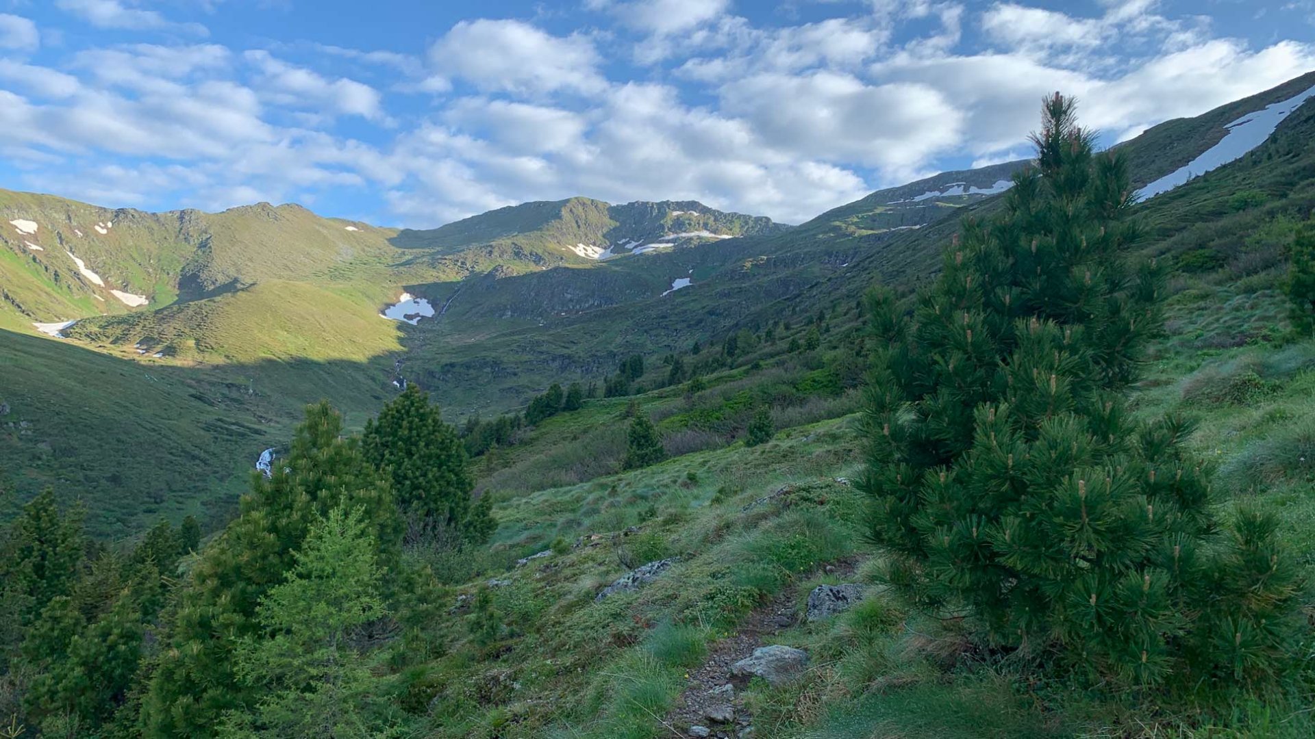
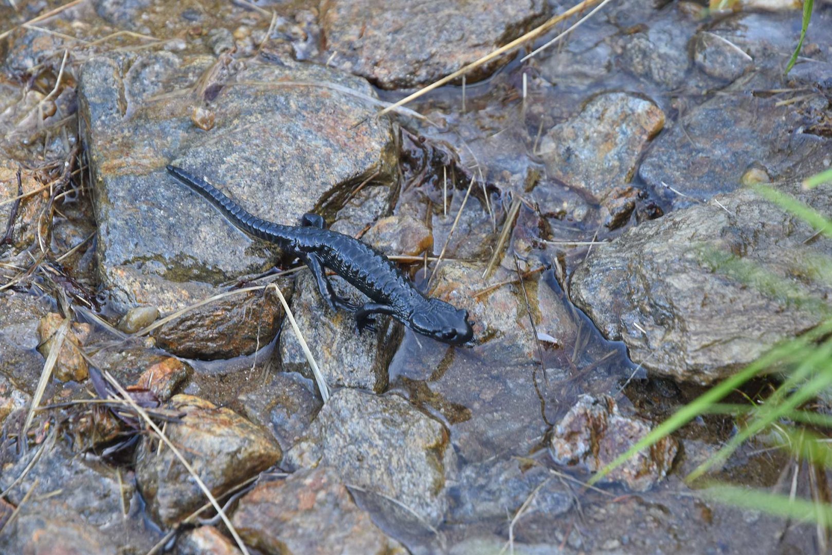
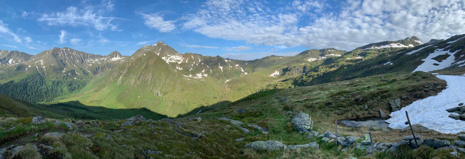
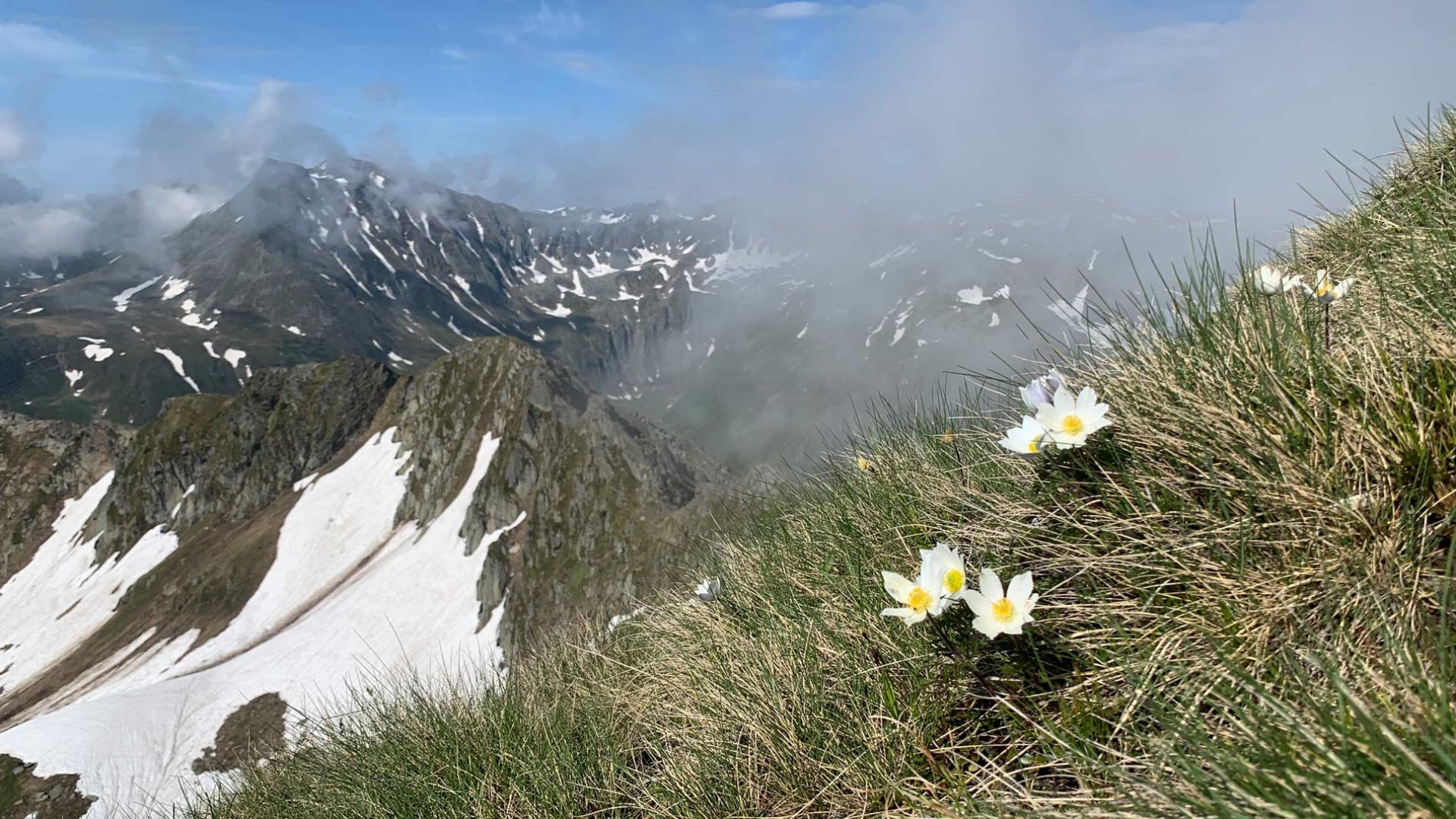
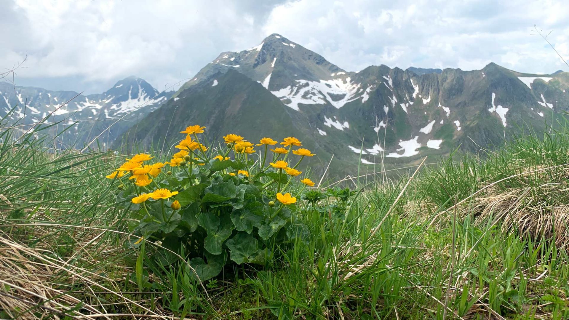
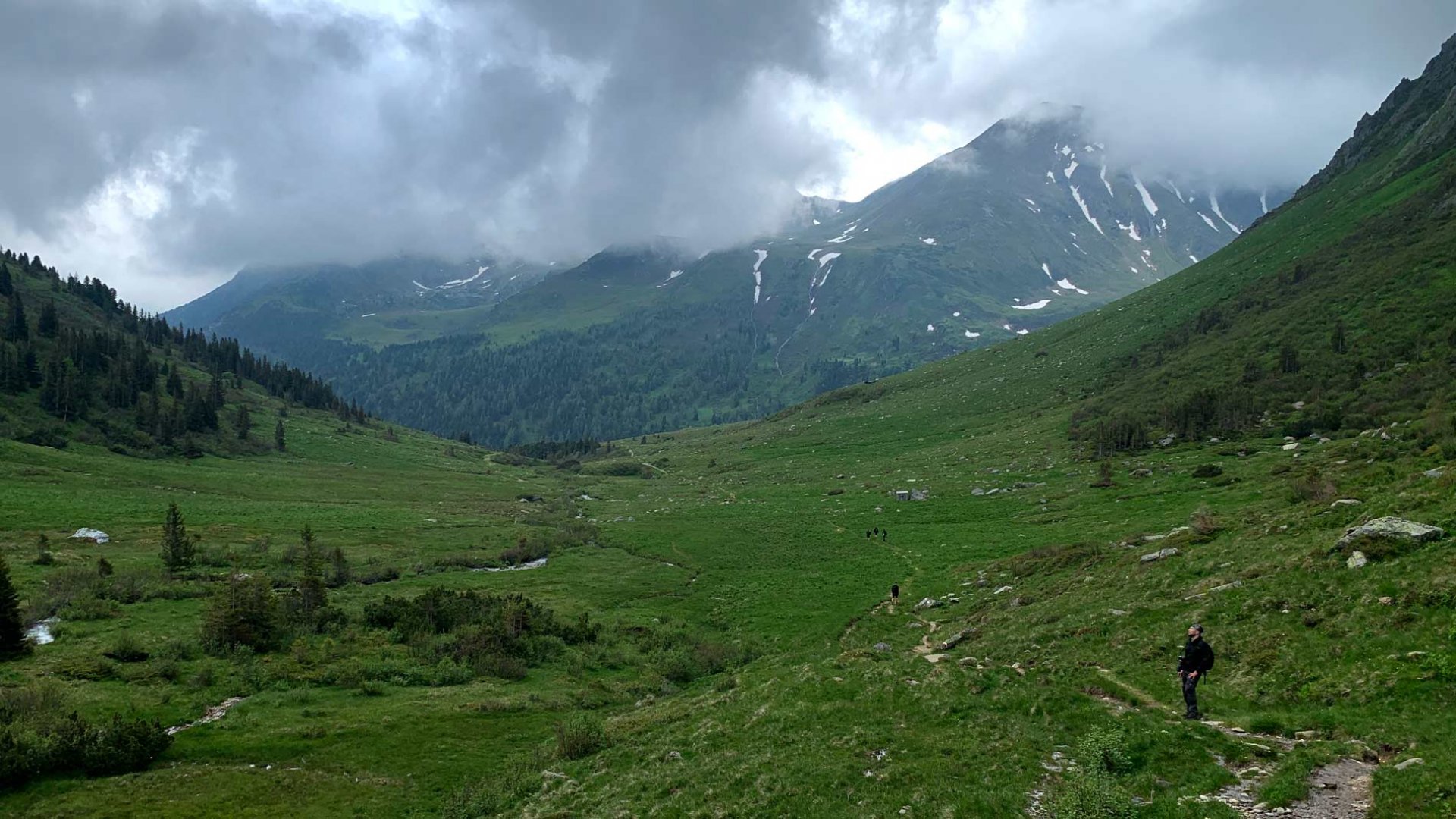
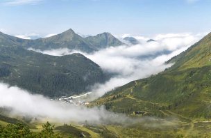
We started the hike up the Schoberspitze mountain very early in the morning. The weather forecast again called for heavy thunderstorms after lunch, so we had limited time to climb. From the Hölzerhütte hut, we took the 926 trail. The first few dozen meters climbed through the trees. Soon, however, we reached the alpine meadows and so the views of the surrounding mountains opened up. The trail climbed gently, cut into the hillside. As the climb was not too steep, there was time to enjoy the views and observe animals such as chamois and newts. The climb eventually got steeper, but we reached a small plateau with small lakes without any problems. By then we were already directly below the rock face of the Schoberspitze mountain. The weather was still great and the mountains were beginning to be bathed in the first rays of the sun.
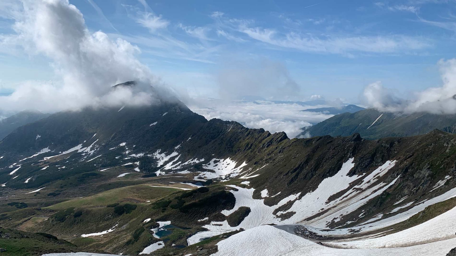
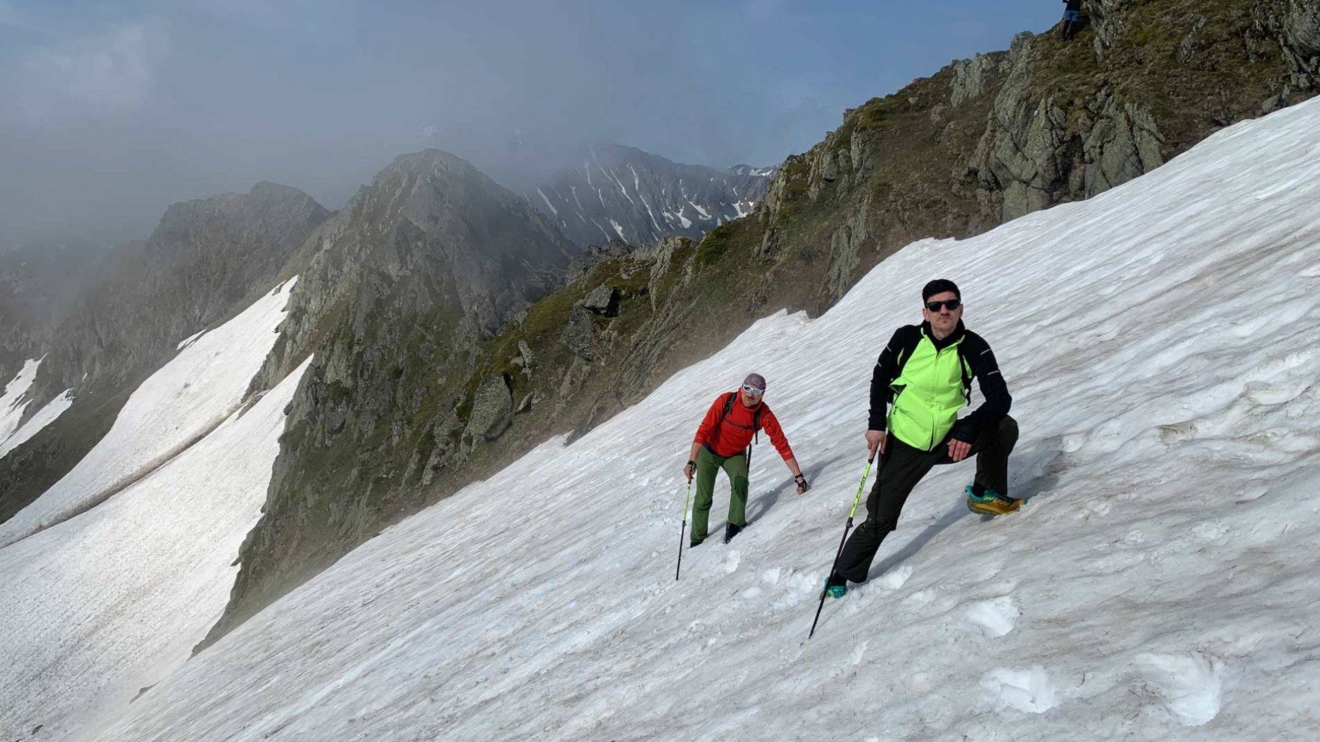
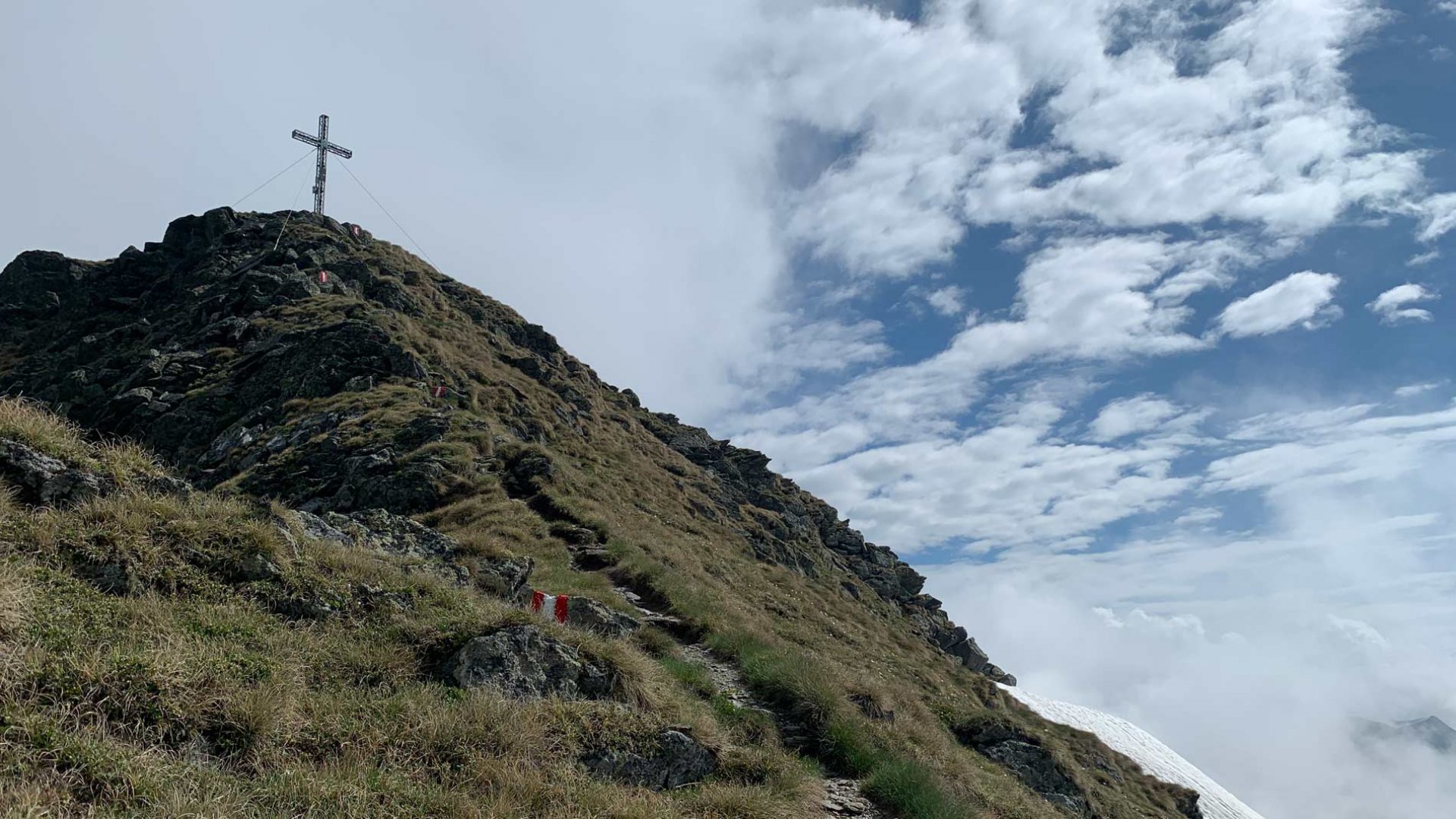
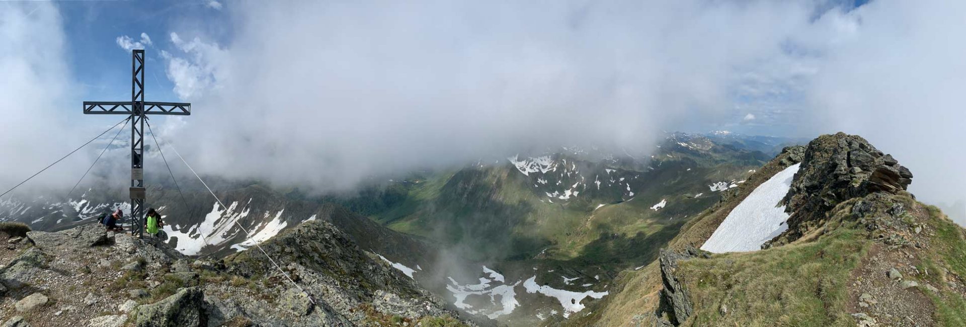
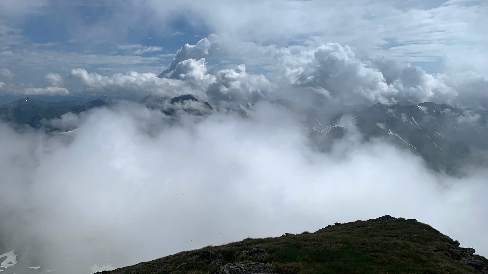
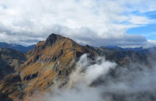
From the signpost, the trail begins to climb very steeply. In small serpentines between the rocks we reached a sharp rocky mountain ridge. For the first time we could see views to the southeast. By this time the weather was beginning to change and clouds were quickly filling the sky. The trail continued to cut into the hillside. The next part of the climb was probably the most technically challenging. The trail was still covered with snow, which was falling rapidly into the valley. It was necessary to dig steps into the softening snow. Some members of the expedition preferred to walk around this section on the rocks, which was not entirely pleasant either. After this section, a steep ascent directly to the top of the mountain began. By then we were already walking on the classic mountain path. Finally we successfully reached the top. After about a minute of staying on the top, we were surrounded by clouds and we didn't have that much of a view. Still, we rested at the top and I was slightly refreshed.
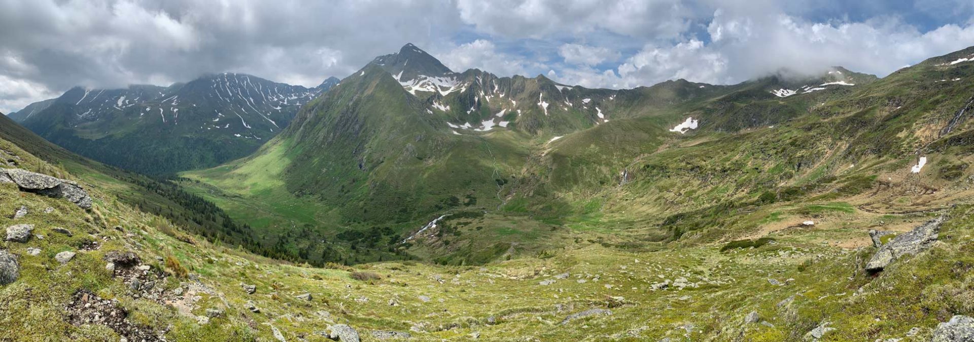
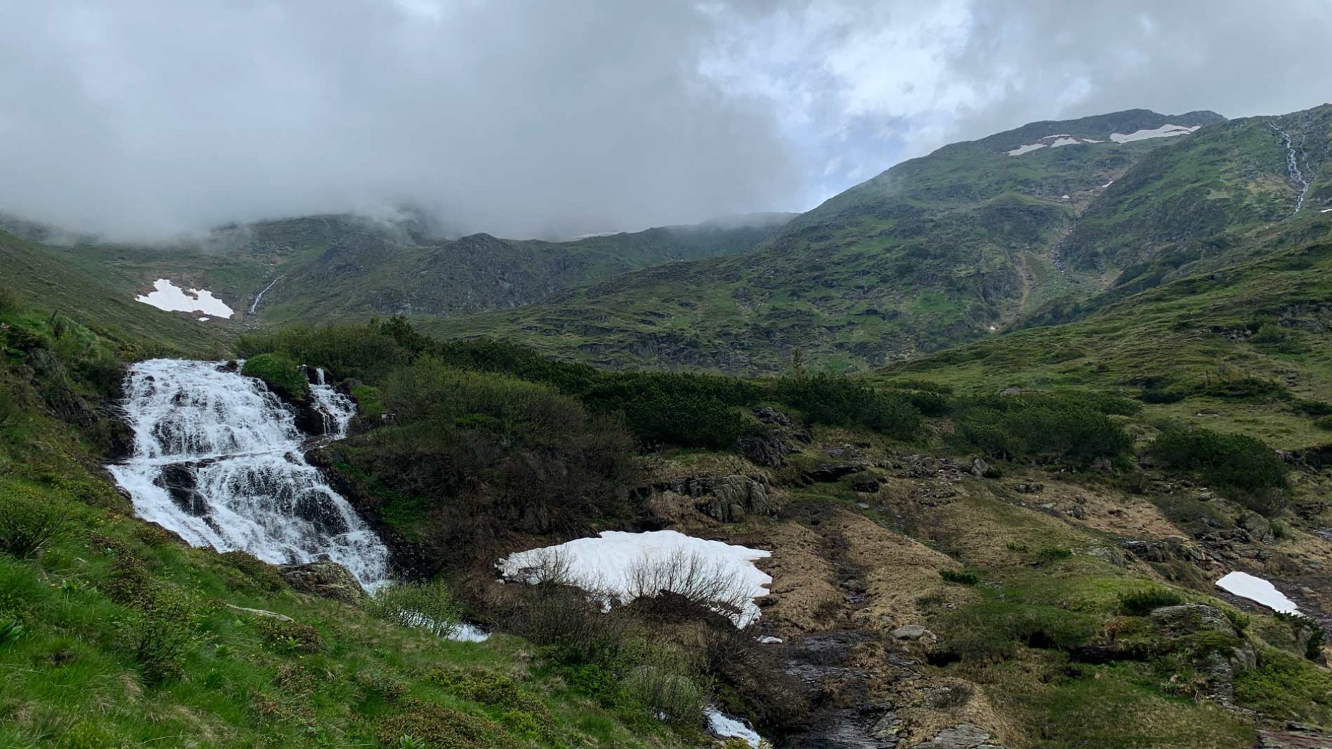
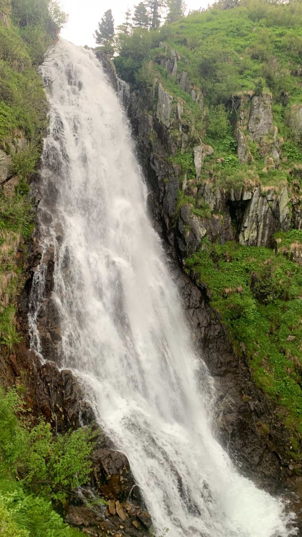
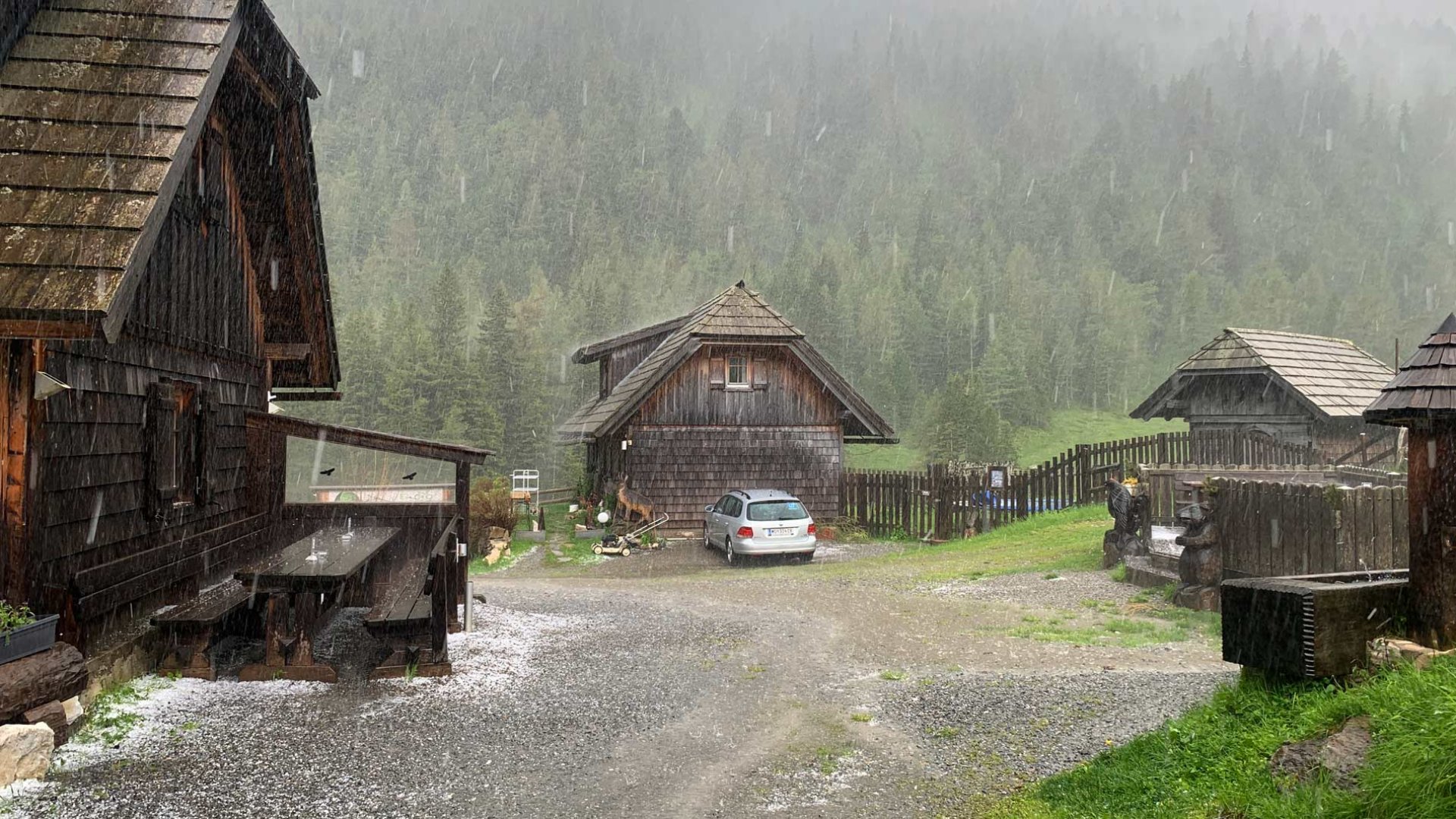
Originally we wanted to descend around the Zagelsee lake and return to the valley to the hut via the Talkenschrein mountain. Unfortunately, the weather was quickly deteriorating and we saw a lot of snow around Lake Zagelsee. So we decided to return the same way we had climbed. After crossing the hardest and steepest parts, we decided to extend our trip after all. We descended to the foot of the Talkenschrein mountain and joined the marked path below the Funklsee lake. This leads along the mountain river, which was very rough thanks to the rains of the last few weeks. Black clouds had already begun to gather around us and we continued quickly back to the hut in the valley. We still managed to enjoy the Eselsbachfall, but about 300 metres from the hut the storm caught up with us. Instead of rain, however, huge hailstones started to fall, so we reached the hut quite recharged. Still, it was an amazing trek in the wilderness.
Difficulty
In good conditions it is a classic trek in the Alps. It is on marked trails, sometimes the climb is steeper and sometimes you have to help yourself with your hands. On the descent we went off the marked paths, but it was on alpine meadows, so it wasn't a problem. The hardest part was overcoming the remnants of the snowfields. The elevation gain is around 1000 meters, so good fitness is useful.
Water availability
There are a large number of streams along the route, so it is not a problem to catch water along the way. Otherwise we had about 1,5 liters of water per person.
Sleeping options
After our night arrival we slept next to the cars in the meadow near the Hölzerhütte. Accommodation is also possible directly in the hut.
Bivouacing in the Austrian Alps
Overnight camping in the wild in Austria is subject to strict restrictions, and the rules vary from state to state. Camping in forests is generally forbidden, but sometimes arrangements can be made with meadow owners. For more information, see our article Rules for bivouacking in Austria.
Mountain peaks
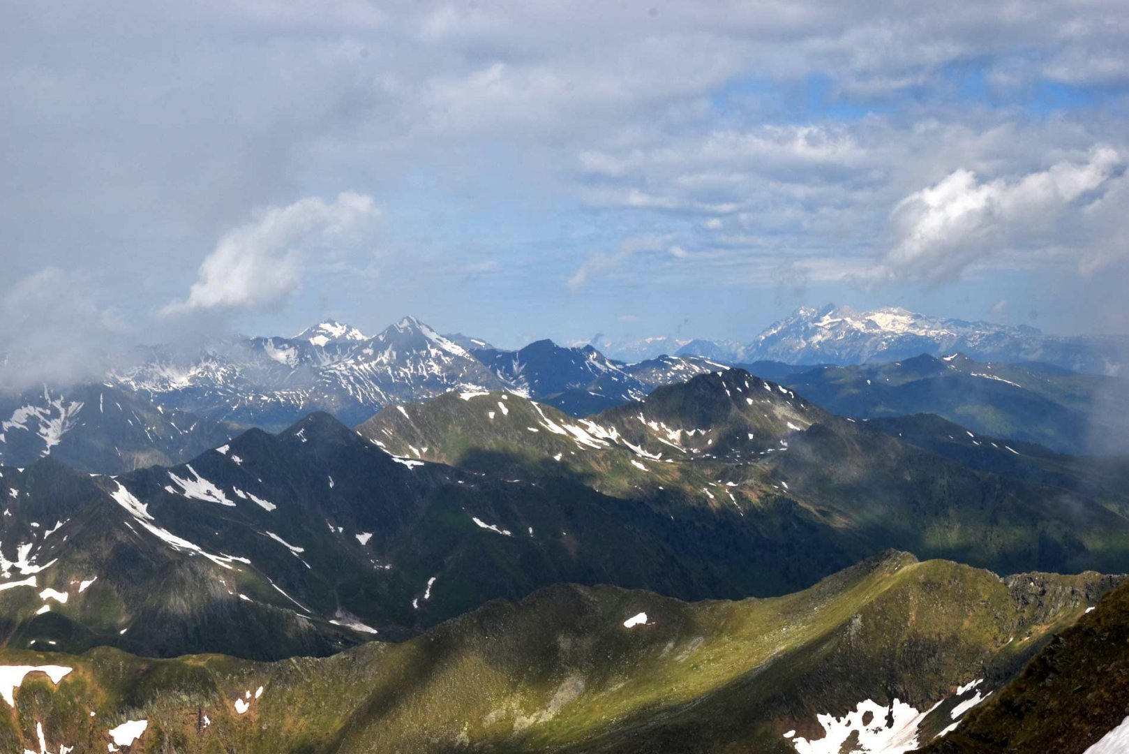
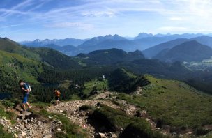
From the top of the Schoberspitze 2 423 m above sea level there is a great view of a large part of the Low Tatras, Dachstein, Totes Gebirge and more.
Danger
A large part of the trek is on a classic mountain trail. It is steeper in places and it is good to hold on with your hands. But it's not difficult at all. The most dangerous were the snowfields, which dropped very steeply into the valley. We had to overcome these fields by digging steps. Another big danger was a storm that finally caught up with us just before the end of the trek in the forested part. Lightning is life threatening on the ridge.
Food
The hike starts and ends at the Hölzerhütte hut, where you can have a meal. Otherwise, it is necessary to have your own snacks.
Photos