Mountain range, region / State
/ Austria
Season
Spring
10. 05. 2023
Difficulty
1 / 5
Elevation
↑ 881 m
↓ 881 m
Length
13.7 km
4 hours
Altitude
max. 1743 m n.m.
min. 1007 m n.m.
Tips for hikes in the mountain range
Super short trip to the super sightseeing mountain Plankogel
Trekking the Hochwechsel in the Randgebirge
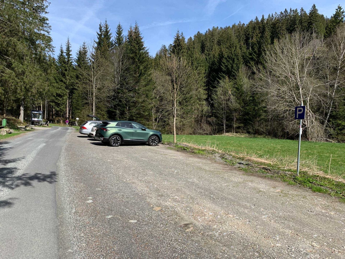
Starting point
Forest car park behind the village of Mareinsee, east of the main ridge. The car park is free of charge and the hiking trail starts at the car park.
Description of the hike
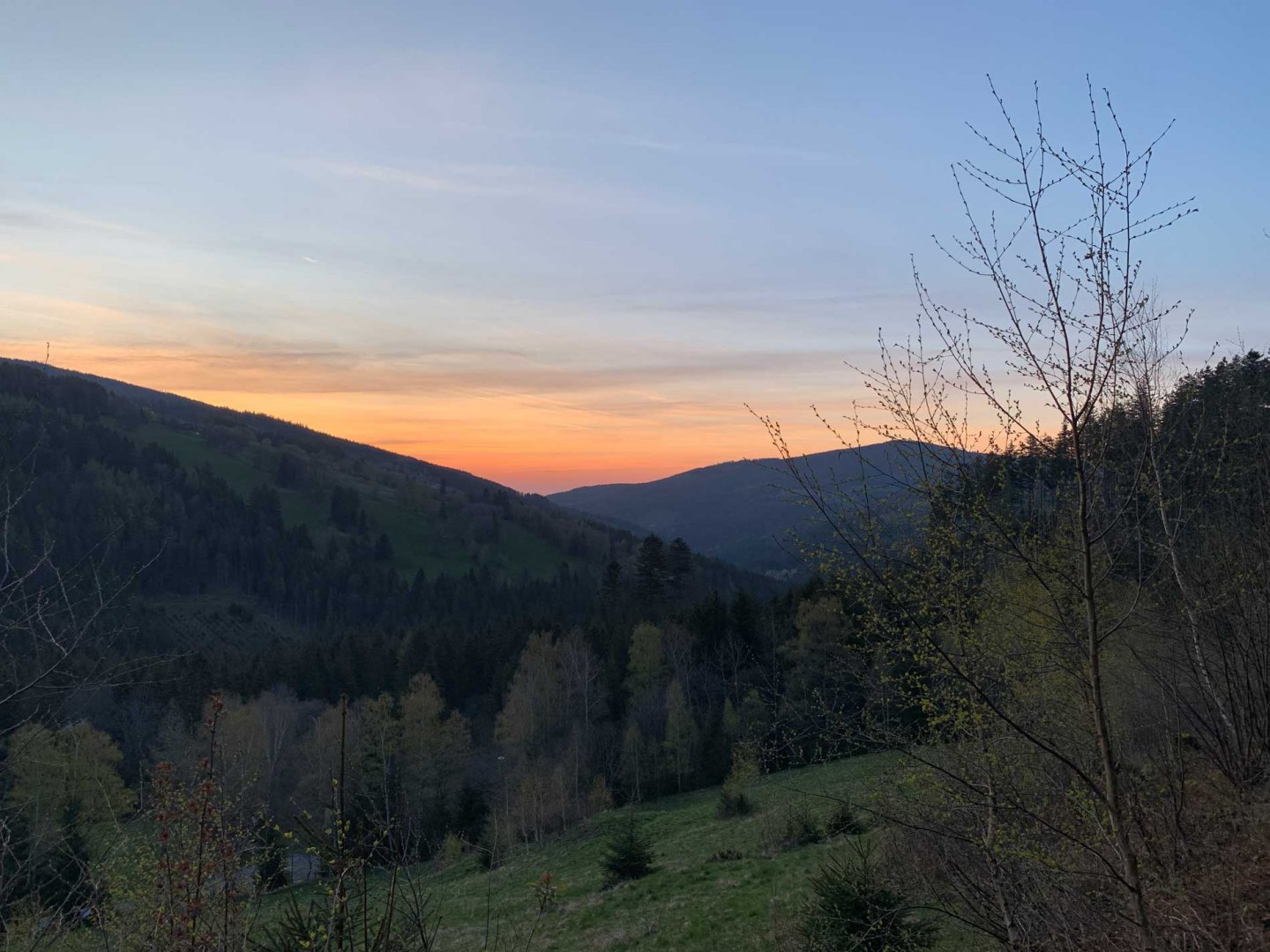
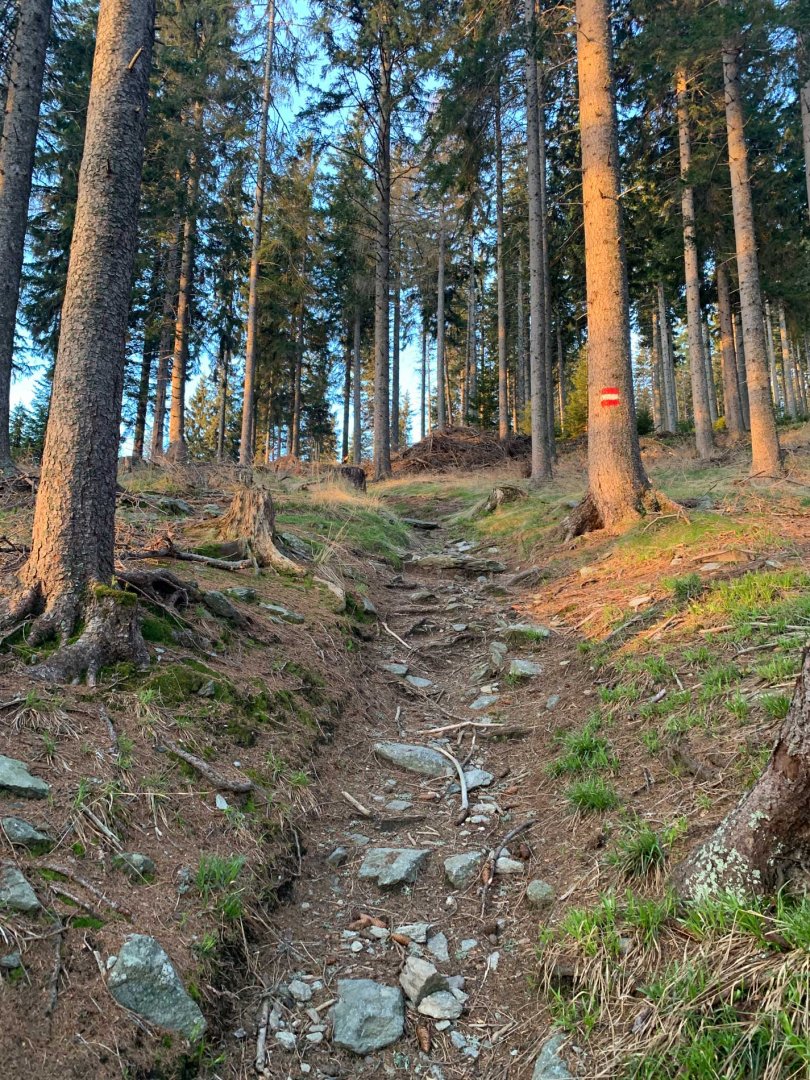
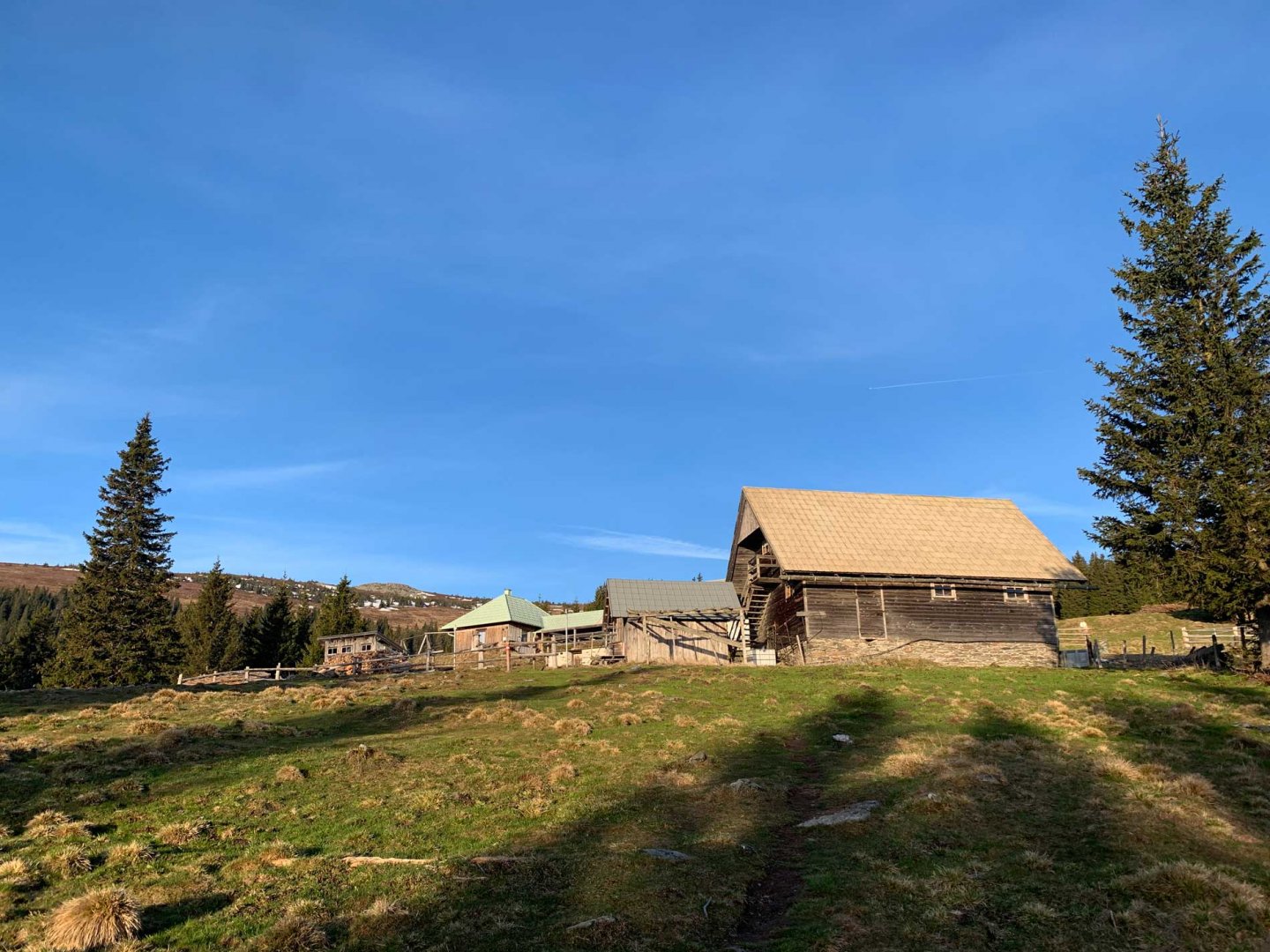
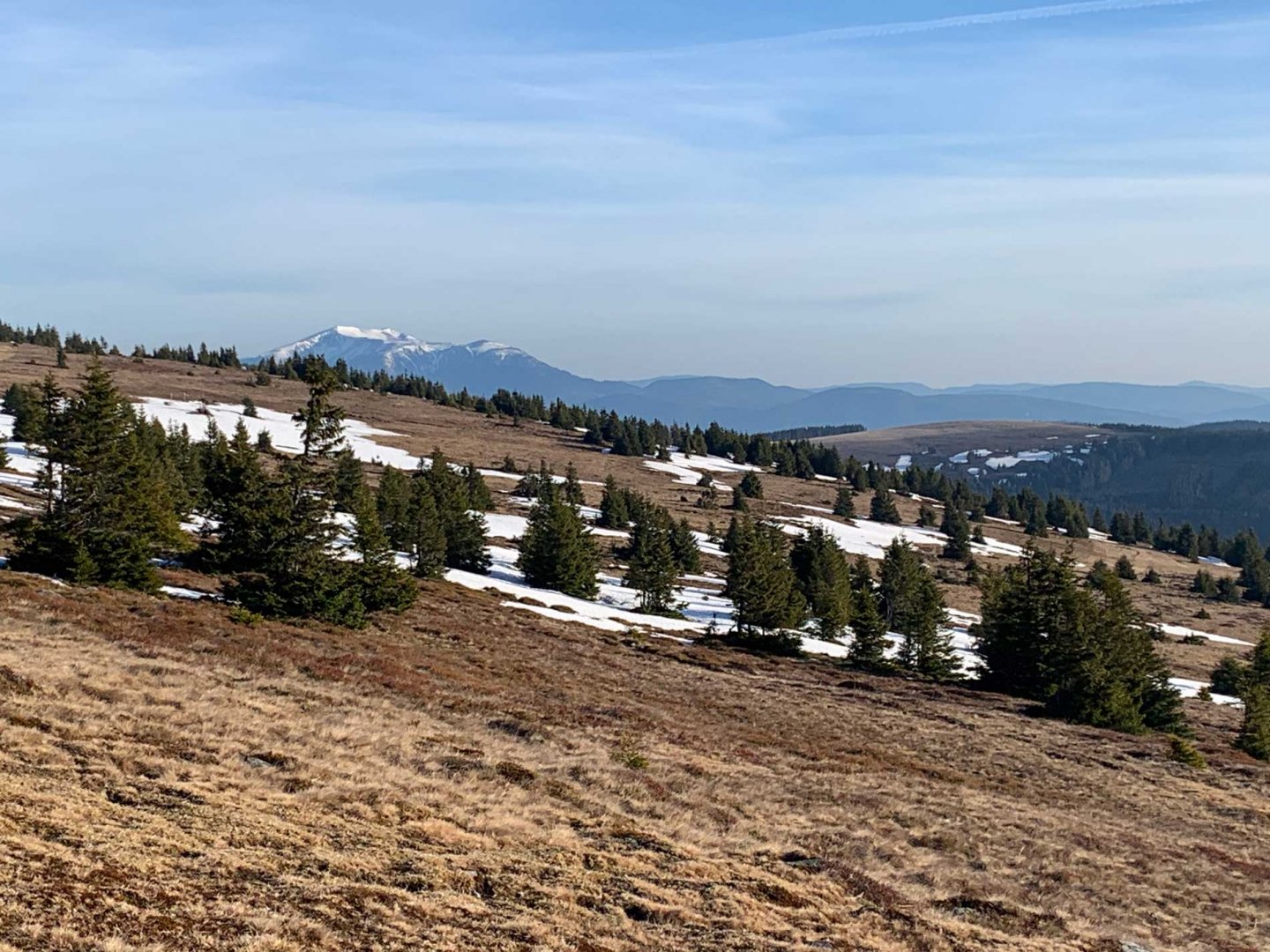
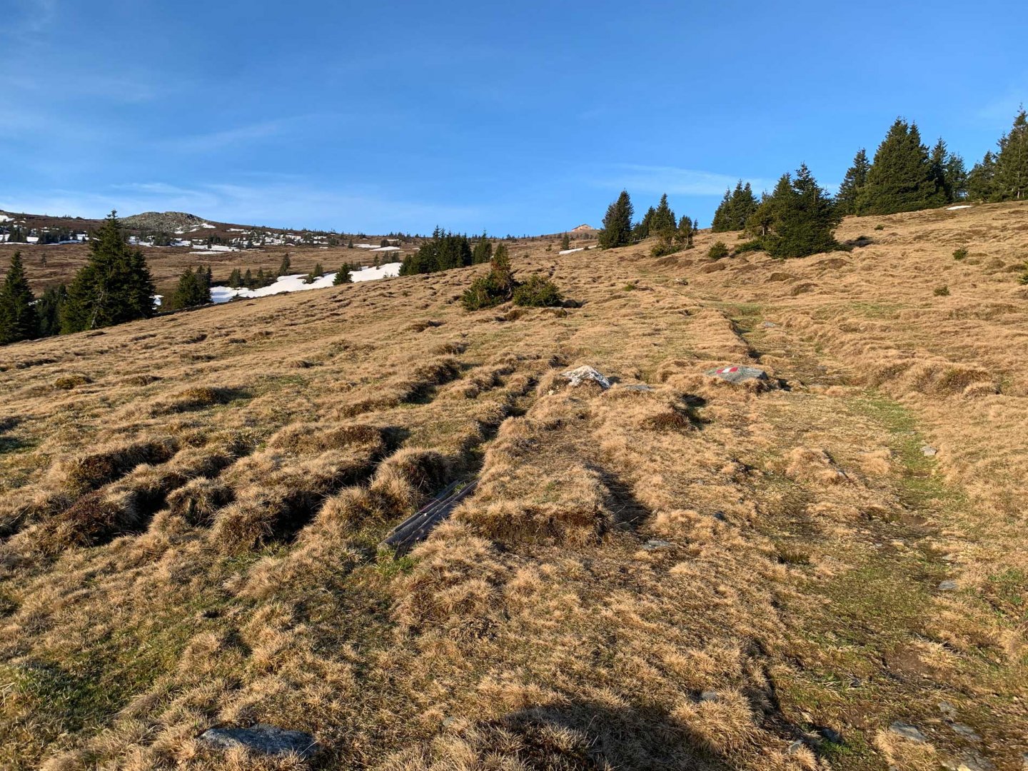
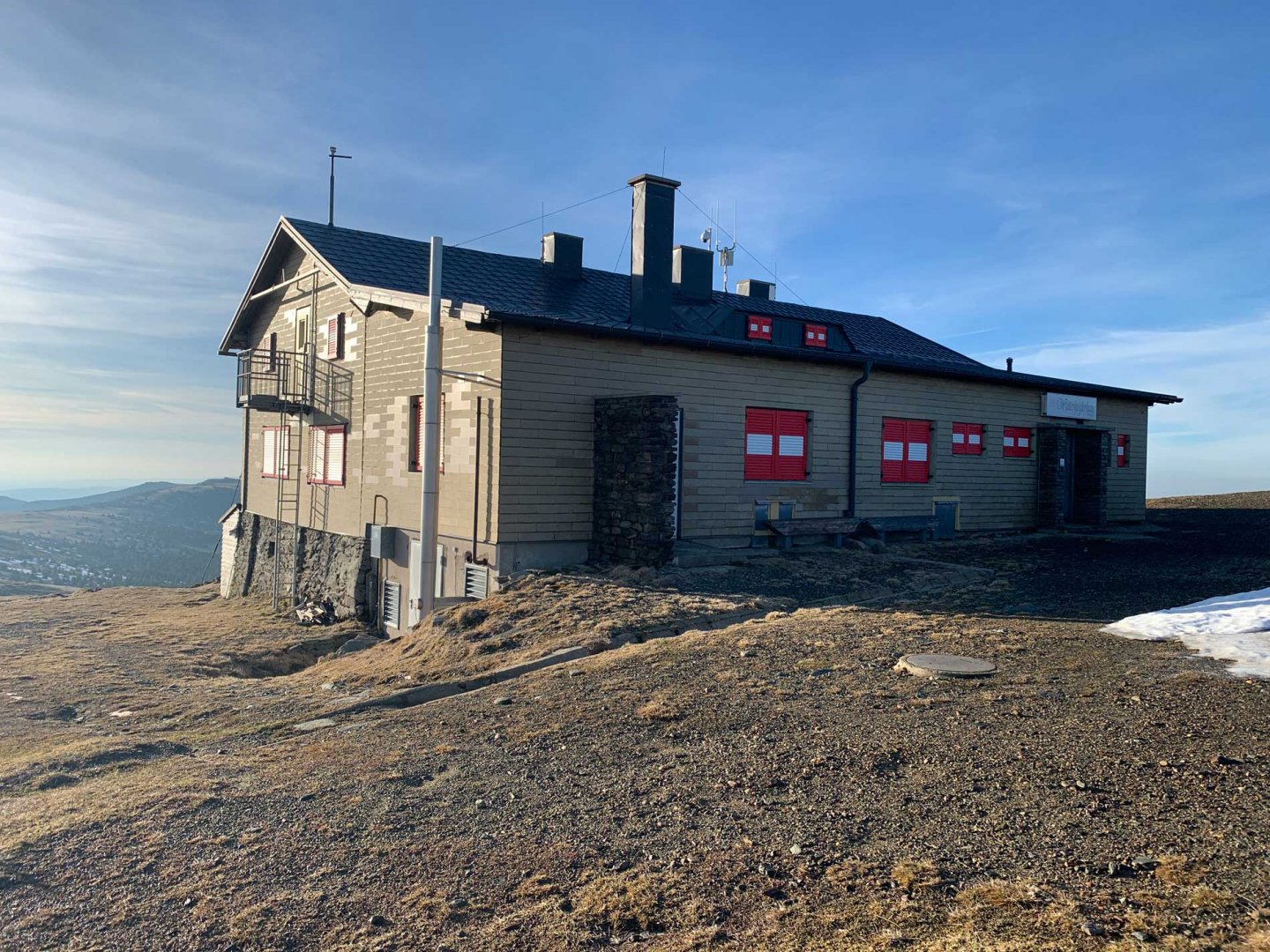
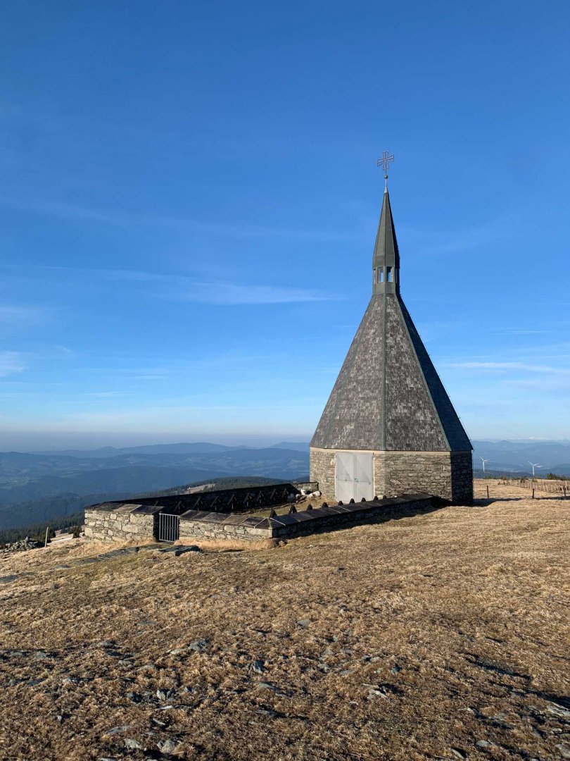
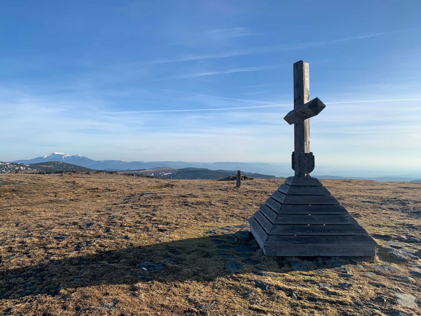
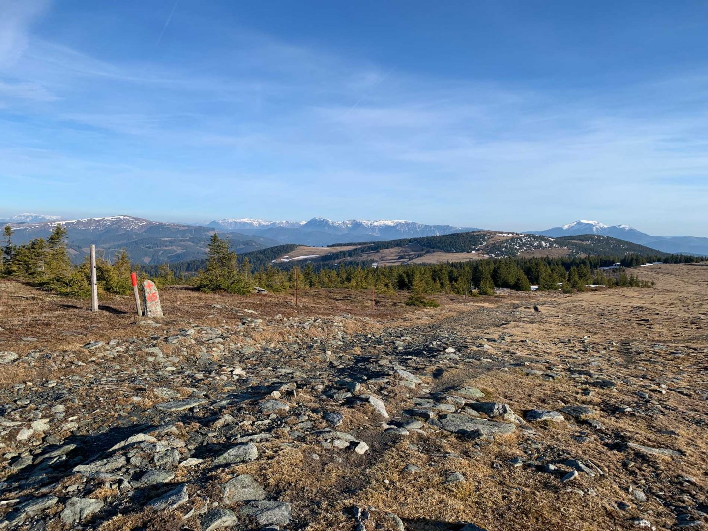
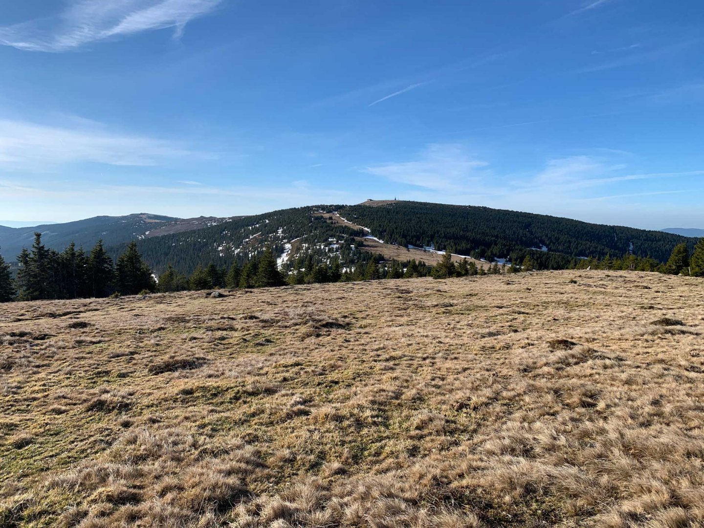
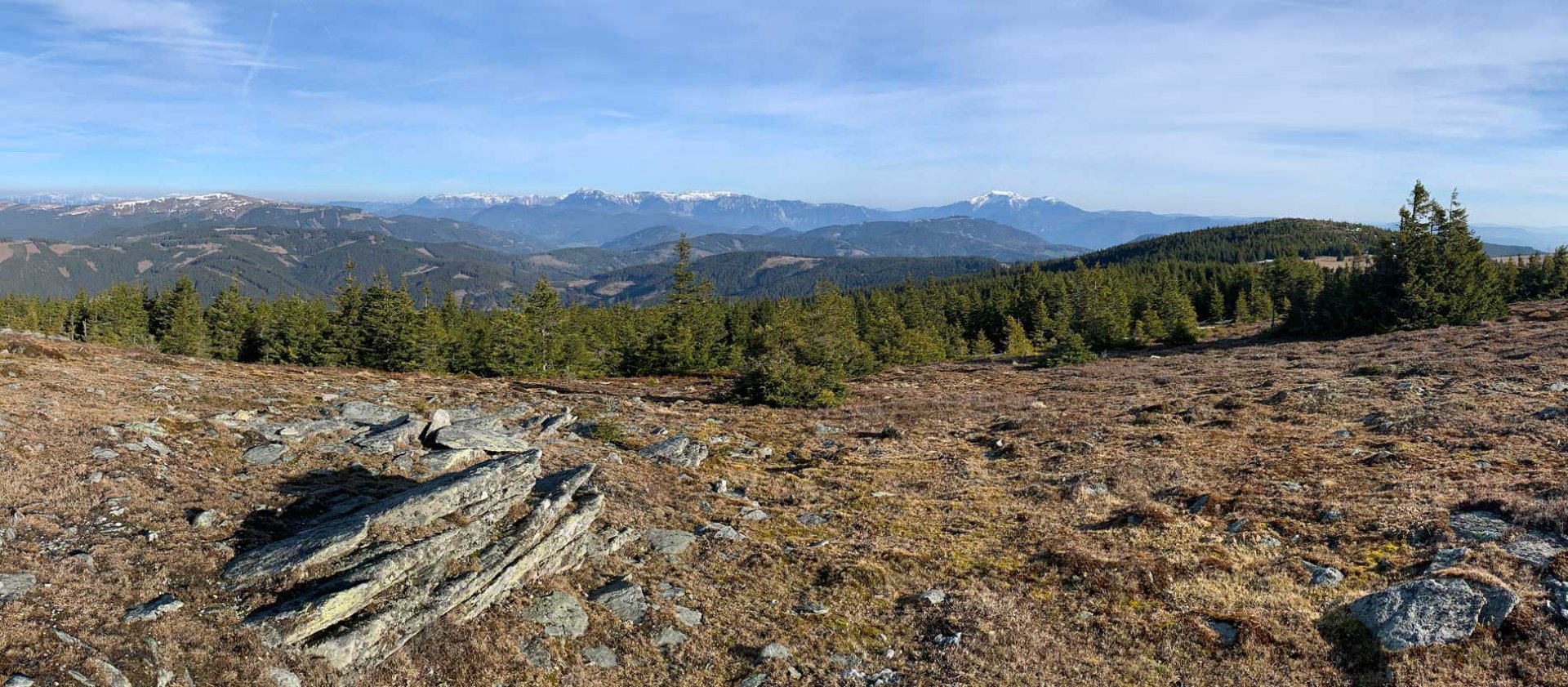
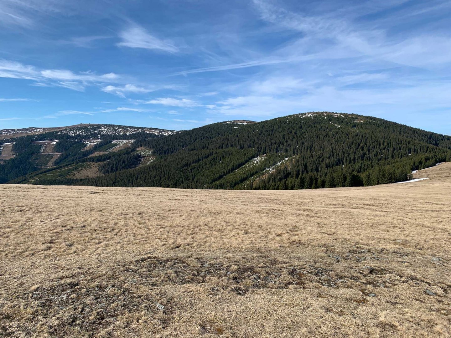
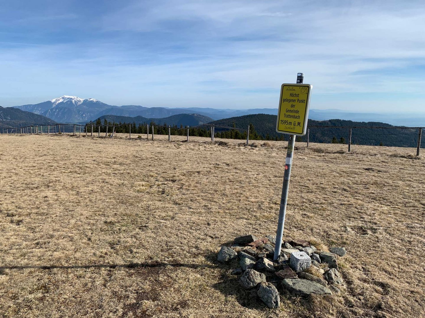
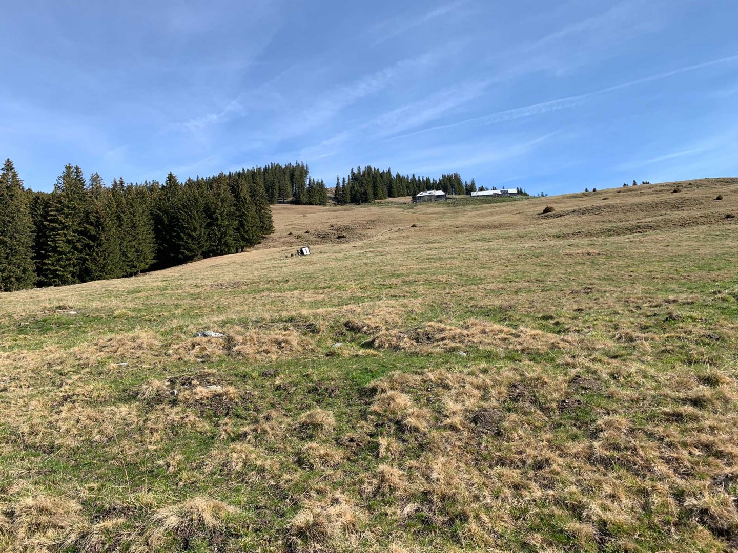
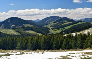
Due to the snow conditions in the Alps, I decided to go to a less visited part of the Alps this time and headed to the very east of the Alps. At the car park I joined the marked path and started the ascent to Hochwechsel. The trail led first through the forest. I crossed the wide path several times, but the direction did not change. Still going up. Soon I came out of the woods and continued along the meadows. Right at the edge of the forest there is a shepherd's hut where you can refill water. In the open ground I continued to the summit, which was already clearly visible. Gradually the views of other mountains opened up and so the ascent was more cheerful. The summit of Hochwechsel is very wide and so there is a hut, a chapel and a car park. Fortunately I didn't meet a single living thing. It's not the hiking season yet. The views are great, almost all the mountain groups of the eastern part of the Alps.
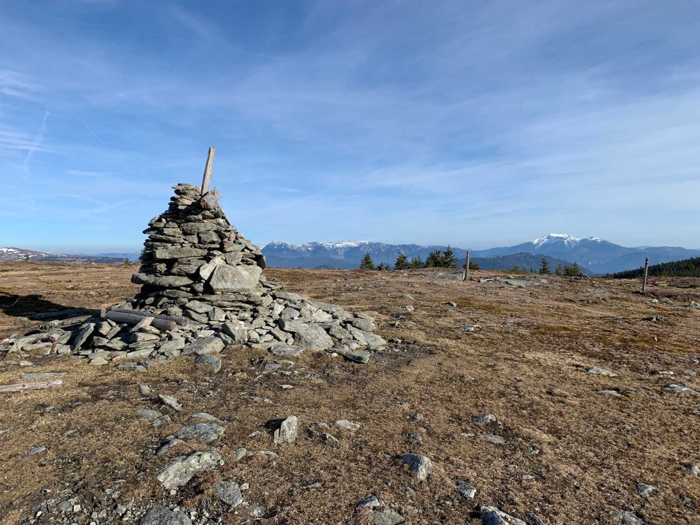
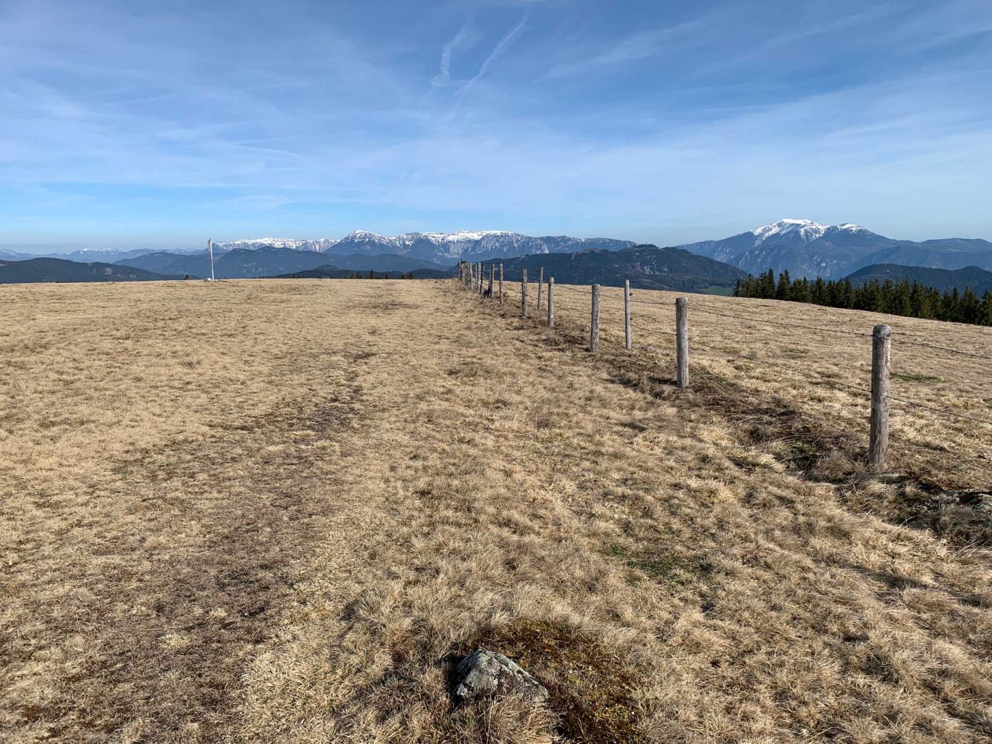
I continued along the wide ridge. First I descended slightly into the saddle and then off the marker climbed to the top of the Umschussriegel. Next I joined the sign and descended to the Dreilandereck saddle. I continued up Mount Arabichl, again on a wide meadow. From the summit I first started descending along the trail towards the Feistritzer Schwaig shepherds, but just before them I turned into a valley and started descending on loose terrain. I descended very easily to the stream by which the marked trail leads. I followed it back to the car park.
Difficulty
A very simple trip to the world of mountains. Mostly on wide mountain meadows. In the woods, on trails. I descended through open terrain, but again through a meadow and then through the forest. It wasn't steep, and I connected to the marked trail by the creek without any problems. The trail is perfect for kids or dogs.
Water availability
Water can be refilled at the Marienseer Schwaig, where it is freely available. I don't know about the Wetterkoglerhaus, the hut was still closed at the beginning of May. There are several streams on the way back where it is also possible to refill liquids, especially when the cows are not yet grazing and there is no risk of water contamination.
Sleeping options
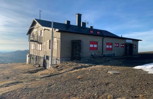
You can spend the night at the Wetterkoglerhaus, which also has a winterraum.
Mountain peaks
The route leads over the peaks Hochwechsel 1 743 m above sea level, Umschussriegel 1 720 m above sea level and Arabichl 1 592 m above sea level.
Danger
This is a very simple and safe trek. The whole time you are walking on wide mountain meadows. The descent is a bit steeper through loose terrain, but it is not difficult or dangerous.
Food
In the season there is probably a possibility of refreshment at the Wetterkoglerhaus. However, it was still closed. I had my own supplies, which were amply sufficient.
Photos