Mountain range, region / State
Ybbstal Alps / Austria
Season
Spring
23. 04. 2022
Difficulty
2 / 5
Elevation
↑ 874 m
↓ 874 m
Length
16.7 km
5 hours
Altitude
max. 1322 m n.m.
min. 899 m n.m.
Tips for hikes in the mountain range Ybbstal Alps
Spring crossing of the three Zellerhüte in the Ybbstal Alps
Climbing the Gippel peak in the Ybbstal Alps
Easy hike to the top of Hochkar
Trekking through the Hennesteck and Hochstadelberg mountains near the village of Annaberg
Starting point
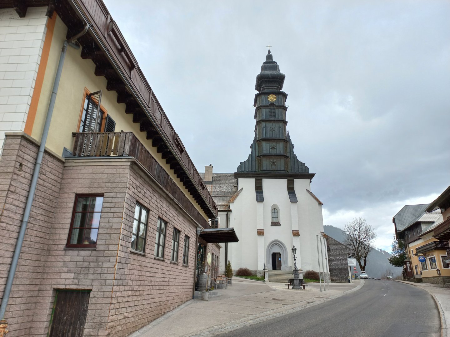
The village of Annaberg, through which the road to Mariazell passes. I found the car in the parking lot of the church.
Description of the hike
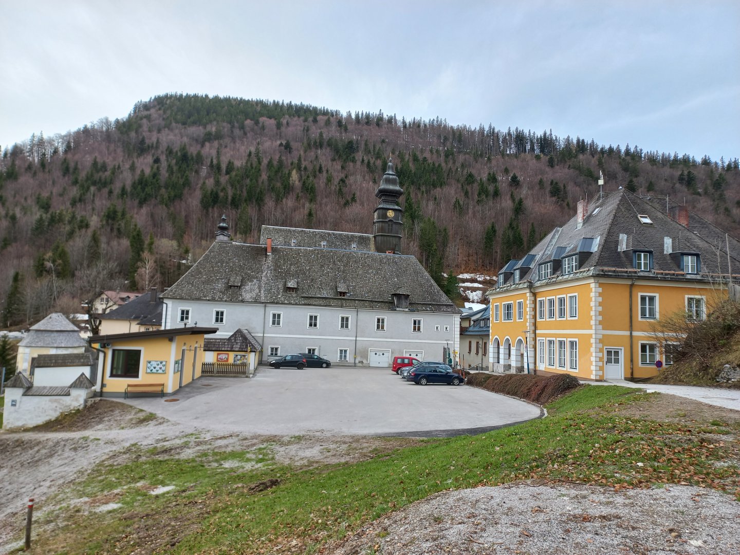
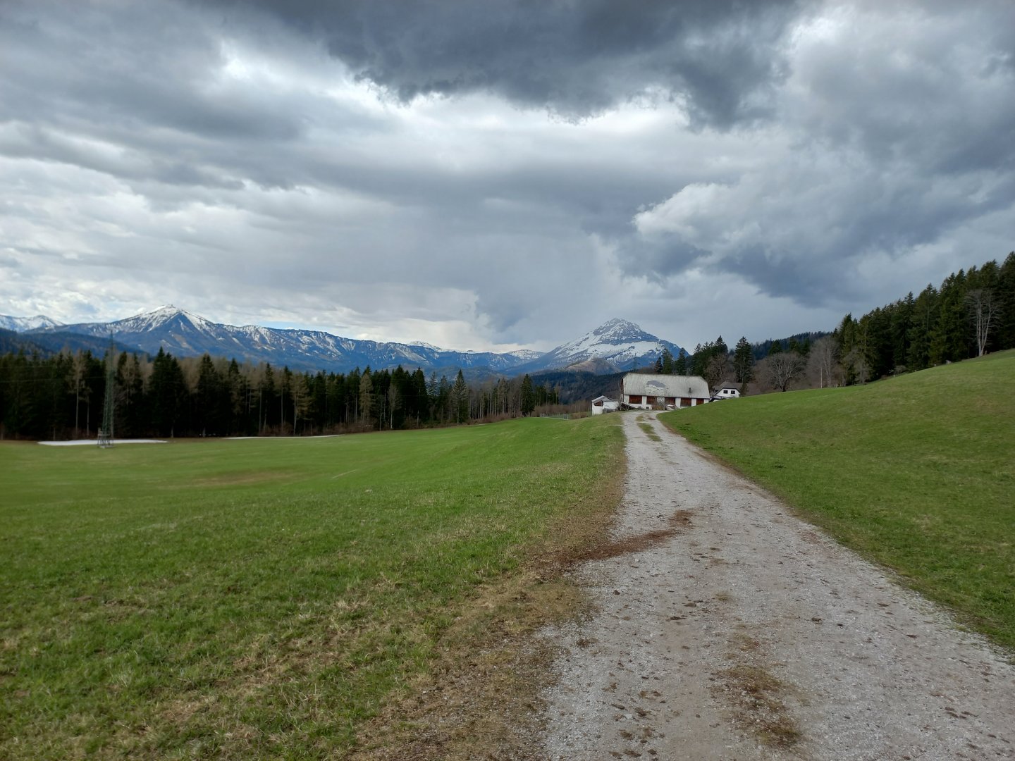
Annaberg is a small village with a large church on one of the pilgrimage routes to Mariazell. It lies right in the saddle on the B20 road between Lilienfeld and Mariazell. The pilgrims had to cross a large hill on each side on their way through Annaberg, which is nowadays enjoyed by motorists and motorcyclists in serpentines. There is also a small ski resort in Annaberg. You can leave your car directly in the saddle in the car park behind the church, or a little further down in one of the large car parks at the lower lift station
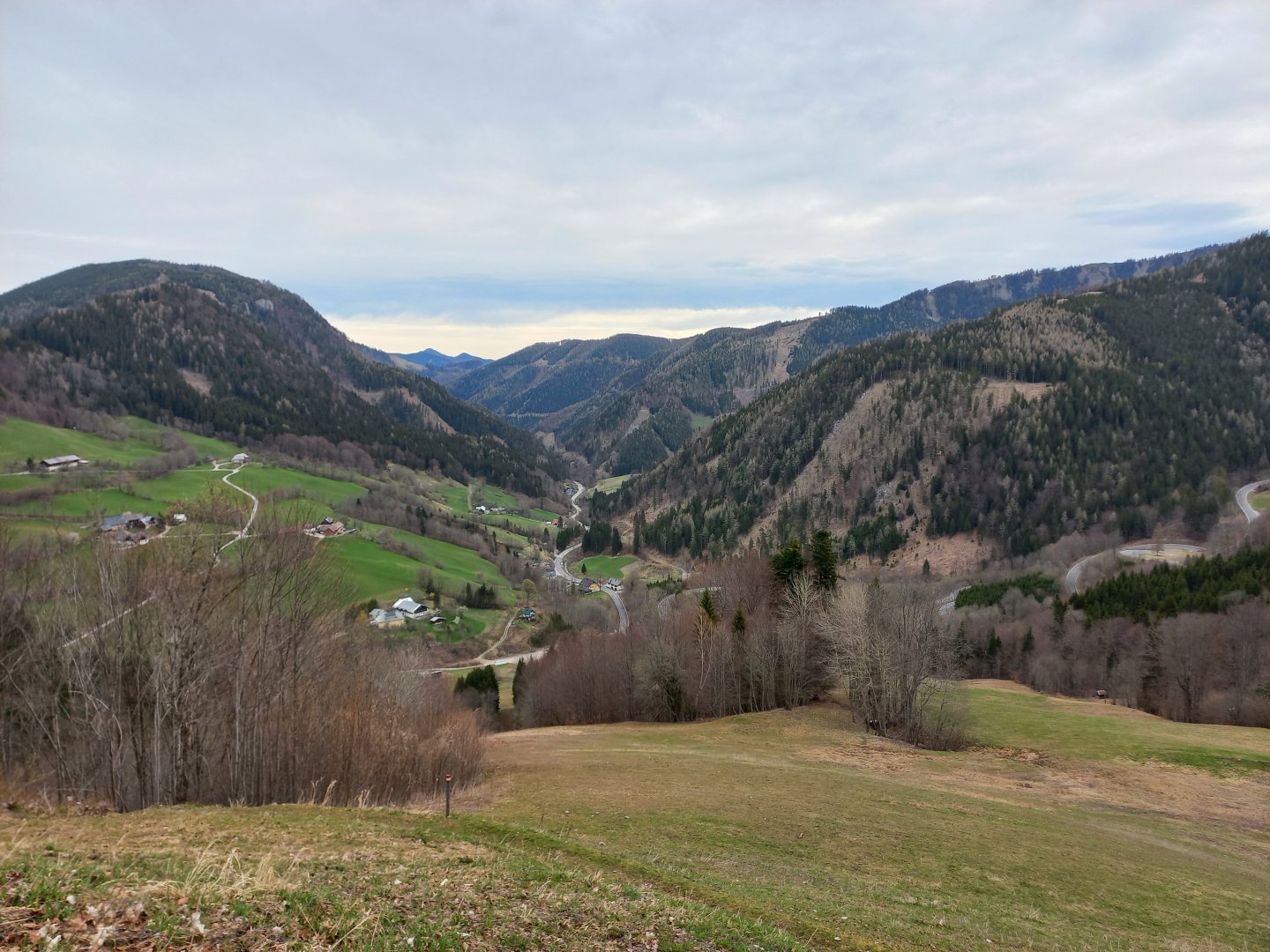
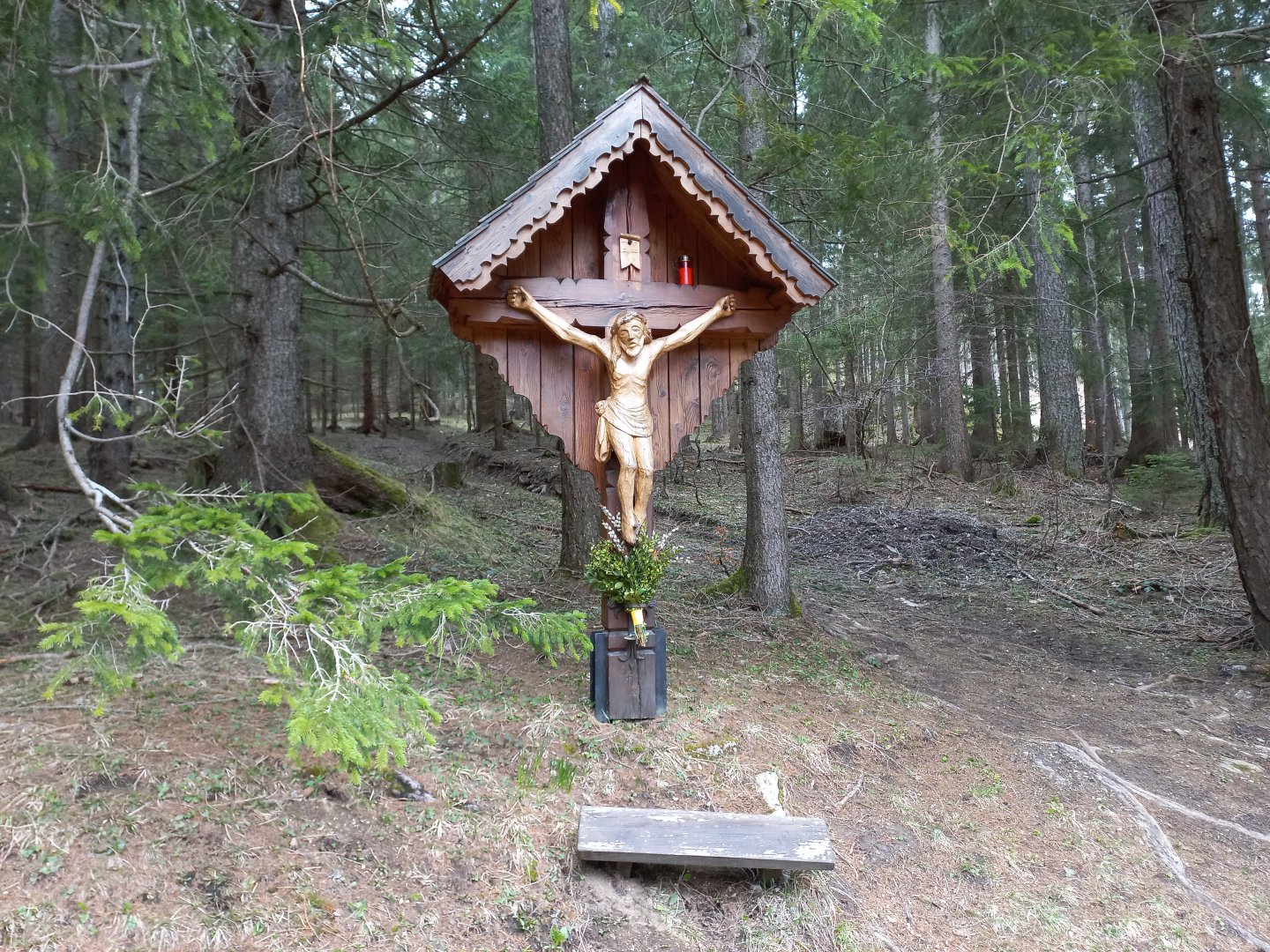
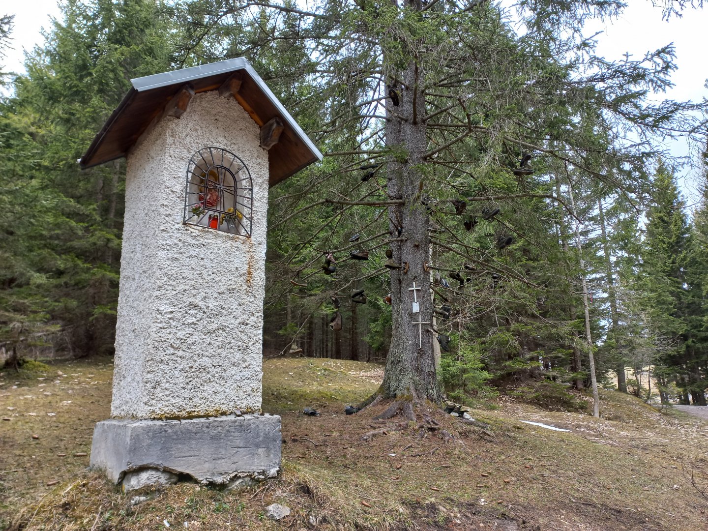
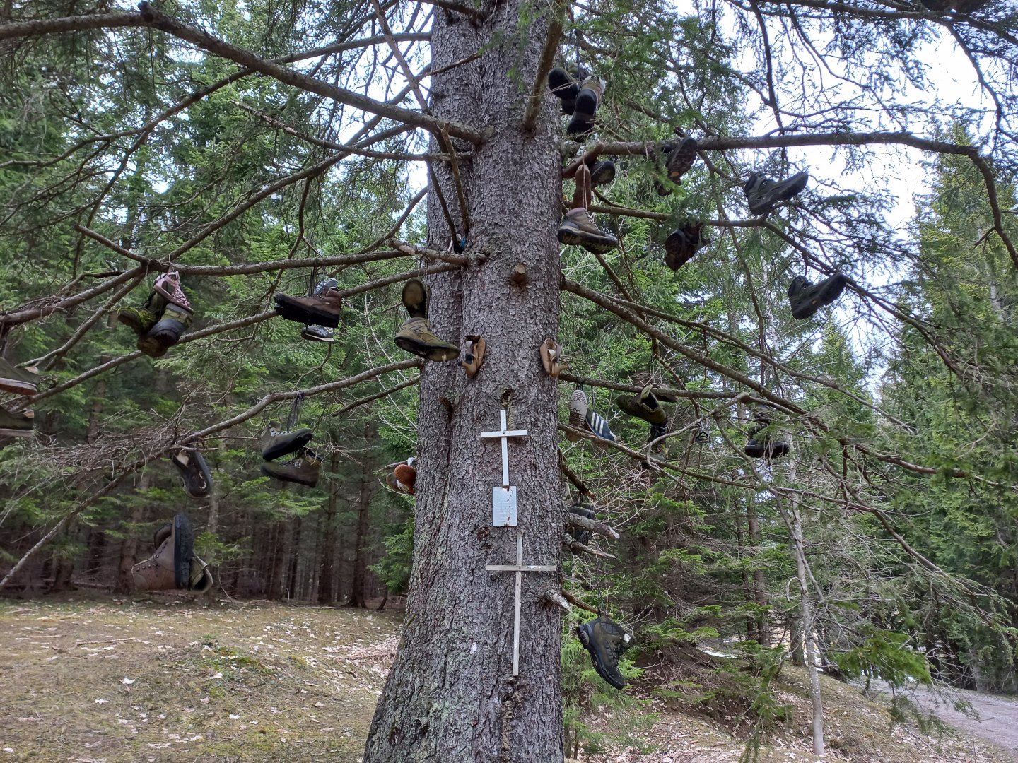
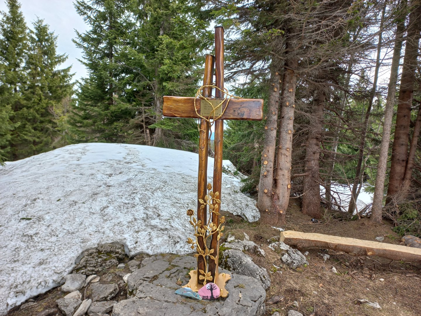
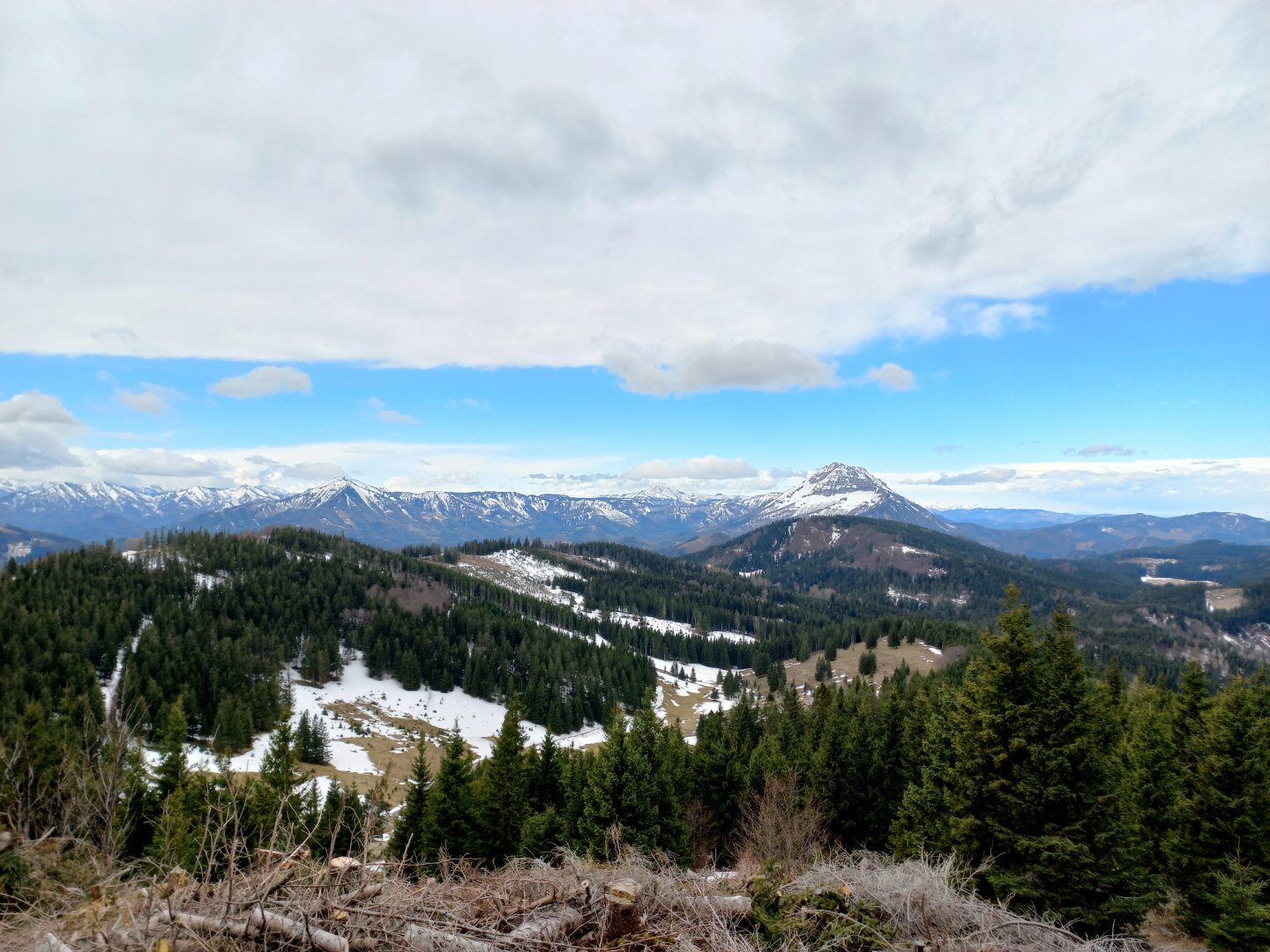
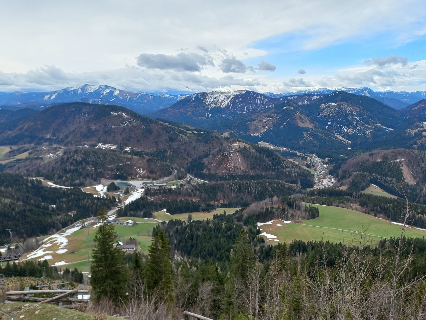
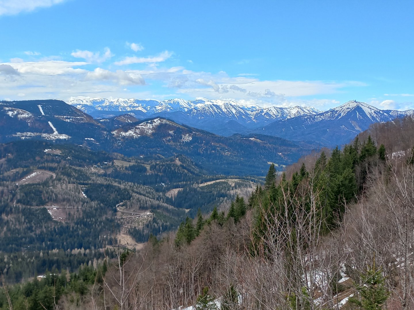
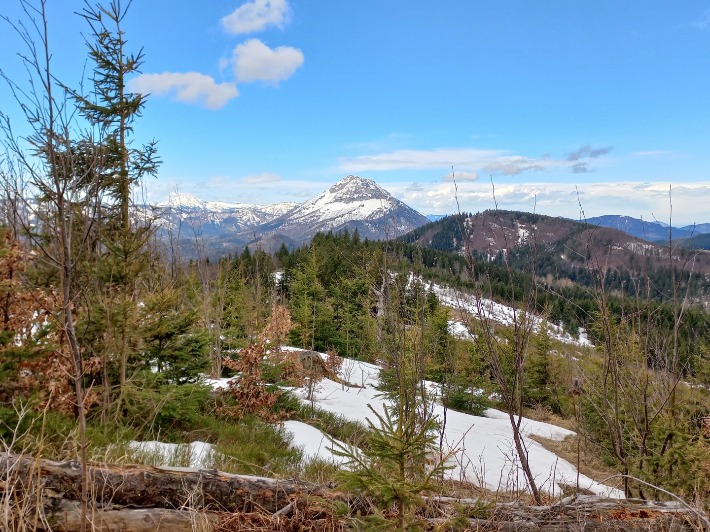
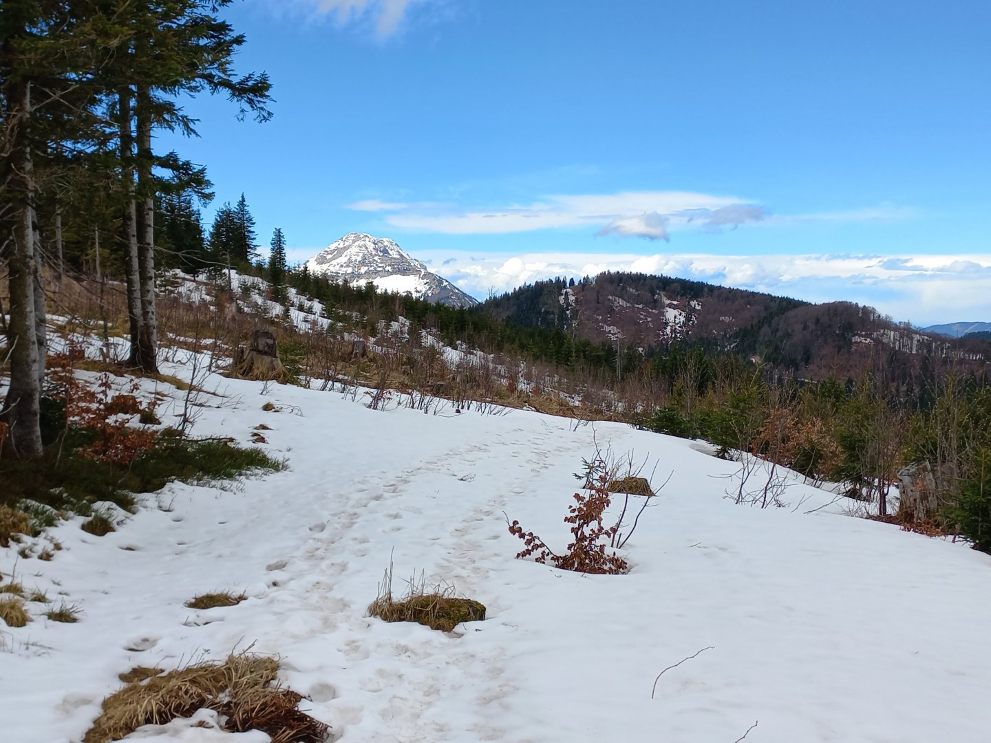
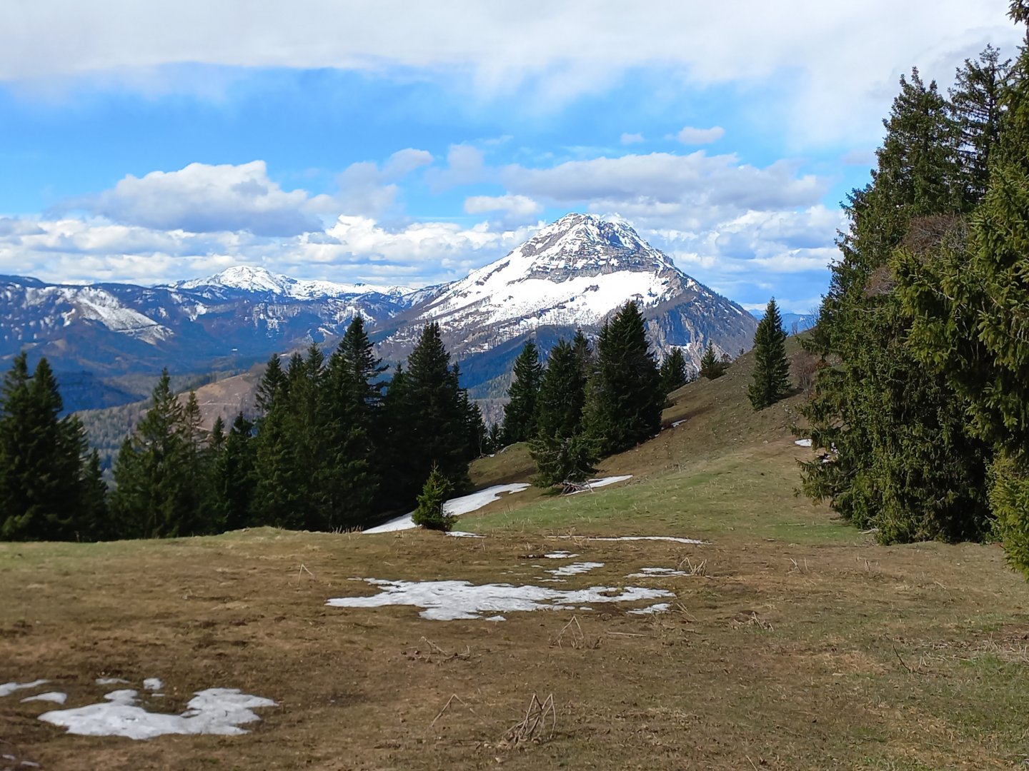
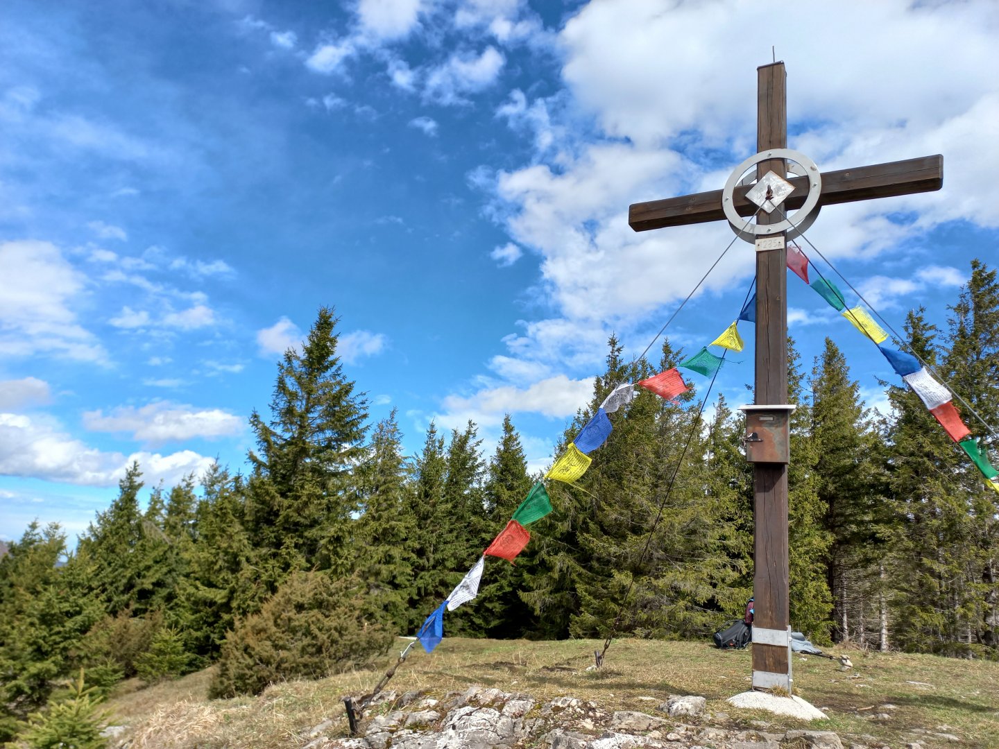
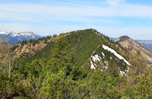
I follow the marked trail from the church towards Weisses Kreuz. The trail first goes along the path past the Ginsel hill, crosses the ski slope and continues along the wide forest path past the farmhouse further into the forest. There are signs along the old pilgrimage route, holy pictures on the trees, and a cross here and there by the road. A curious decoration is at the Weisses Kreuz (White Cross). The tree next to it was apparently chosen by a few pilgrims to hang their worn-out shoes on a nail or branch. Shortly after Weisses Kreuz I turn left across the meadow and 300 vertical metres up to Hennesteck await me. Through the gaps between the trees I can already see the hills around Annaberg. A short detour at the top takes me to the inconspicuous summit of Hennesteck (1334 m), where a new wooden cross with gold decoration stands. A short distance below the cross, a magnificent view of the Ötscher opens up across the field, which from this perspective and with its sugar-coated top resembles Mount Fuji. To the left of it you can see Dürrenstein, just a few metres lower, and the easily recognisable Gemeindealpe with its slopes and transmitter. And further south, the white slopes of the Hochschwab.
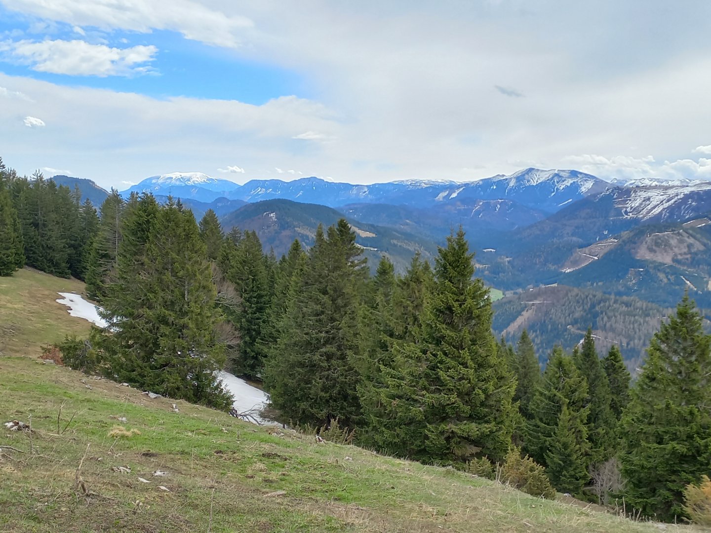
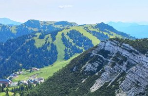
I return to the road and pass the snowmaking tank and come to the colourful upper station of the cable car. From the cable car, you can descend back down to Annaberg on the marked trail, or in summer, even faster, take the rope slide. It's possible to overlook the whole of Mariazeller Land and the surrounding area - far to the east the Schneeberg, the easternmost two-thousanders of the Alps, Raxy, Hohe Veitsch, Göller, Bürgeralpe with its thin white lookout tower, to the south-west the Hoschschwab and the aforementioned landmarks of the Ybbstal. I continue past the wooden hut of Anna Almu, along a clearing between low trees further into the forest.
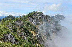
I want to see the Hochstadelberg (1285 m). At the fork I leave the marked trail, cross a clearing and continue up into the forest. Following a path on the edge of the cliff (nothing dangerous) I reach a pasture. From there I can see Ötscher like the palm of my hand, it is only a few dozen metres to the cross. The Hochstadelberg stands off the marked trail, but the views from it are fantastic, you can almost touch the next Ötscher. After resting for a while, I head back to the crossroads of the hiking trails and follow the wide forest path through the Karnreith estate back to Annaberg.
Difficulty
The easy route is on marked or forest paths. There are no exposed sections. The route can be shortened. The altitude is not too bad for the Alps.
Water availability
Snacks at Anna Alma (not working in low season), otherwise it is necessary to have some snacks with you.
Sleeping options
There is plenty of accommodation in and around Annaberg.
Mountain peaks
Ascent to Hennesteck and Hochstadelberg. Views from the east to Schneeberg, Raxy, Hohe Veitsch, Göller, Bürgeralpe with the white lookout tower, to the southwest Hohe Veitsch, Hoschschwab, to the west Gemeindealpe, Dürrenstein and Ötscher.
Danger
The trail is not dangerous, it goes all the way along forest paths or roads. It is an ideal route for a trip with children.
Food
Refreshments are available in Annaberg, otherwise you need to bring your own snacks.