Mountains Schladming Tauern
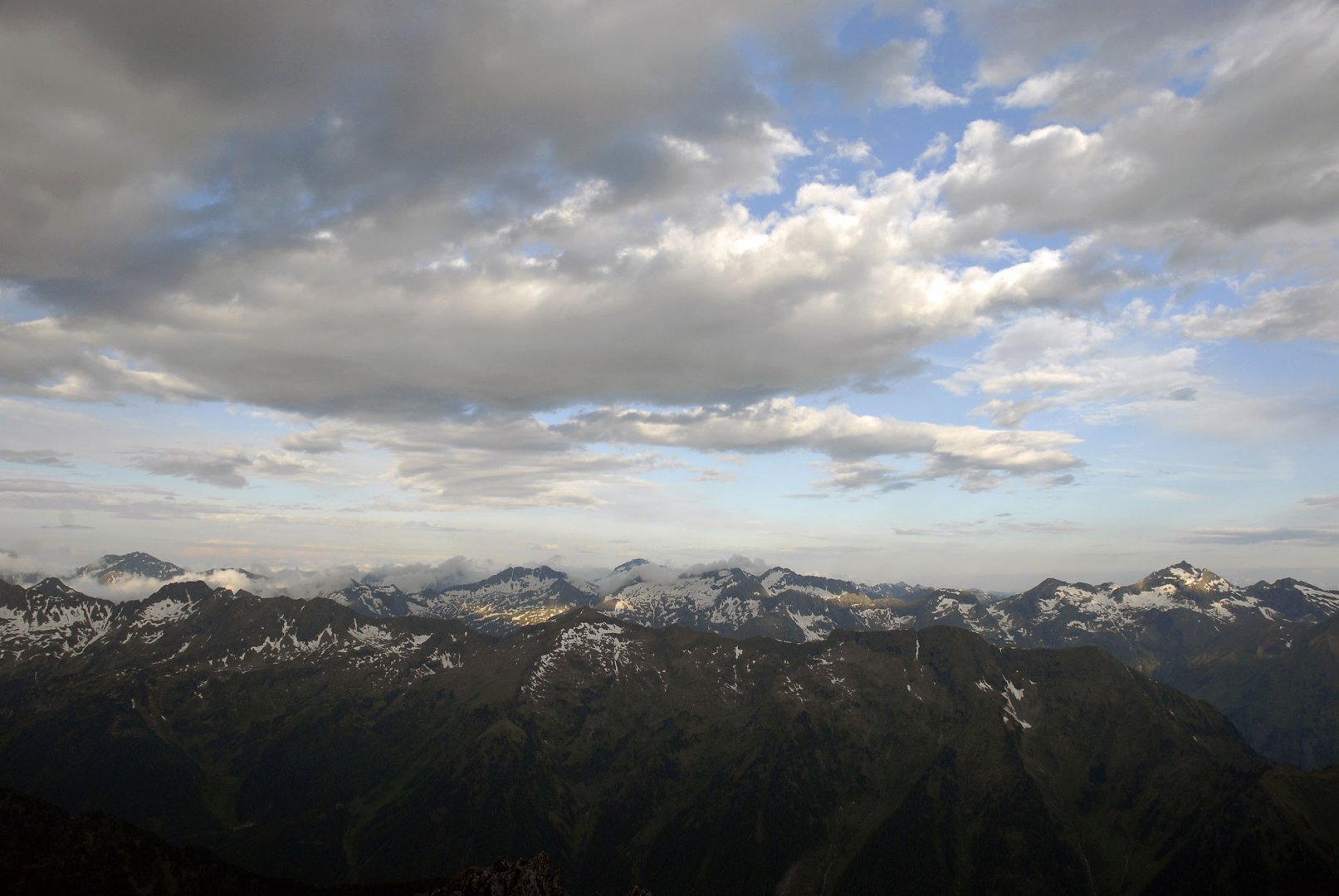
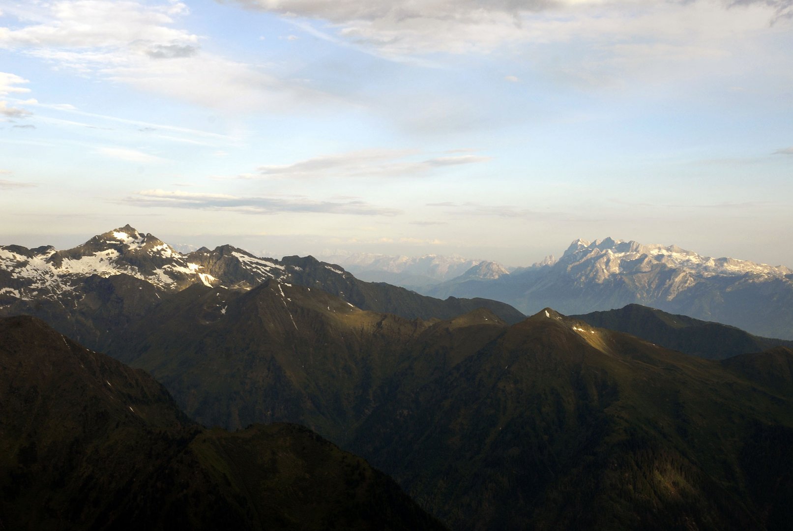
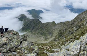
The Schladminger Tauern (German: Schladminger Tauern) is the highest mountain range in the Low Tauern. It has the highest mountain - Hochgölling 2 863 m above sea level. The mountain is named after the nearby tourist centre, the town of Schladming.
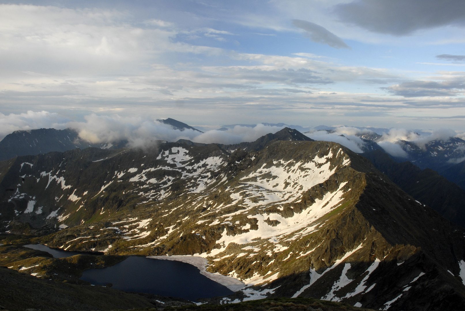
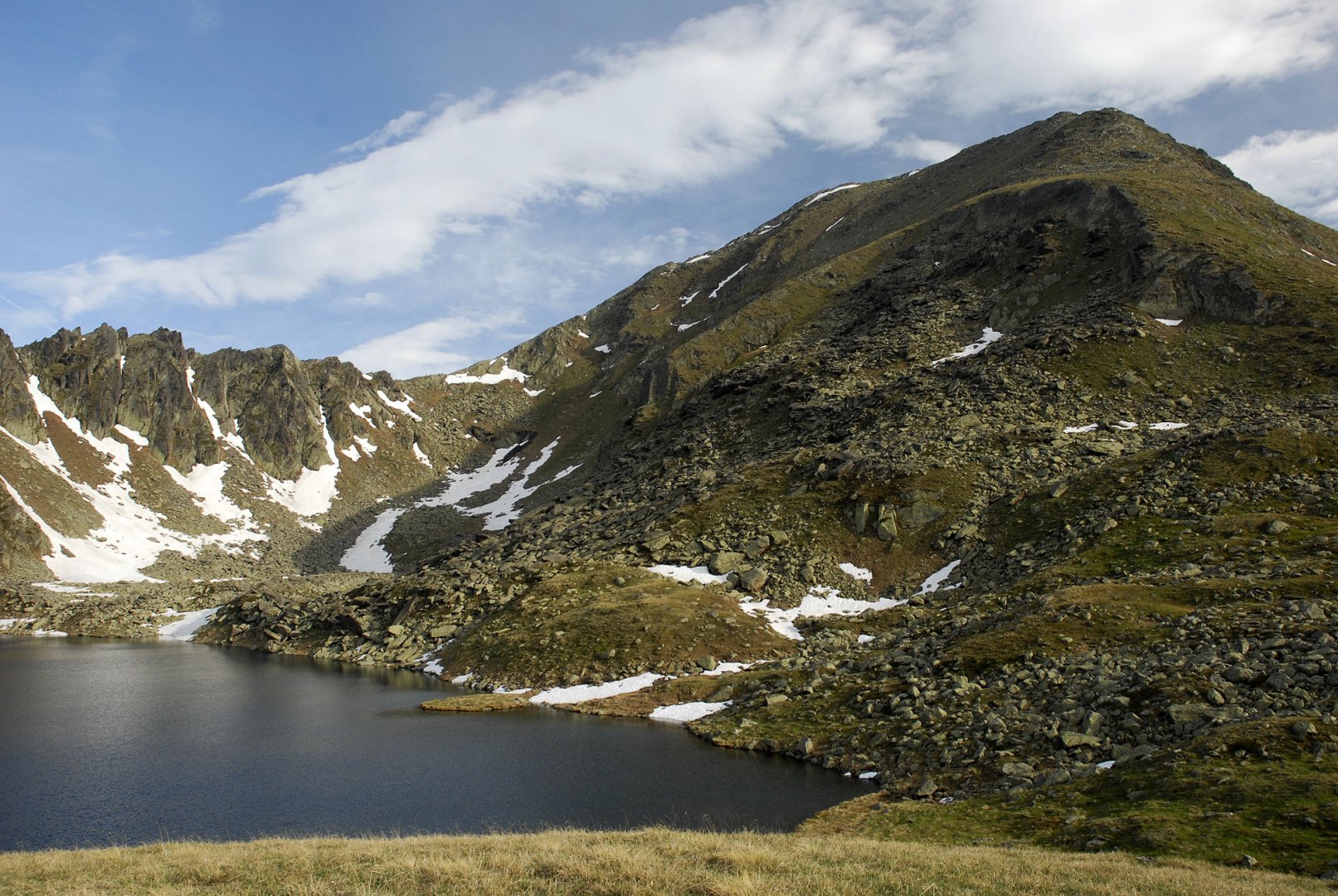
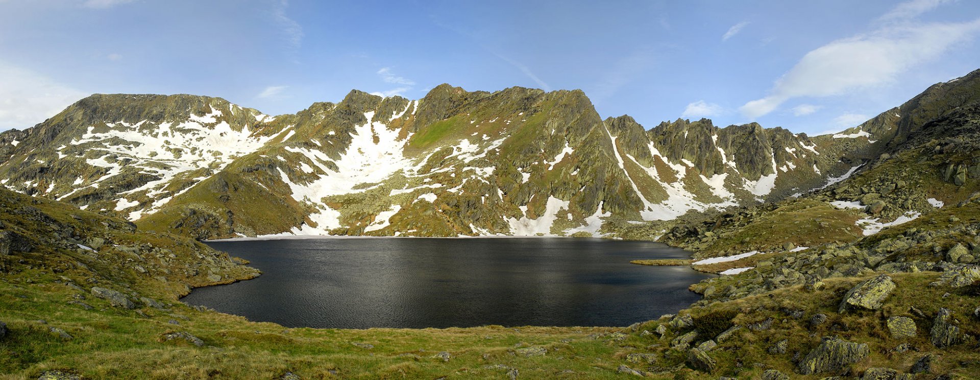
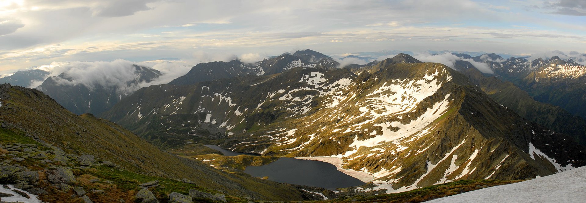
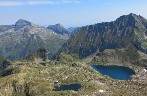
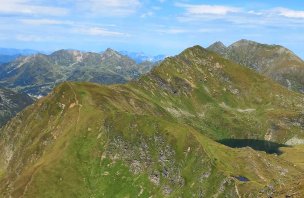
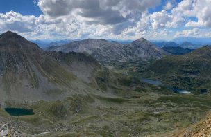
The mountains are mainly rocky and have many beautiful lakes (e.g. Klaffersee and Rauhenbergsee). It is about 50 km long and borders the Rottenmann Tauern, Nockberge, Wölz Tauern, Radstadt Tauern, Dachstein and Dientener Berge.

The highest mountain
Hochgolling 2 863 above see level
List of major mountain peaks
Hochwildstelle 2 747 above see level, Roteck 2 742 above see level, Preber 2 740 above see level, Kasereck 2 740 above see level, Waldhorn 2 702 above see level.
Schladming Tauern is divided
Protected areas
Sölktäler Nature Park
More information
It's part of the system: Low Tatras
It is in country: Austria
Predominant rocks: shale; granite; rune