Mountains Low Tauern
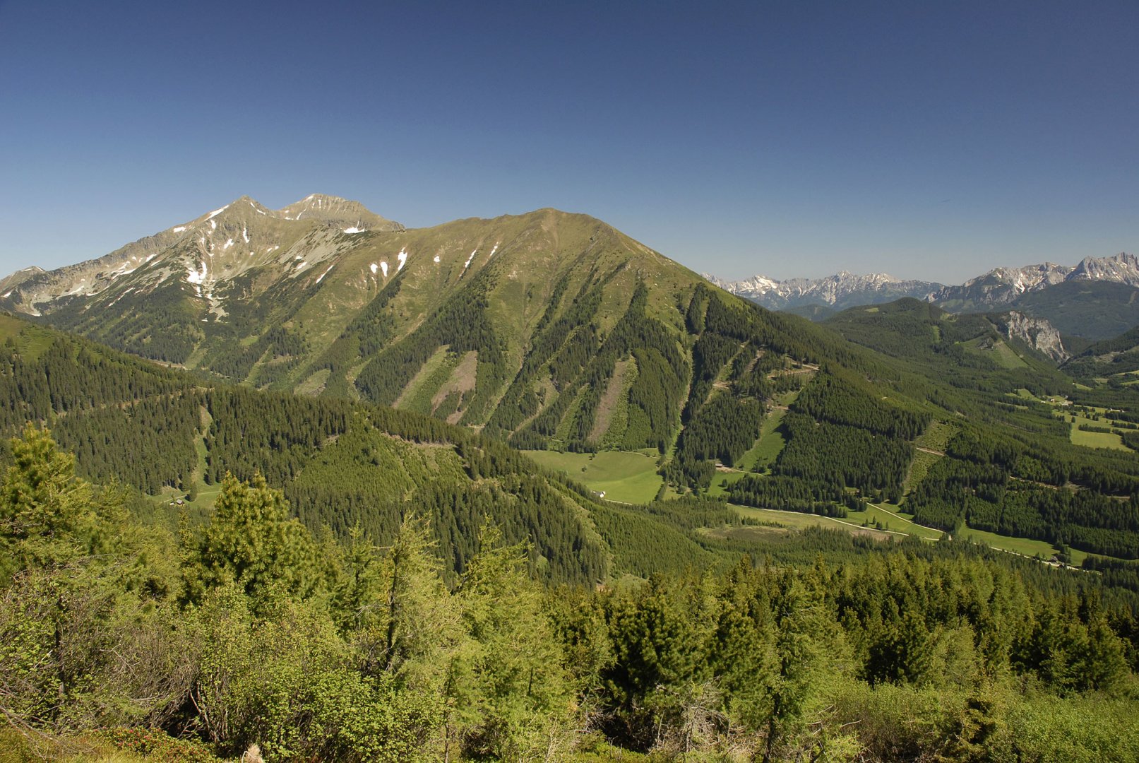
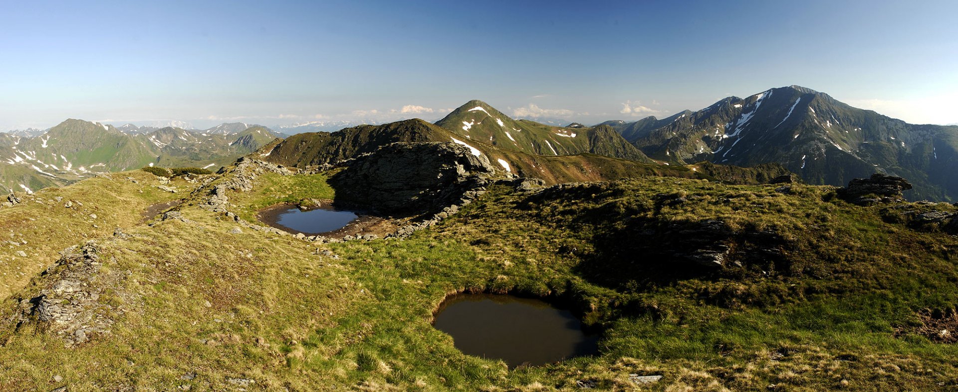
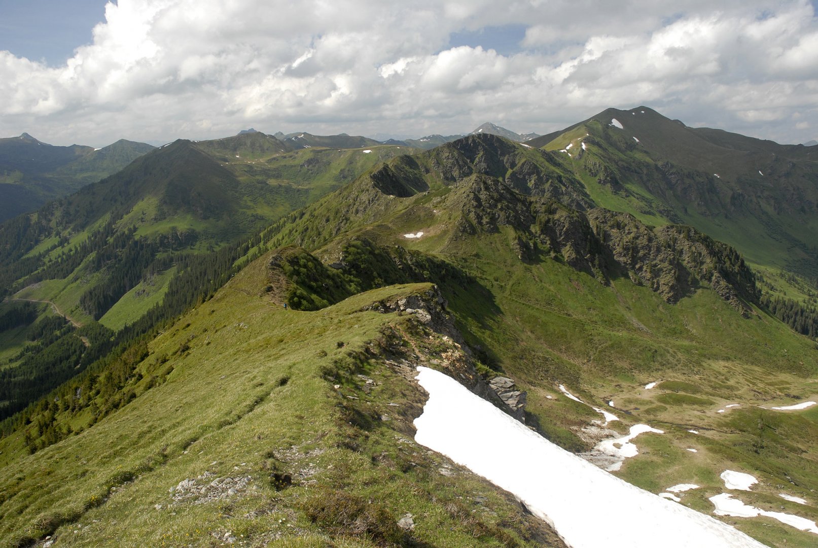
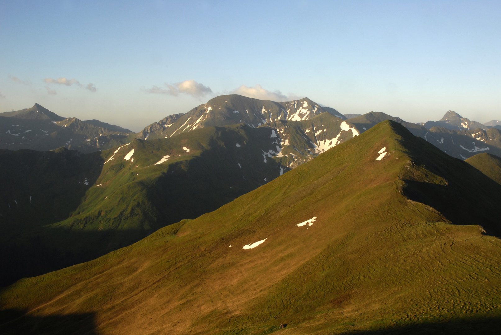
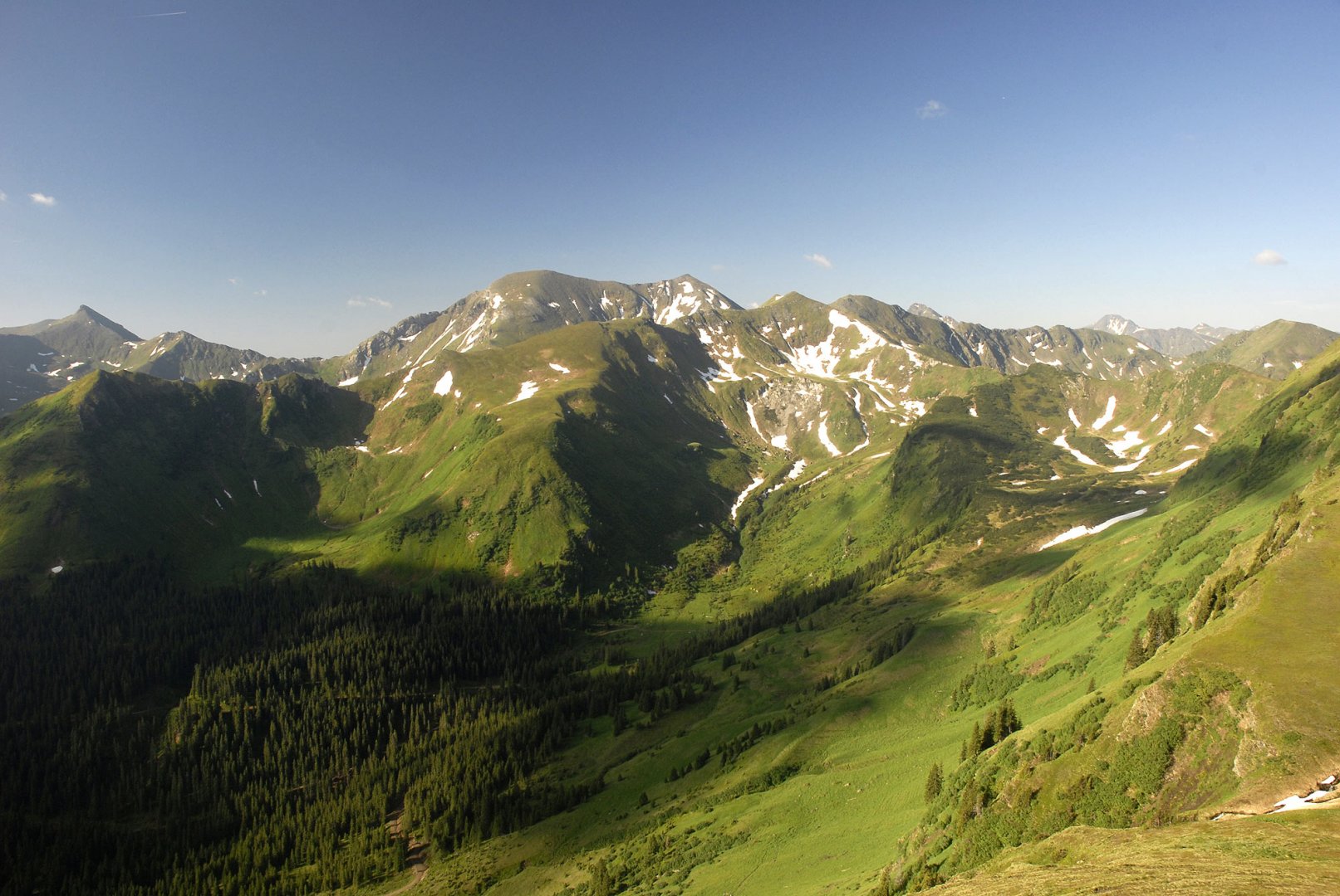
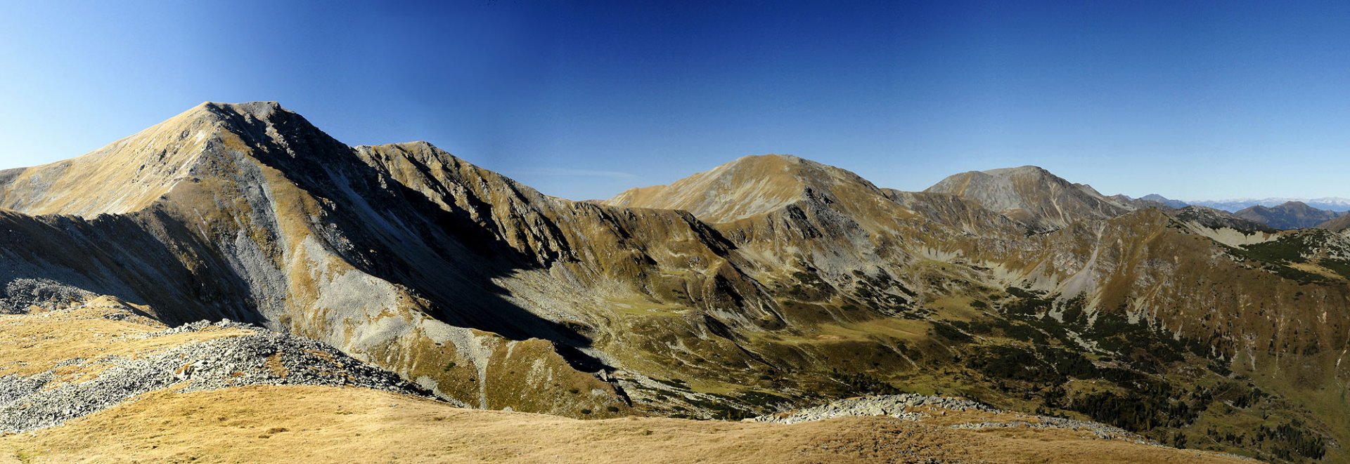
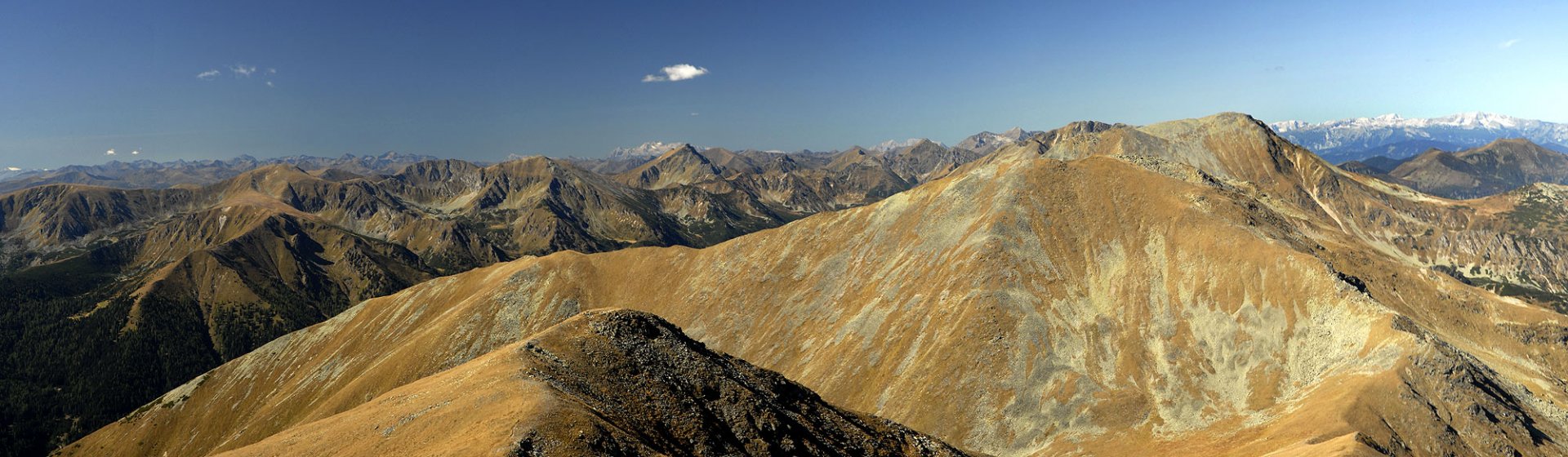
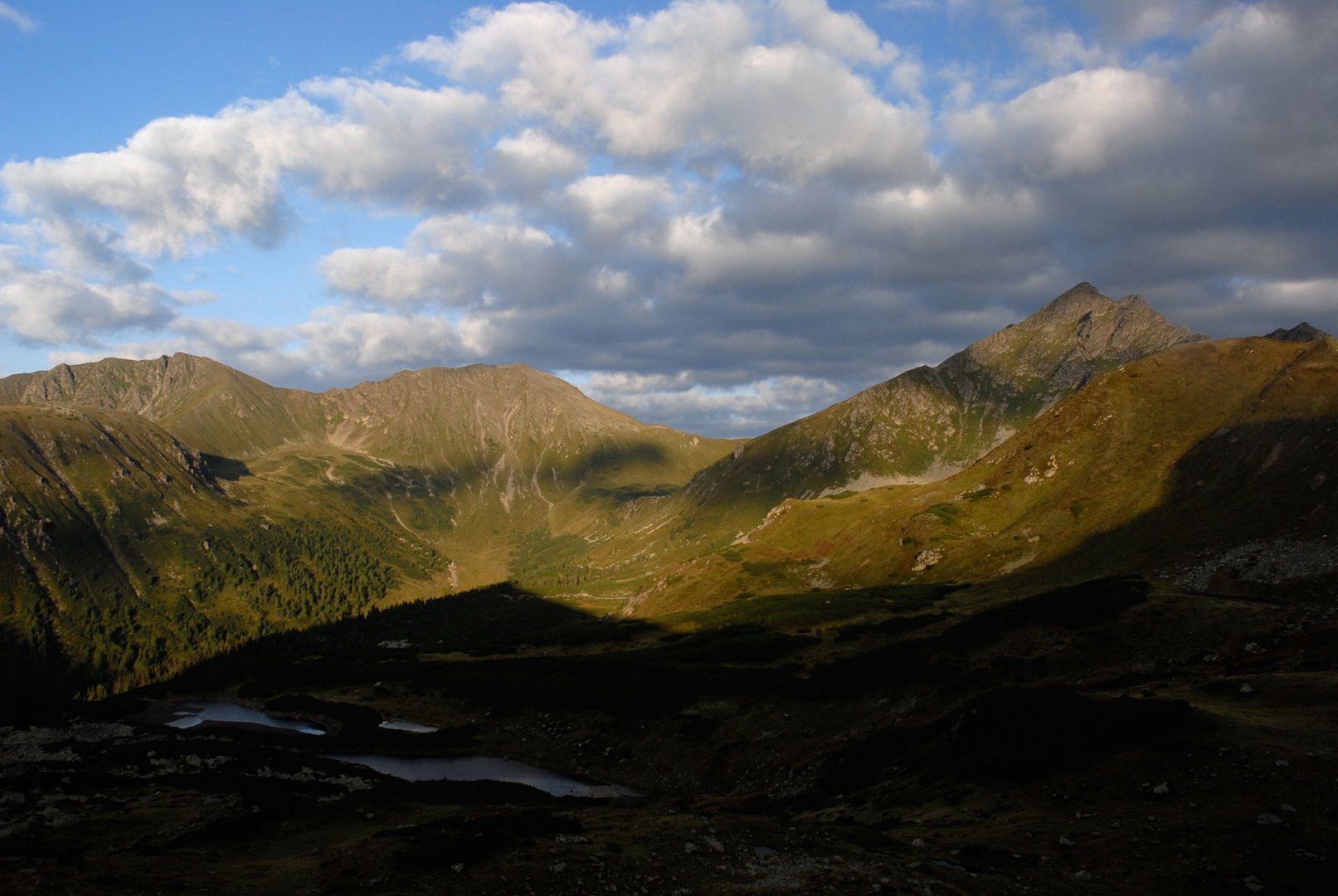
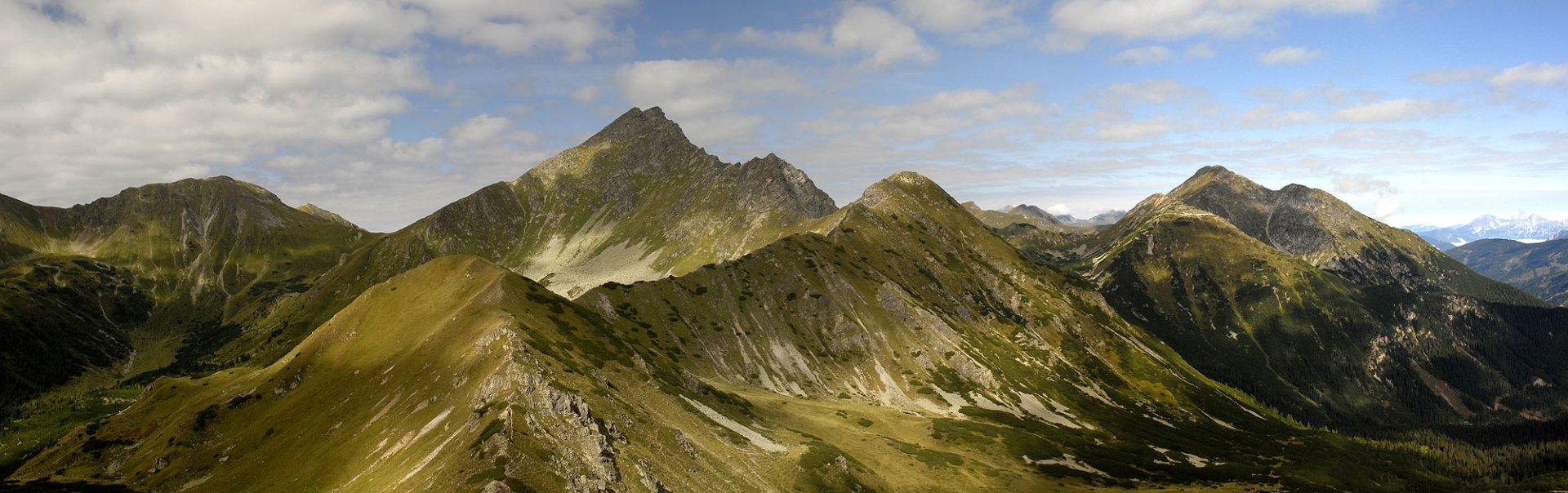
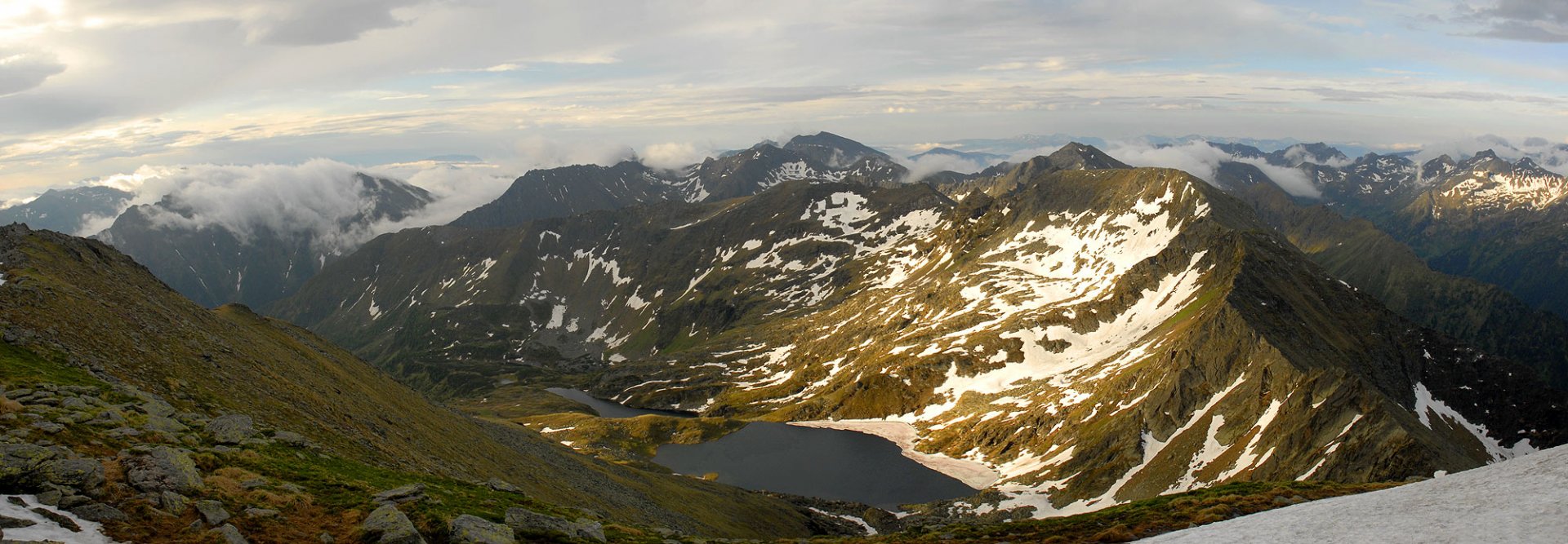
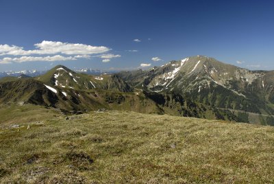
The Low Tauern (Niedere Tauern in German) are divided into several separate units, which are typologically different. The easternmost part of the Low Tauern is called the Seckauskie Tauern with the highest mountain Geierhaupt 2 417 m above sea level. In this mountain range, beautiful grassy ridges with high rocky peaks complement each other.
The highest mountain, the Rettelkirchspitze 2 475 m above sea level, is located in the western part of the mountain range in the lateral range. Behind the Sölkelpass is the most famous, most visited and highest mountain of the Low Tatras - the Schladming Tauern. The highest mountain of the entire Low Tauern, the Hochgolling 2 863 m above sea level, is here. The westernmost part of the Low Tauern is the Radstatské Taurus, which is separated from the Schladming Tauern by the Obertauern saddle. The highest mountain, Hohes Weisseck 2 711 m above sea level, lies in the southern part of the mountain range. The mountain range is continuously linked to the High Tauern in Austria.
The highest mountain
Hochgolling 2 863 m above see level
List of major mountain peaks
Hochwildstelle 2 747 m, Geierhaupt 2 417 m, Gr. Bössenstein 2 448 m, Rettelkirchspitze 2 475 m, Mosermandl 2 680 m
Low Tauern is divided
Seckauer Tauern; Rottenmann and Wölz Tauern; Schladming Tauern; Radstatt Tauern
Protected areas
More information
It's part of the system: Central Crystalline Alps
It is in the countries: Austria
Prevalent rocks: granite; schist