Mountain range, region / State
Arménská vysočina / Armenia
Season
Summer
19. 07. 2019
Difficulty
2 / 5
Elevation
↑ 154 m
↓ 1219 m
Length
14.3 km
6 hours
Altitude
max. 3234 m n.m.
min. 2133 m n.m.
Tips for hikes in the mountain range Arménská vysočina
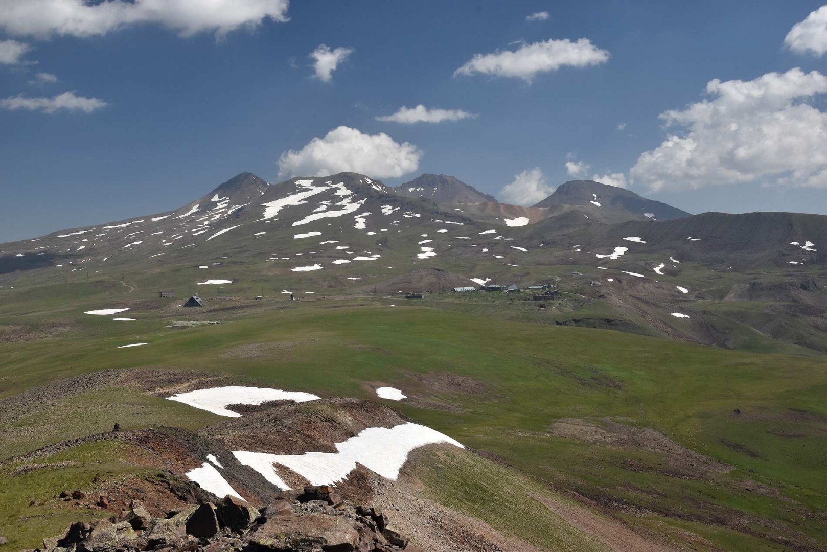
Ascent to the southern and western summit of Aragats volcano near Yerevan
Hiking from Kari lake to Amberd fortress in Armenia
Starting point
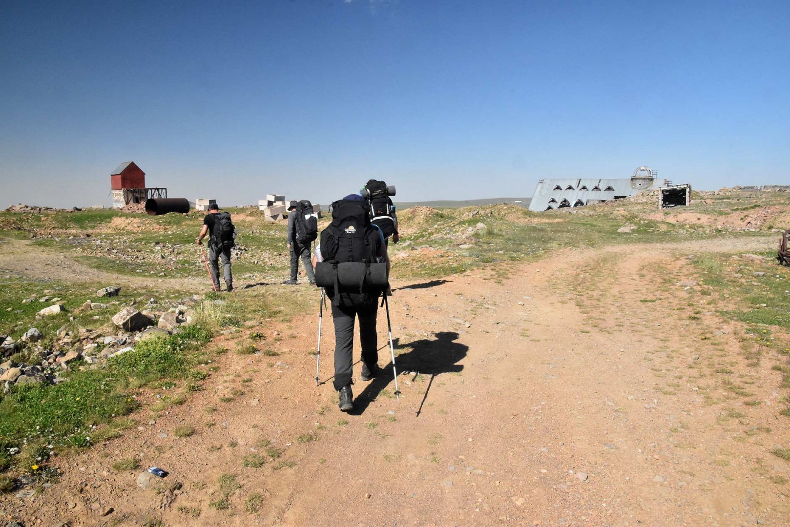
Lake Kari Lake, located south of Armenia's highest mountain, Mount Aragats. There is a road leading to the lake, so it is possible to get here by taxi.
Description of the hike
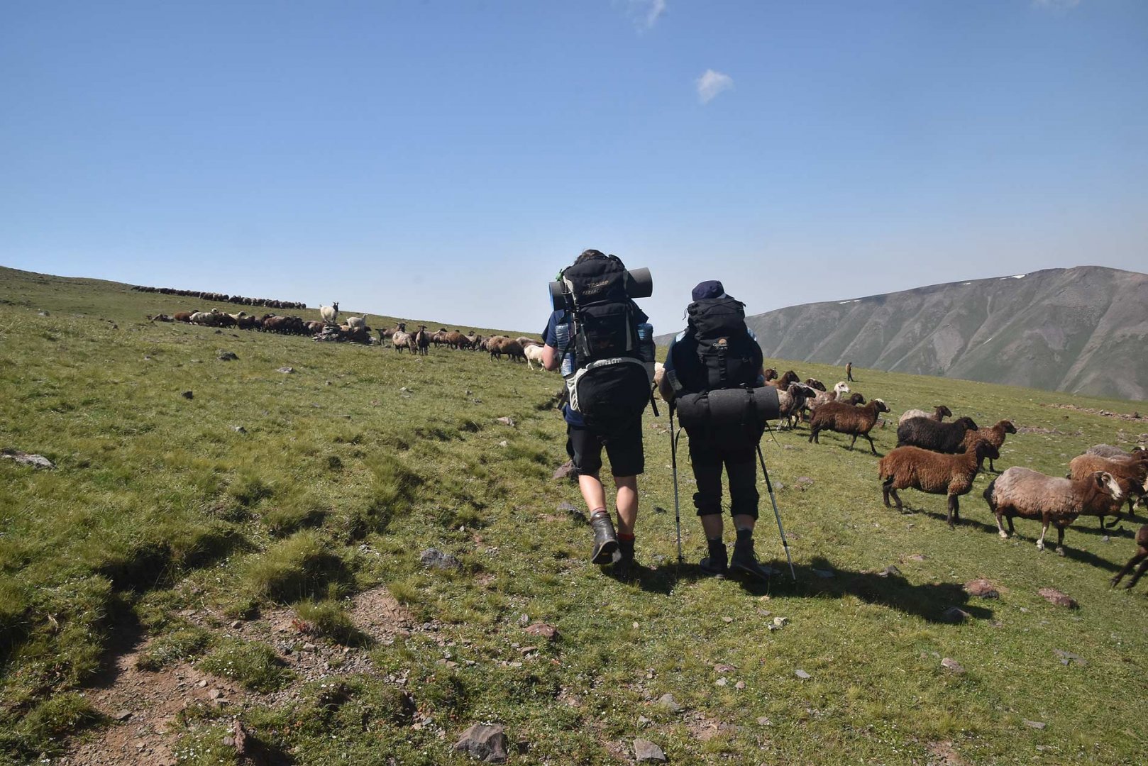
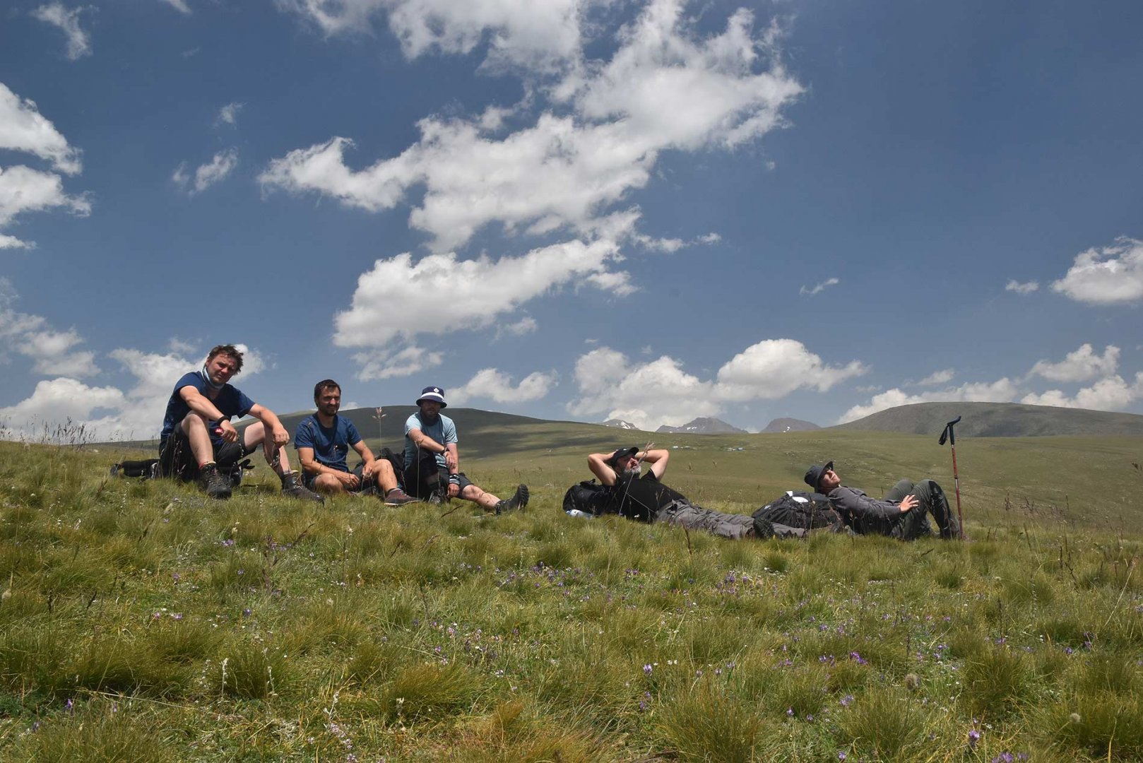
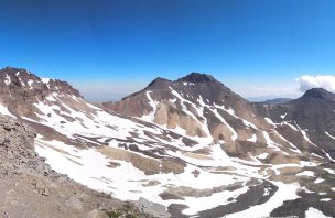
From Kari Lake we took a dirt road towards Mount Amberd. We chose a path between this mountain and the deep canyon of the Ampur River. Apart from a slight harassment by herding dogs, the walk to the bottom of the mountain was beautiful. We left our packs at the base of Mount Amberd and took it easy to the top. At the top you walk on large stone fields.
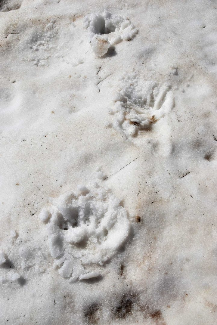
And it was here that we had an unexpected encounter. On the other side of the stones there was a bear. Fortunately, he was as scared of us as we were of him and so he took his feet on his shoulders and ran away. Unfortunately, he chose the direction to the top of Mount Amberd. And since he kept looking at us what we were doing, we decided not to provoke him and a little below the summit we turned around and walked back to our packs. We told the local herder about the existence of the bear, but he obviously knew about it and was completely calm.
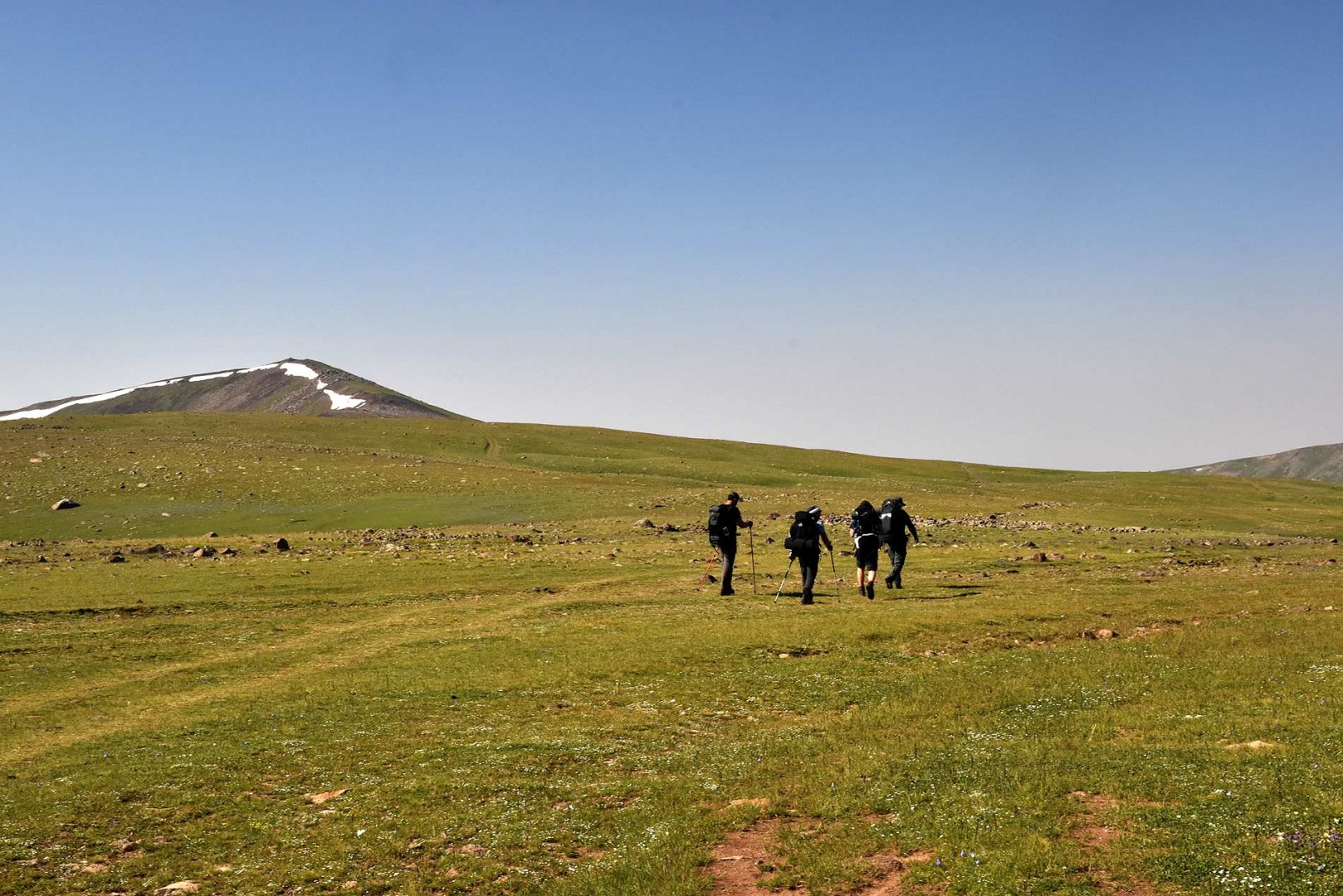
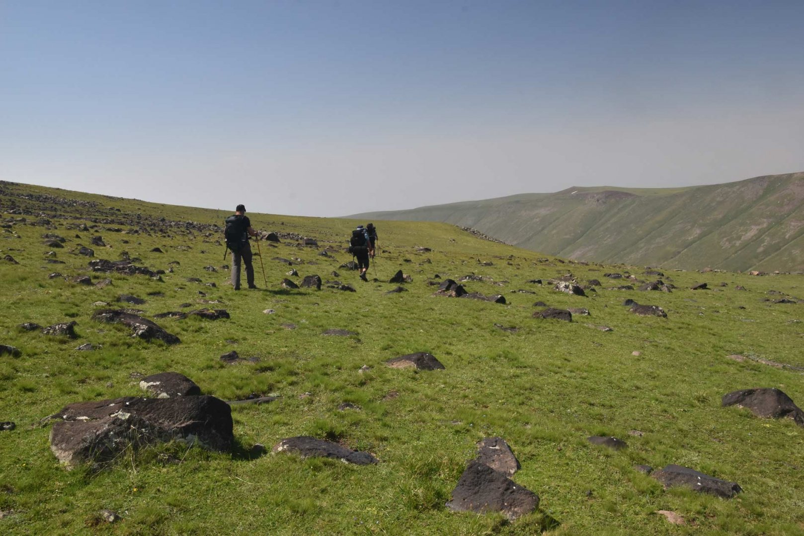
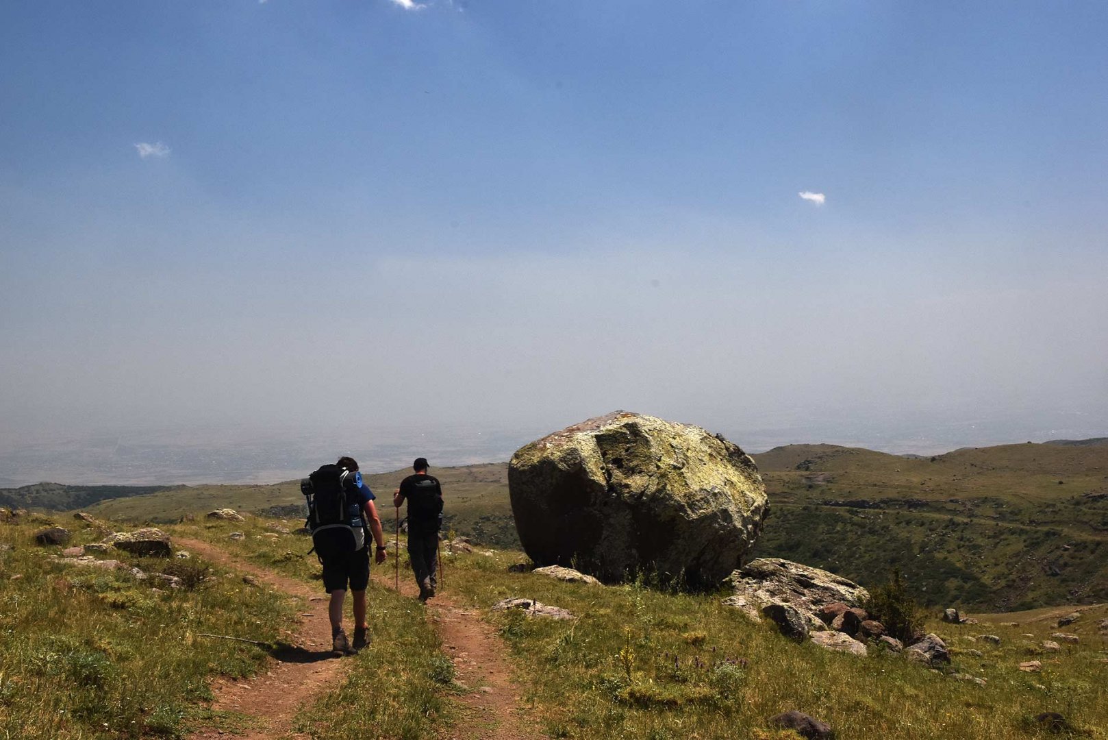
So we continued to walk along the beaten path. From Mount Amberd we still walk on wide plains. The landscape here is still the same and the path did not run very well. Gradually we started to descend more and more. With that the landscape started to change, there were more rocks more often. But we didn't come across trees all the time. There are quite a lot of beaten paths on the plains, so the GPS on our mobile helped us in orientation.
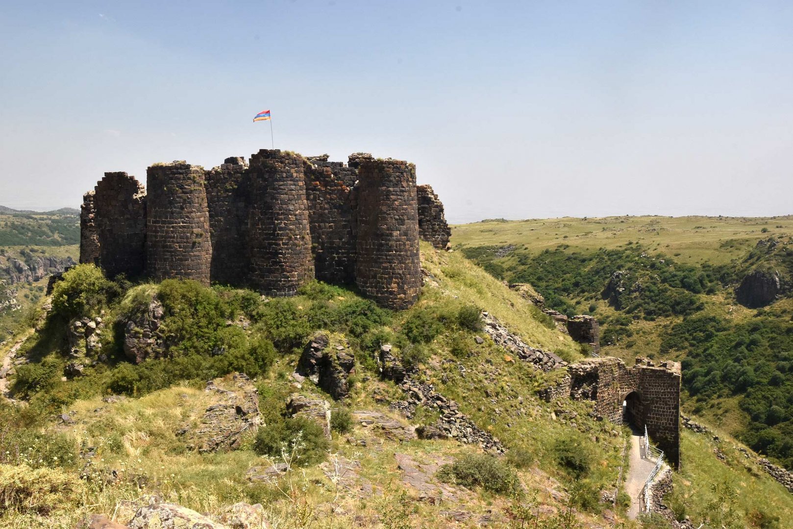
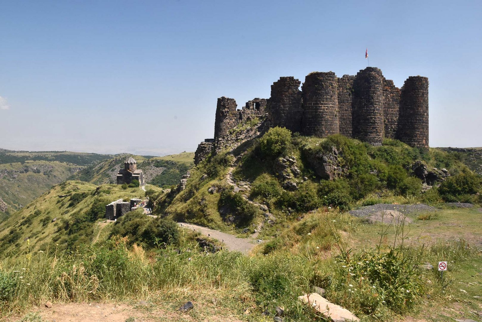
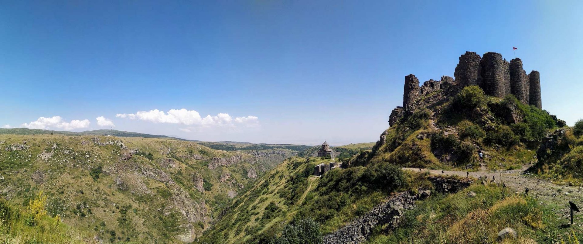
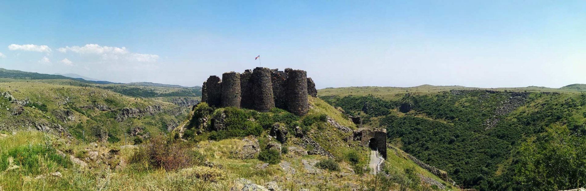
Eventually we came within sight of the fort. By then we were quite tired from the sun and the long journey. In front of the fort, we joined a wide road and followed it to our destination. Luckily there is a refreshment place where they have cold beer. After replenishing our energy, we took a tour of the fort and then waited for the ride we had arranged. It was the same guy we stayed with in Yerevan. So he drove us back to Yerevan.
Difficulty
Technically a very simple trek. The whole time you walk on the plains, where there are beaten paths. Since the trek starts at an altitude of about 3,200 m above sea level, most of the route is downhill. The only exception was an attempt to climb Mount Amberd. There is no official road to it and so we walked on stone rubble. Orienteering is also no problem, the route goes between the canyon and the massif of Mount Amberd.
Water availability
We didn't encounter any water on the trail. We had a supply of water, which we picked up at a pub near Lake Kari. About 2 litres of water was enough for us. There is a refreshment point at Amberd Fort where you can refill liquids without any problem.
Sleeping options
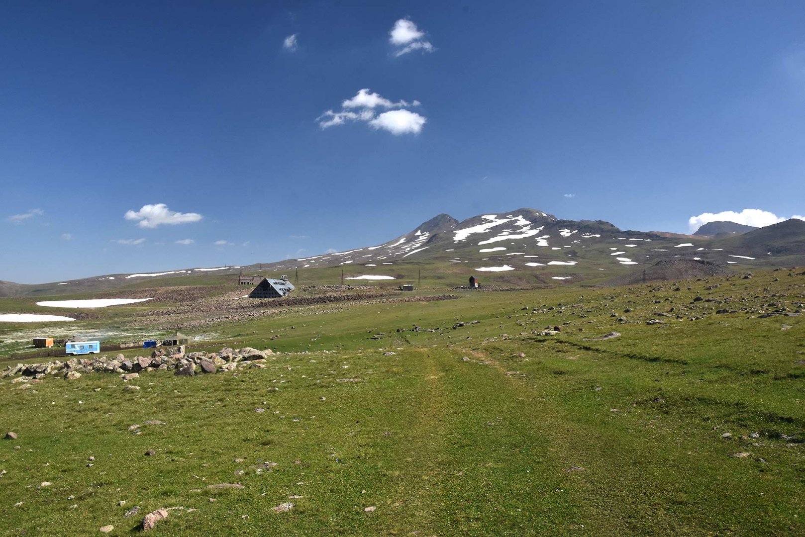
We spent the night at Kari lake. There is a hotel there, we slept with other trekkers on the other side of the lake.
Mountain peaks
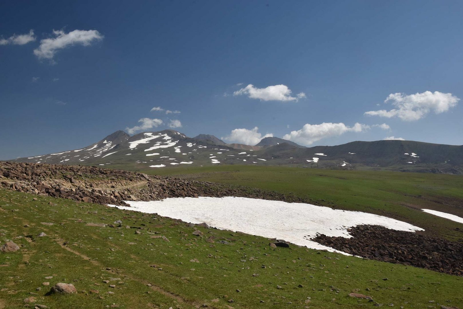
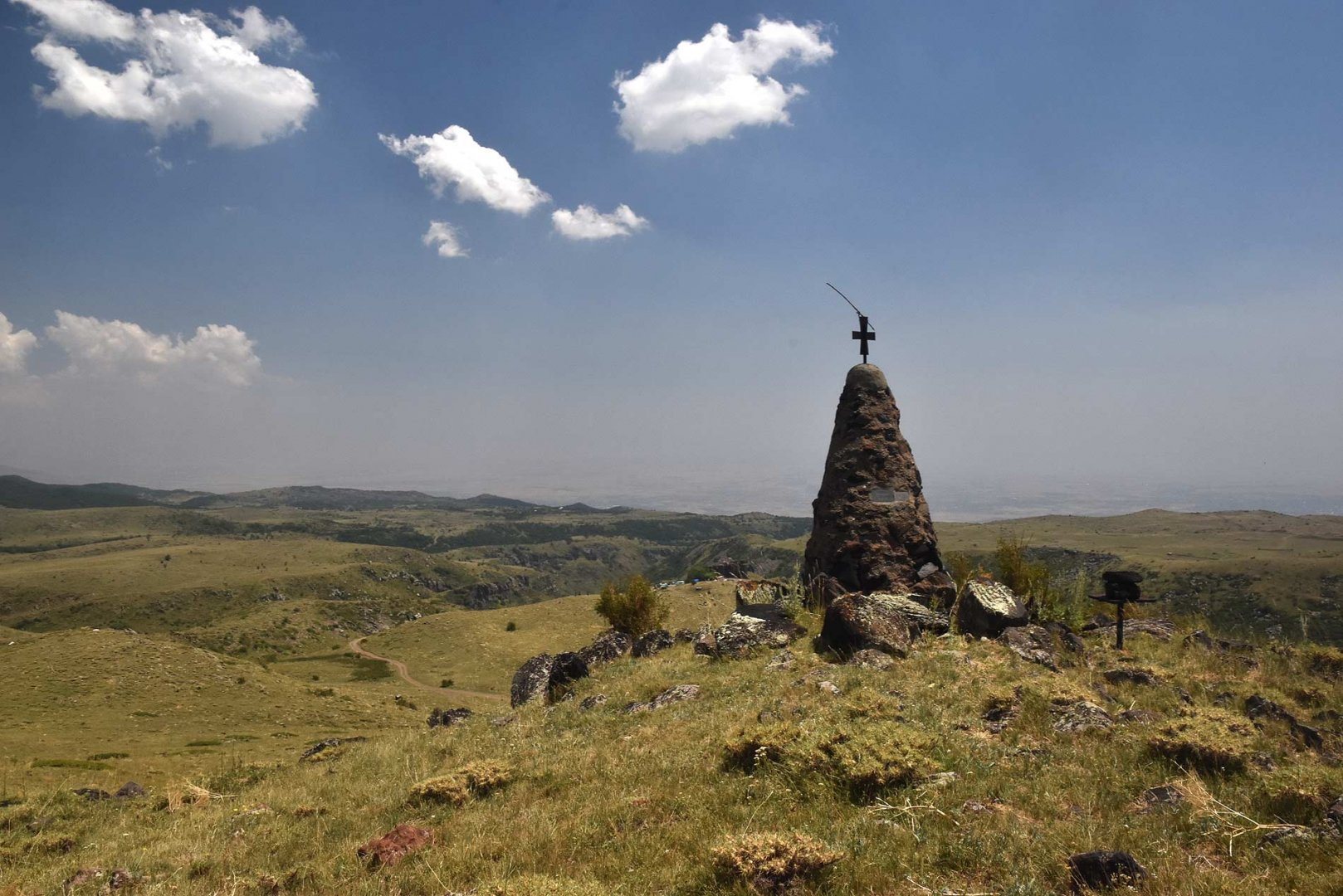
Along the way we tried to climb Mount Amberd 3,243 m above sea level, but the wildlife chased us off just below the summit. Even so, the views, especially of the Aragats volcano, were great. And, of course, the sacred mountain Ararat in Turkey is also clearly visible.
Danger
All the time you are walking on wide plains. There are no exposed places. As you are always walking in open countryside, storms can cause inconvenience in summer. There's nowhere to hide. And, unexpectedly for us, it is necessary to beware of bears even at these heights. We met one just below the summit of Mount Amberd. The herding dogs that guard the herds also barked at us. It's good to have trekking poles for protection.
Food
Refreshments are at the end of the trek at Fort Amberd. Along the way, we finished the supplies we had left from the previous days.
Attractions
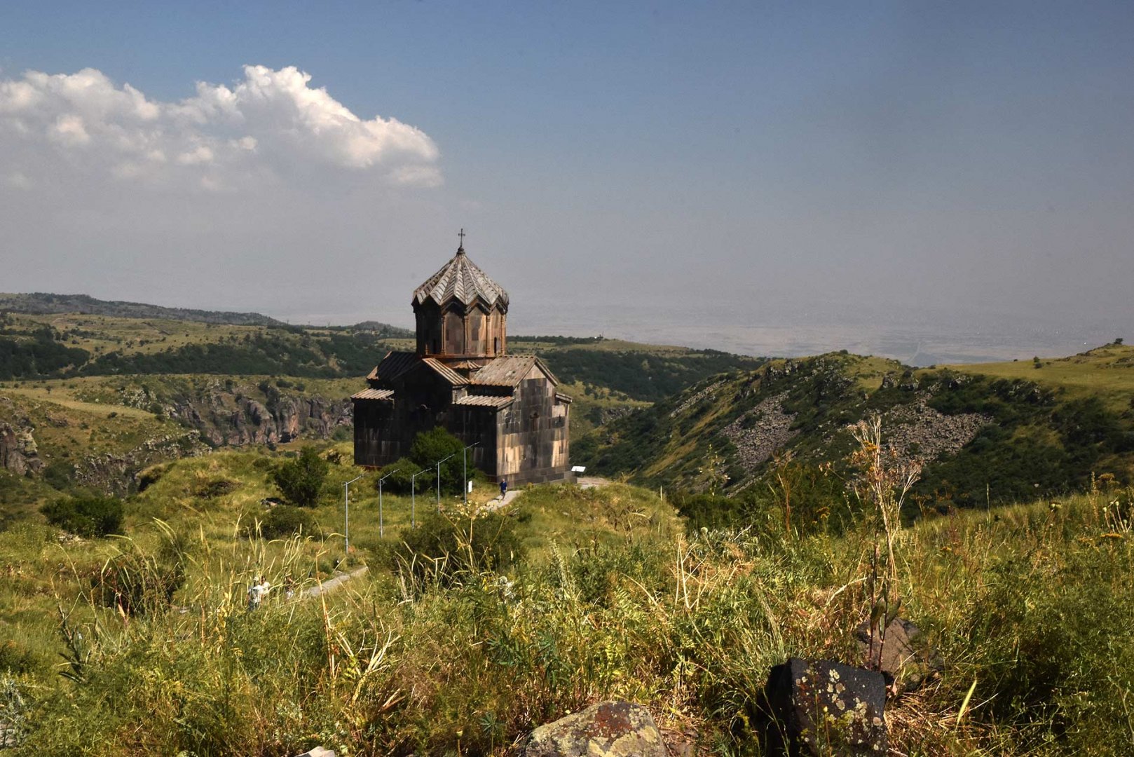
Amberd Fortress, the destination of our trip, is located on the slopes of Mount Aragats at an altitude of about 2,200 m above the confluence of the Arkaseh and Amberd rivers. The fortress was built around the 7th century and underwent a major reconstruction in the 11th century, when it took on its present form. At that time the fort belonged to the Pahlavuni family. At the end of the 11th century, the Turks conquered the fortress and made it their military base. At the end of the 12th century, the Armenians recaptured it with the help of the Georgians. In the 13th century, however, the fortress was captured by the Mongols and partially destroyed. Since then it was abandoned until the 20th century, when work began to save it.
Photos