Mountain range, region / State
/ Croatia
Season
Summer
25. 08. 2022
Difficulty
1 / 5
Elevation
↑ 448 m
↓ 448 m
Length
6.7 km
4 hours
Altitude
max. 1487 m n.m.
min. 1115 m n.m.
Tourist map of the Risnjak Mountains range
Tips for hikes in the country Croatia
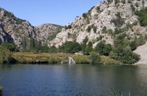
A short trip to the Kudin Bridge on the Krupa River
Treking to Mount Snježik in N.P. Risnjak in Croatia
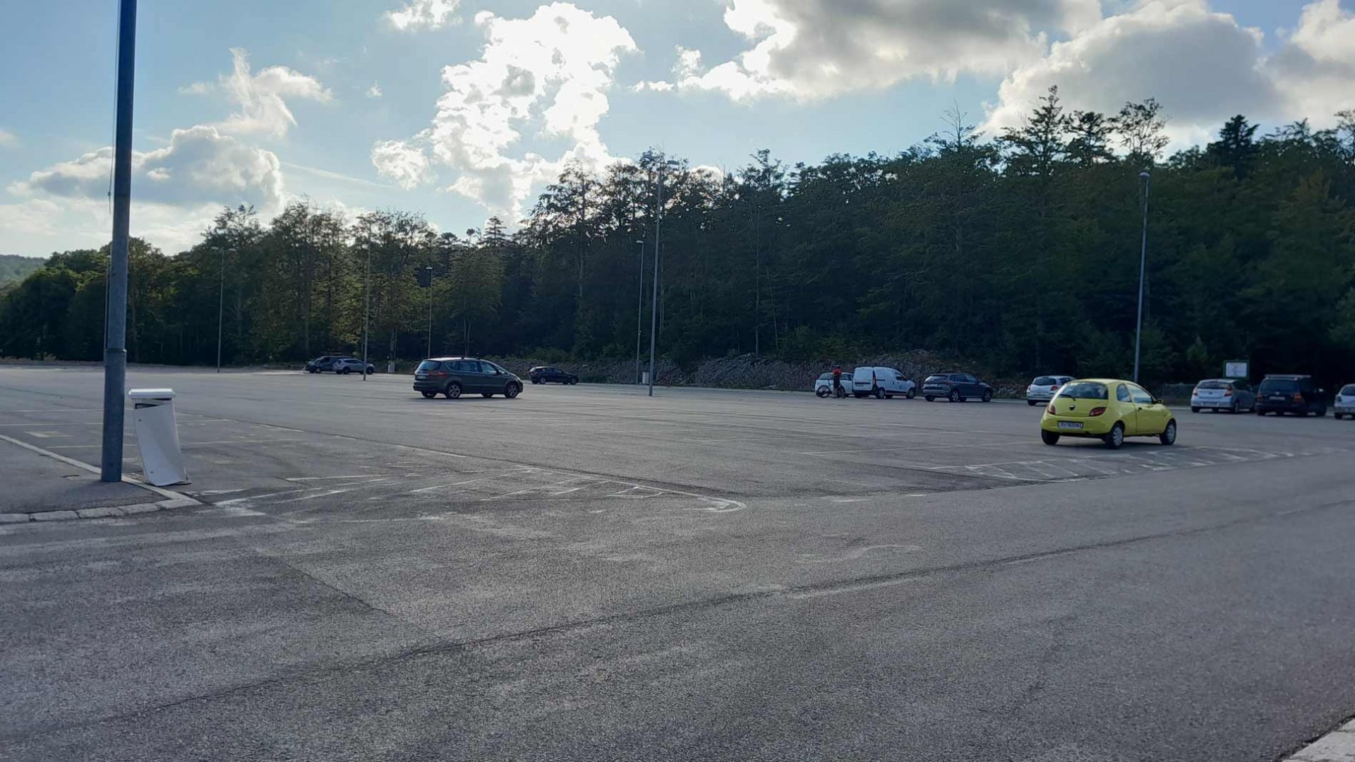
Starting point
Large parking lot at the ski area being built here (2022). A newly repaired road leads to the parking lot, which turns off the main road leading from Rijeka. The parking lot is free of charge, the marked road starts right next to it.
Description of the hike
After a few days of lying by the sea, we decided to go on a trip. And since we had the mountains of N.P. Risnjak in front of our eyes every day, the goal was clear. Moreover, since Mount Snježnik is very accessible both by car and then on foot, even for children. Even the heavy clouds that were hanging over the mountains did not deter us from the trip. So we drove to the large parking lot at the ski area. The weather was still miserable. There was a strong wind blowing and the tops of the mountains were in the clouds. Which excited the smaller members of the expedition, as they had never been in a cloud.
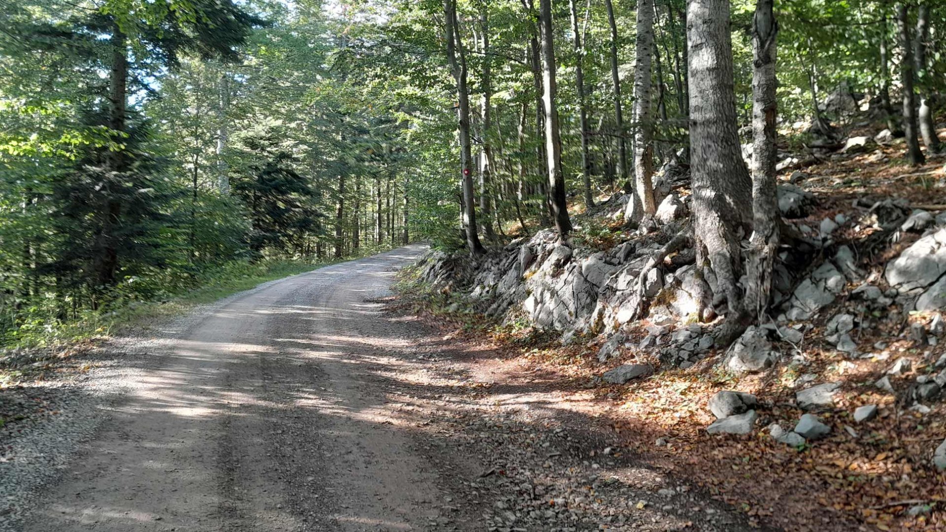
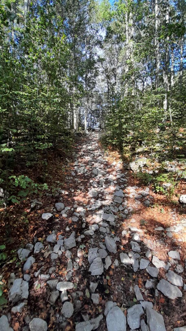
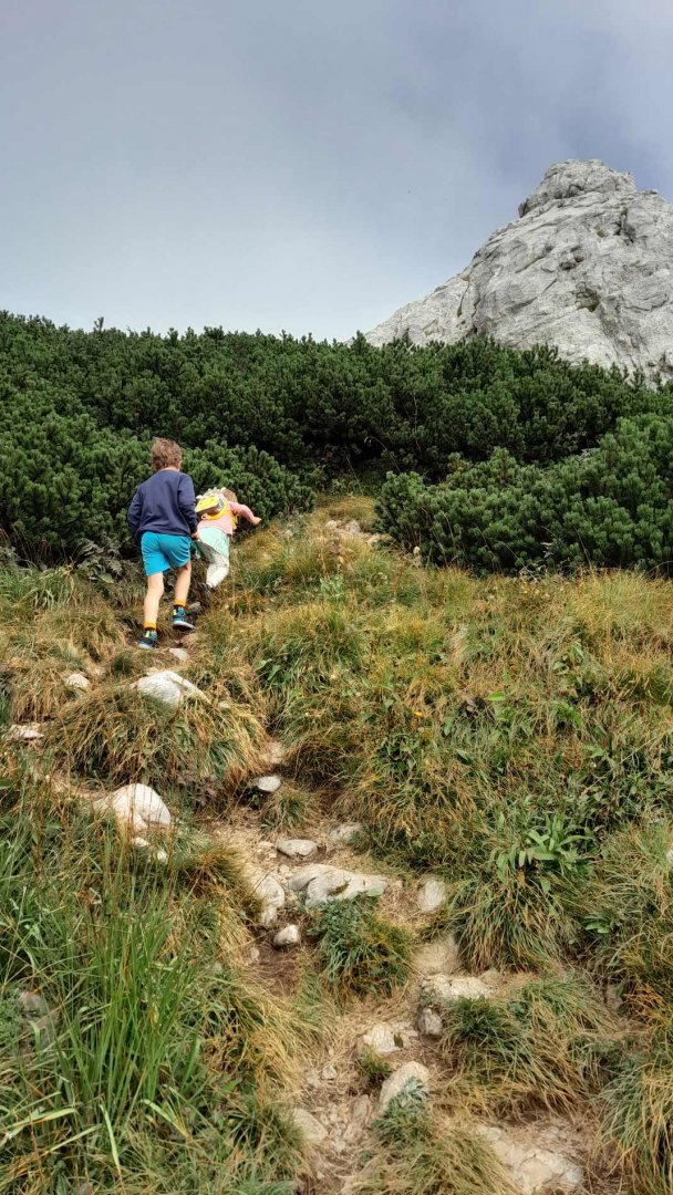
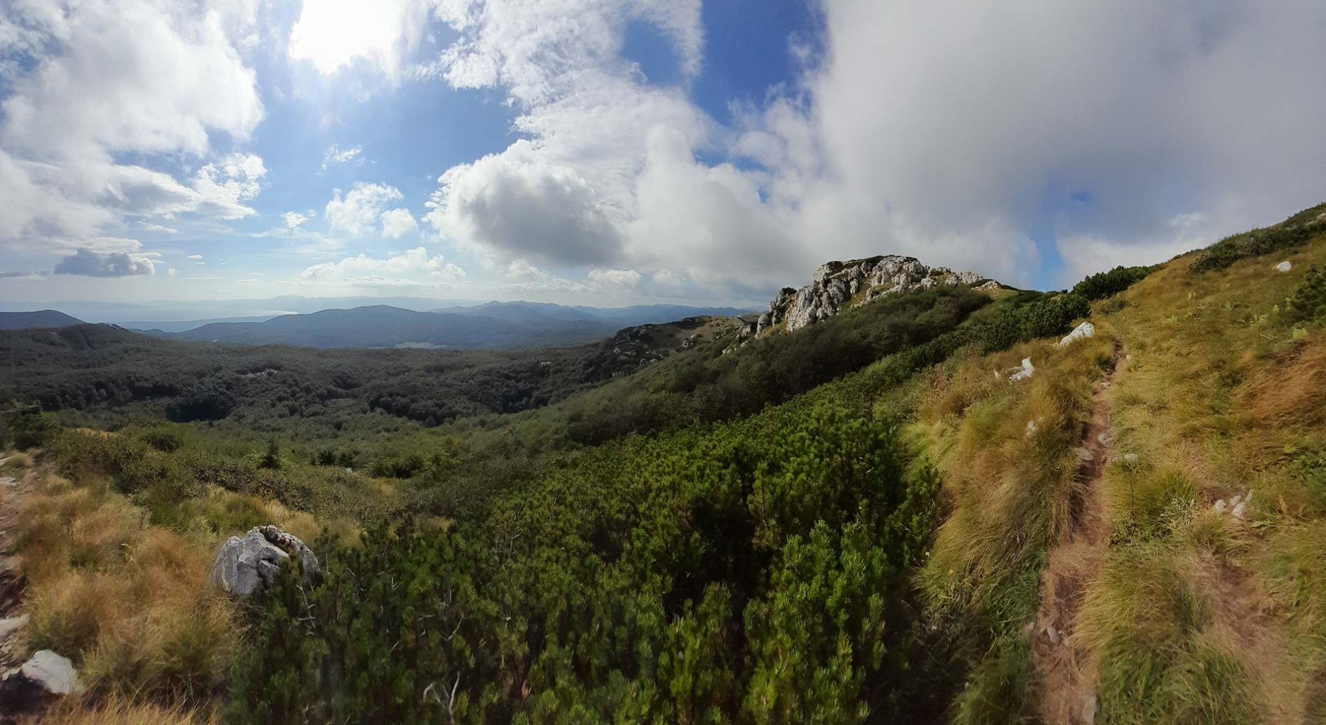
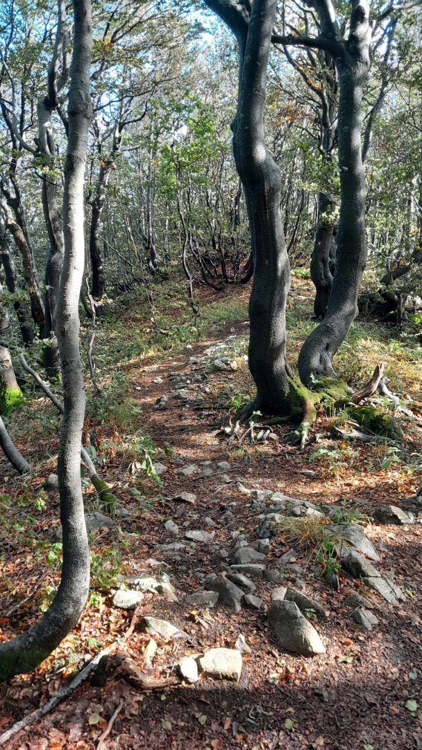
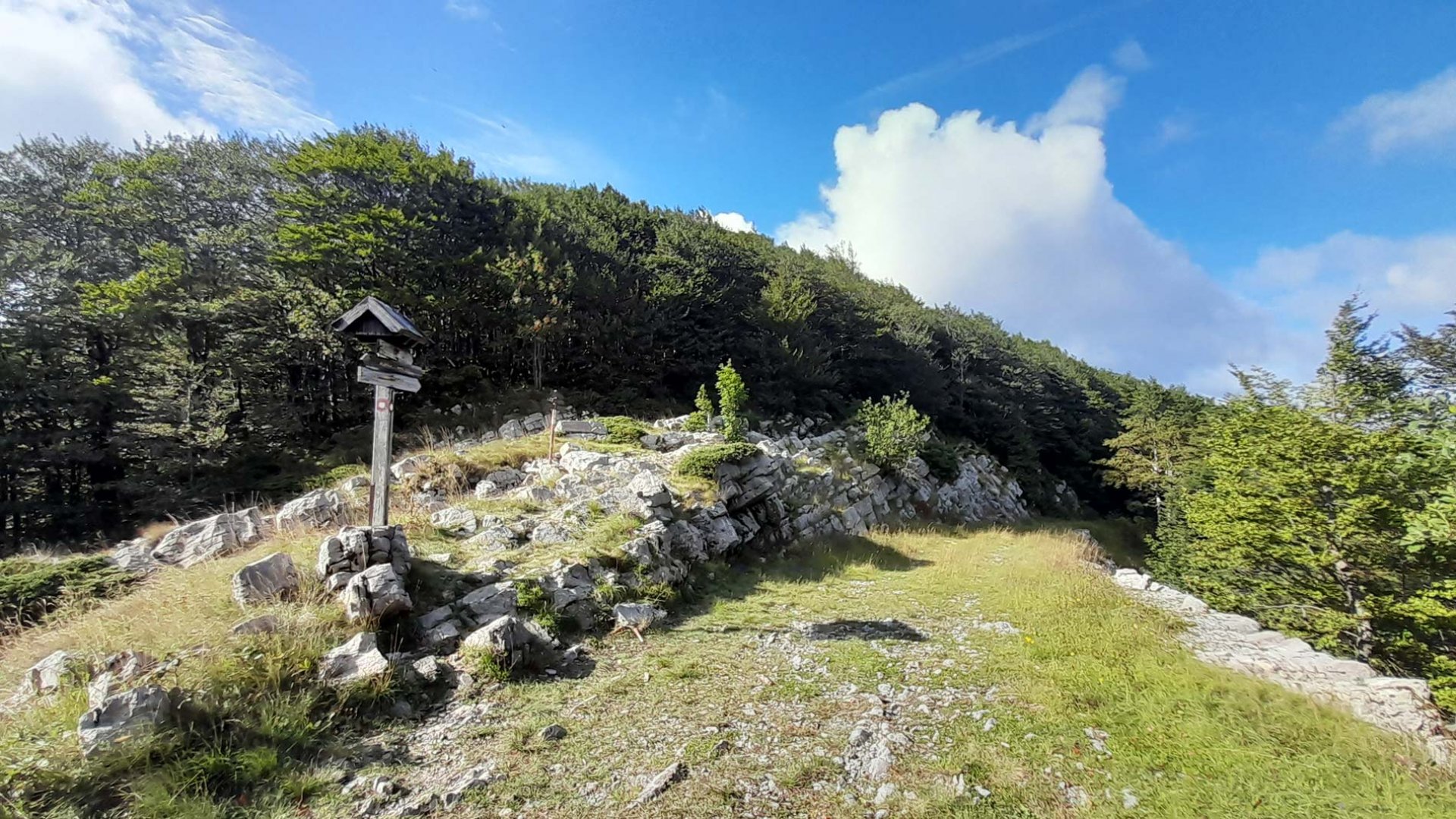
The sign first leads along a wide forest path. It gradually gains height, but there is no steep climb. Occasionally the trail turns onto a forest trail, but overall the forest passage is a relaxing walk. We decided to approach the mountain by following the red trail first. The trail continues on through the forest. Eventually, however, it curved and we began a more significant climb. Suddenly the forest disappeared and we found ourselves in a completely different extreme.
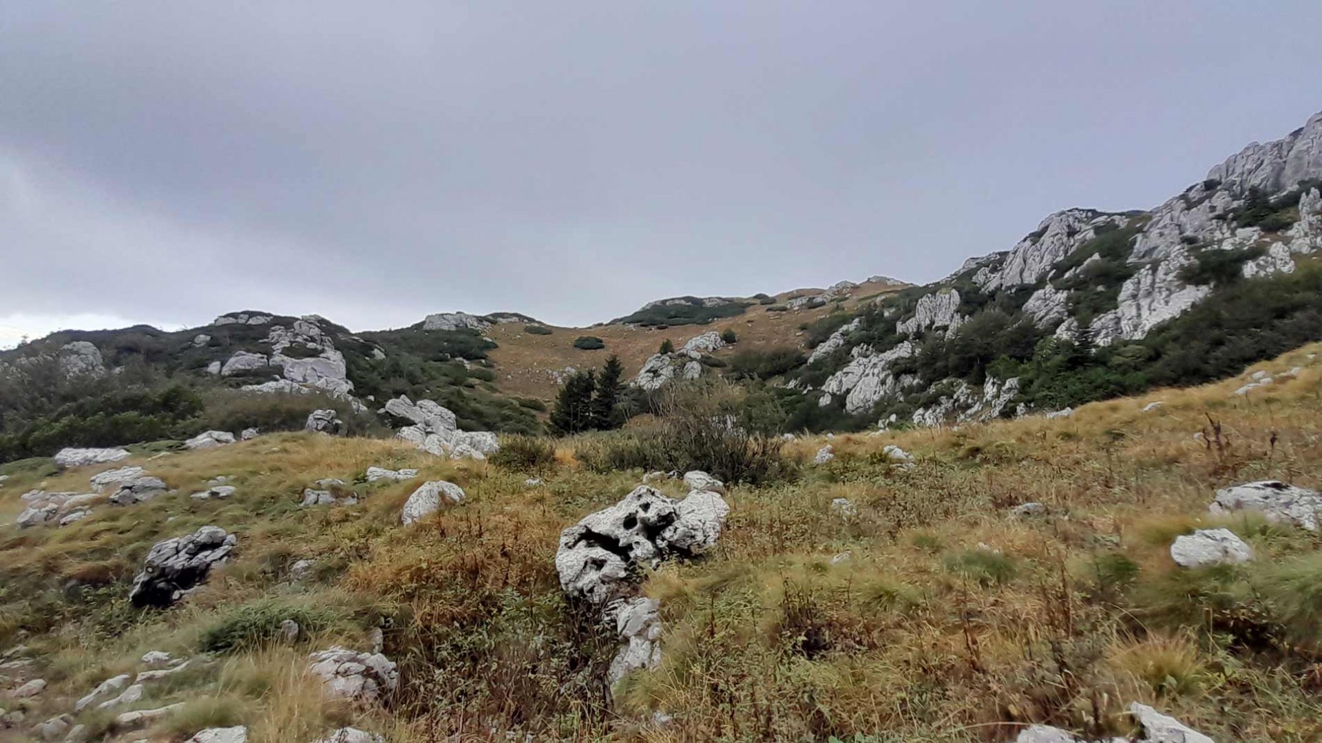
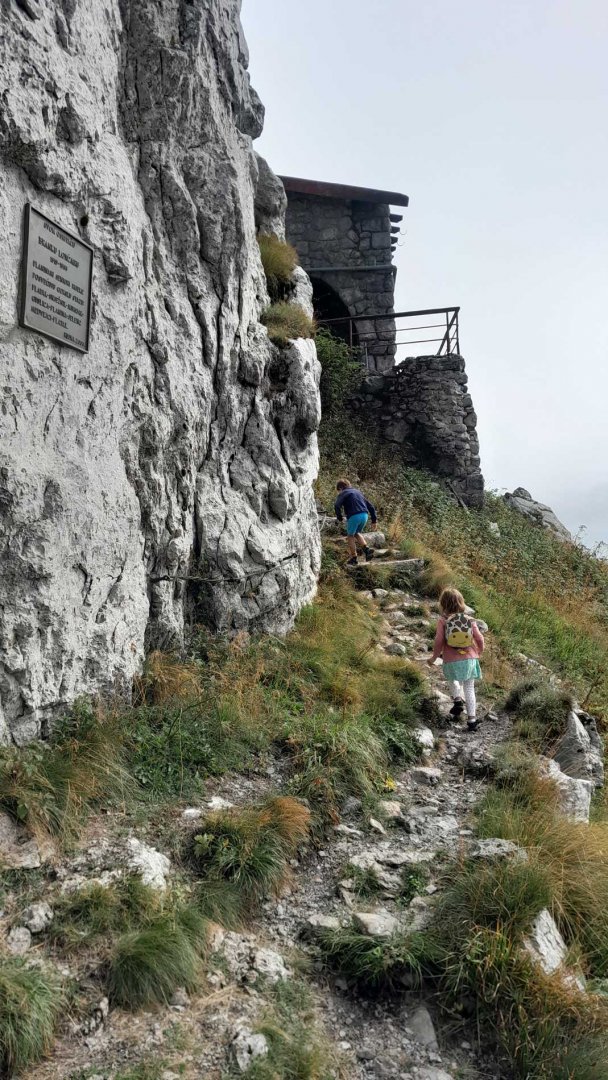
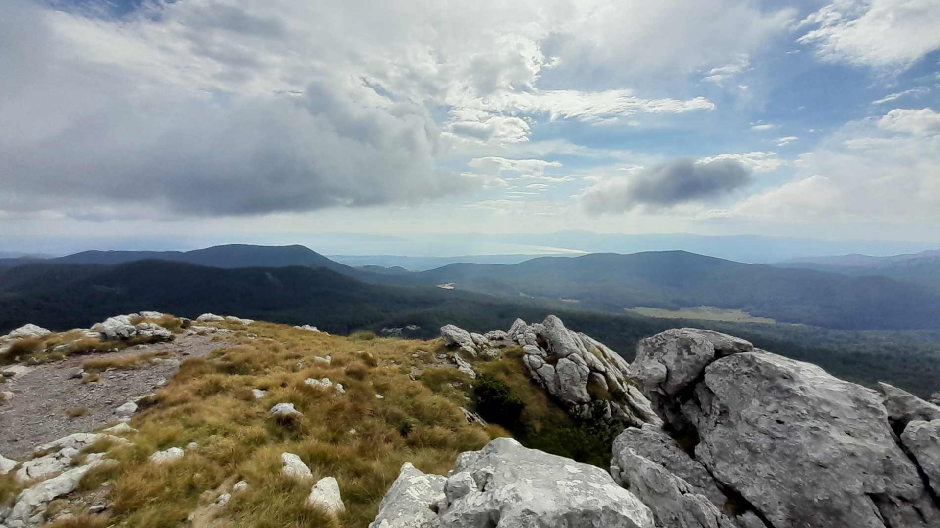
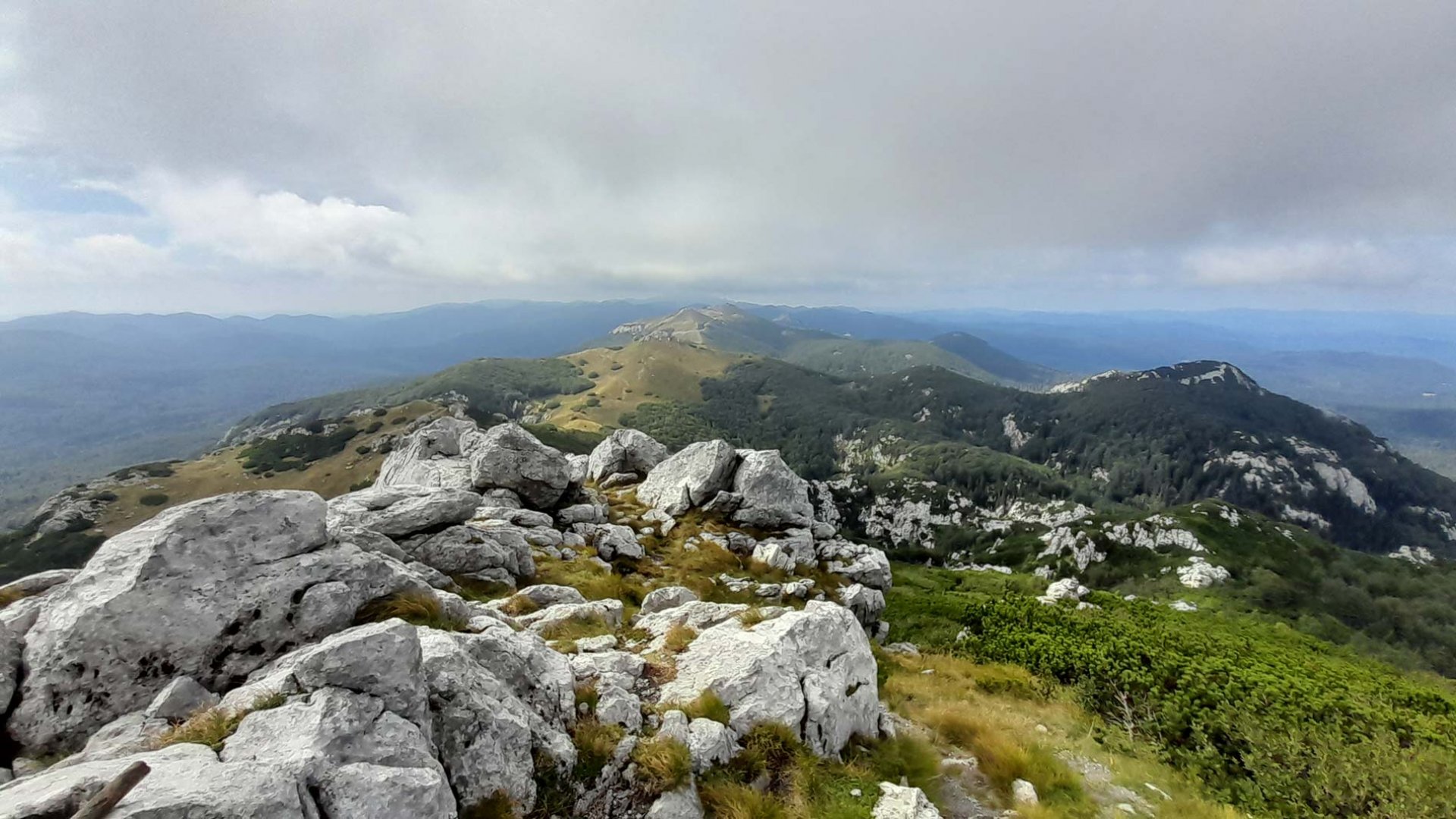
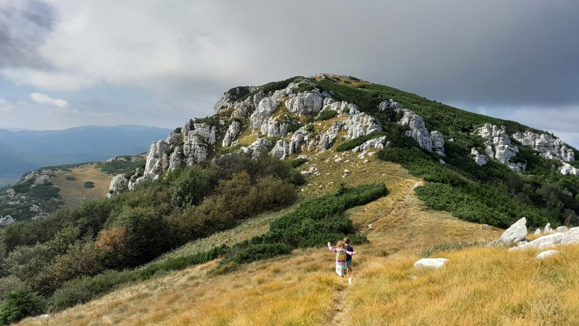
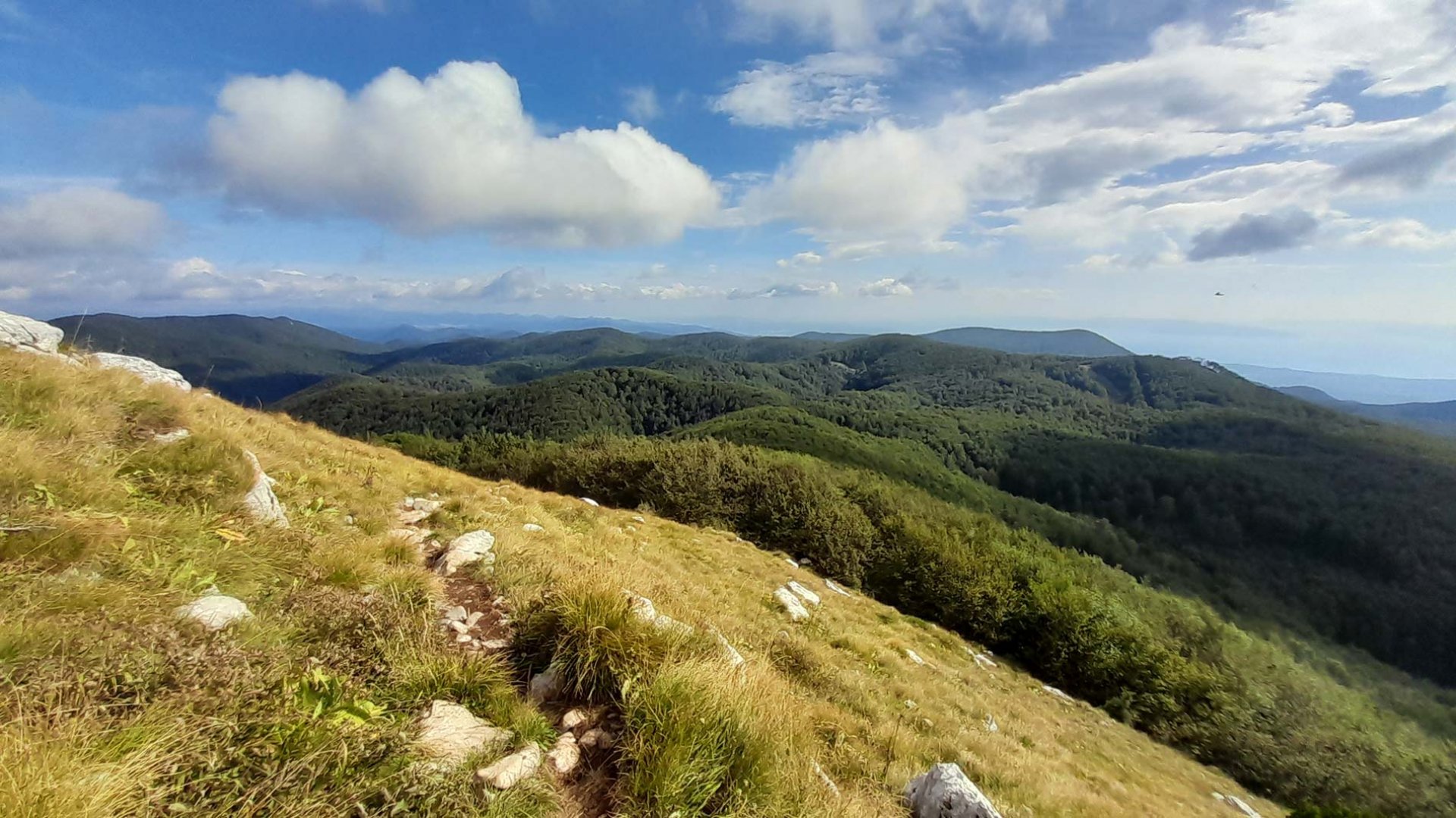
Visibility was not very good, clouds still dominated the mountains. We climbed steeply along the trail between slash and rocks and eventually came to a former cabin just below the summit. It is totally ruined and abandoned and, due to its miserable condition, dangerous. From the hut we quickly ran to the top of Mount Snježnik. And luck was with us. A strong wind finally blew the clouds away and we had beautiful views in all directions.
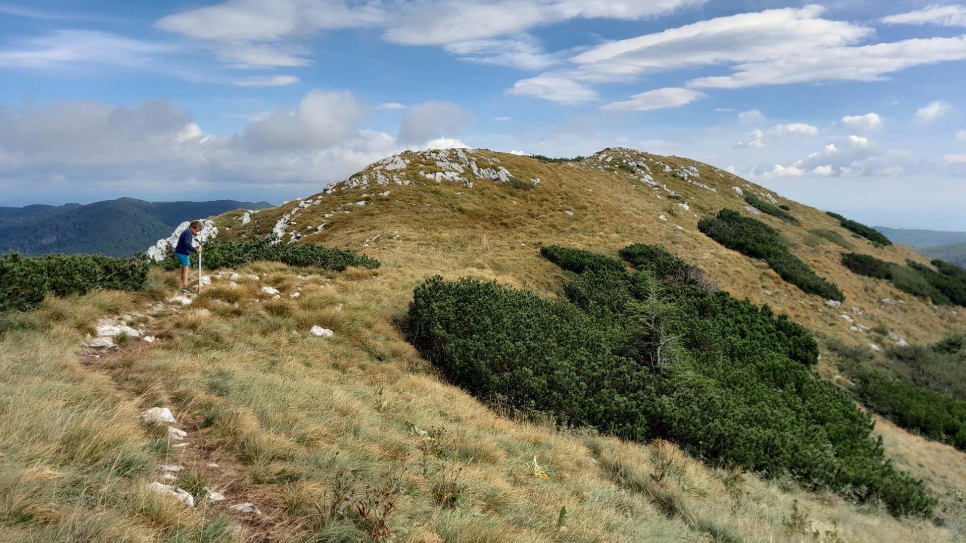
After a while we continued along the ridge. We descended a little lower on the rocks and ran up a grassy ridge that also provided some nice views. We then returned to the trail and began our descent. After entering the forest, the trail continued to drop steeply. Eventually we joined a wide forest road. We followed it back to the parking lot to our car.
Difficulty
An ideal alternative to lounging by the sea. The mountains are not far from the sea. The route is easy, the elevation is not high. All the time you walk on marked paths. The only technically slightly challenging section is the ridge at the top of Snježnik. There are a lot of rocks and I helped the smallest member of our group. Otherwise, the trail is absolutely ideal for children or even for dogs.
Water availability
We didn't come across any springs on the trail. We had our own supplies, ideally 1.5 litres per person.
Mountain peaks
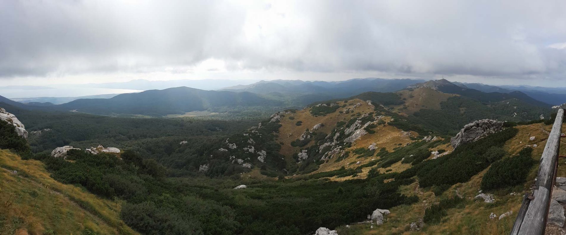
From the top of Mount Snejžnik 1,505 m above sea level, you can see almost the entire Risnjak National Park. To the southeast you can also see the sea coast.
Danger
This is a simple trip. It is mostly on comfortable roads or trails. Only the top of Mount Snejžnik is more rocky and sometimes we helped ourselves with our hands to walk confidently. Care must be taken when exploring the huts below the summit. It's basically a ruin and the terrace of the hut, for example, is caving in, as are the railings.
Food
There are no huts on the trail, they are at the parking lot of the ski area. But we didn't try the local hospitality.
Attractions
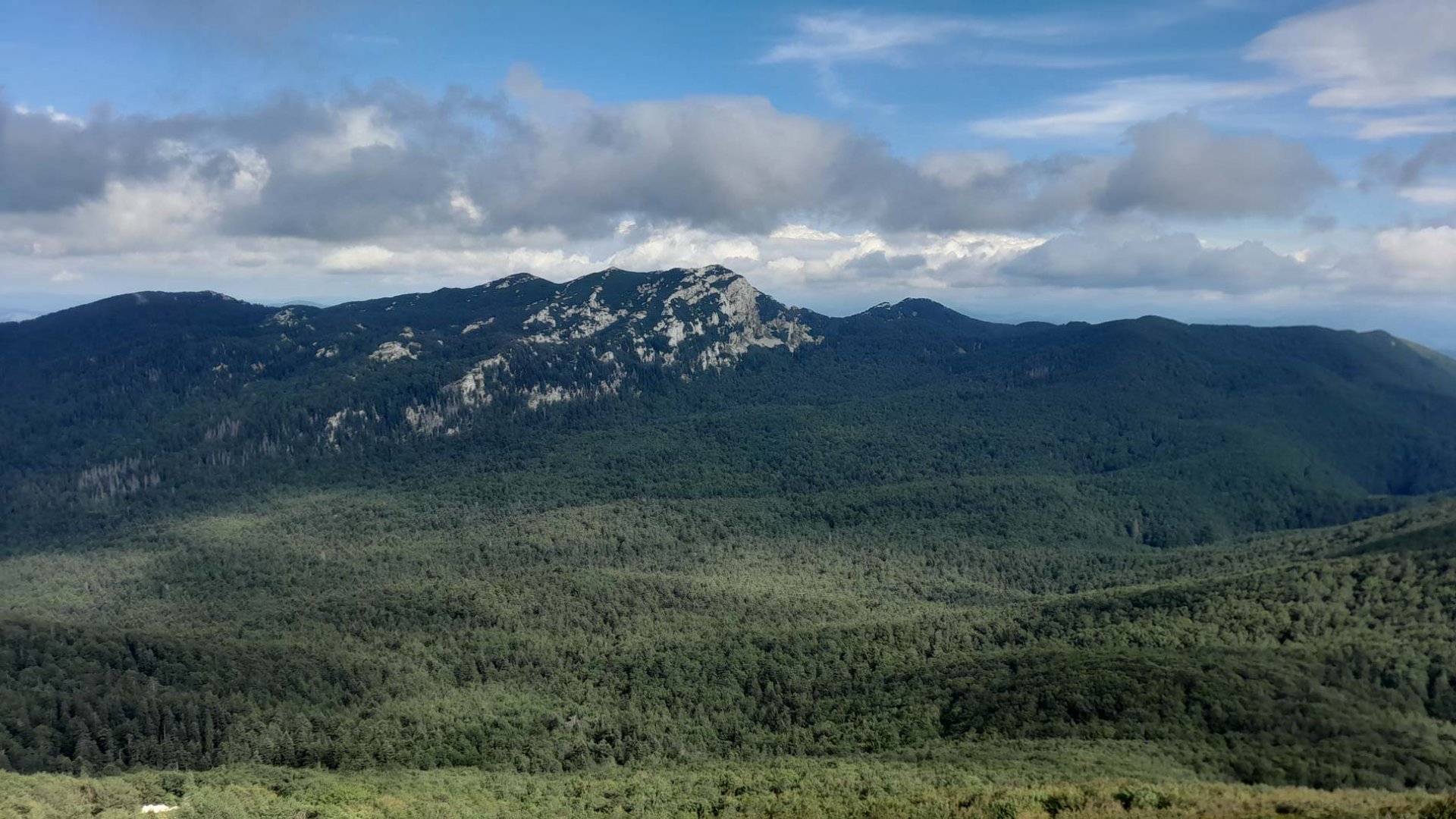
Mount Snježnik is located in N.P. Risnjak. This park was declared in 1953. At present it covers an area of about 63 km². The park is home to bears, wolves, chamois and the lynx that gave the park its name. The highest mountain is Veliki Risnjak, 1 528 m above sea level. The Kupa River rises in the park.
Photos