Mountain range, region / State
/ Austria
Season
Winter
14. 01. 2023
Difficulty
2 / 5
Elevation
↑ 886 m
↓ 885 m
Length
20.1 km
7 hours
Altitude
max. 906 m n.m.
min. 543 m n.m.
Tips for hikes in the mountain range
Trip into the history of Linz - the forgotten towers
Trek over 4 mountains near Freistadt in Upper Austria
Starting point
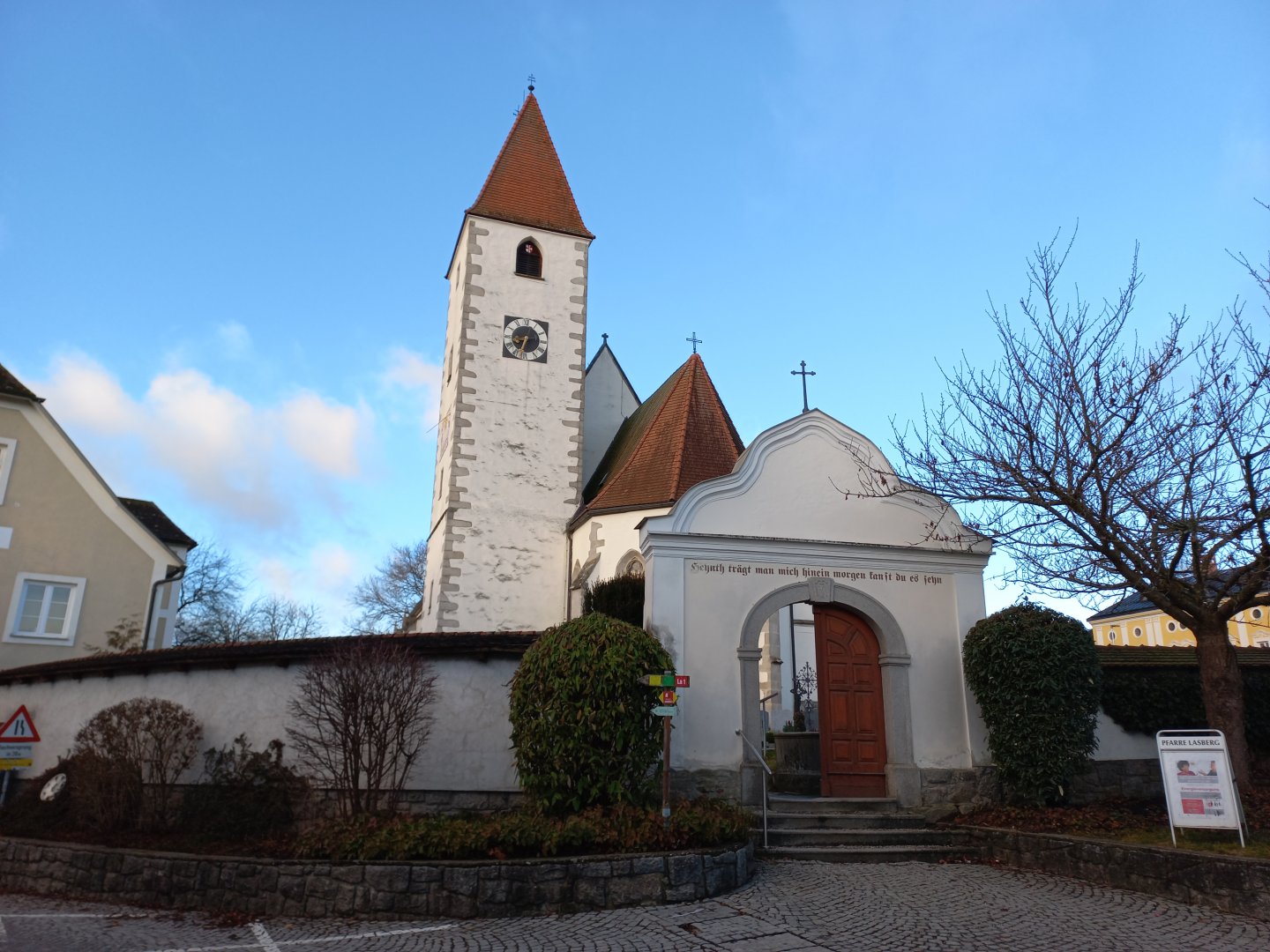
Lasberg about 7 km from Freistadt, parking on the church square (free).
Description of the hike
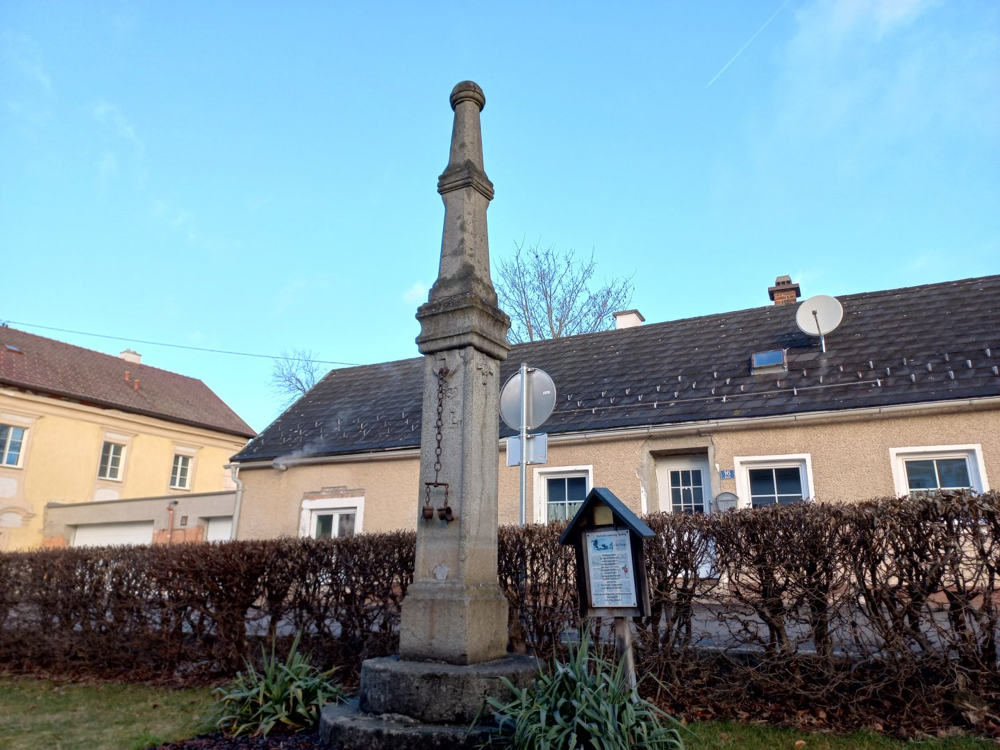
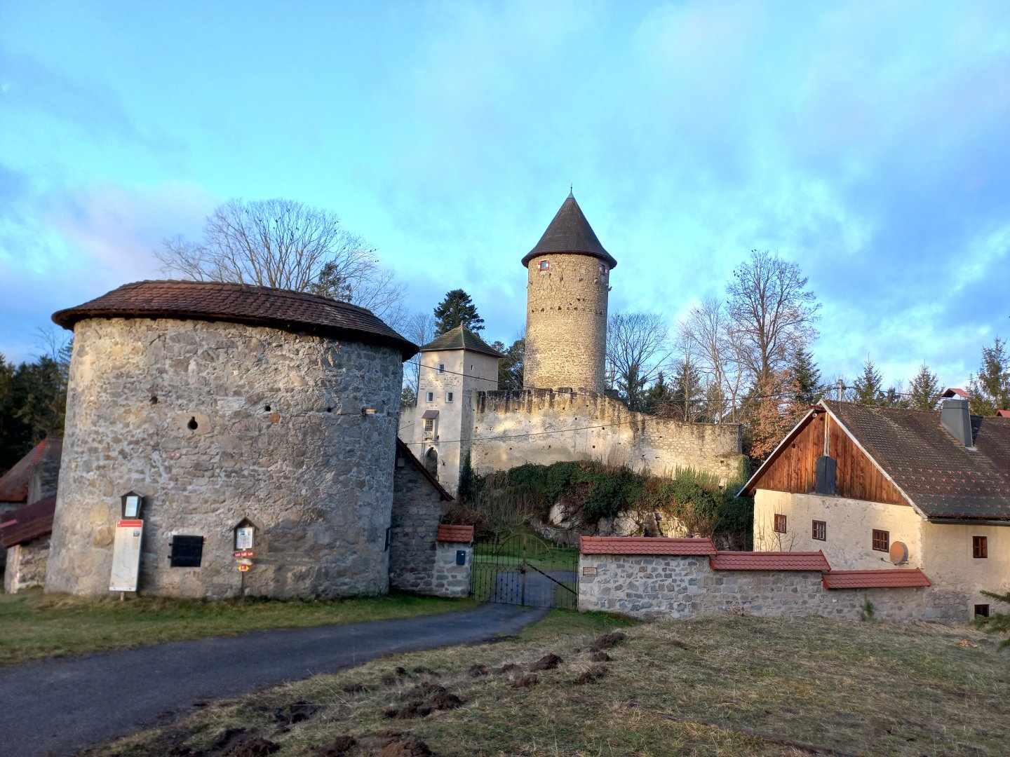
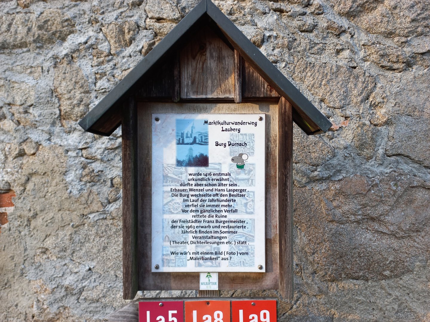
I park my car right on the square in Lasberg. The white Romanesque-Gothic parish church shines in the morning sun. I head towards Ruine Dornach and behind the church I come across another interesting sight - the town pillory with its rusty handcuffs. After about 20 minutes on the tarmac I am at Dornach Castle. The educational board says that the first signs of the castle date from 1416, but the castle was probably built even earlier.
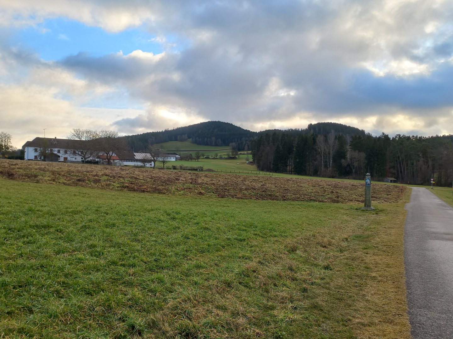
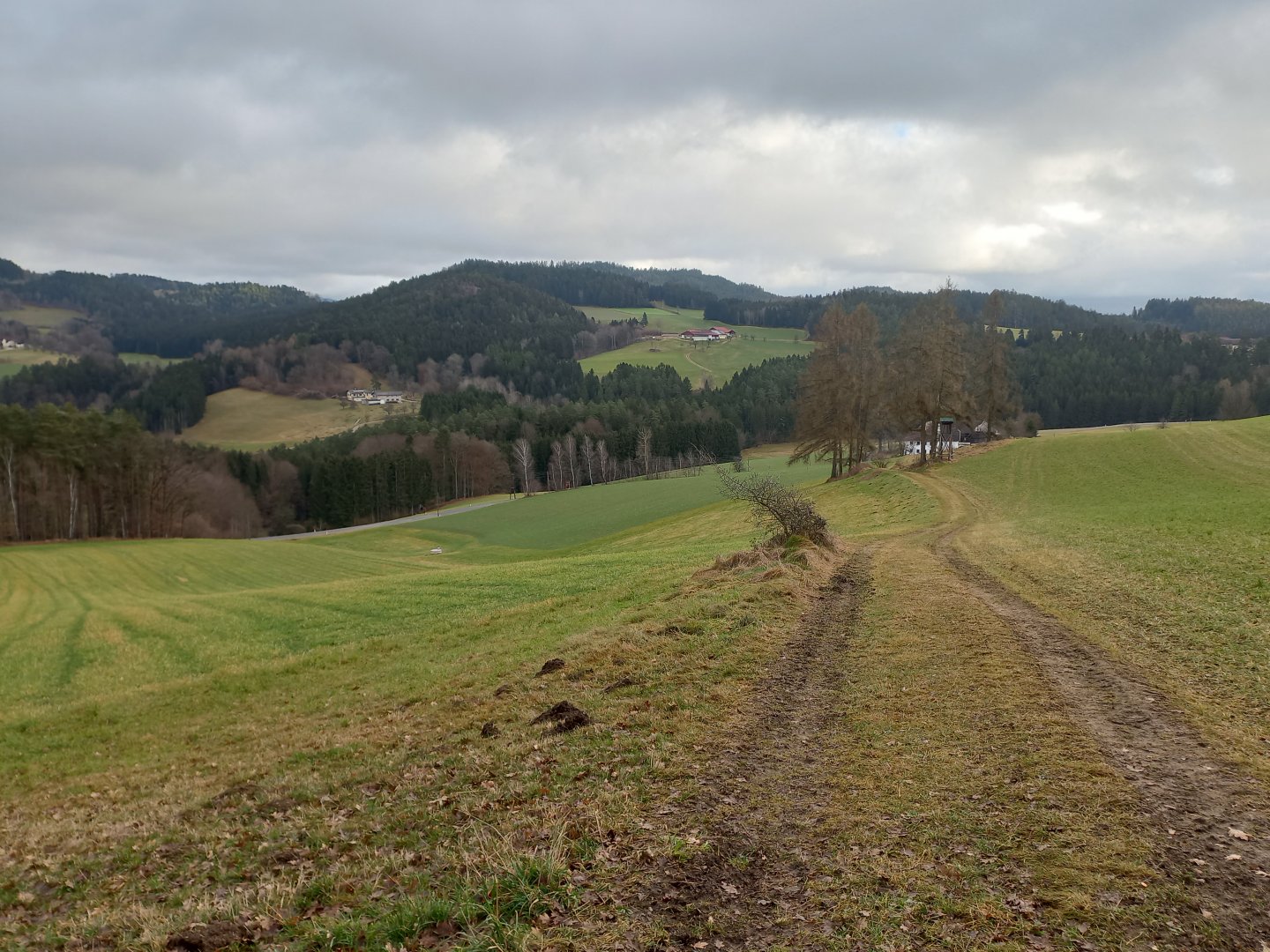
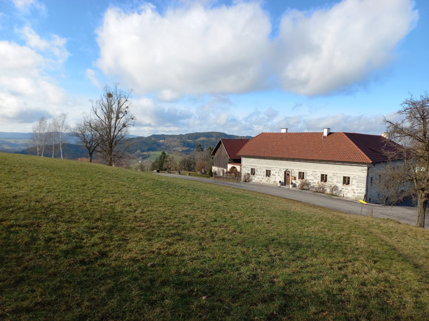
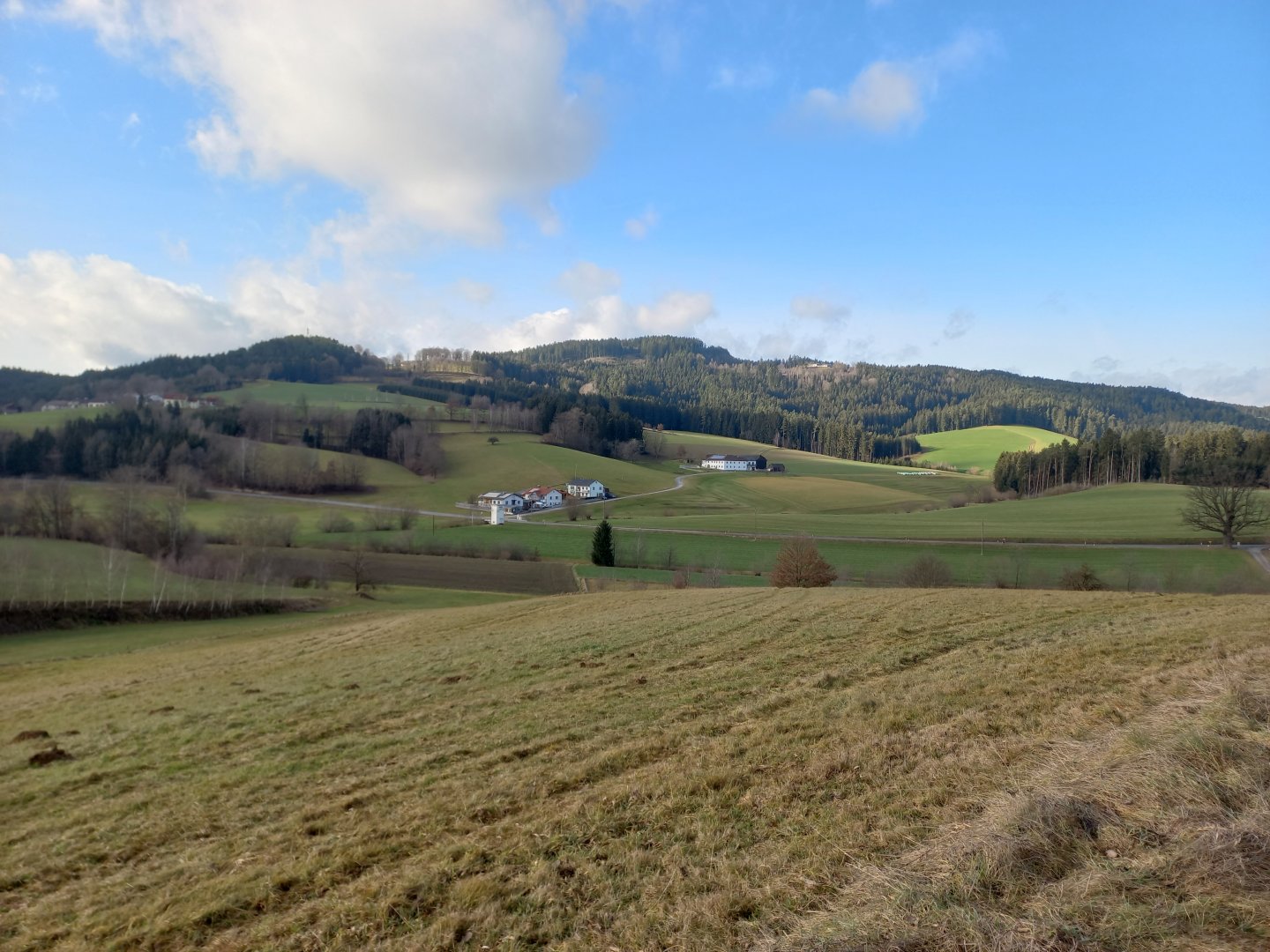
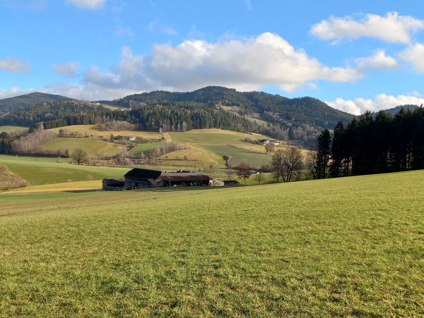
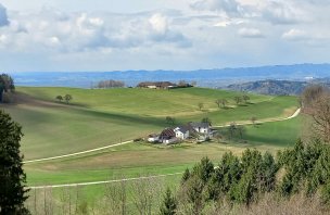
It changed hands over the ages and gradually fell into disrepair before the current owner bought the ruin and restored it to its present form. From the castle I cut my way a little shorter and head for the first hill, Buchberg (813 m). The road slowly climbs past farmhouses, some still built in the typical Upper Austrian "Steinbloß" style, with exposed stones left on the facade. The houses here used to be built of the ubiquitous granite, but lime for mortar and plaster was expensive, so the stones were left exposed and only the joints between them were white.
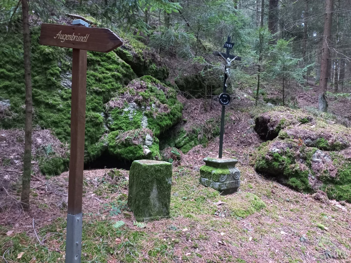
After a while, the turn off turns me onto a forest road and a steeper climb to Buchberg begins. At the signposts, the hiker can breathe easy and read excerpts from books describing the area - an old story about a merchant who was robbed and killed by robbers while returning from the market, a legend about a wild hunter who haunted the locals, or a story about the healing springs.
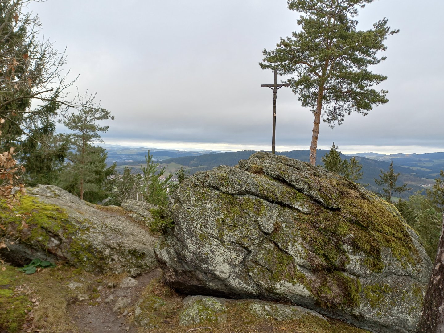
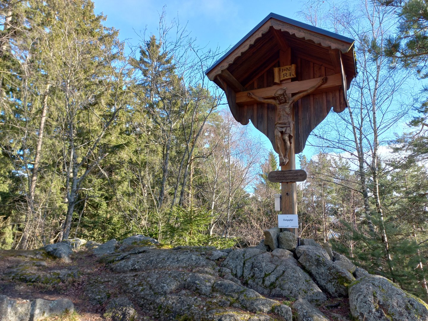
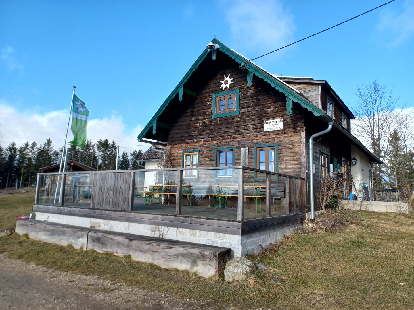
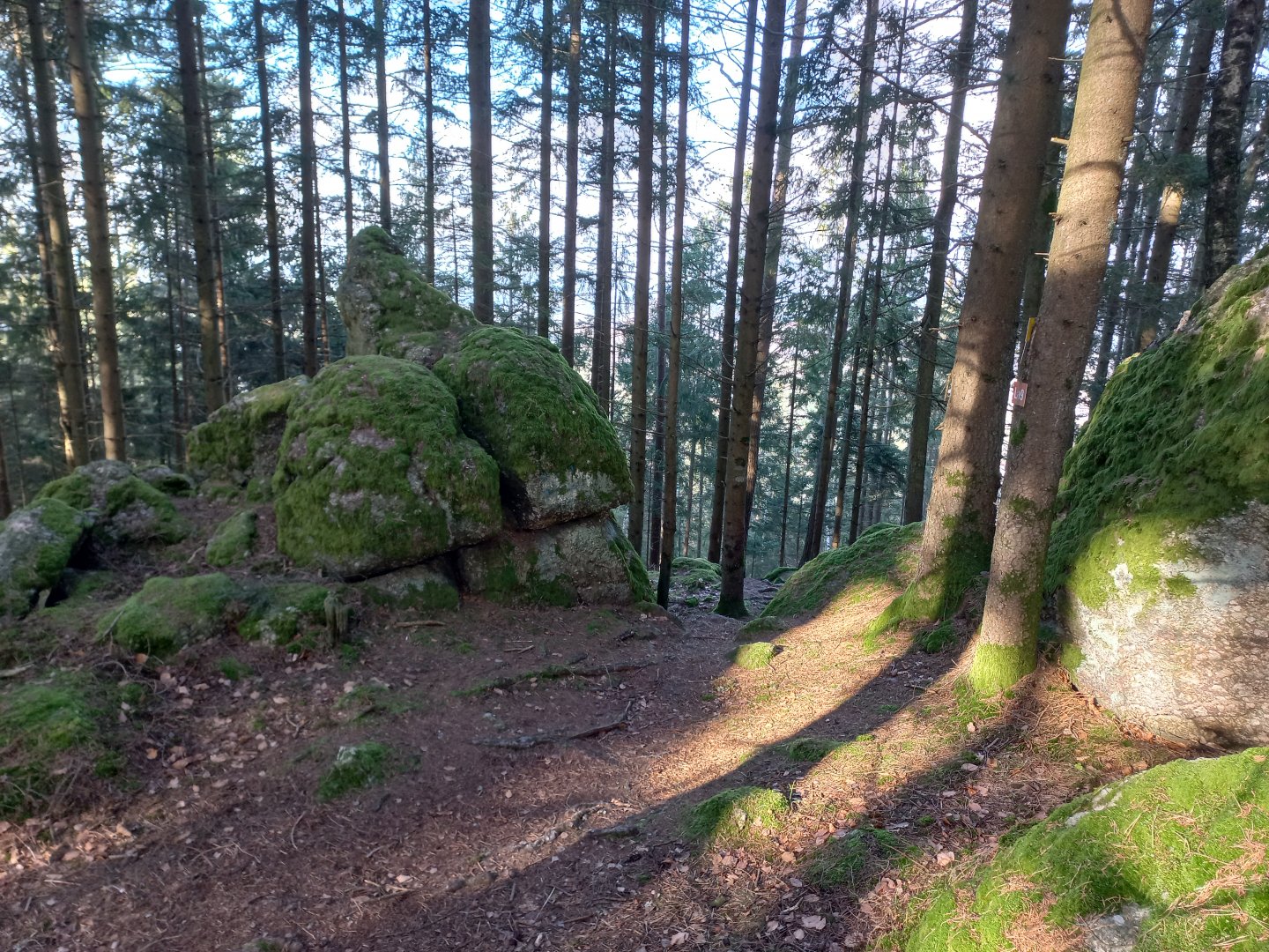
One of them is supposed to spring up near the road - Augenbründl, but unfortunately it is now completely dry. Just below the top of Buchberg is an interesting rock with a bowl-shaped depression - probably Schalenstein or Opferstein - a Celtic sacrificial site. I can already see the wooden lookout tower on Buchberg through the trees. The lookout tower is about 10m high, freely accessible and next to it is an interesting shell-shaped shelter, a refreshment stand and a spiritual garden with a mandala. From the lookout tower you have a nice view - from Bohemia to the Alps. But the weather is getting a bit spoiled, so I can only make out the matt massif of the Traunstein from the Alps and the white faces of the Dachstein behind it.
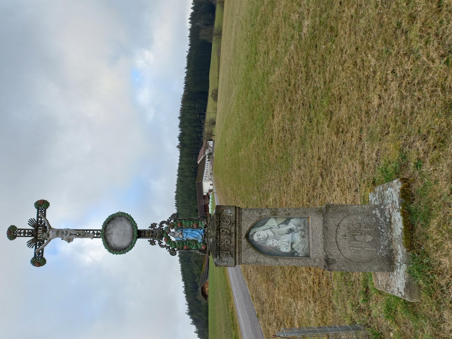
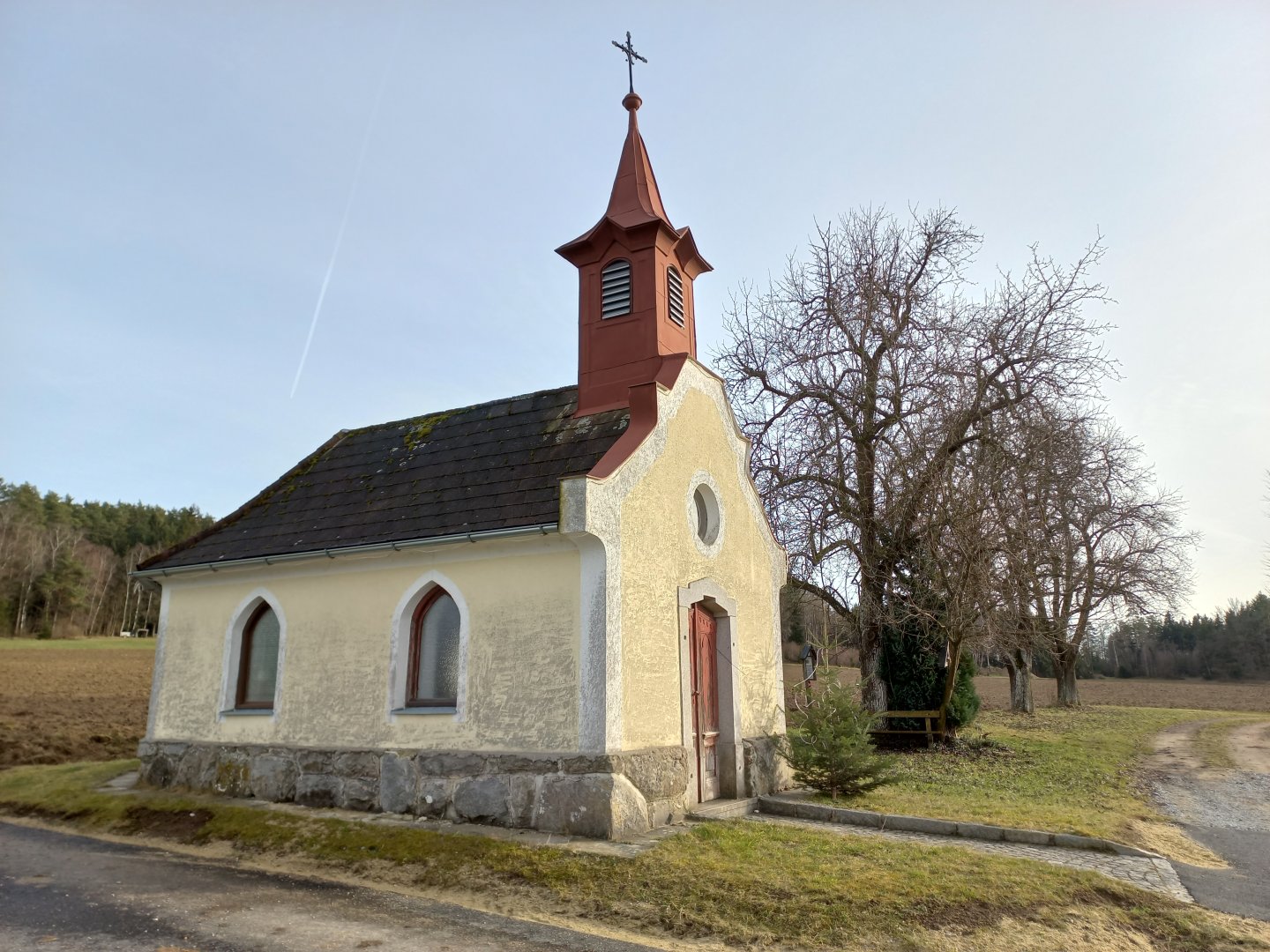
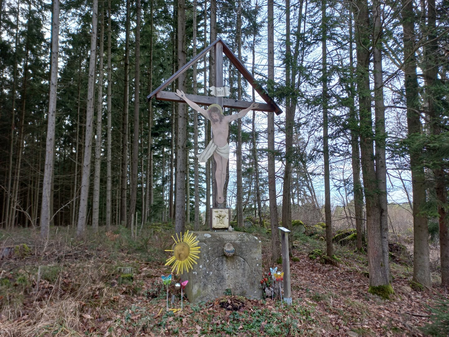
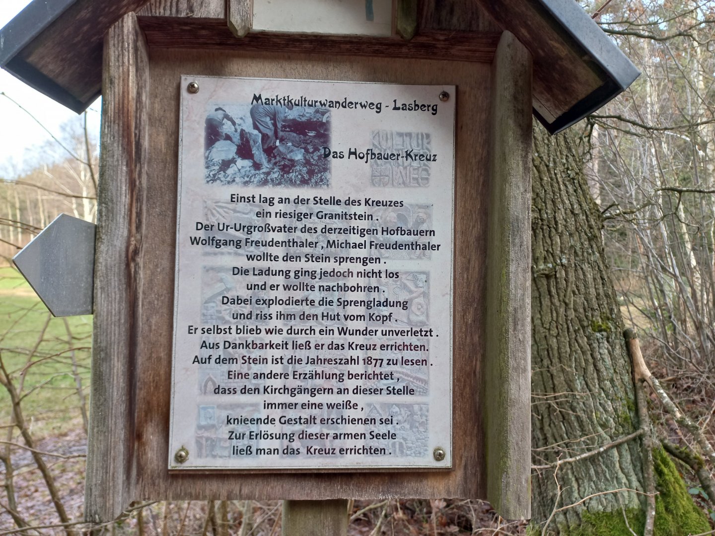
After resting for a while, I descend downhill, only to be driven up the last hill Haugenödtberg (799 m) again. I climb up to the Heidenstein rock, which disappoints me a little. The chapel of the Hofbauernkapelle puts me in a good mood. The chapel was built in 1923 by a farmer from the neighbouring farm as a thank you for his happy return home from the First World War. From the chapel, the Kinderkreuzweg, which was decorated by the children of Lasberg in 1998, leads back to Lasberg.
When I emerge from the forest above Lasberg, I am in for a pleasant surprise - an hour before sunset, the Alps have finally appeared. To the west, the sky above Traunstein is already starting to turn pink, the north face of the Dachstein glows white with snow, further east the Totes Gebirge, the Grosser Pyhrgas peak, the Haller Mauern, the flat Admonter Reichenstein, the Gesäuse and the Ybstals. The perfect reward for the miles and four times sweaty T-shirt.
Difficulty
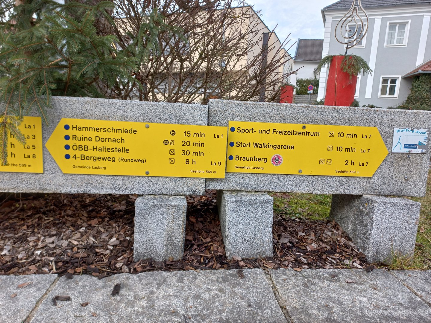
The 4-Bergeweg - the way over the four mountains - is a nice, scenic route near the Czech border, close to the Upper Austrian town of Freistadt. The whole route is moderately demanding in terms of distance and elevation - it is 24 km long, with an elevation gain of around 1000 m and, according to the signpost, you will need around 8 hours to complete it. However, it is possible to shorten the trip at several points and return to Lasberg along the marked trail. The route is rich in views of the Mühlviertel region and, if the weather cooperates, the panorama of the Alps.
Water availability
Refreshments are available at the huts on Buchberg and Braunberg, but they are closed in the low season. There is a shop and restaurant in Lasberg.
Sleeping options
One day trek, I didn't look for accommodation, not far from the Czech Republic.
Mountain peaks
Ascent of 4 hills - Buchberg, Sattlerberg, Braunberg, Haugenödtberg. Views and "fernblicks" into the Upper Austrian landscape. In good weather, the Alps, for example Dachstein, can be seen on the horizon.
Danger
The route is not dangerous, but it is over 20 km long and it is moderately demanding in terms of elevation, it requires a bit of fitness. It is on marked forest trails or wide roads.
Food
Shop and restaurant in Lasberg, refreshments on Buchberg and Braunberg (closed in January).