Mountain range, region / State
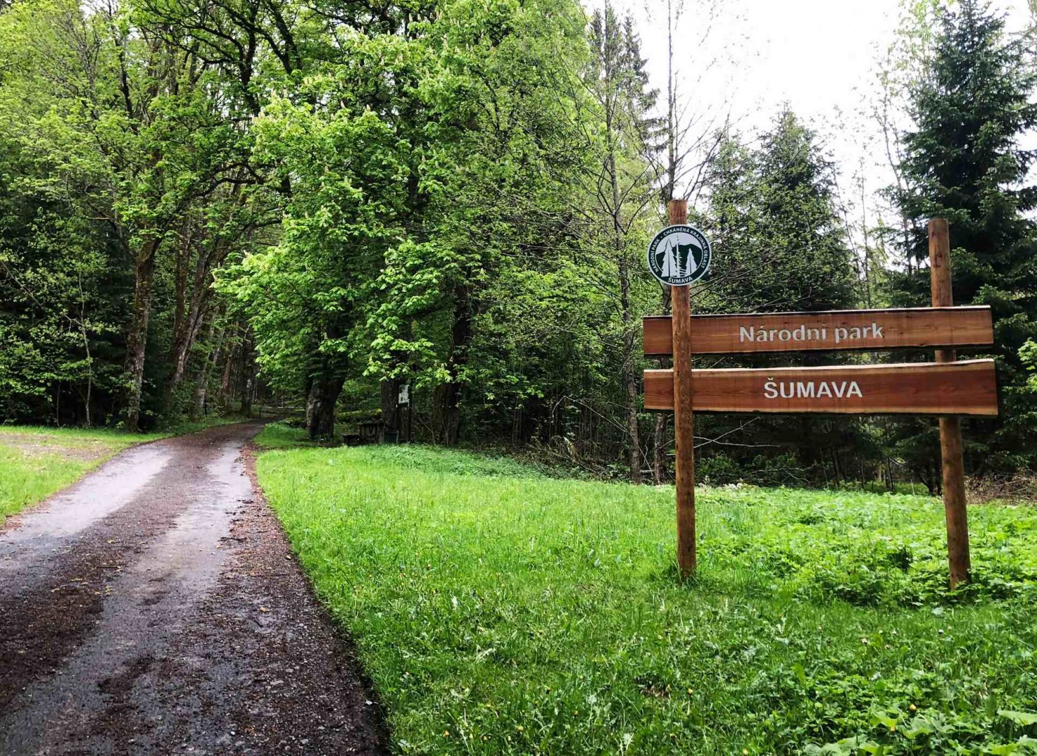
Šumava / Czech Republic
Season
Spring
08. 05. - 12. 05. 2024
Difficulty
3 / 5
Elevation
↑ 2857 m
↓ 2918 m
Length
103.8 km
5 days
Altitude
max. 1375 m n.m.
min. 729 m n.m.
Tourist map of the Šumava Mountains in the Czech Republic
Tips for hikes in the mountain range Šumava
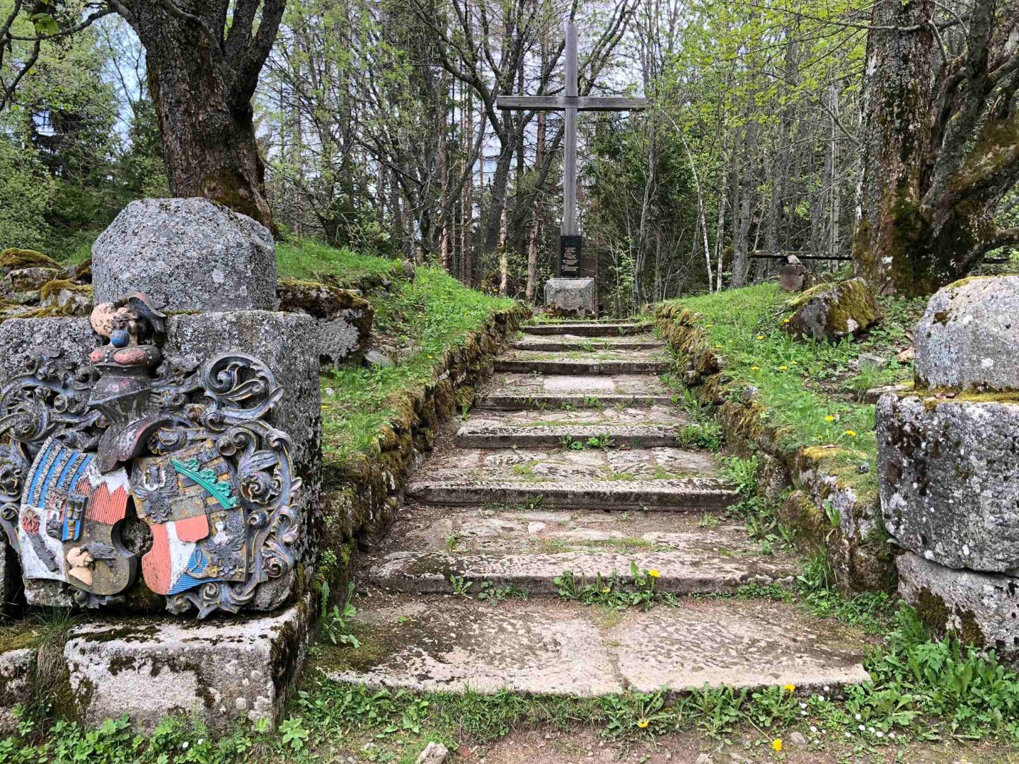
A short hike with children to the Žižkov Memorial at Trocnov
Winter trip from Modrava to Březník
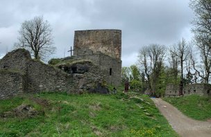
A short trip to the ruins of Vítkův kámen in Šumava
Trek across the whole Šumava from the north to the south from Železná Ruda
Starting point
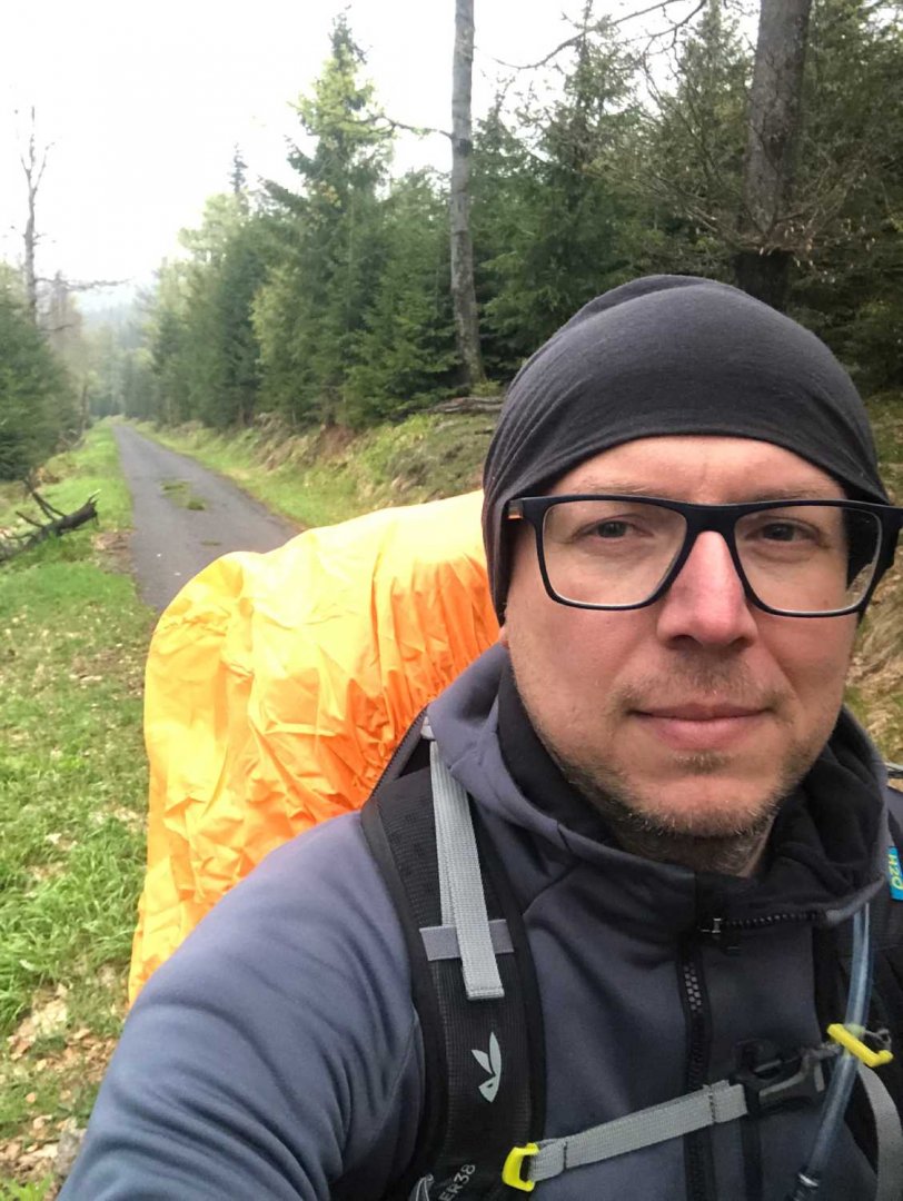
I started the crossing in Železná Ruda, which I reached after 7 hours from Brno. The bus from Sušice ends in Železná Ruda on its northern edge and therefore I have to cross the whole town towards them to Debrnická Street, where the nature trail starts, which I follow out of the town.
Description of the hike
1. day
Date of day (Wednesday 8.5.2024), Železná Ruda - Hůrka: 12 km, 565 m elevation gain
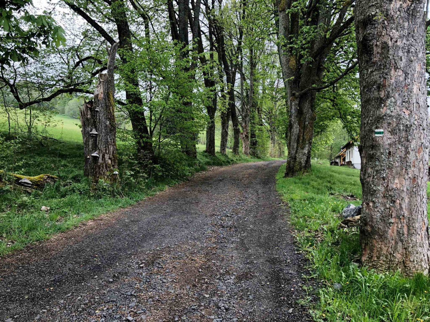
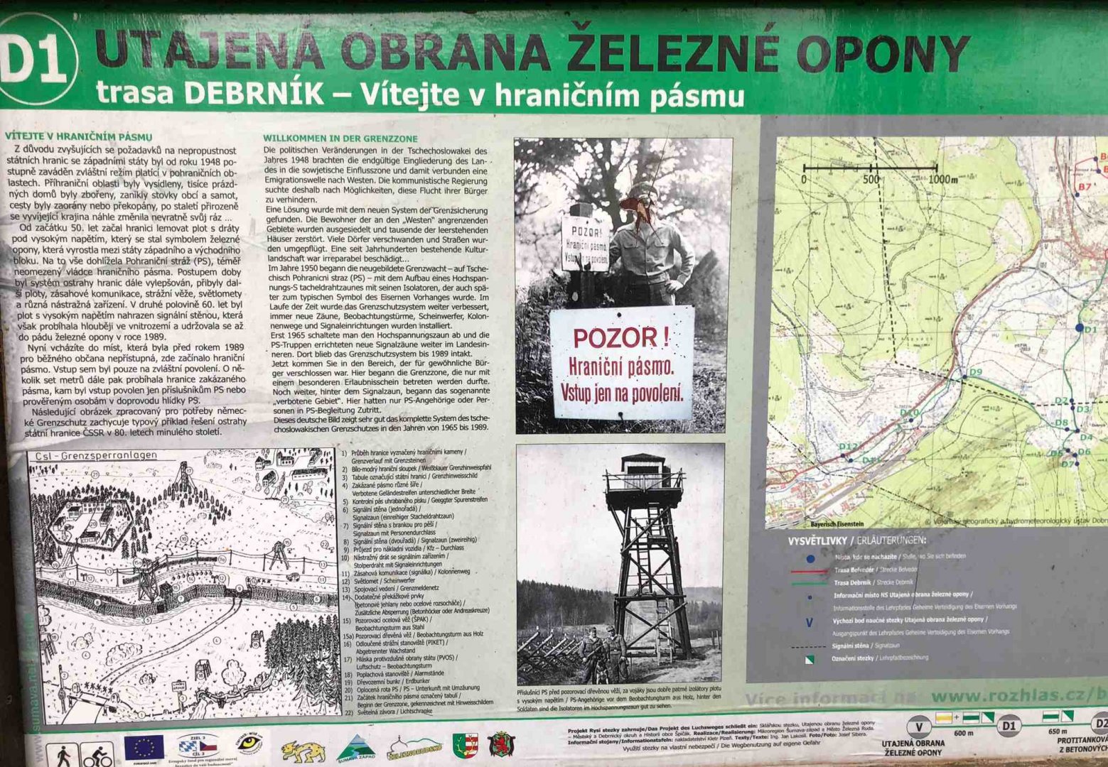
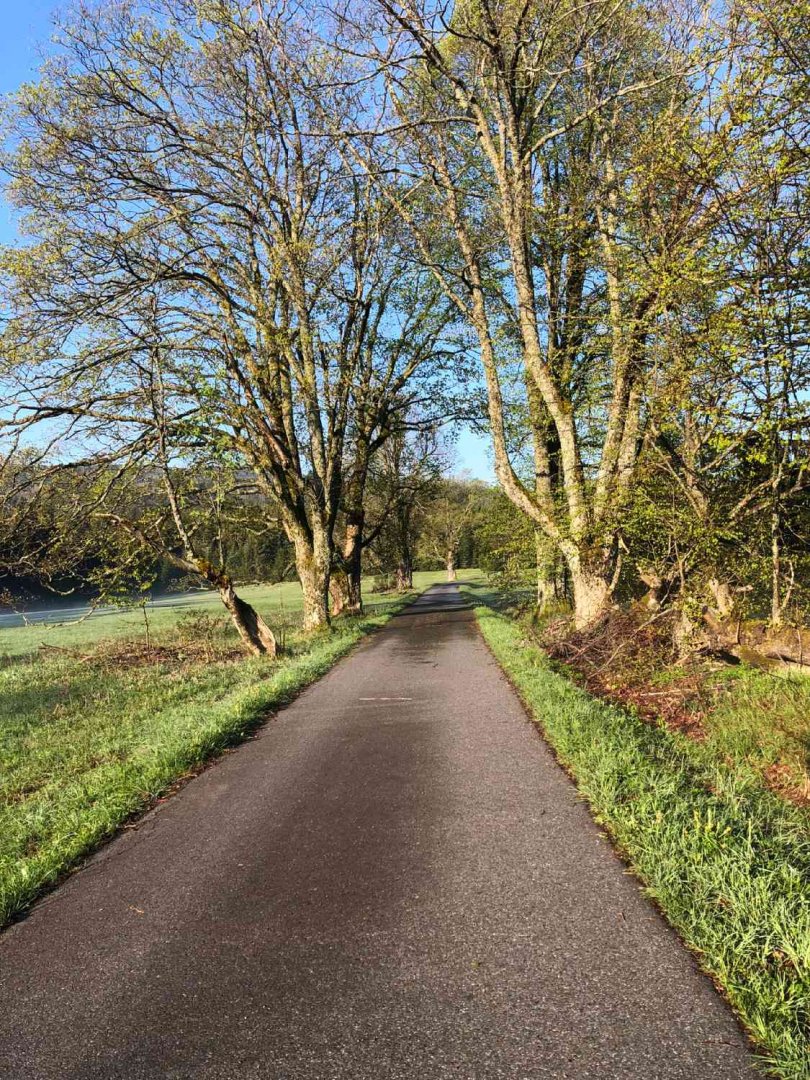
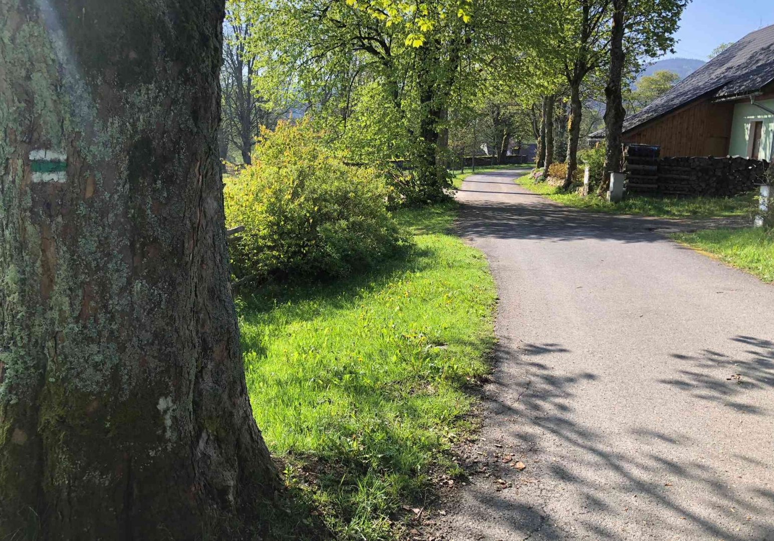
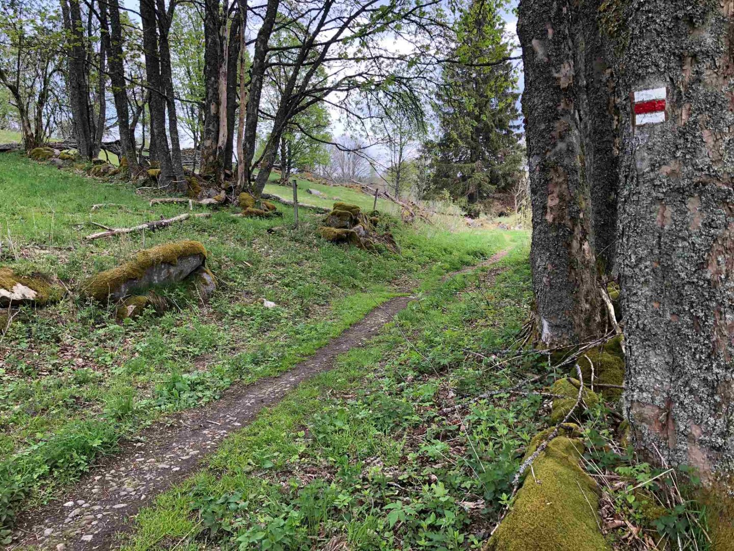
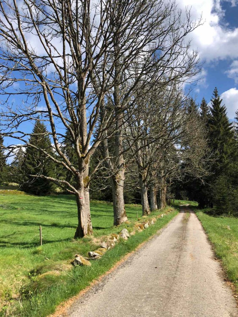
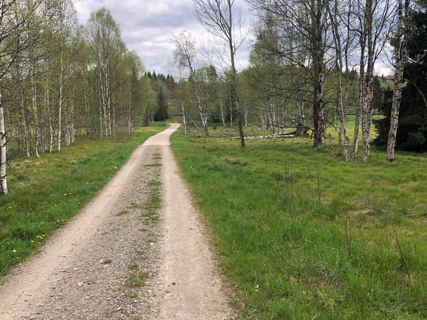
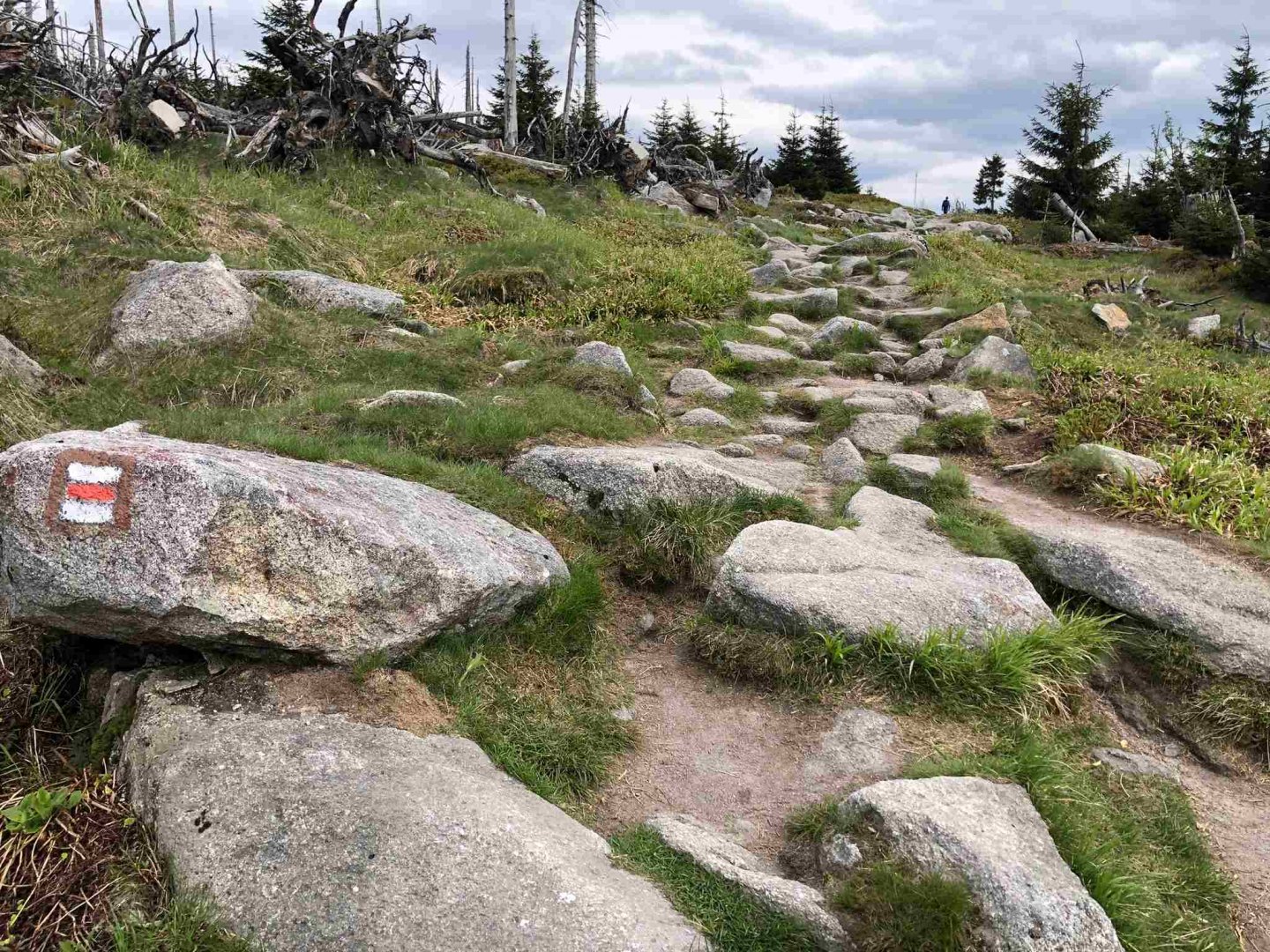
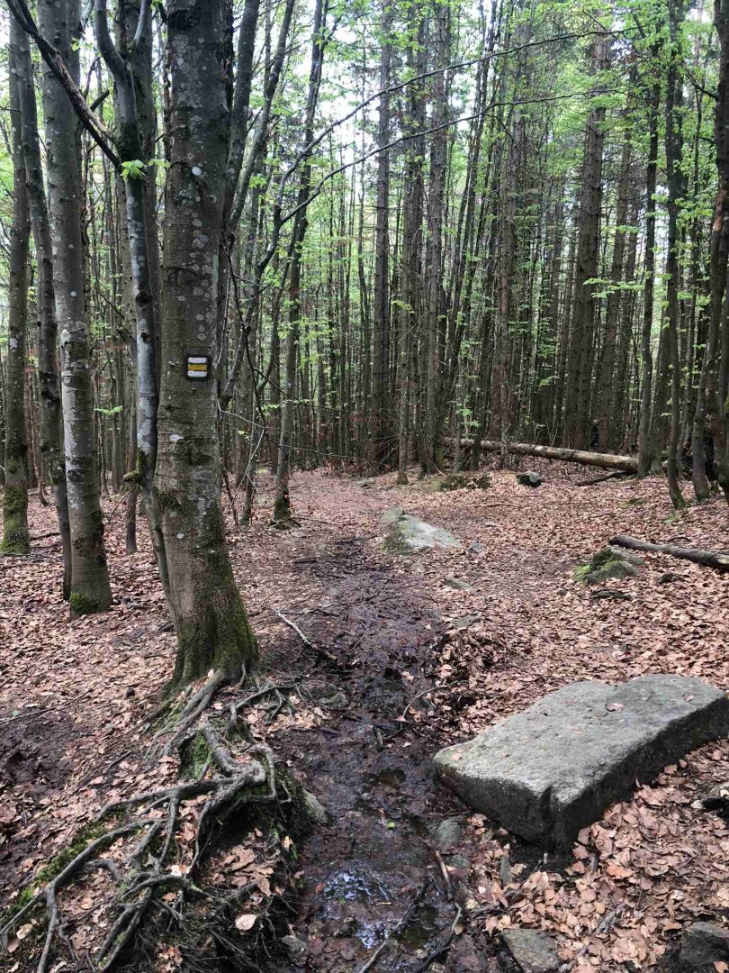
I start from Železná Ruda on the green nature trail "The Secret Defence of the Iron Curtain" and follow it to the Debrník crossroads, where I join the red tourist trail "Trail through the Czech Republic - Via Czechia - South". A little past the crossroads there is a resting place with a bench, where I have a light dinner (tuna salad and baguette) at about 17.30. It starts to lightly drizzle, I don't take out my waterproof jacket yet, I'm only wearing two layers (Merino shirt and softshell sweatshirt), but I'd rather milk it quickly and keep going uphill slightly on the red trail.
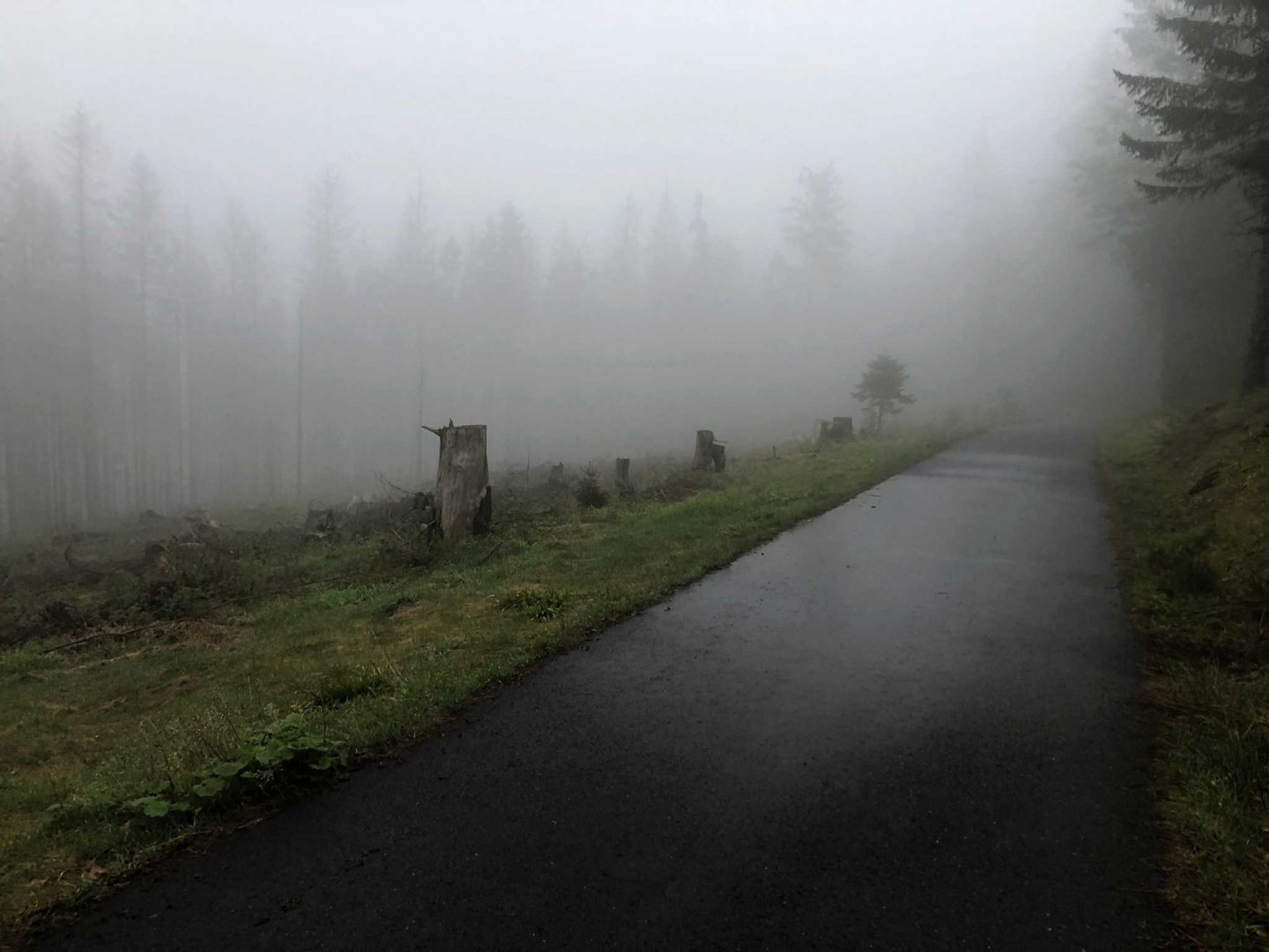
It is a wide forest road at the beginning, which gradually turns into a tarmac road over time. Due to the high abundance of grouse, part of this path follows the "Grouse" nature trail. I follow the red trail to the "Water Canal" crossroads and join the yellow trail towards Hůrka, it is no longer drizzling but it has started to rain more.
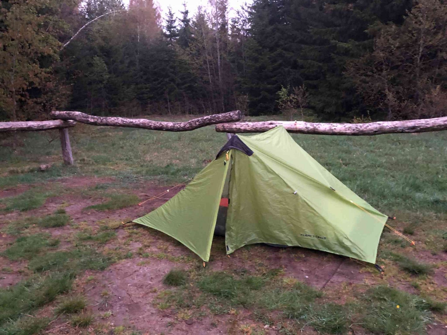
After about 20 minutes, I reach the Hůrka emergency shelter at dusk, where two tents are already there. I set up my tent and go to sleep early. Fortunately, the raincoat on my Zajo cross-body works reliably and my sleeping bag and clothes are not wet, so I'm pretty dry.
2. day
Date of day (Thursday 8.5.2024), Hůrka - Modrava: 32 km, elevation 785 m
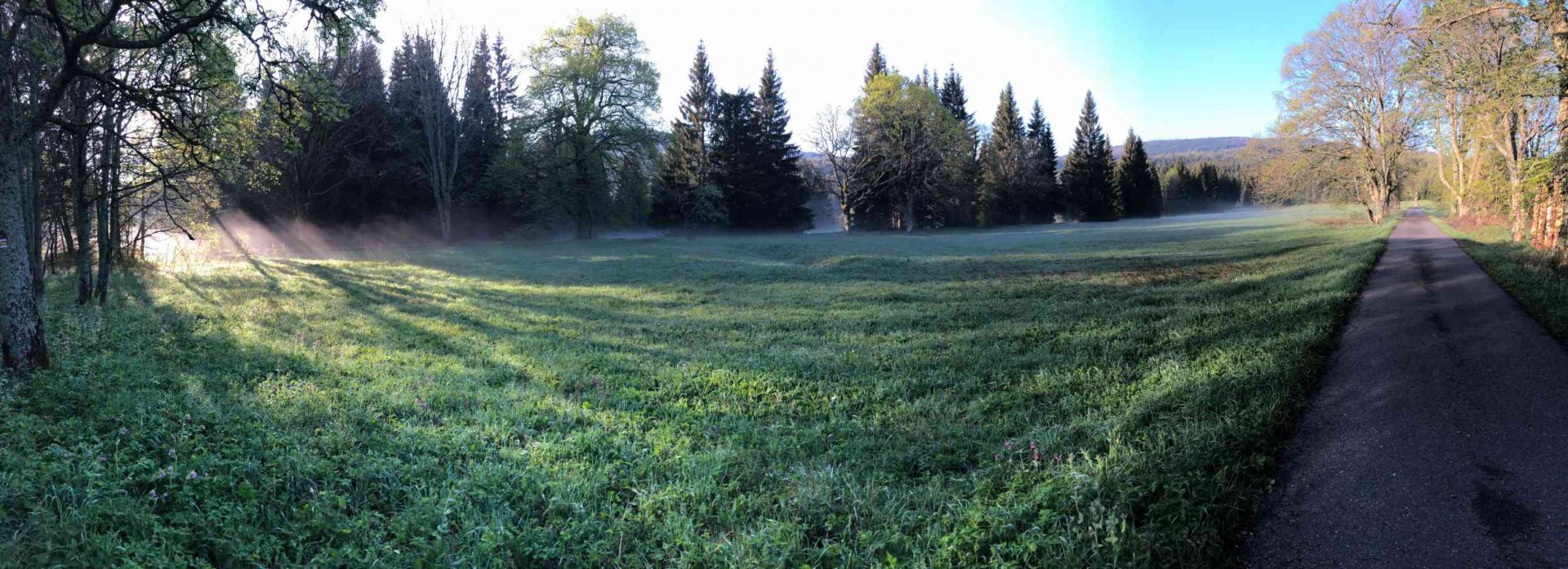
I wake up before seven o'clock, pack all my things, pack my tent, brush my teeth and set off without breakfast. I don't like to have breakfast so early, I leave it for later. I leave a little after seven o'clock. After the rain, the air has cleared up nicely. There is a light haze from the grass everywhere, and there is absolute silence at the Hůrka, which is respected by the others at the overnight camp.
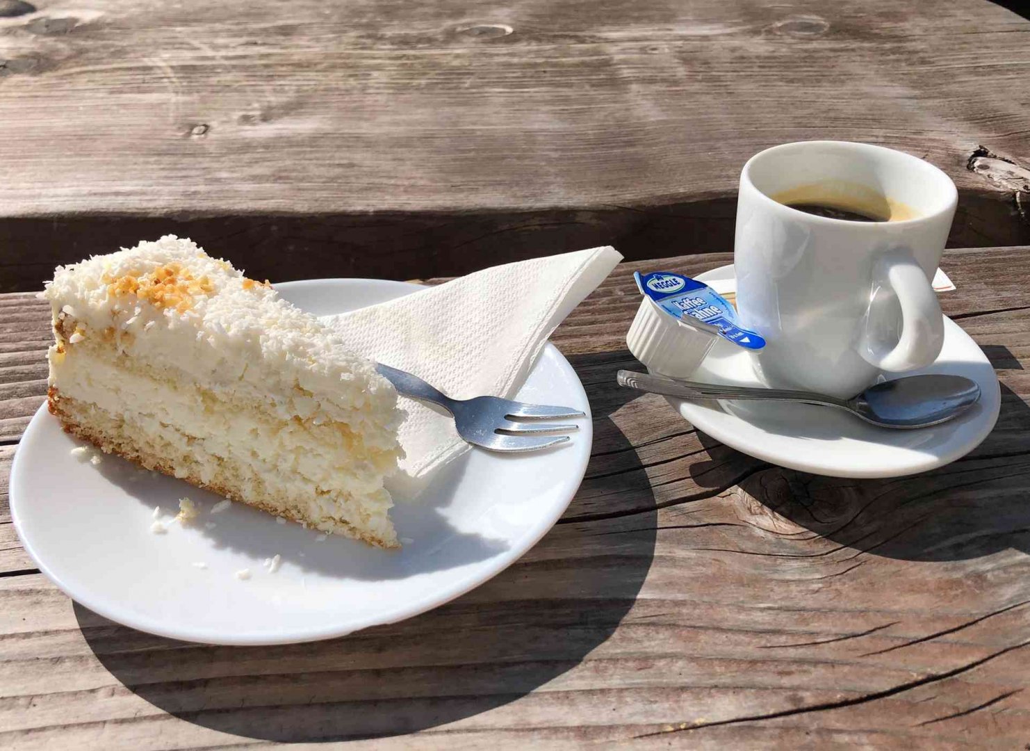
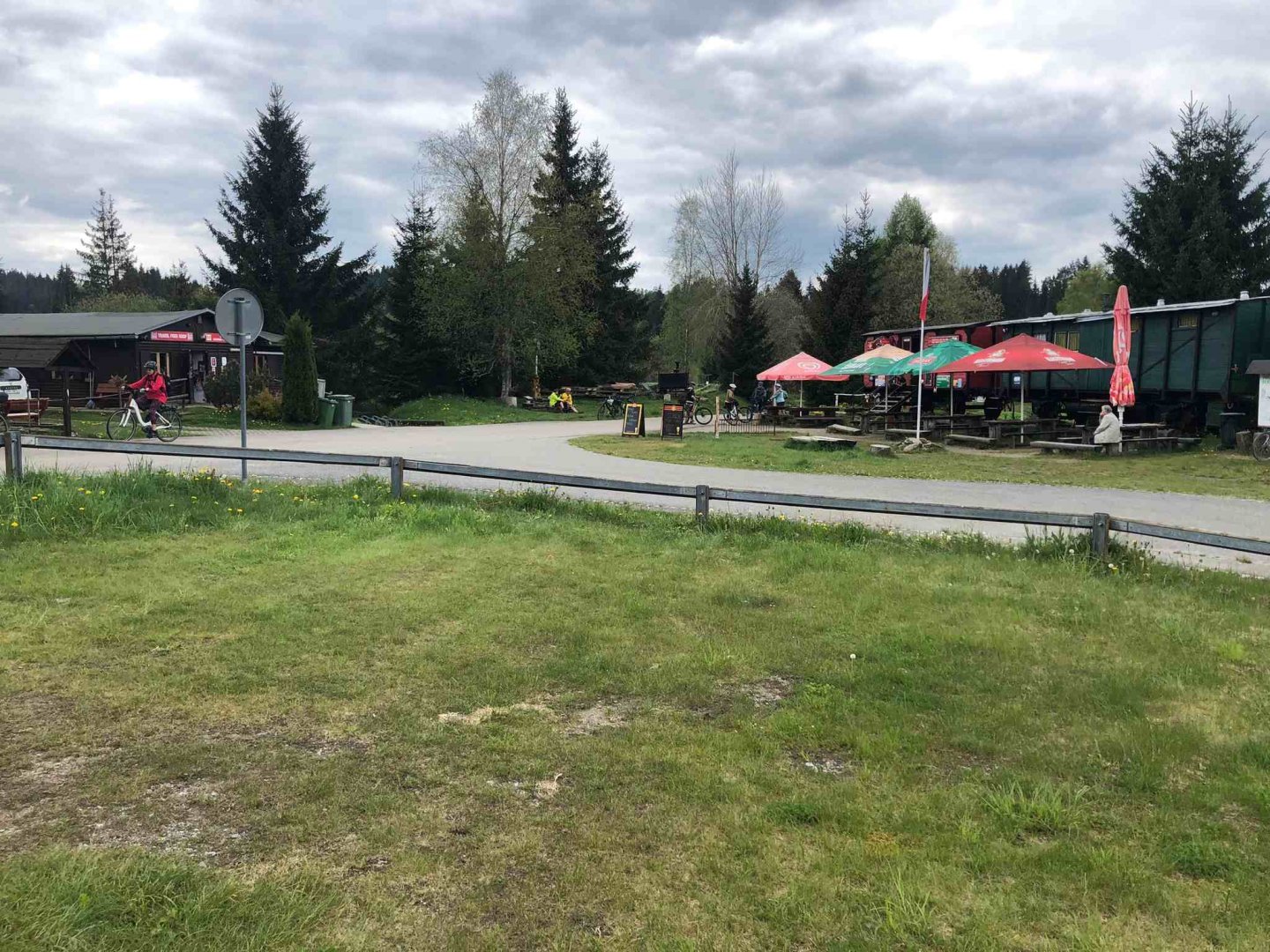
I set off on the yellow sign (asphalt road) and descend slightly to the signpost with the green sign "High footbridges", where I turn onto the green sign. The path follows a forest path and actually follows the road from the north to Prášil, only traversing through the forest via the defunct Formberg building. After about an hour and a half from the overnight stay at Hůrka I arrive in the awakening Prášil. It's a weekday, so the grocery store in the Dandelion Guesthouse is open, where I buy sweet Piknik milk :) and a can of tuna. Right next to the grocery is also a cafe part of the guesthouse, where I have a coffee and cake for breakfast to give me energy for the next journey :)
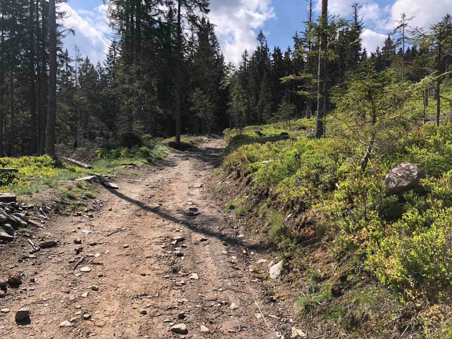
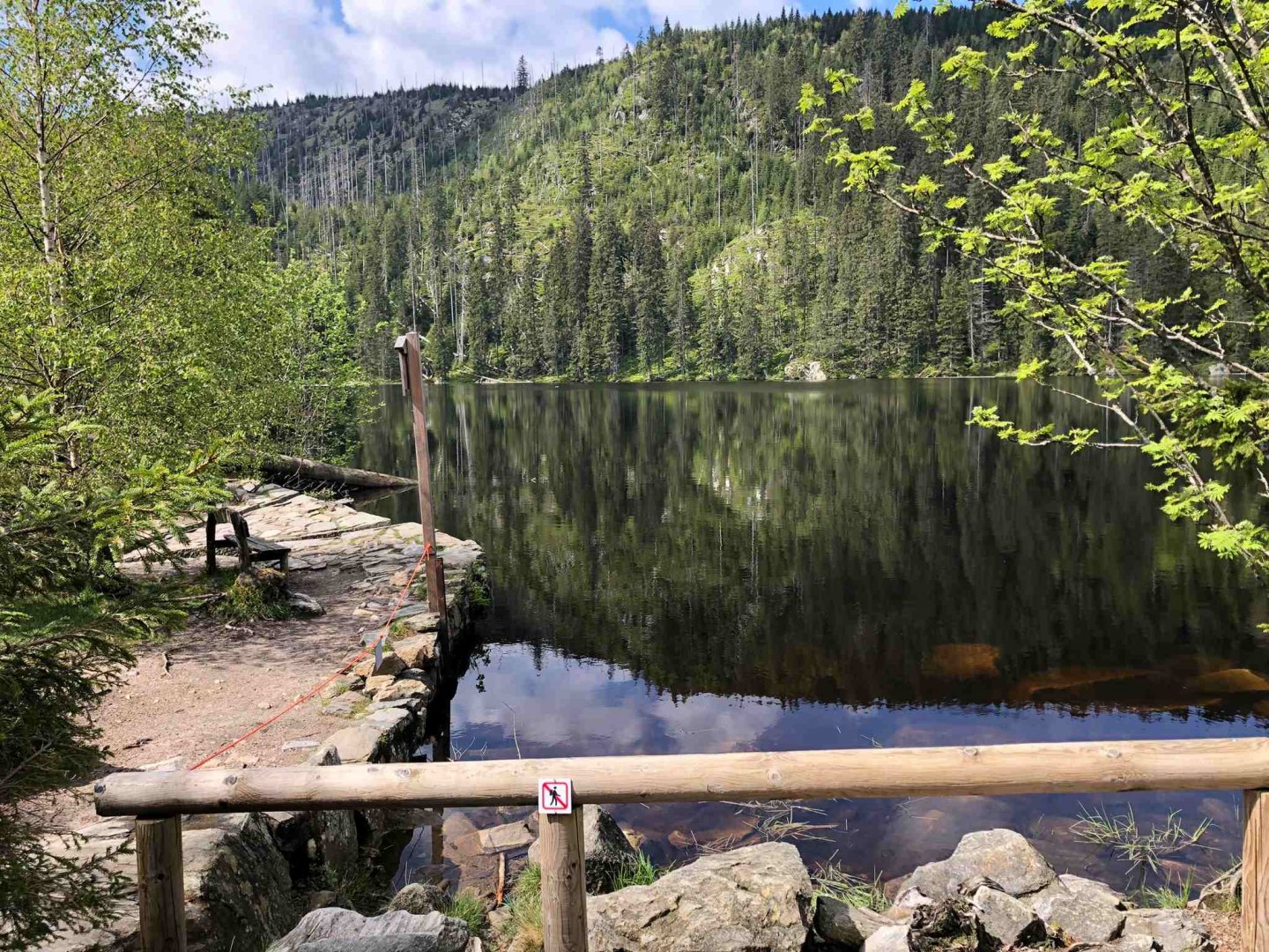
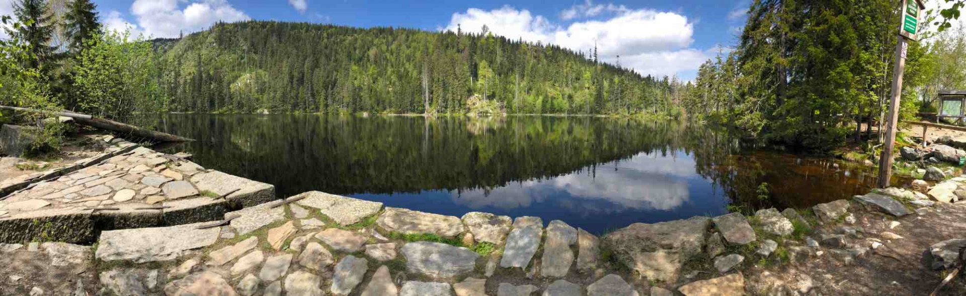
From Prášil I set off along the red trail southwards to Prášil Lake. The road to the lake is still uphill, first on the asphalt road, then most of it on a forest path. I am at Prášil Lake in about an hour. Luckily there is no one here right now, so I have the whole lake to myself for about 10 minutes. Then about 5 groups of people pile in, so I get up and follow the red light to the "Foxhole" crossroads. For a while I thought about climbing up to the lookout tower at Polednik 1,315 m above sea level, but then I took another look at the map, and since I have a portion of over 30 km to cover today, I continued from Foxholes along the green trail for a bit and then turned right on the yellow sign towards "Nova Studnica".
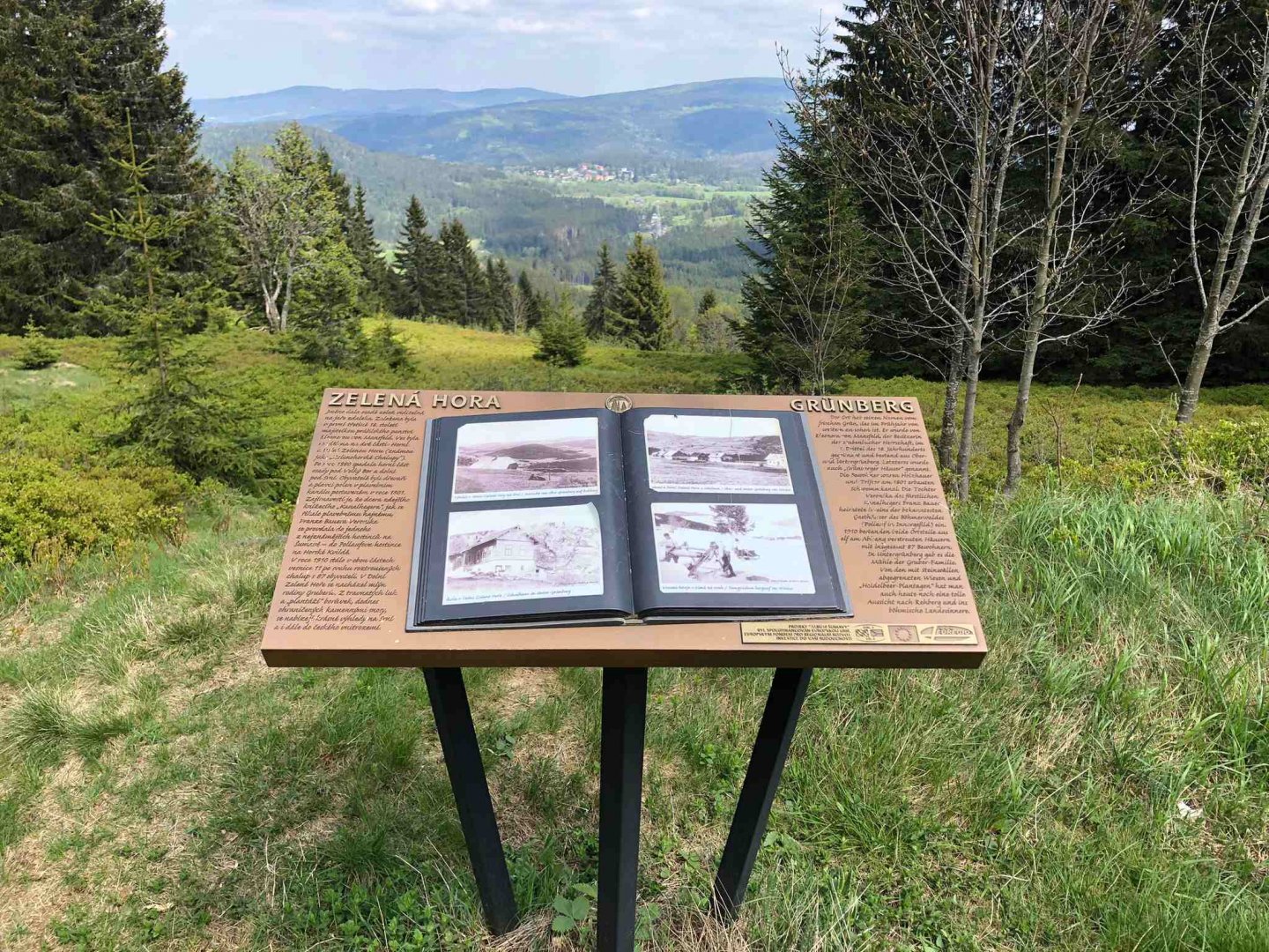
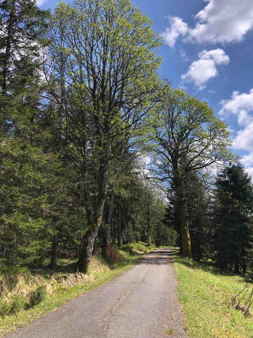
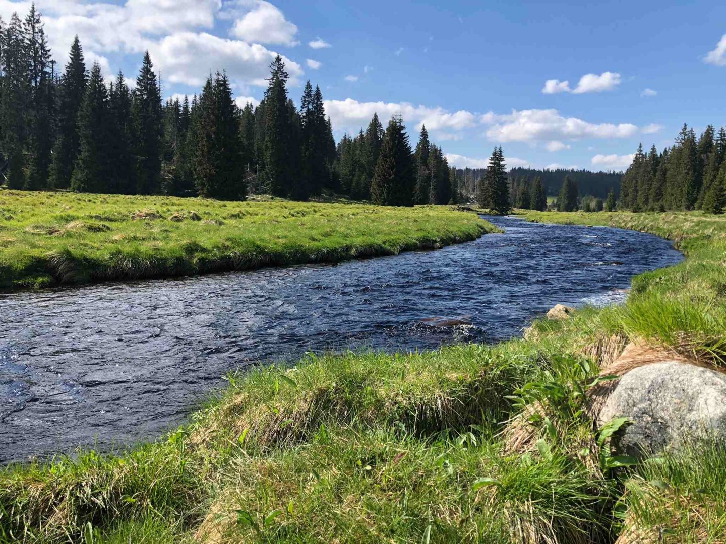
Here I joined the blue hiking trail and followed the asphalt road southwards over the viewpoint on Zelená hora, passed the Oblík mountain at 1,225 m above sea level (the more fit can of course climb it) and followed the blue trail to the former Javoří pilu. From there I took the red trail to Modrava. The blue and red trail is actually a cycle path and runs on asphalt. So you meet a lot of cyclists. Of course, it would be better to still follow the red trail from Plešný jezero, but most of this route is closed until 15 July due to nature protection.
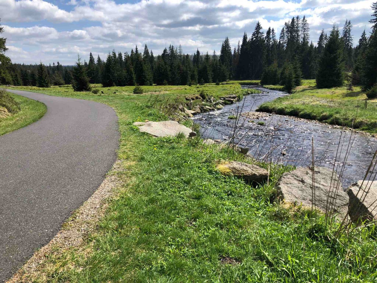
On the red before Modrava I follow the beautiful Rokladno stream, in which I cool my feet. The emergency camping site at Modrava is almost part of the village. From the brewery Modrava is the accommodation place about 200 meters away, which pleased me. Since dinner in the brewery I could see the tent erected :)
3. day
Date of day (Friday 10.5.2024), Modrava - Strážné: 33 km, elevation 640 m
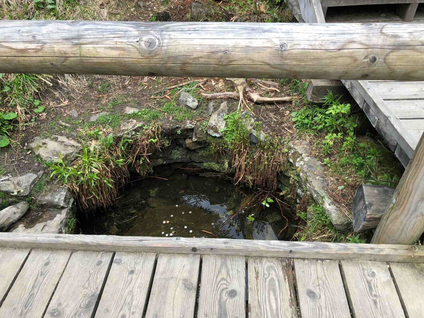
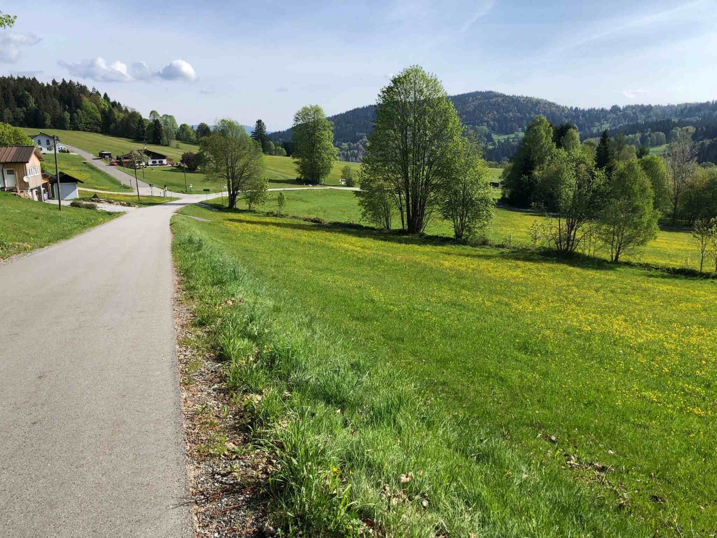
I leave Modrava again early in the morning around 7 o'clock and walk through the empty Modrava along the red trail. The whole way to the source of the Teplá Vltava River is about 11 km uphill on a mostly asphalt cycle path. To reach the source of the Vltava itself you have to turn a few hundred metres onto the blue marker. If anyone asks me if it's worth seeing, I'll tell them no - it's just a hole in the ground, with a wooden footbridge around it.
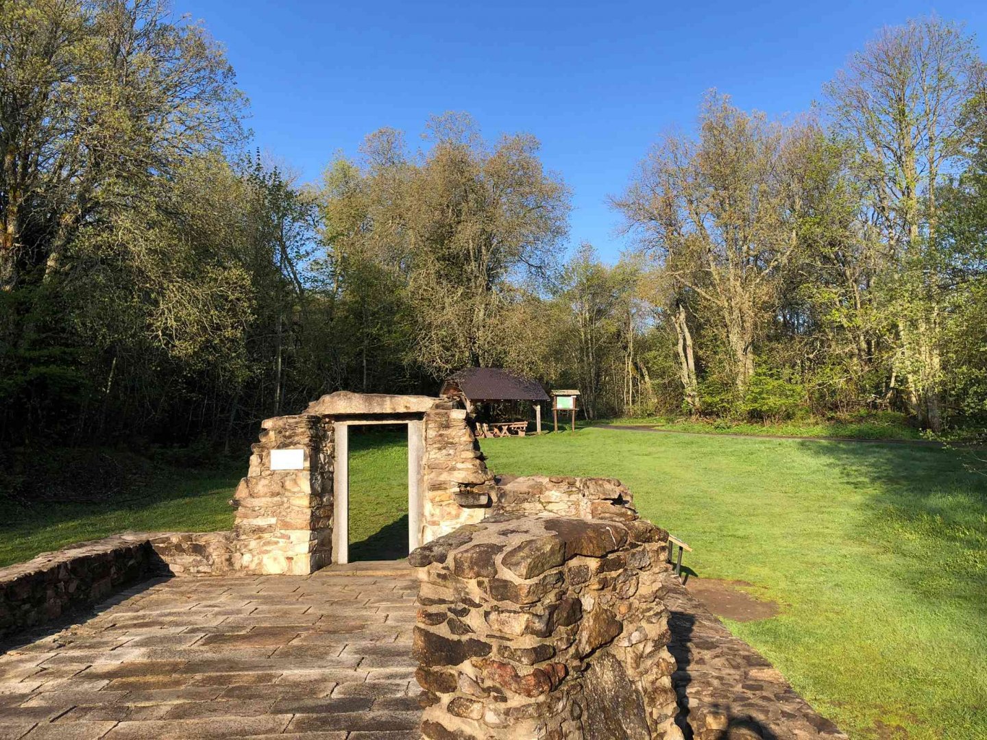
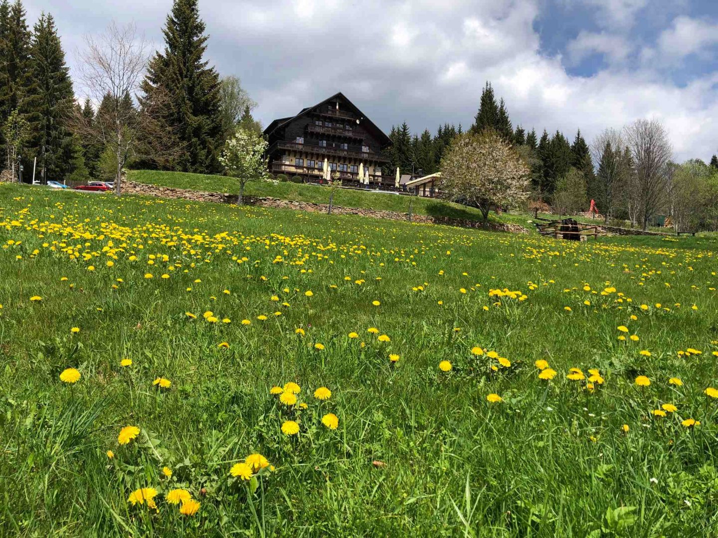
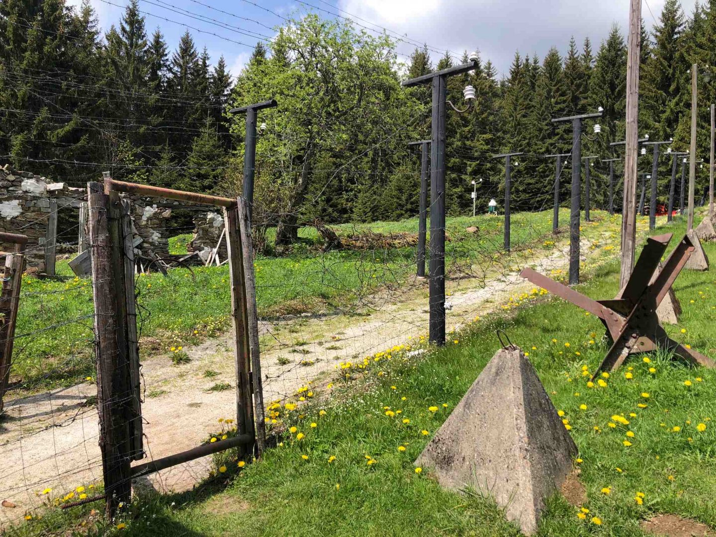
From the source of the Vltava I descend again on the red trail to Bučina. The surroundings of Bučina are really beautiful, there are great views and one of the highest mountain hotels in Šumava, the Alpine viewpoint at about 1 155 m above sea level. Right next to the hotel with a restaurant you will find an example of the original Iron Curtain fencing.
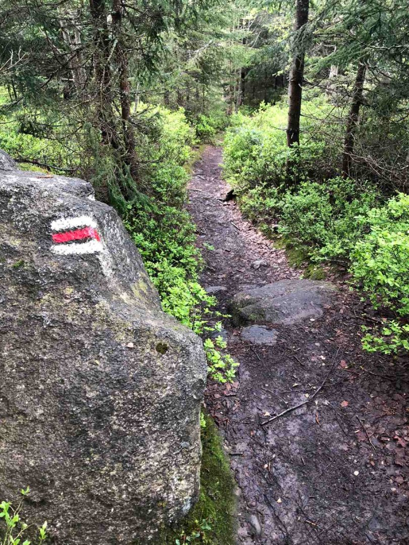
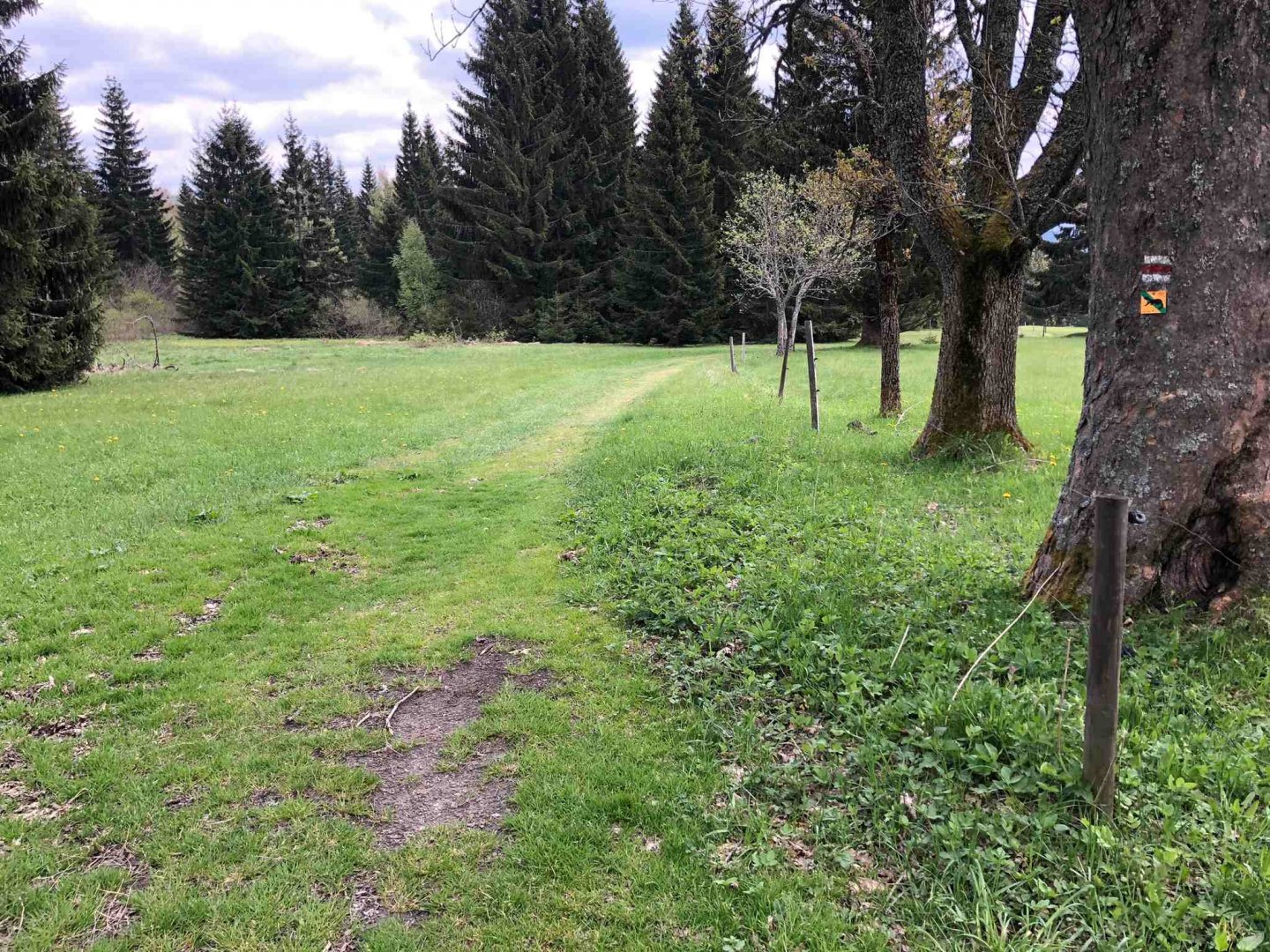
After a refreshment at the Alpine viewpoint, I connect to the red marker again and walk through Chaloupky to Knížecí pláně, where there is a remnant of the original church of St. John the Baptist. The path from Knížecí plání to Strážný along the red trail is very nice. It is no longer on asphalt, but on forest and meadow paths with beautiful views. It is about 6 km, which you will really enjoy. I have met about 2 cyclists on this route (which is really not enough for June and the magistrala in Šumava).
The actual overnight stay at Strážný is about a kilometre from the village. So if you want to go for a draft beer, you have to go two kilometers further :). I met two other walkers at this overnight stay - quite a coincidence that we are all from the marketing industry :) ... we chatted about how difficult our field is, that we have to clean our heads by walking :))
4. day
Date of day (Friday 10.5.2024), Strážné - Plechý: 32.2 km, elevation 1 052 m
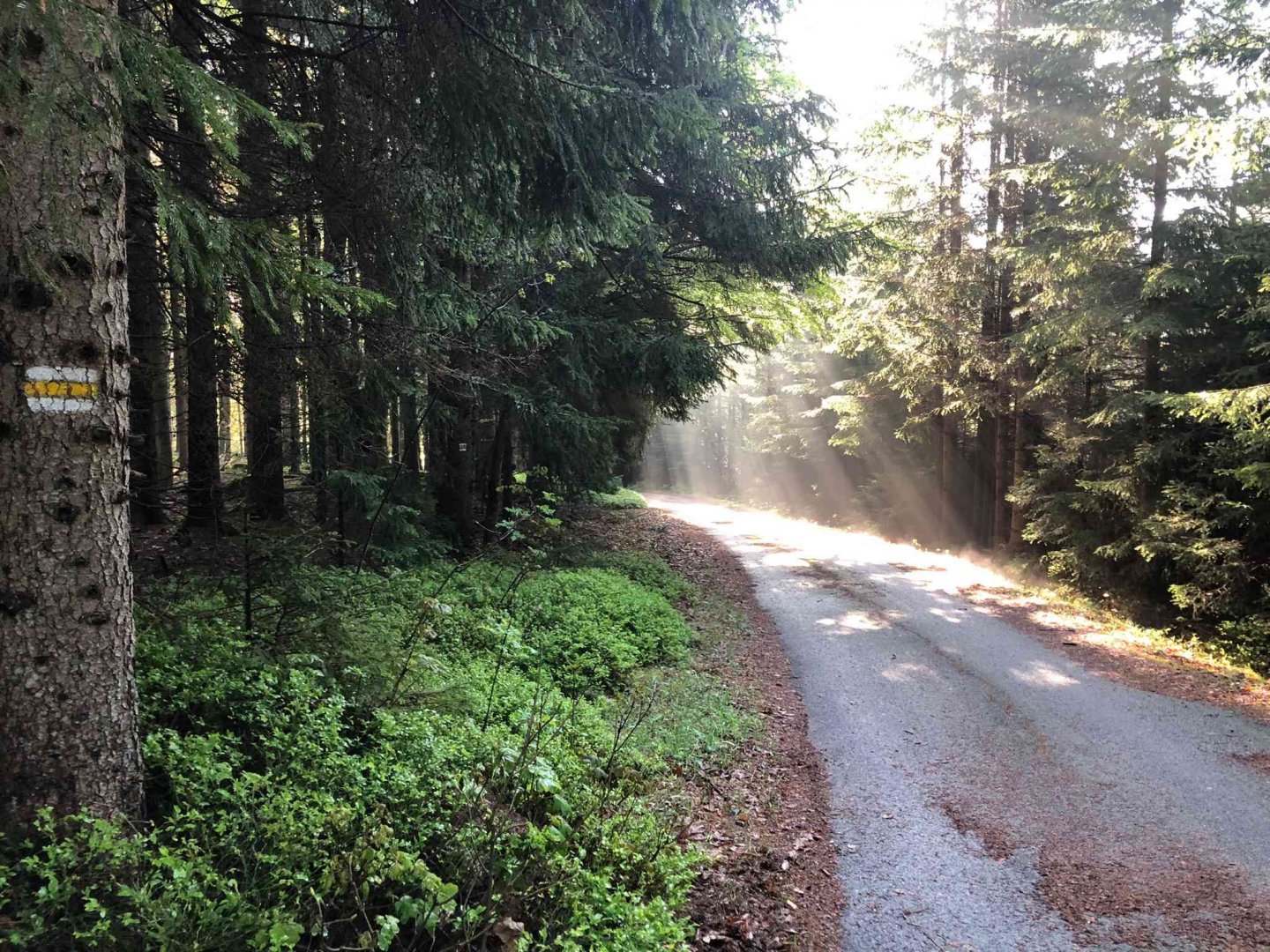
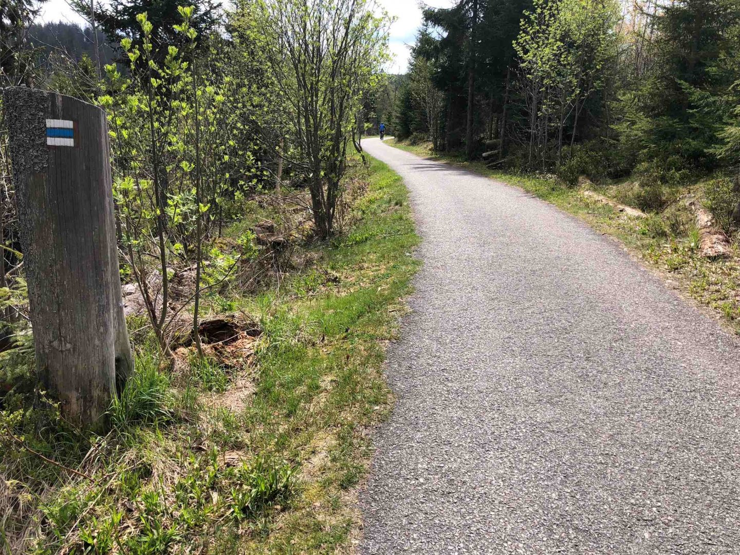
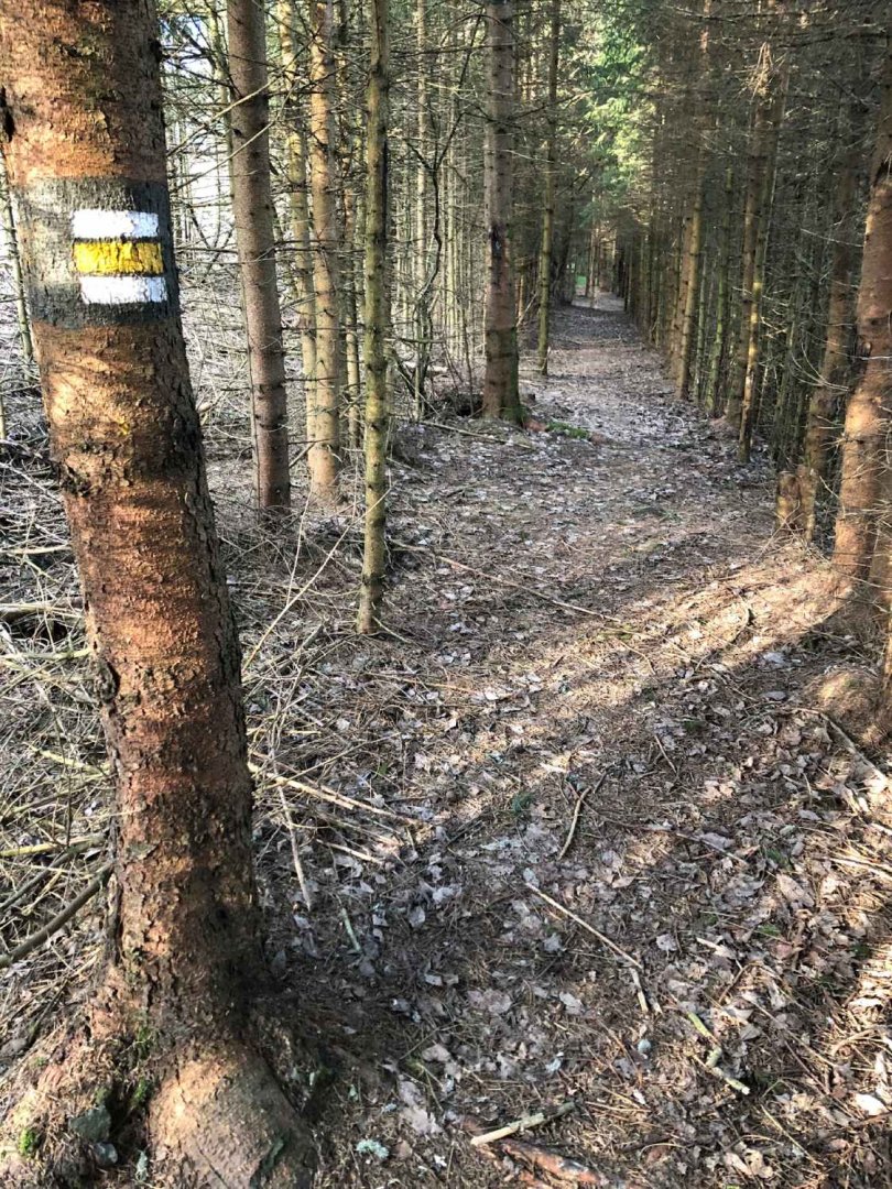
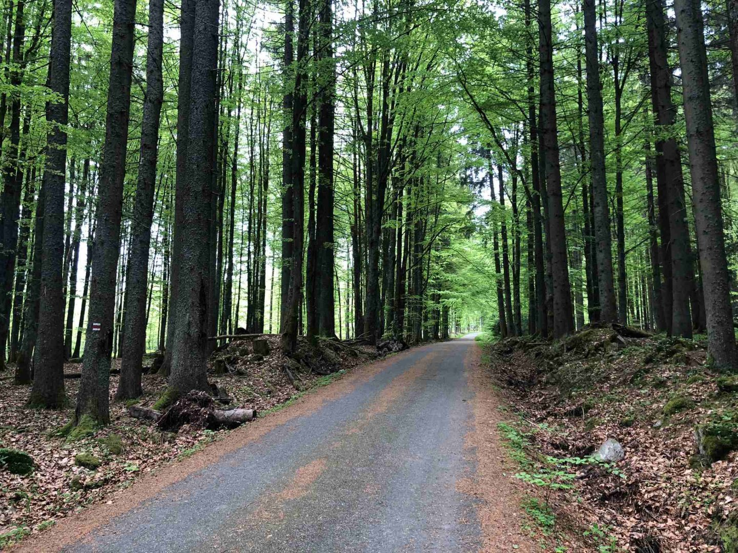
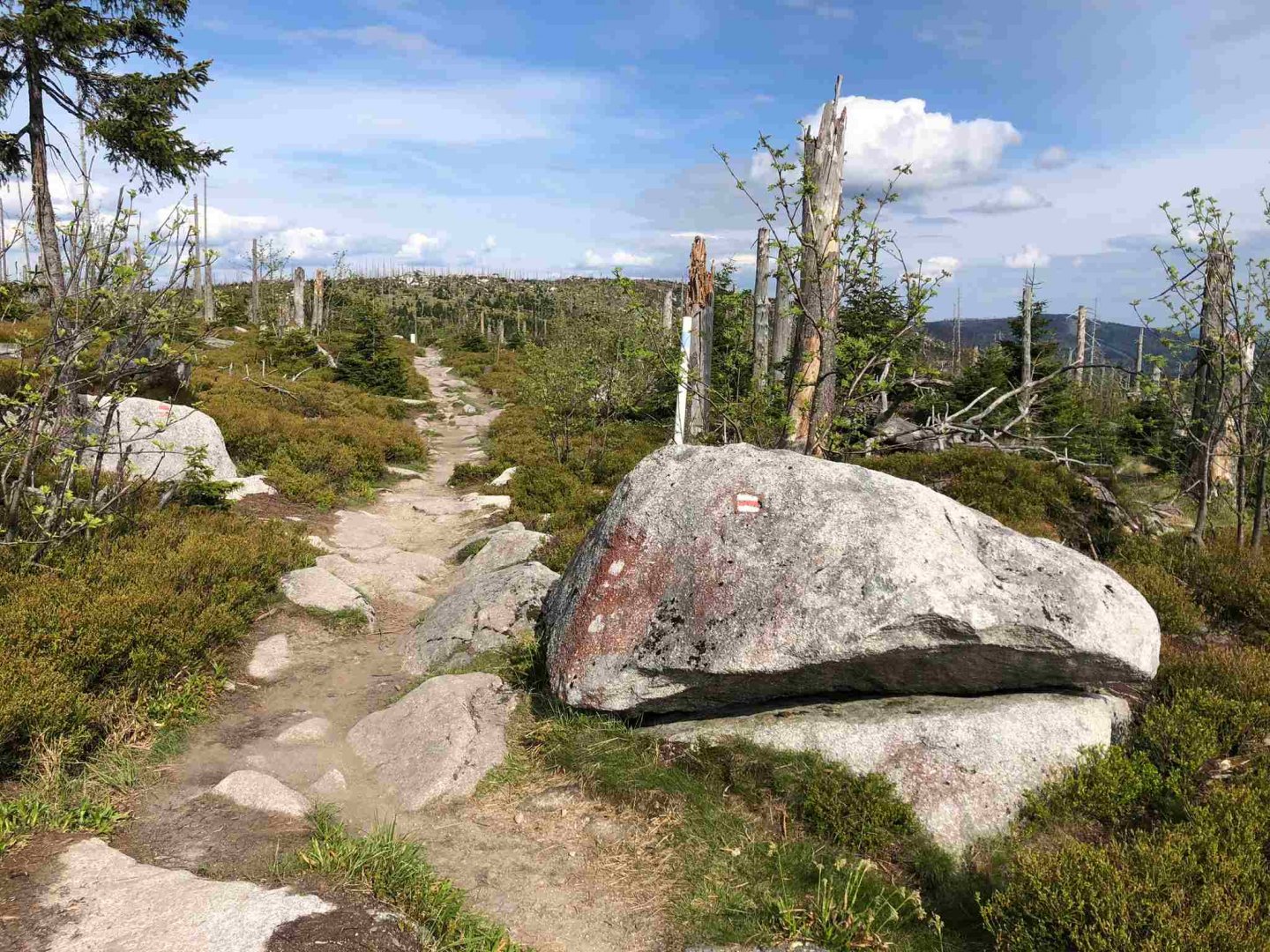
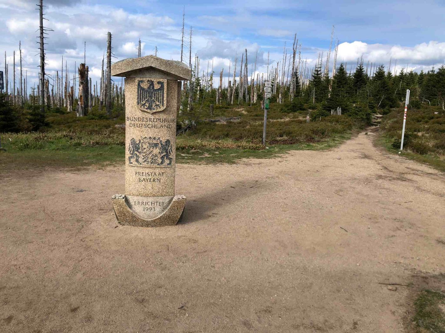
From the overnight camp near Strážný I set off again at about 7.00 a.m. following the red trail to the U Krmelce crossroads, where I join the yellow trail. This is because the next part of the red Via Czechia goes through the national park, which is closed until 15.7. to avoid disturbing the animals. So I will follow the yellow trail to the Strážný crossing with Germany. From there, I follow the red sign again above Schwarzenthal and then through Bischofsreut. From there I cross the Marchhäuser to the state border, where I join the yellow line and follow it to the former village of Mlaka at the crossroads.
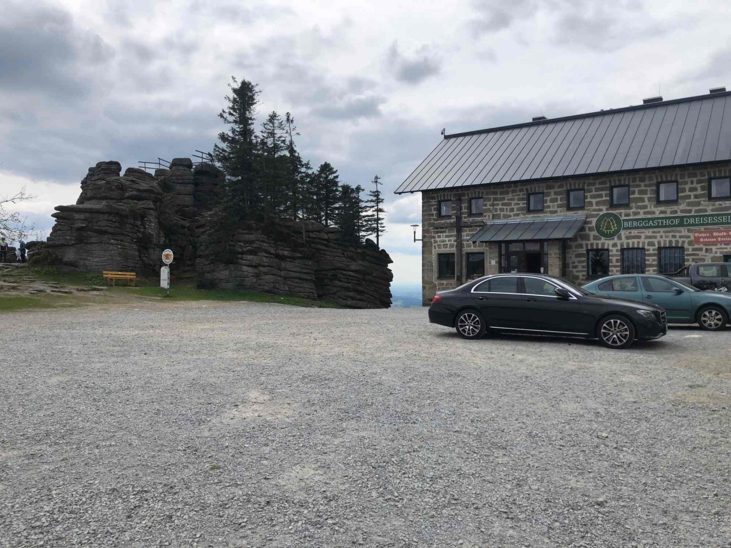
From Mlaka I set off again along the Red Trail through the Czech Republic. The path leads in places in the forest or in open countryside. In about 2 hours from Mlaka I reach Nový údolí, where the railway line ends. There is a stylish refreshment in a former wagon - Krčma Vagon, where I have a beer and a sausage. For those who would like a better meal there is a Hotel Nové Údolí with a restaurant a little further on. After the refreshment I follow the red marker from the beginning on the asphalt road towards Třístoličník 1 302 m above sea level.
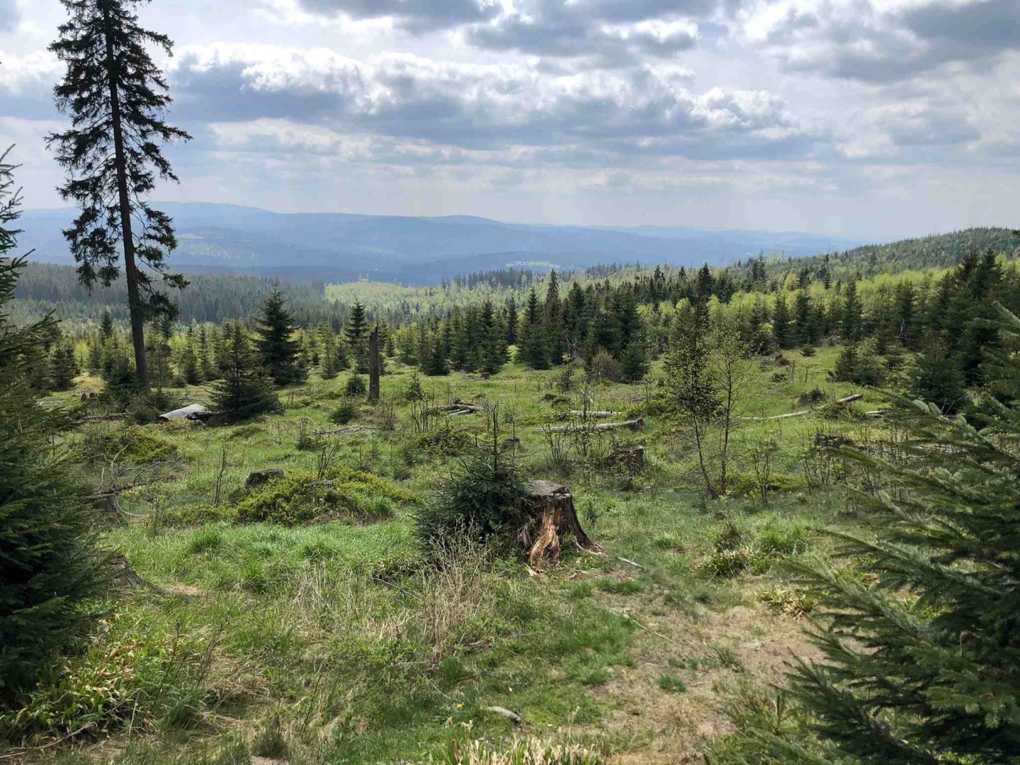
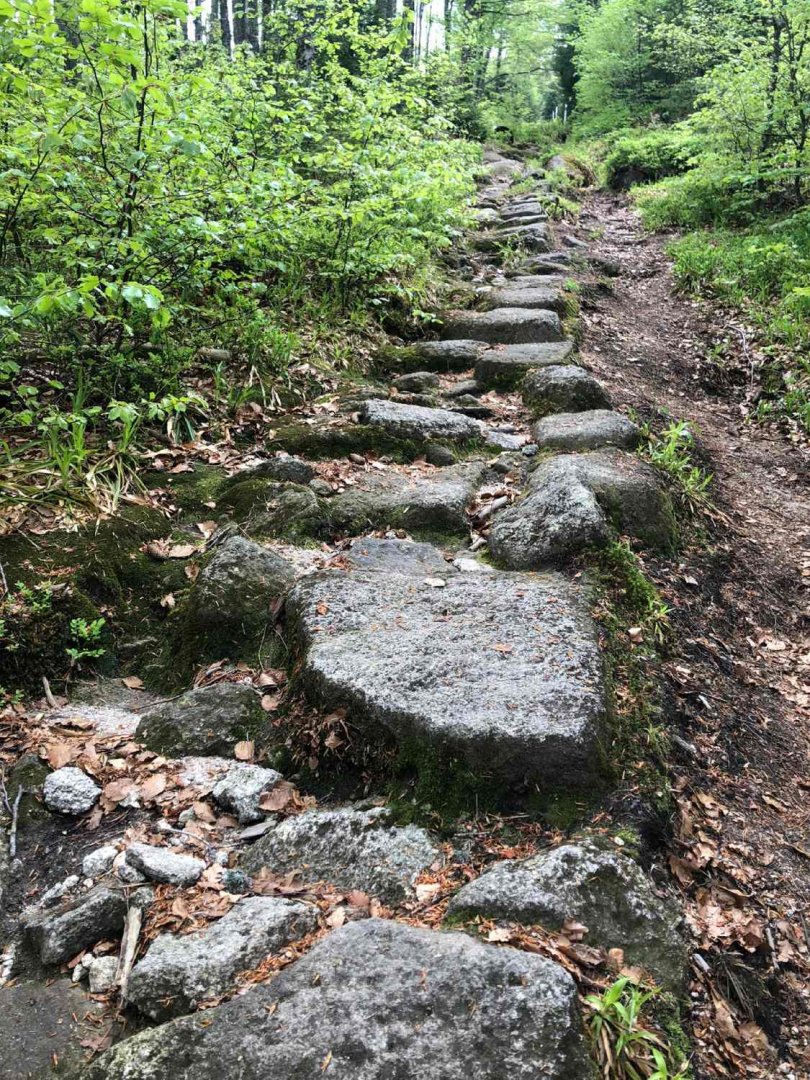
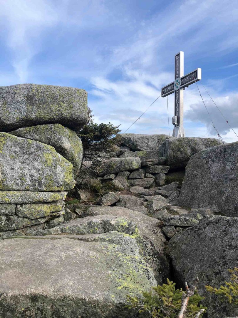
The road from Nové Údolí is still slightly uphill - I have to climb a little over 500 metres up to Třístoličník (Dreisessel in German), which will not be idyllic with a heavy backpack. After the Rosenauer monument the asphalt road ends and you go along the forest path. The last two kilometres before the Three Stools are a real treat - a never-ending steep climb on large stones. The reward at the top is great views of a large part of Šumava, but also of the Alps on the German side. The Berggasthof Dreisessel mountain hut on the German side of the border is also a delight.
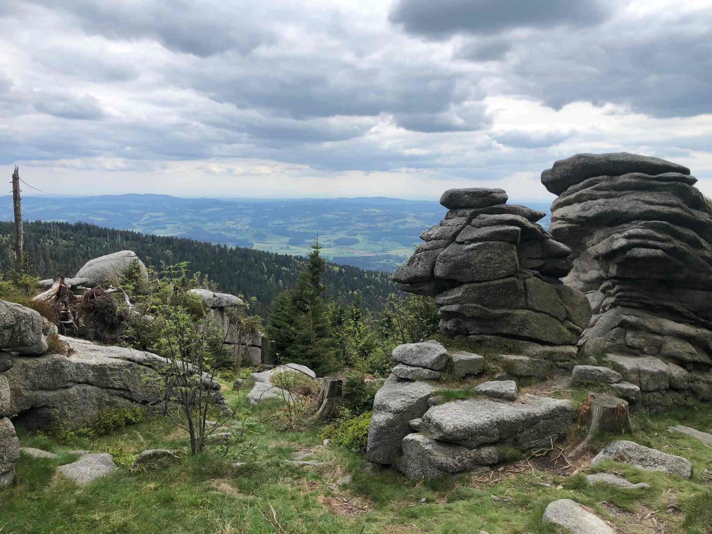
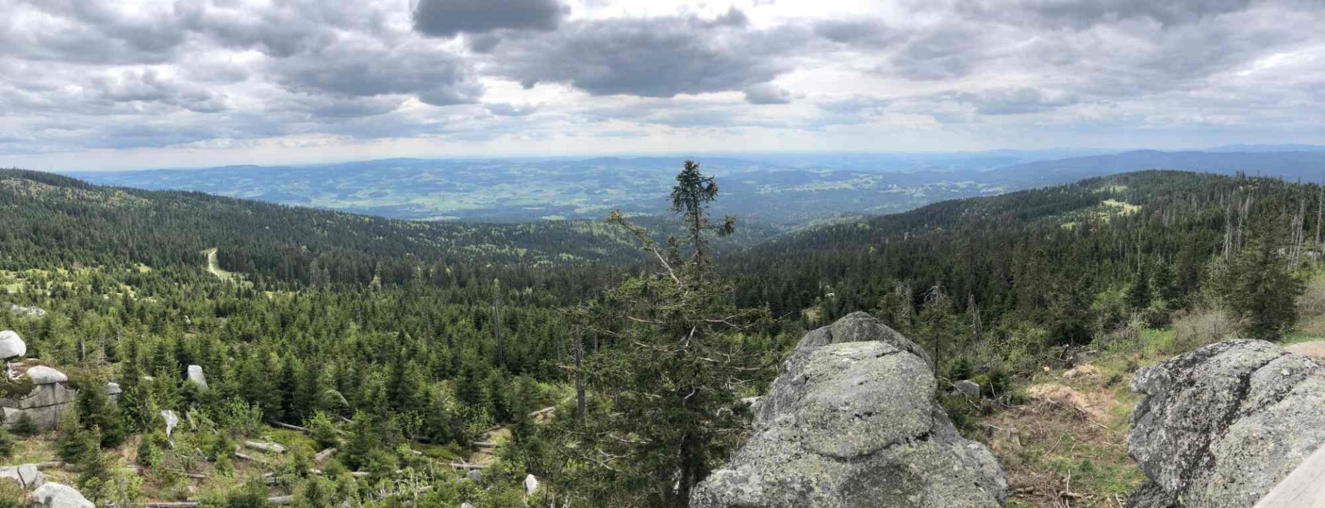
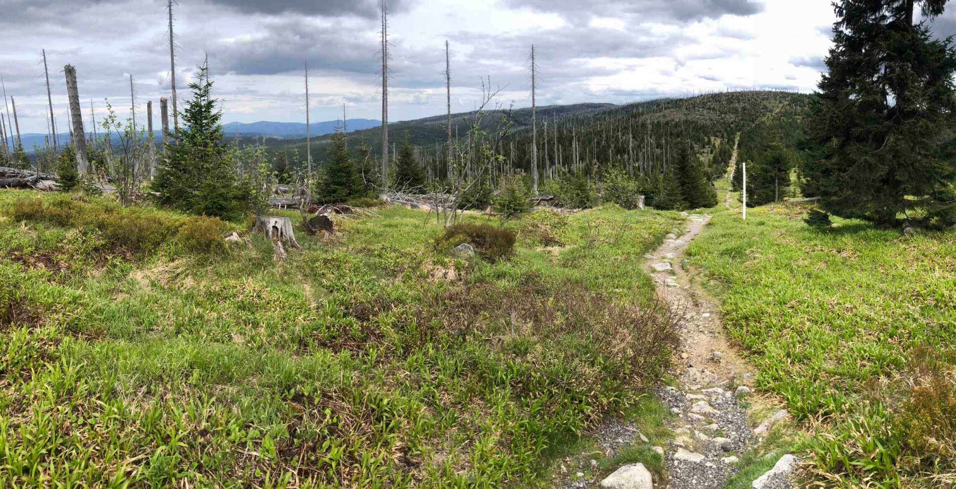
From Třístoličník I continue on the red trail along a beautiful ridge over the peaks Vysoký hřeben 1 341 m above sea level, Trojmezná 1 362 m above sea level and Plechý 1 378 m above sea level. From Mount Plechý I descend steeply again on the yellow trail to Plešný jezero and then I walk a short distance to the overnight camping site below Plešný jezero. This day really gave me a hard time - maybe not having 12 kg on my back :)) ... I discover more blisters :).
5. day
Date of day (Friday 10.5.2024), Plechý - Nová Pec: 7.2 km, elevation 12 m
On the fifth and last day I have only a relaxing route to Nová Pec. It is about 7 km of gentle descent on an asphalt road. My train leaves at 9.25 and I arrive in Nova Pec at 8.45 - I would expect there to be somewhere to have breakfast or buy something. However, Nová Pec is totally dead on a Sunday morning with no possibility of refreshments.
Difficulty
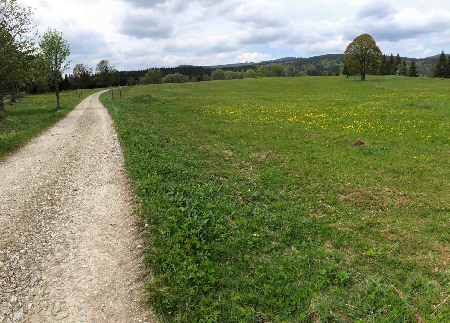
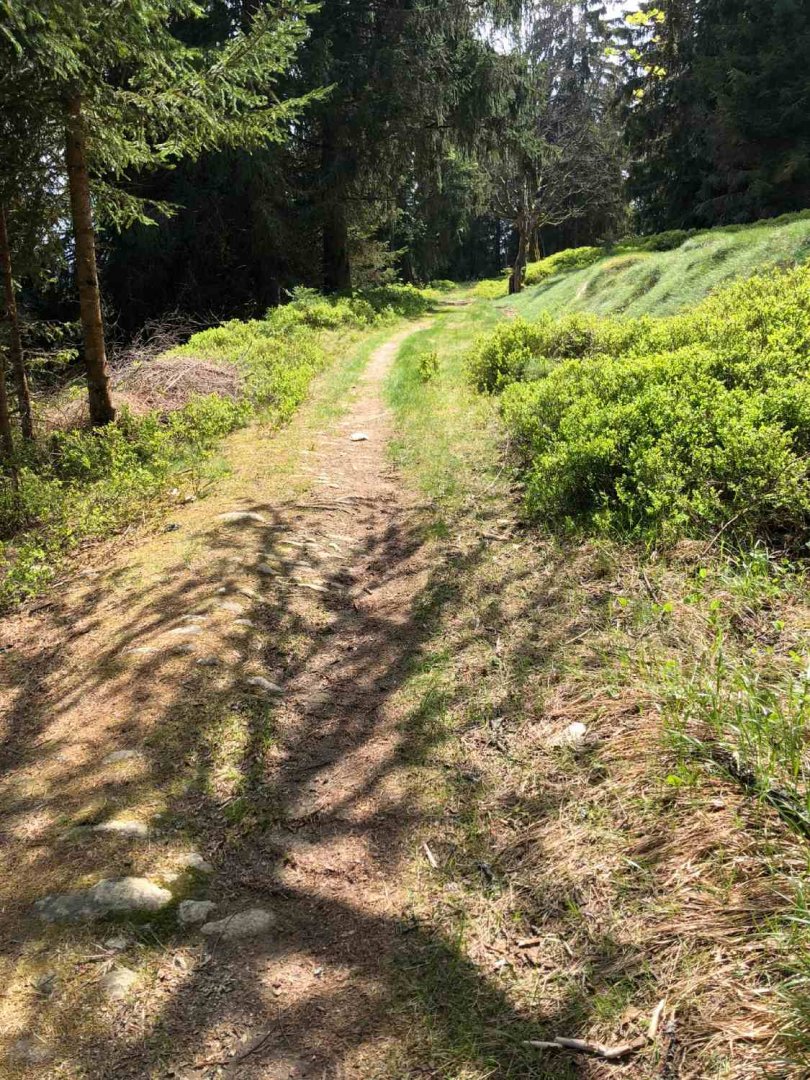
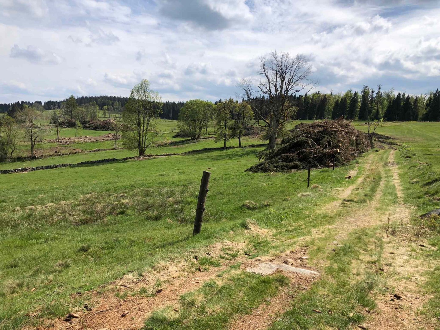
The crossing is demanding especially because of its length, a total of 110 km on hard, i.e. with complete equipment for sleeping, food and clothing. In my case, the weight of the backpack was between 10-12 kg. Mostly it is on wide forest roads, unfortunately also asphalt roads for the most part. Because of this you will also meet a lot of cyclists.
Don't expect to see any wild animals, at most you will see a deer or wild boar. Only at the top of Třístoličník and Plechý are there a bit steeper passages, otherwise the gradients of the paths are very gentle, although sometimes very long (from Modrava to the source of the Vltava it is about 10 km uphill). The crossing is also frequented by many people with dogs. I probably wouldn't recommend the hike for school-age children, reps. from high school yes, but not smaller ones with such a load.
Water availability
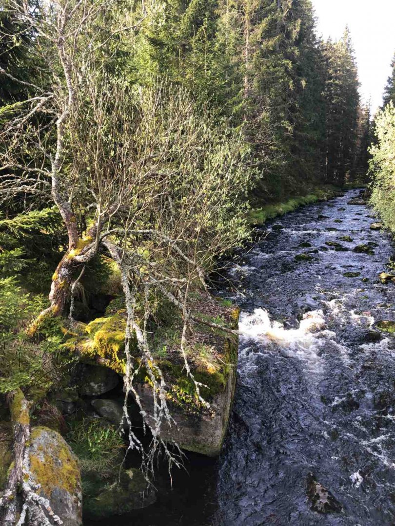
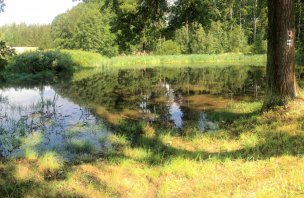
In the first half of the transition, the availability of drinking water springs is really great. Almost at every step there is a mountain stream from which you don't have to worry about getting water. In the second half of the trek, there are also quite a few streams, but mostly flowing from wetlands and standing water, so the quality is not the best.
Another option where to refill water is in the villages along the way. Actually, every day you pass through some inhabited place where there is a pub or a small shop - from the north it is Hůrka, Prášili, Modrava, Strážné, Nové Údolí.
Sleeping options
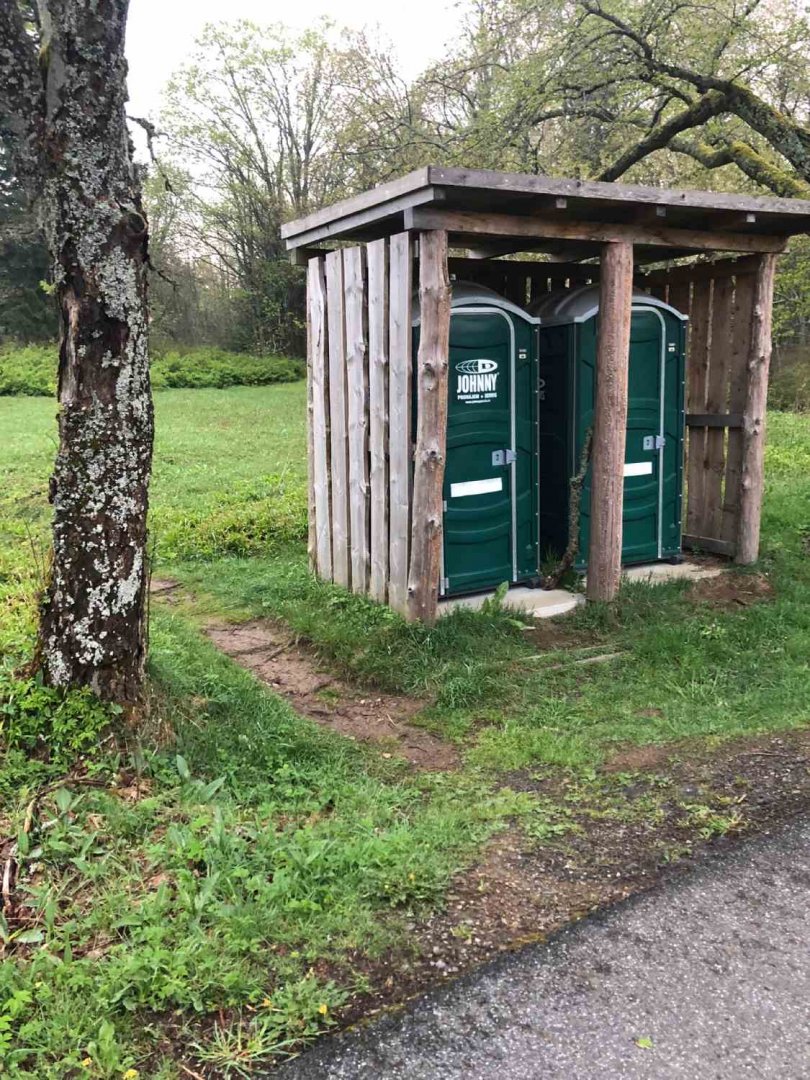
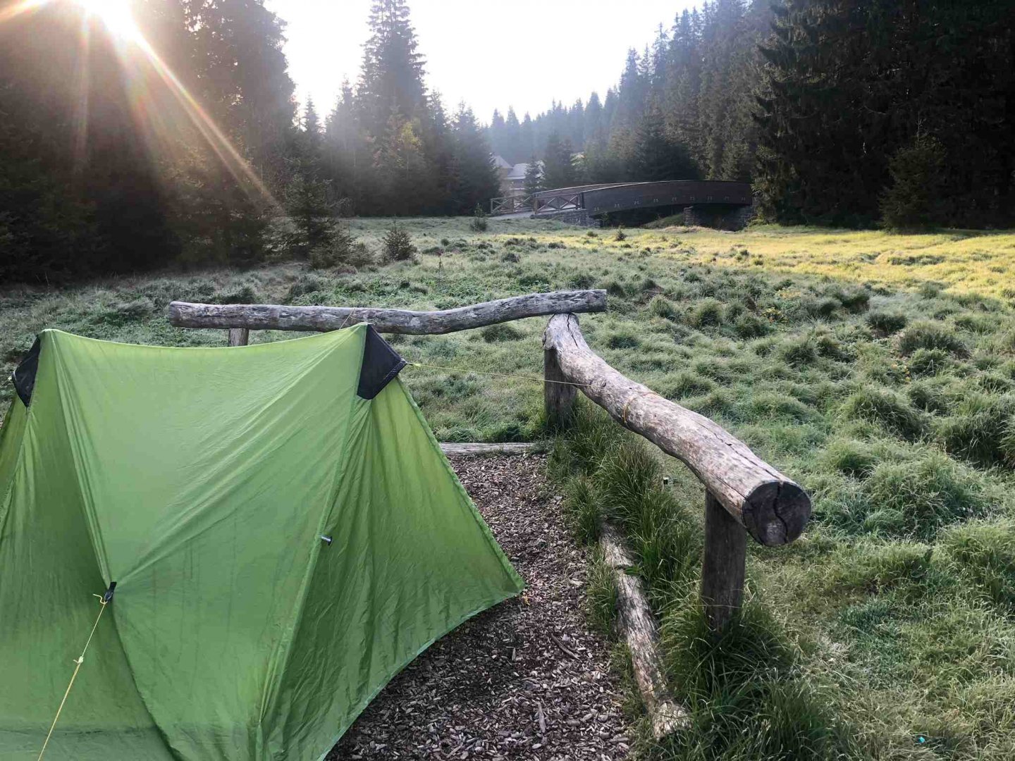
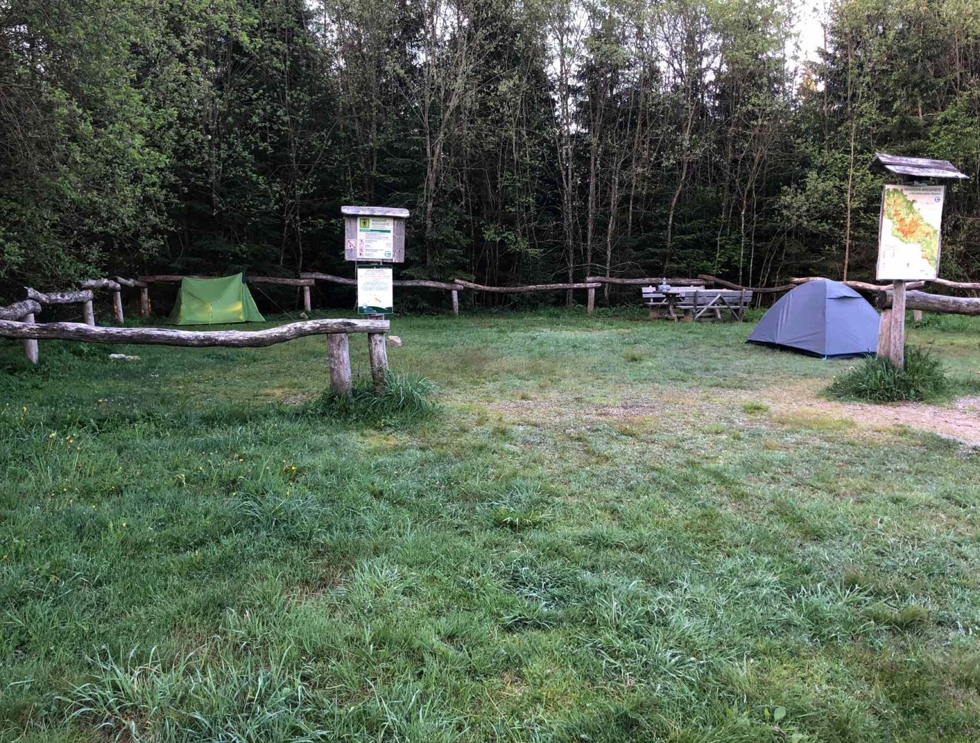
When crossing the Šumava, sleeping is well taken care of by the National Park Service, which has created a so-called "emergency overnight camping site" every 15 kilometers on the red trail marker Via Czechia. Two clean mobile toilets are placed at each one. It is always possible to stay here for one night only and in a designated place from 18.00 to 09.00 the next day. This is a great thing for tourists crossing the Bohemian Forest.
Photos