Mountain range, region / State
Malý Kavkaz / Georgia
Season
Summer
07. 08. - 09. 08. 2019
Difficulty
3 / 5
Elevation
↑ 3944 m
↓ 3883 m
Length
44.7 km
3 days
Altitude
max. 2562 m n.m.
min. 903 m n.m.
Tips for hikes in the country Georgia
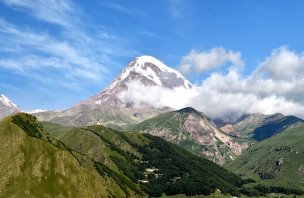
Trip to the Holy Trinity Church in Gergeti, Caucasus
Trek in Truso valley in Georgia
A short trek over the town of Stepantsminda in Georgia
Crossing the Borjomi Mountains in the Lesser Caucasus
Starting point
The route starts at road 8 just before the village of Atskuri - see map for exact position. There is no parking, no shop, no water source at the starting point. Shopping is possible in the nearby town of Borjomi, or with a limited range in the village of Atskuri.
About 1 km from the starting point in the forest is the Atskuri guardian's post, at which there is a full-size campsite with overnight camping. This is also one of the entry points to the entire national park. The trailhead can be conveniently reached by shuttle bus from the nearby town of Borjomi. The tourists here are used to and prepared for tourists.
In Borjomi, you must visit the visitor centre, register and pay a fee before entering the national park. This is not possible at the Atskuri guardian's post! Movement around the park is quite strictly controlled by Georgian standards and checks on fee payment are not uncommon.
Fortunately, the fee is very low and all the essential information about movement in the national park is maintained in English on this page. You can only sleep in the park at pre-designated campsites and you must quickly discuss your itinerary with the rangers. You can either choose from the routes offered on the website or make up your own.
The rangers are very helpful and just want to make sure that you always sleep at the designated campsite and that you don't run out of water at the crossing. There is little of it in the mountains, but the rangers are the ones who keep track of the current status of each spring. On our visit (early August) there was plenty of water everywhere. The rewards for this necessary bureaucracy are really well marked trails, the certainty of water on the trail, well prepared campsites and of course beautiful scenery.
In addition, it is possible to rent all sorts of things at the visitor center (guidebook, tent, maybe even a car), buy a map, or book a place in a cabin at the campgrounds for the night and complete the entire crossing lightly. The town of Borjomi itself can be reached by shuttle from any major Georgian town. You can also use the train connection, which is slower but offers an authentic experience.
Description of the hike
1. day
The first night we slept in the town of Borjomi. Early in the morning we quickly buy supplies at the local market and go looking for a shuttle to Atskuri. The stop for shuttles going in our direction is at the main road just above the supermarkets to the south.
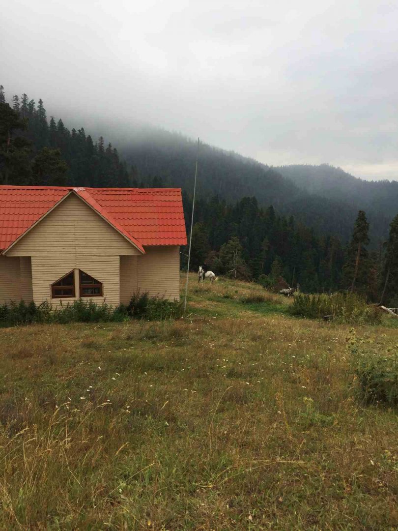
We find the van immediately, the journey is cheap and we soon get off at the marked boarding point for our crossing. We continue along the dirt road for about 1 km to the edge of the woods where the park entrance is and the hiking trail begins. It is also possible to sleep here.
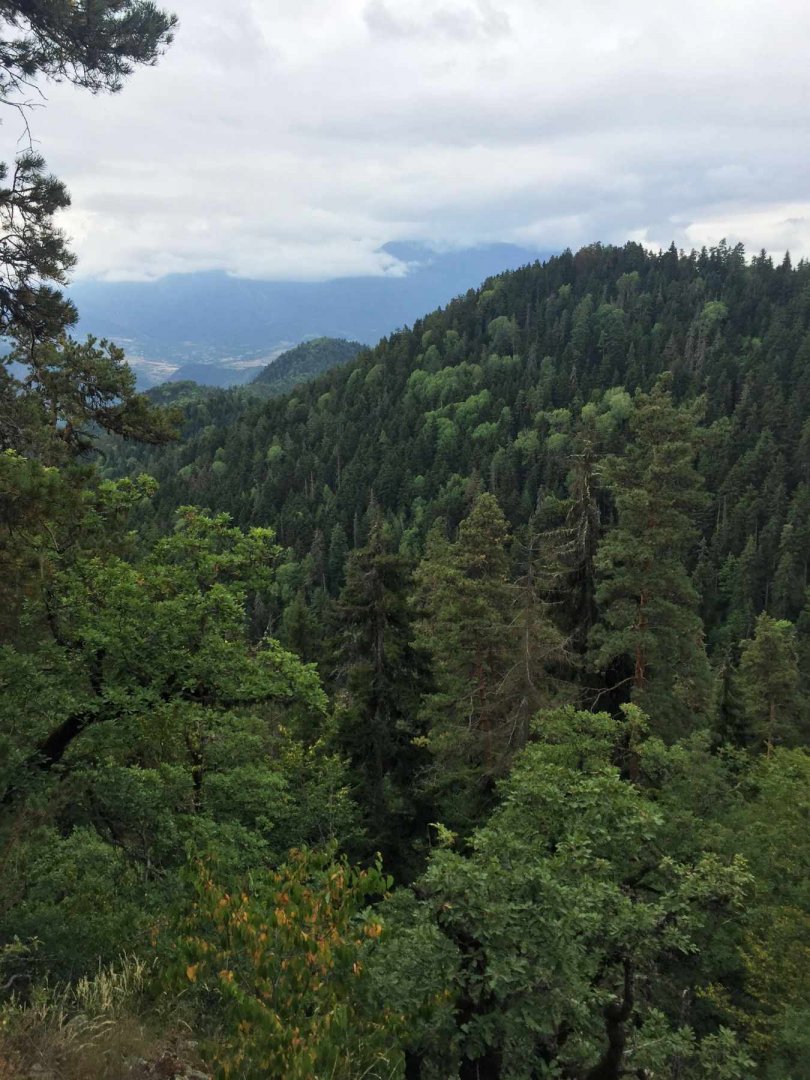
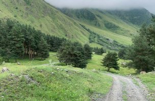
We continue along the hiking trail and soon pass a goat sanctuary - unfortunately, goats are not exactly at home. The path is perfectly marked. It continues along the path through the valley alongside the stream until it veers off the road to the left and directly into the hills. There are some faint trickles (the last water of the day) and it's good going under the trees.
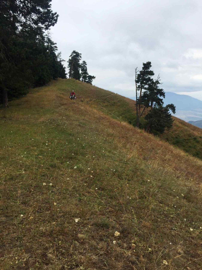
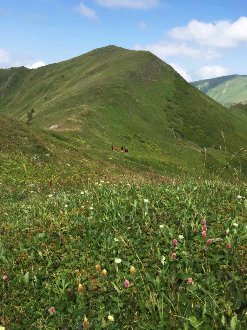
We have lunch at the end of the biggest climb, where the trees are thinning and the views are nice. Afterwards, one climbs up to the grazed meadows and follows them to the saddle in front of the Amarati peak (about 2350 m above sea level). If there was water and no cows, it would be a very nice place to sleep. This way you have to drop down to the left to an inhabited shepherd's hut. From it you can see the Amarati shelter in the opposite slope, above which is a nice plain for tents. The water is just below the shelter on the way. The positions are only approximate with the paper map.
Dates of the first day: 14 km; 1 350 m up, 350 m down.
2. day
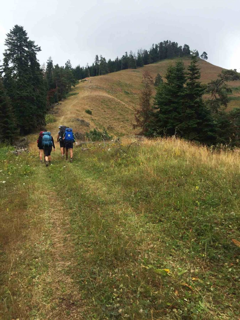
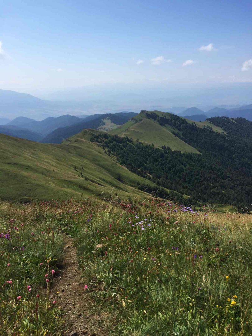
The next day we leave our tents set up on the plateau above the Amarati shelter - today we go light. We climb back up to the saddle on the ridge and continue northwards below Megruki mountain (2 475 m above sea level).
We follow goat trails through the pastures. The marked trail probably goes a little differently. However, after Amarati we connect to it and there is no problem with the marking.
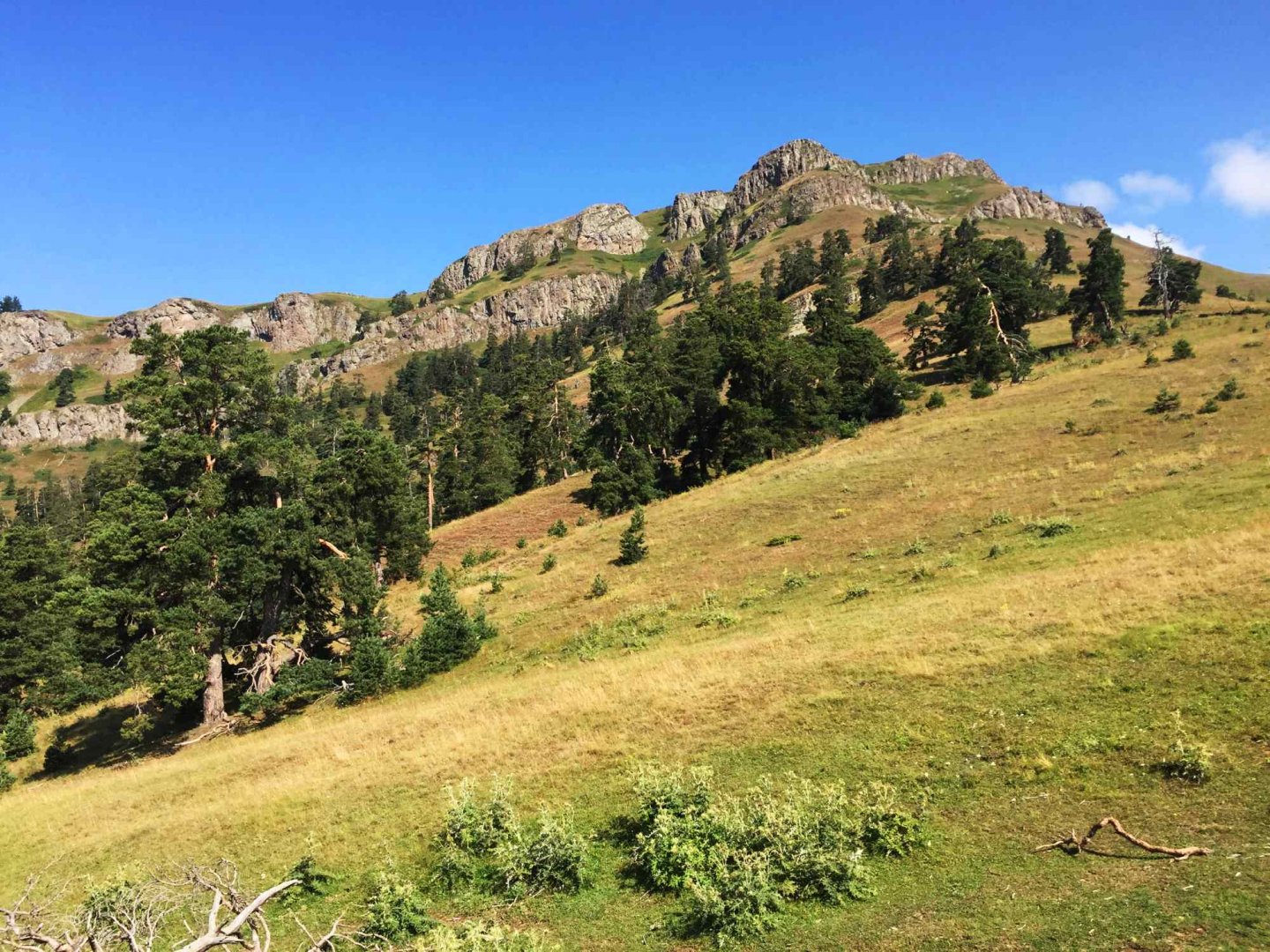
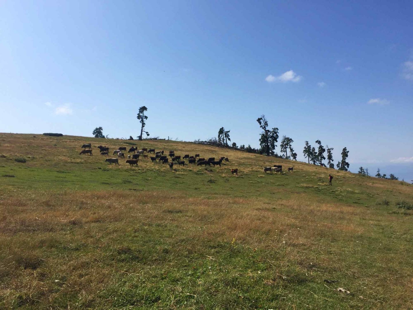
The goal was Samecchvario (2 642 m), but since we started late and the summit is in fog anyway, we end up on the previous mountain (about 2 550 m). Here we have lunch and return the same way. There was no water on the way, but we could sleep well in the saddles. The ridge is very nice and there are lots of grazing animals.
Dates of the second day: 14 km; 1 450 m up, 1 450 m down.
3. day
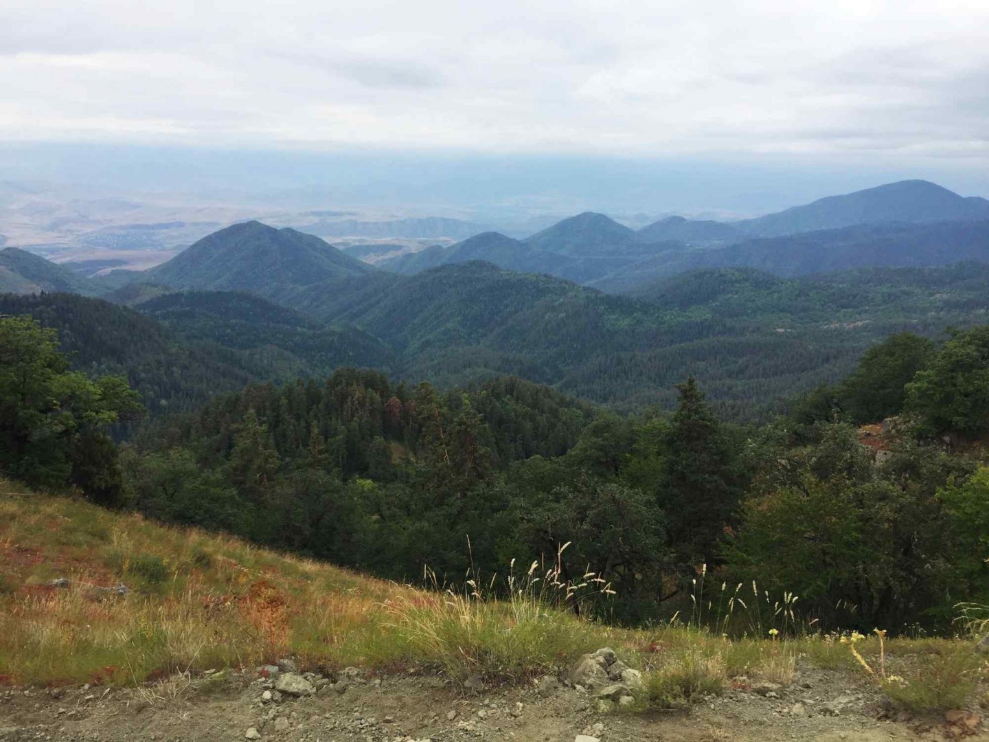
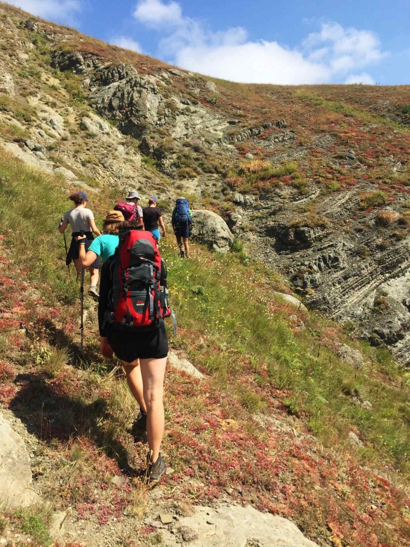
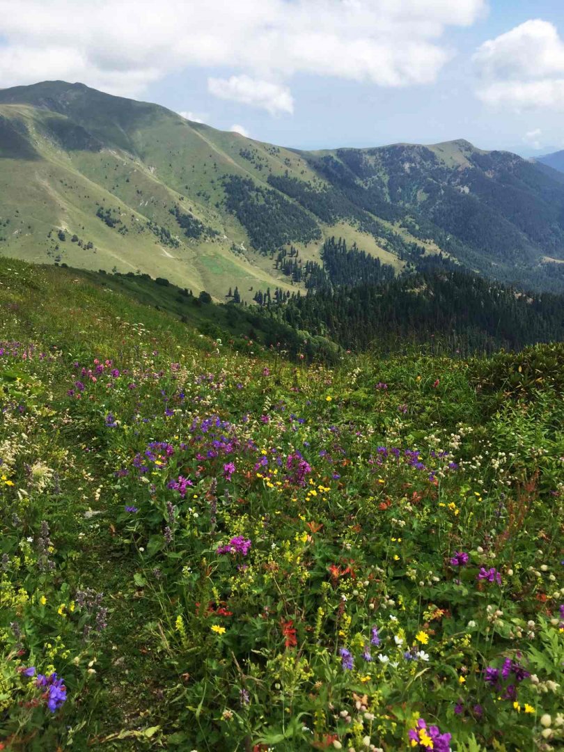
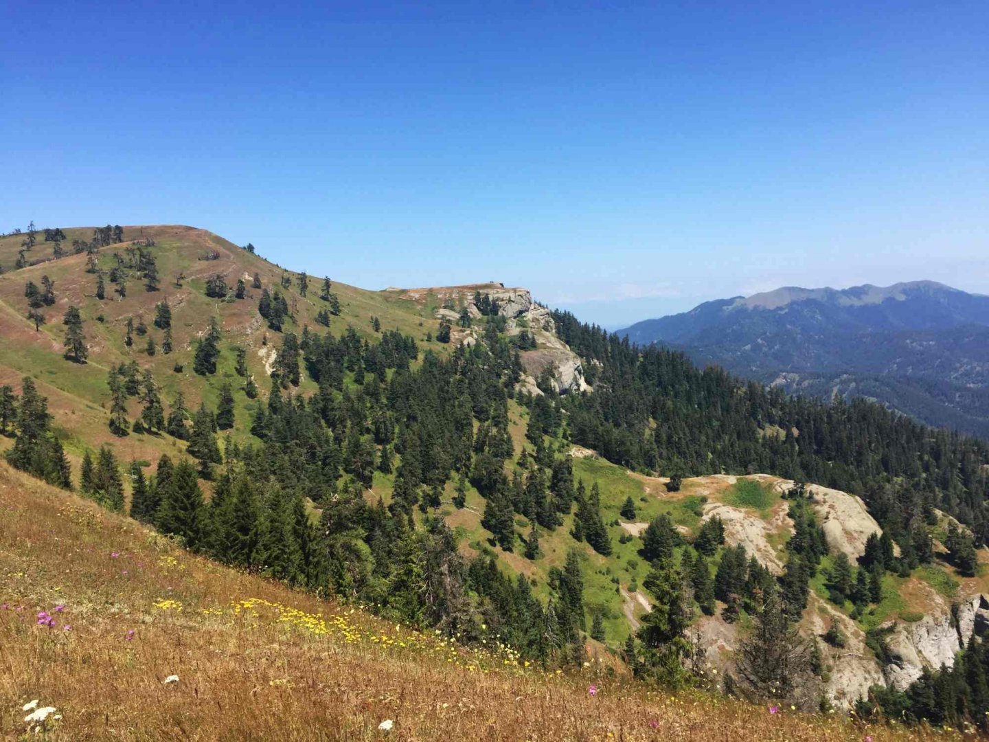
In the morning we start again up to the saddle. We continue in the same direction as yesterday, but immediately must turn right between the trees according to the blue sign. The trail is very well marked and leads through a traverse of the entire slope below the peaks of Megruki and Pikala (2422 m). The traverse is through individual couloirs under rock terraces, and as we often have to push our way through branches, it takes about two hours to reach the opposite saddle. From here we continue more or less along the contour along the ridge through the forest in a southeasterly direction. Then the forest ends, the trail turns south and we walk through beautiful meadows with amazing views. This goes all the way to the Ochora peak (2107 m), where we turn right and start descending steeply through the forest. At the end of the ridge we are just in time for lunch.
The descent passes quickly and soon we are at the river - the first water of the day. This is crossed and, somewhat foolishly, we climb some more to join the familiar trailhead. After this we drop down to the bezoar goats (they weren't there again) and pitch our tents at the guard house (where the trail ends). We leisurely make our way along the track to the village of Atskuri. Although we arrive in the village late in the afternoon, the shops are open and we have no problem shopping. We bathe in the river in the village and walk back to our campsite. On the way we witness a thunderous parade of Georgian soldiers. We cook in the gazebos near our campsite and fall asleep to the sounds of the disco from the neighbouring camp. The next morning we just walk down to the road and take the shuttle away.
Difficulty
Technically, the transition is not too demanding. The trails are well marked and well trodden. They lead through the forest and over mountain meadows. We did not encounter any rocky terrain, rubble or exposed sections during the whole time. Even so, the trails are very narrow and steep in places, so proper alpine footwear is necessary.
Water availability
By visiting the visitor center, you'll always know where you can count on water (it's usually always at the campground in the evening). For those who are sensitive to water quality, I strongly recommend using water filters here. Water sources are often near pastures and cattle drink from them.
Sleeping options
Sleeping is only allowed in designated camping areas. These are spaced just enough to allow one day's travel between them. We slept in a tent, but at the visitor center it is possible to pay to sleep in small shelters and walk the transition lightly.
Danger
During the transition, you need to be especially careful of the hot southern sun. You also need to be wary of the herding dogs that proudly defend their herds.
Attractions
Along the way you can come across a reserve of goats without oars (we didn't see them, unfortunately). The spa town of Borjomi is definitely worth a short tour.
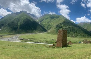
Borjomi National Park particularly impressed me with its great organization, which is highly unusual in these parts - you have to pay to enter (rather symbolic price), register and discuss your trip with a park ranger. This is probably due to the fact that the marking of trails and the construction of shelters was financed by EU countries (mainly Germany). However, this ensures that only responsible hikers get into the mountains, so the mountains are not overcrowded, the trails are in good condition, and there is no trash lying around. The mountains clearly benefit from this system.
Photos