Mountain range, region / State
Hochschwab / Austria
Season
Spring
30. 05. - 01. 06. 2008
Difficulty
2 / 5
Elevation
↑ 2129 m
↓ 2134 m
Length
27.5 km
3 days
Altitude
max. 2277 m n.m.
min. 916 m n.m.
Tourist map of Hochschwab range in Alps
Tips for hikes in the mountain range Hochschwab
Climb to Grosser Buchberg in the foothills of the Hochschwab
Trek to Krautgartenkogel in the Hochschwab
A fair mountain climb up the Hochturm
Light three-day circular hike on the Hochschwab ridge
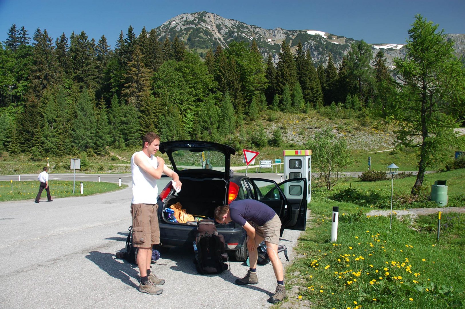
Starting point
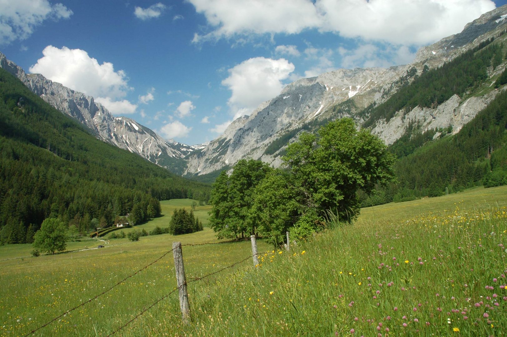
The car park above the village of Seewiesen in the Seeberg Sattel, which lies on the connecting road between Mariazell and Kapfenberg.
Description of the hike
1. day
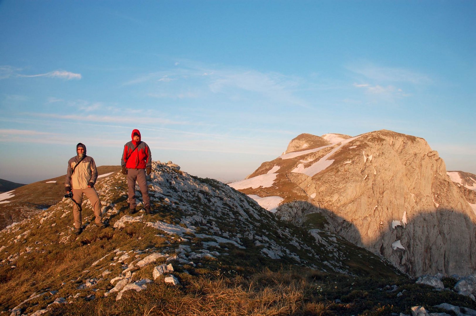
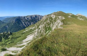
After an early morning arrival at the parking lot above the village of Seewiesen, we followed the marked trail No. 855, which crosses the face of the Hochschwab mountain range and takes us up to its plateau.
The road continues comfortably along the alpine meadows and it is entirely up to you whether you choose a peak to climb or continue comfortably along the trail. Without the slightest problem, we reached the crossing of routes 853 and 850 below the Hutkogel mountain. Here we pitched our tent.
2. day
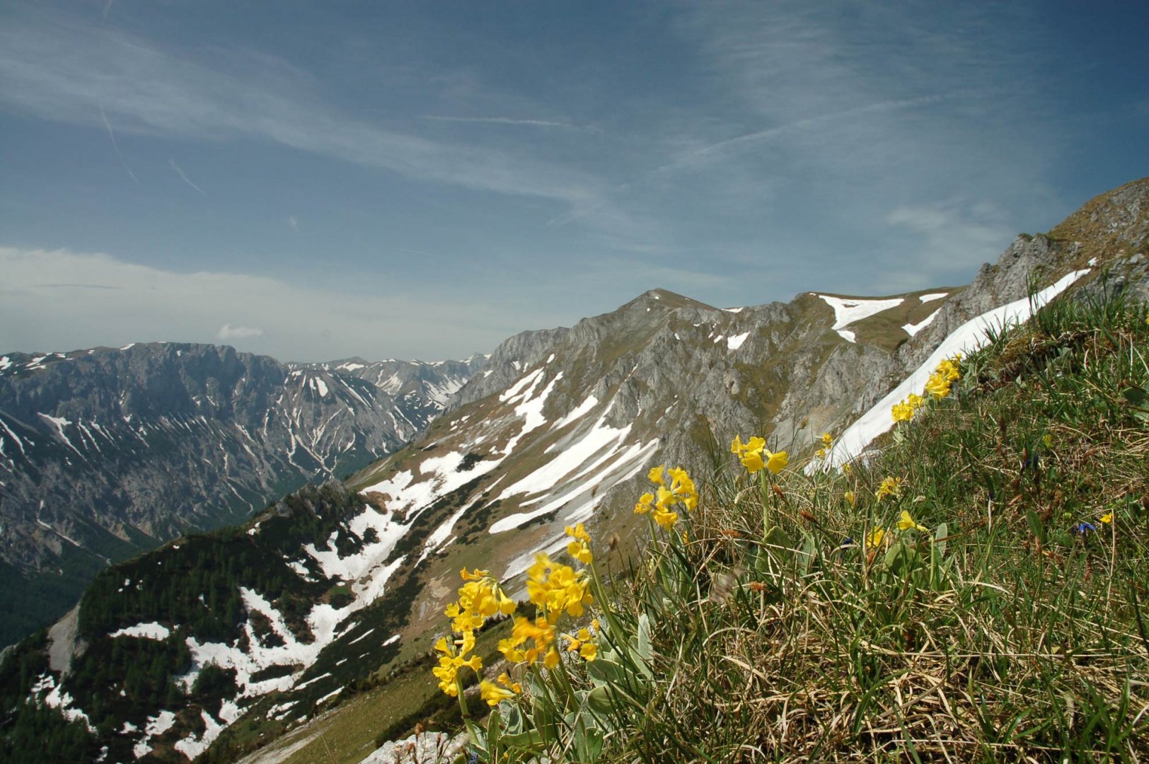
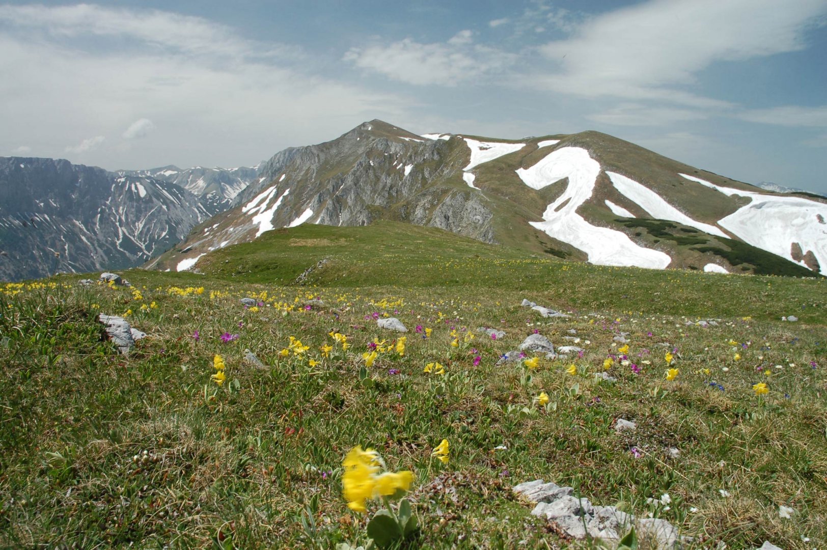
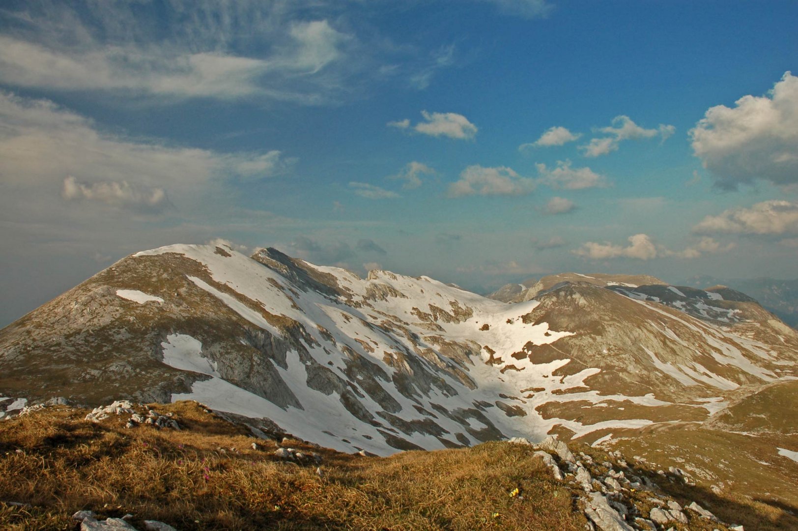
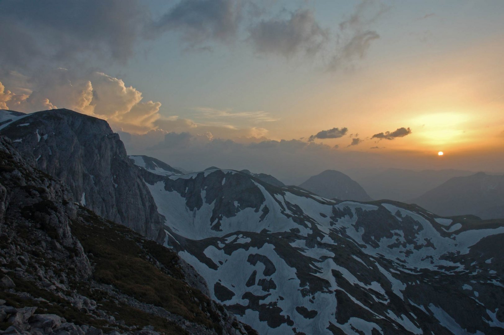
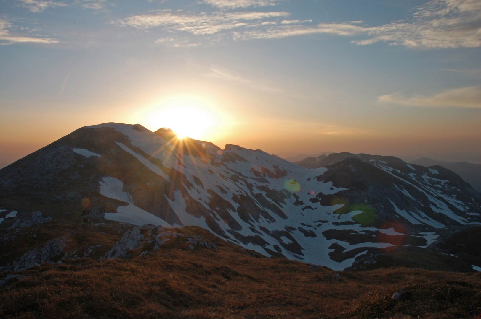
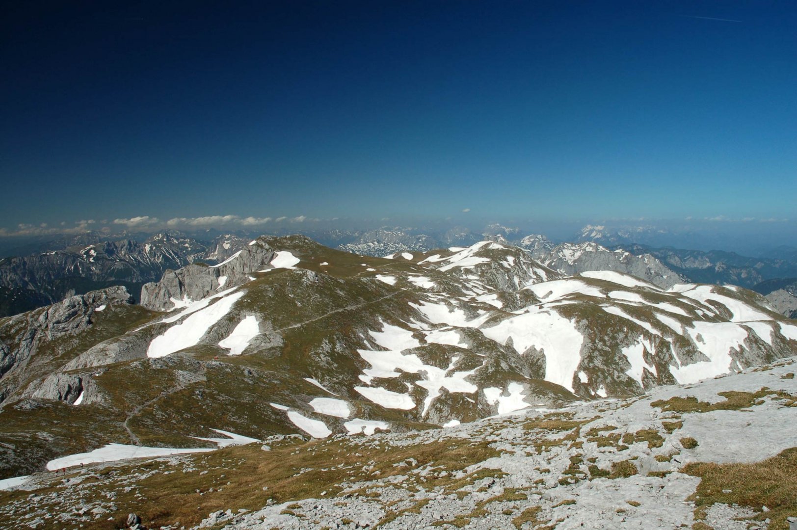
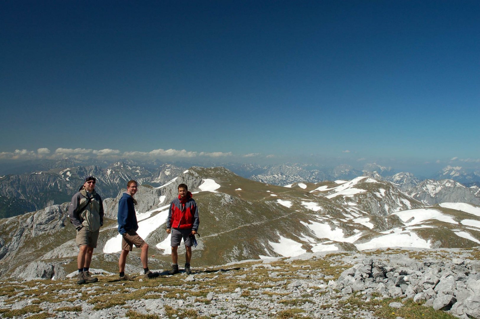
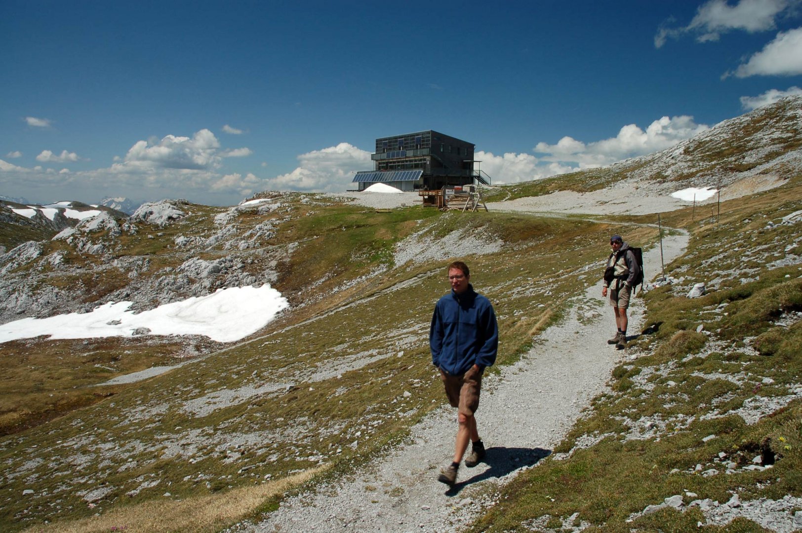
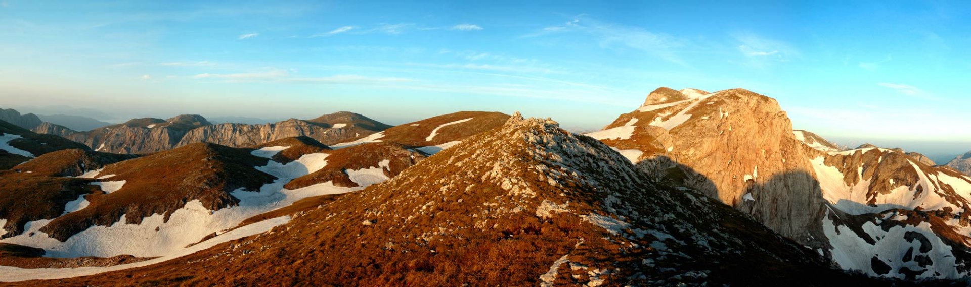
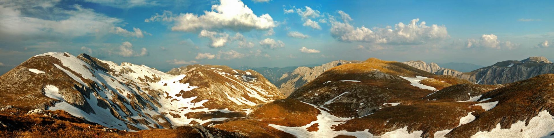
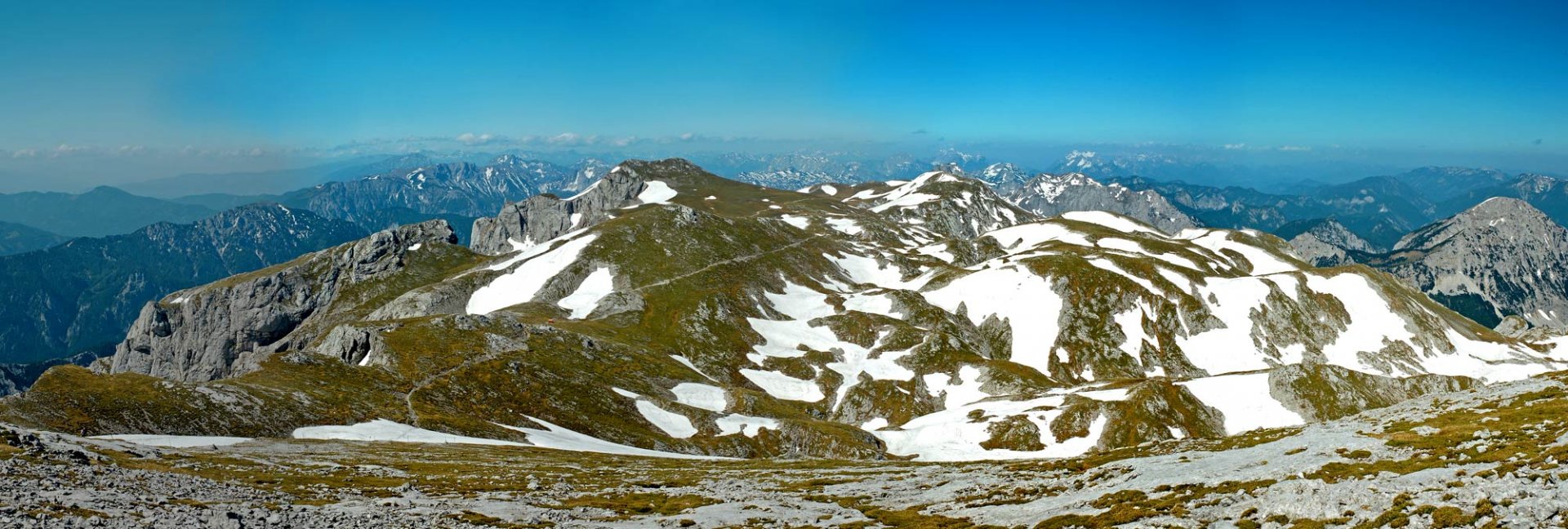
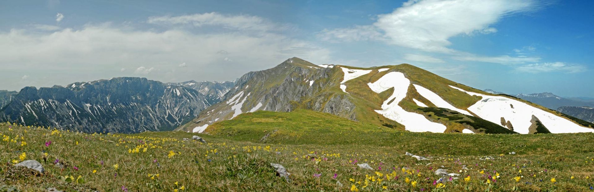
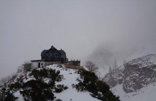
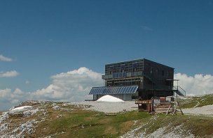
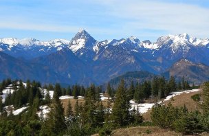
On the second day we continued along the path No. 853 to the Schiestl Haus hut and from there we ran up to the highest peak of the entire Hochschwab mountain range, the eponymous Hochschwab 2 277 m above sea level. The view is truly magnificent, uninterrupted by anything. In good weather you can see the Dachstein.
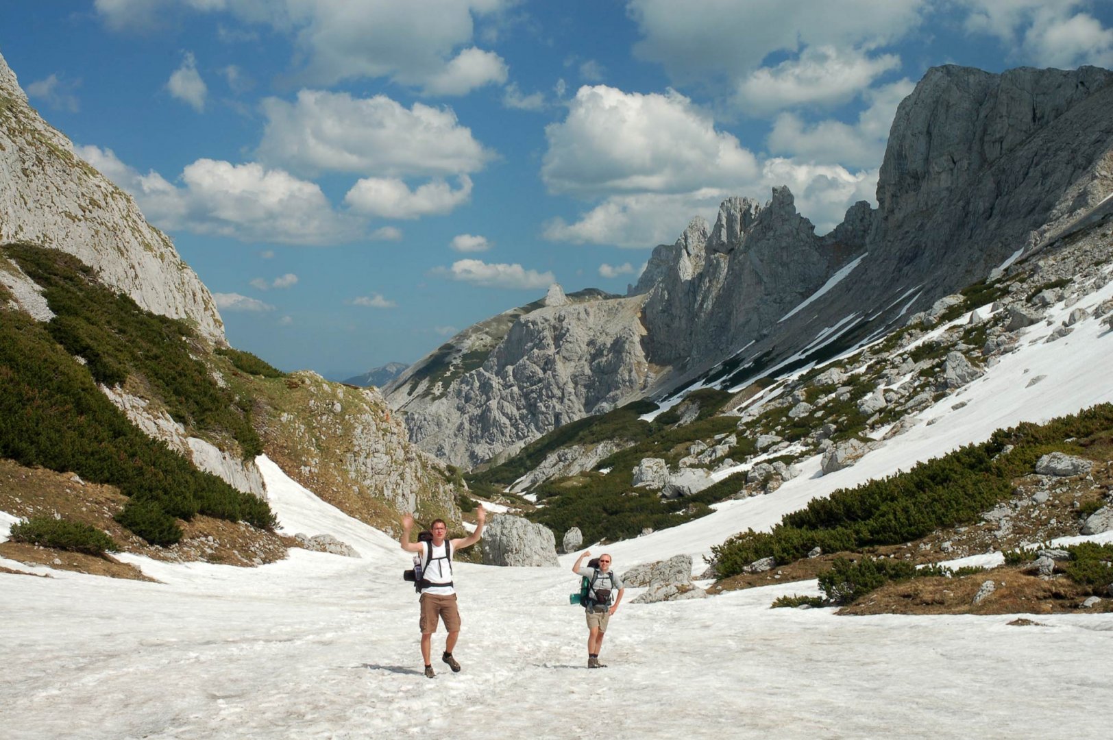
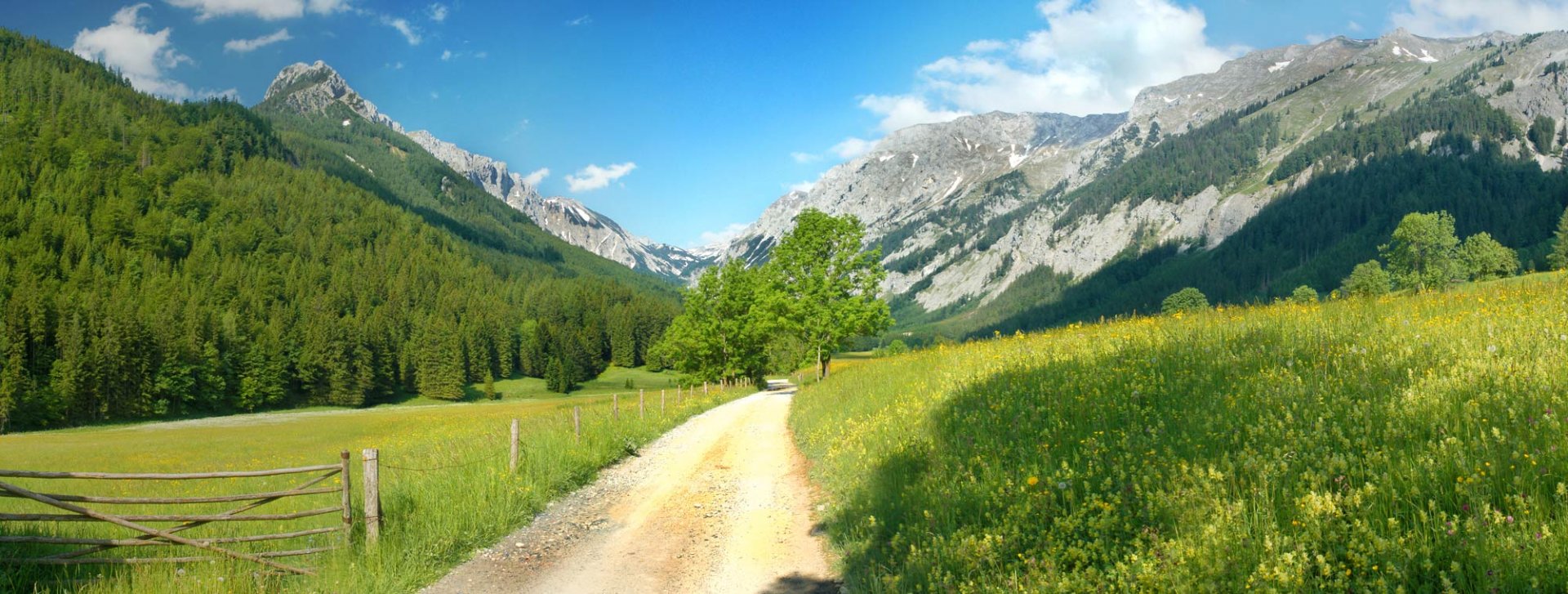
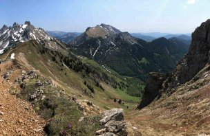
From the summit we descended back to the Schiestl Haus hut and continued our descent along the Graf Meran Steig, which led us to the beautiful mountain basin of Obere Dull witz. After a comfortable path we reached the Voistahler Hütte hut,where we had a rest. We then continued our descent towards Seewiesen and pitched our tent at the beginning of a meadow in the valley.
3. day
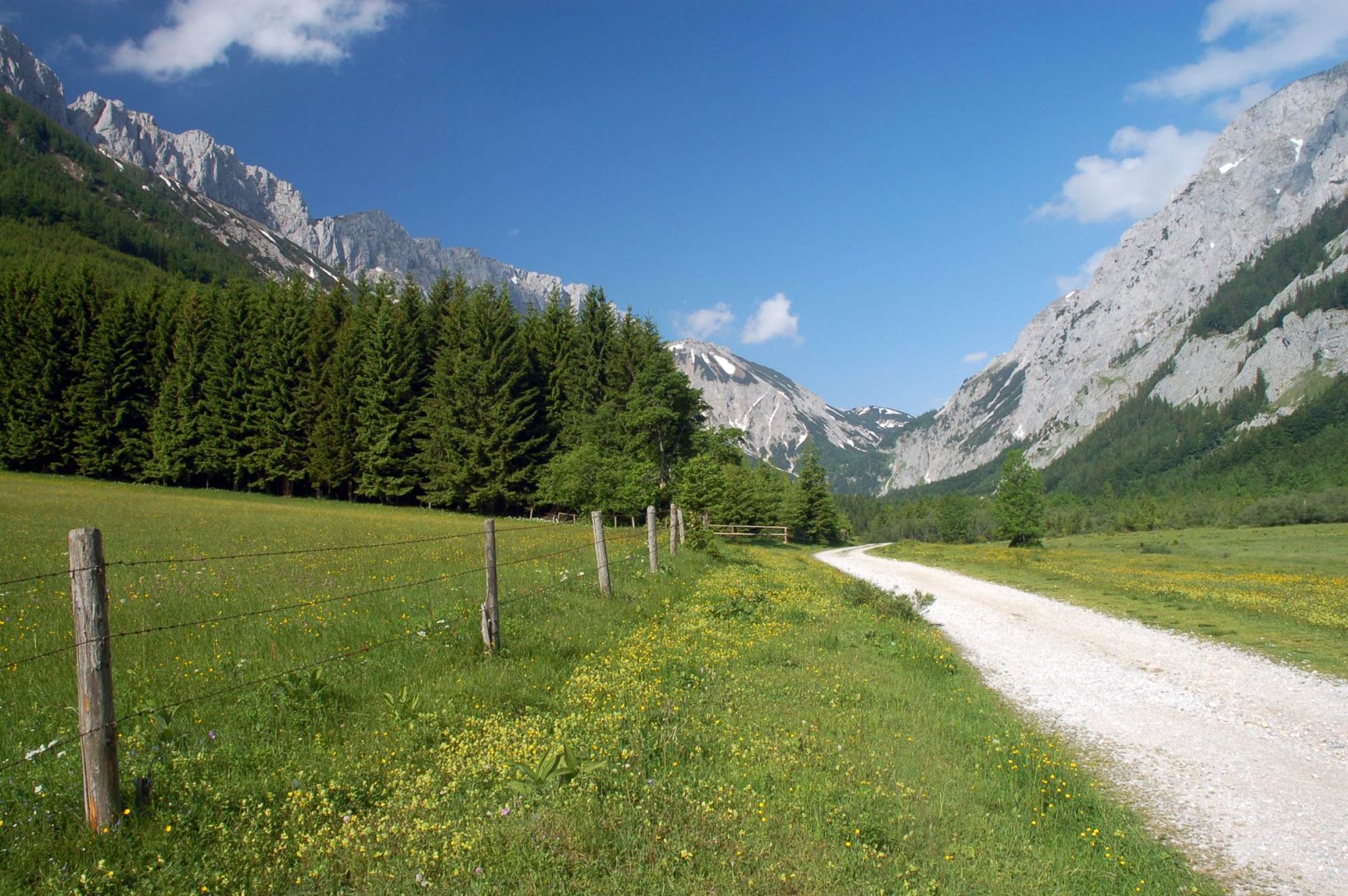
In the morning we just walked along a comfortable road in the valley to the village of Seewiesen. One member of the group ran lightly to get the car in the parking lot above the village and drove to the village to get the rest of the group. Then it was back to the Czech Republic.
Difficulty
A classic crossing of the mountains with heavy equipment (sleeping bags, tents, food, water, clothes) on mountain trails and alpine meadows. There is no technically difficult section.
Water availability
There is no water anywhere on the ridge, the only way to get water is at the Schiestel Haus and Voisthaler Haus huts.
Sleeping options
The first night we pitched our tent at the foot of the Hutkogel mountain, the second night we spent in a meadow in the valley leading back to the village of Seewiesen.
Mountain peaks
During our trip we climbed the following peaks - Krautgarten Kogel 1 988 m above sea level, Severin Kogel 2 030 m above sea level, Hutkogel 2 035 m above sea level and Hochschwab 2 277 m above sea level.
Especially from the top of the Hochschwab, there are magnificent views of the surrounding mountain ranges - the Enntal Alps, the Seckauer Tauern and also the Dachstein. To the east, the Veitschalpe, Raxalpe and Schneealpe can be seen.
Danger
There is no dangerous section on the route. The route is safely on trails or alpine meadows. Only the descent into the Obere Dullwitz mountain basin is more difficult, but even this part of the route is without problems.
Food
The mountain huts Schiestl Haus and Voisthaler Hütte offer an extensive menu in season, but we settled for cooking in the tent.
Attractions
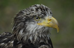
The Hochschwab Mountains in Alps are a site of European importance for chamois. It is almost impossible not to see them.
Photos