Mountain range, region / State
Totes Gebirge / Austria
Season
Summer
25. 08. 2024
Difficulty
3 / 5
Elevation
↑ 873 m
↓ 873 m
Length
7.3 km
4 hours
Altitude
max. 1755 m n.m.
min. 959 m n.m.
Tourist map of Totes Gebirge in Austria
Easy rocky hike from the Tressensattel saddle to the Trisselwand mountain
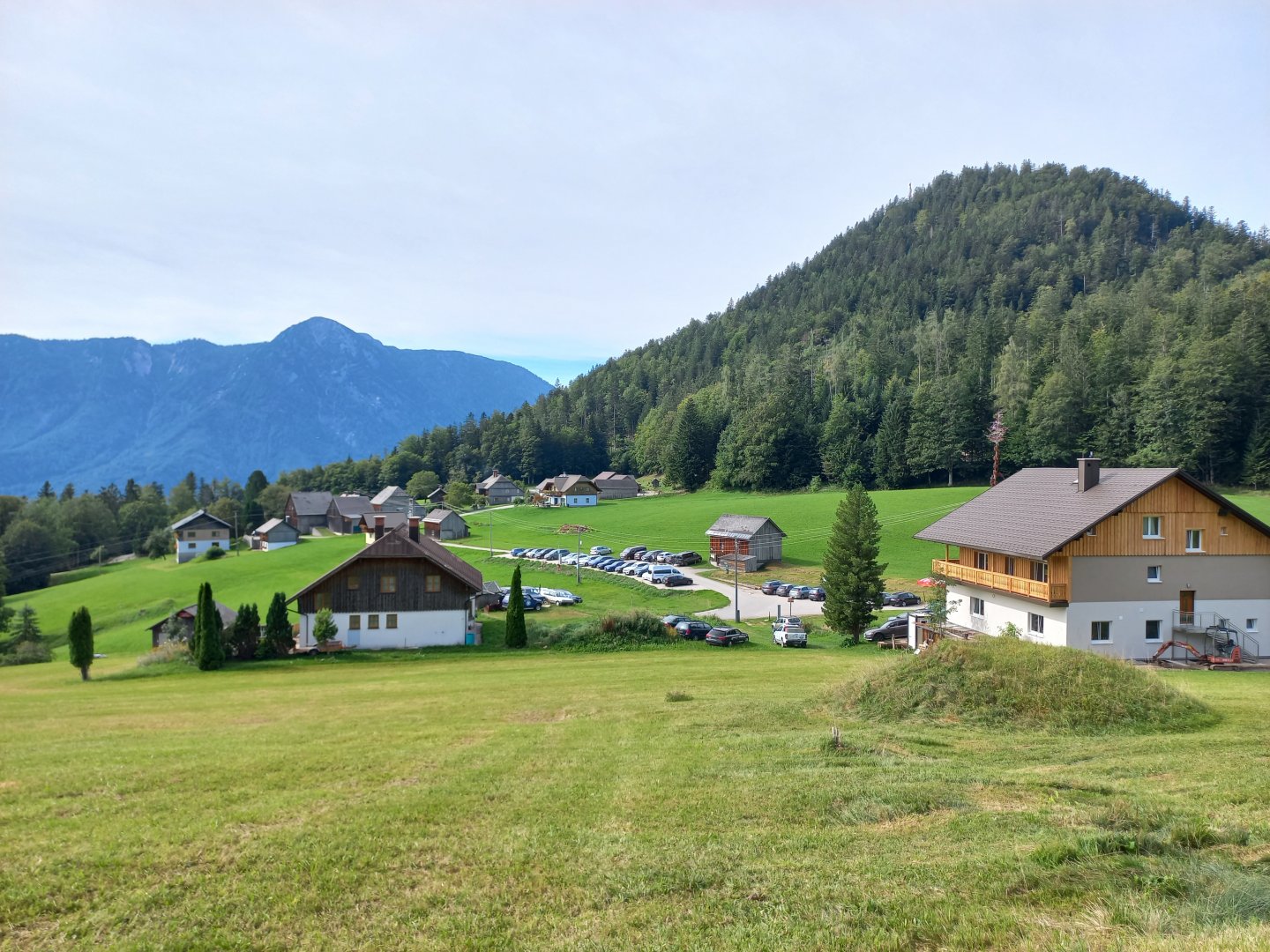
Starting point
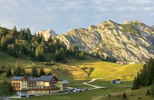
Saddle Tressensattel above Bad Aussee, access from Grundlsee, parking is paid (8 € / day in 2024).
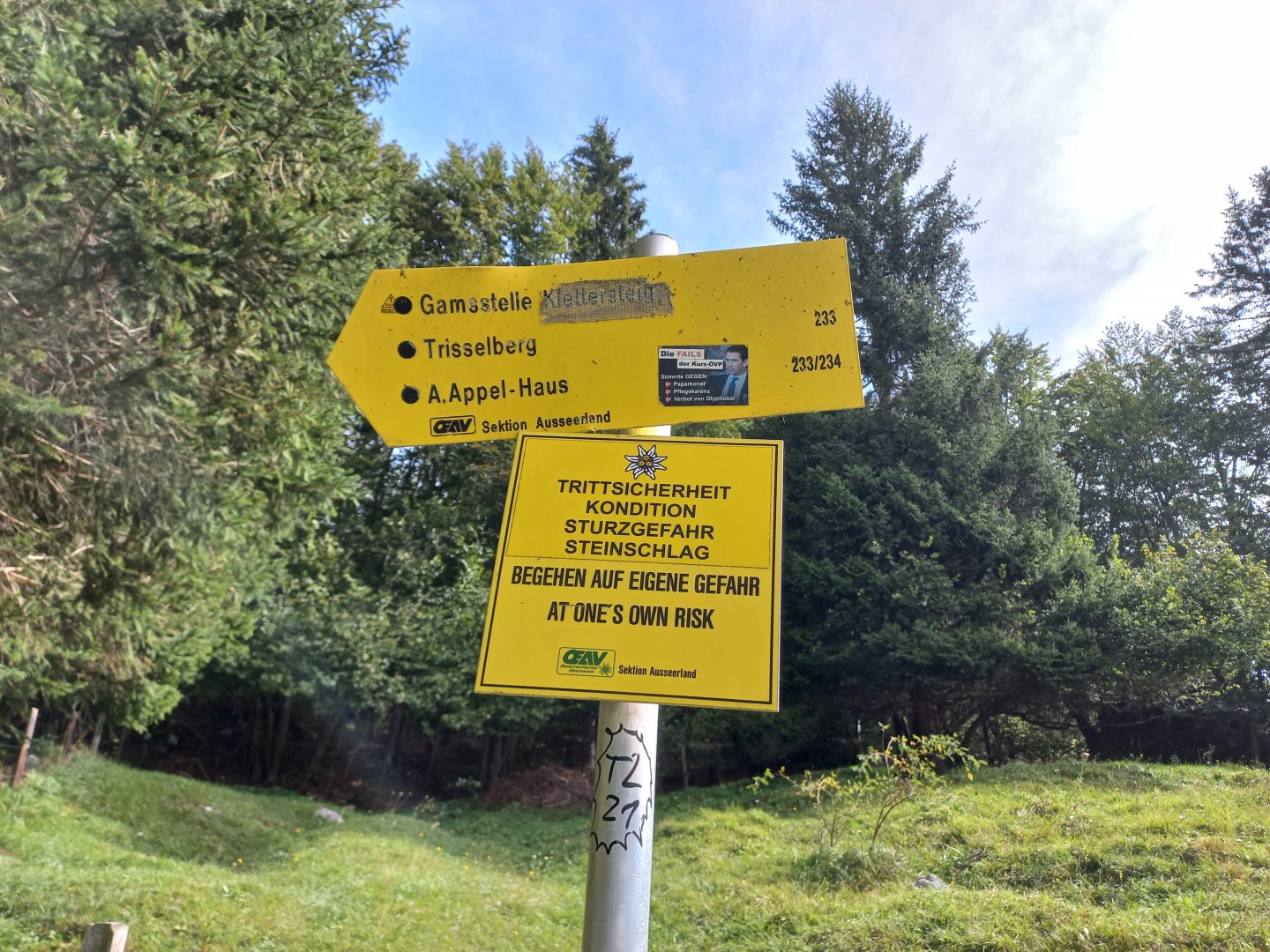
Description of the hike
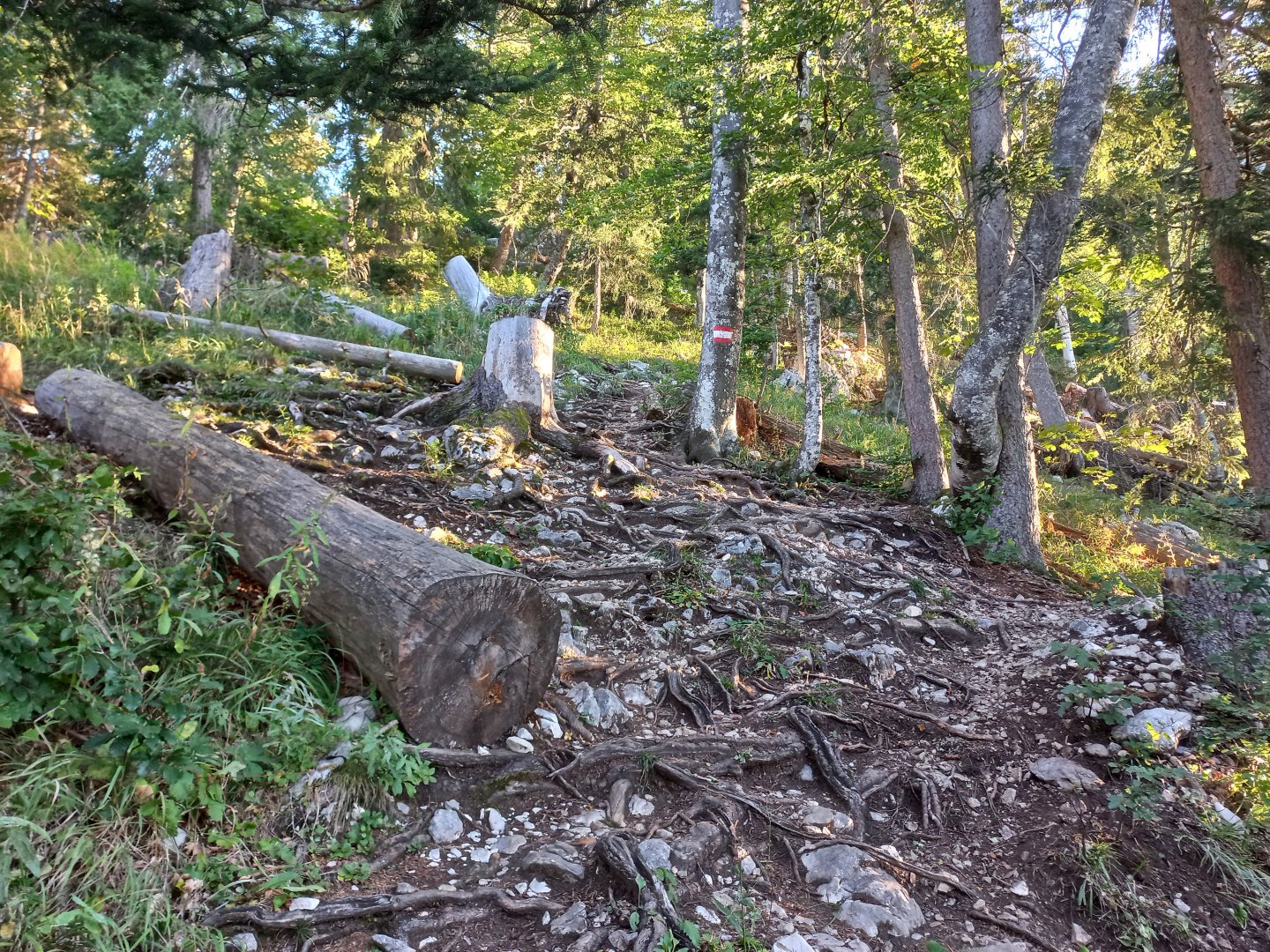
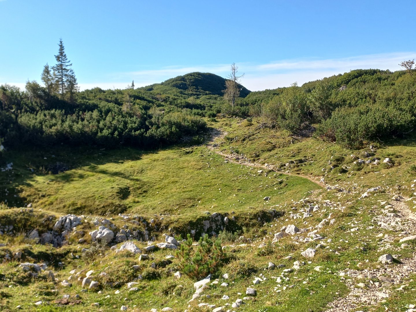
From the car park the path leads briefly across the meadow above the Trisselblick Inn, then continues up the narrow forest paths. There are no exposed spots here, just the surface is occasionally uneven, gravel and loose stones slipping underfoot, trekking poles will certainly help.
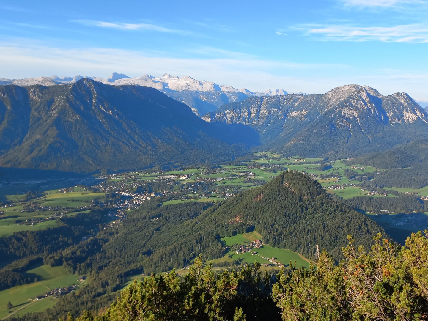
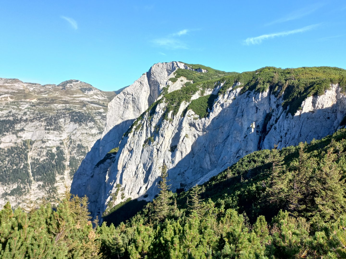
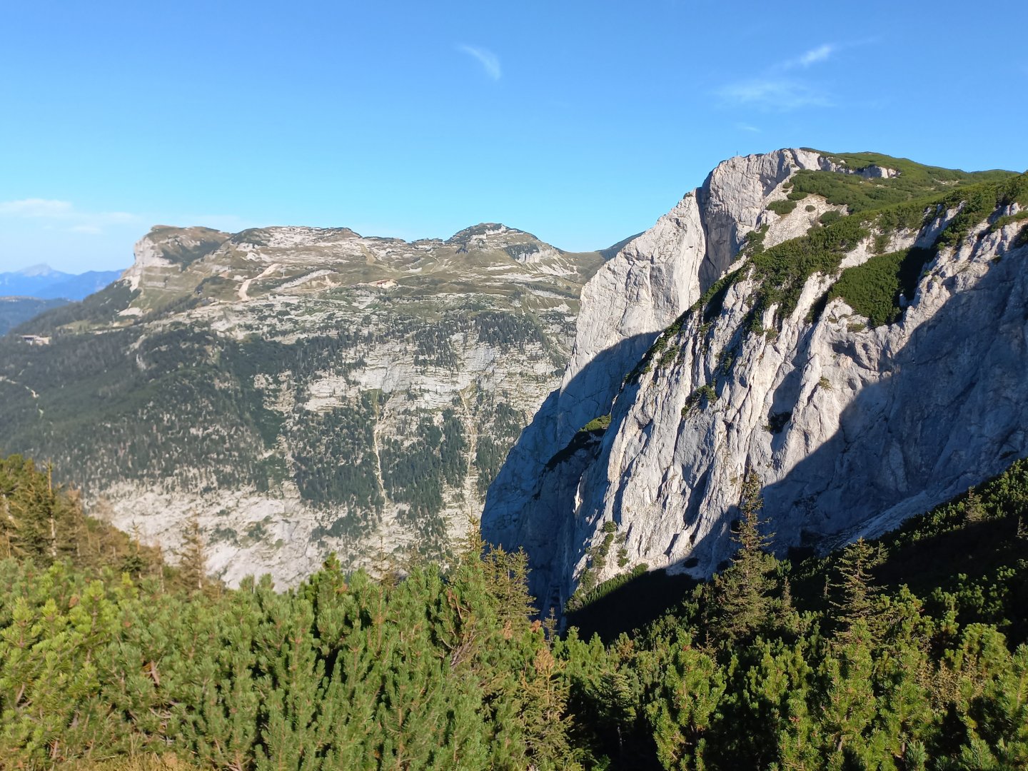
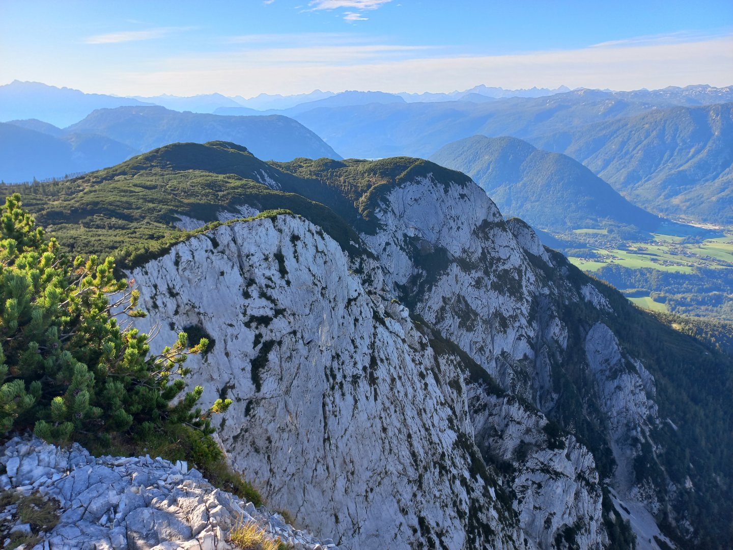
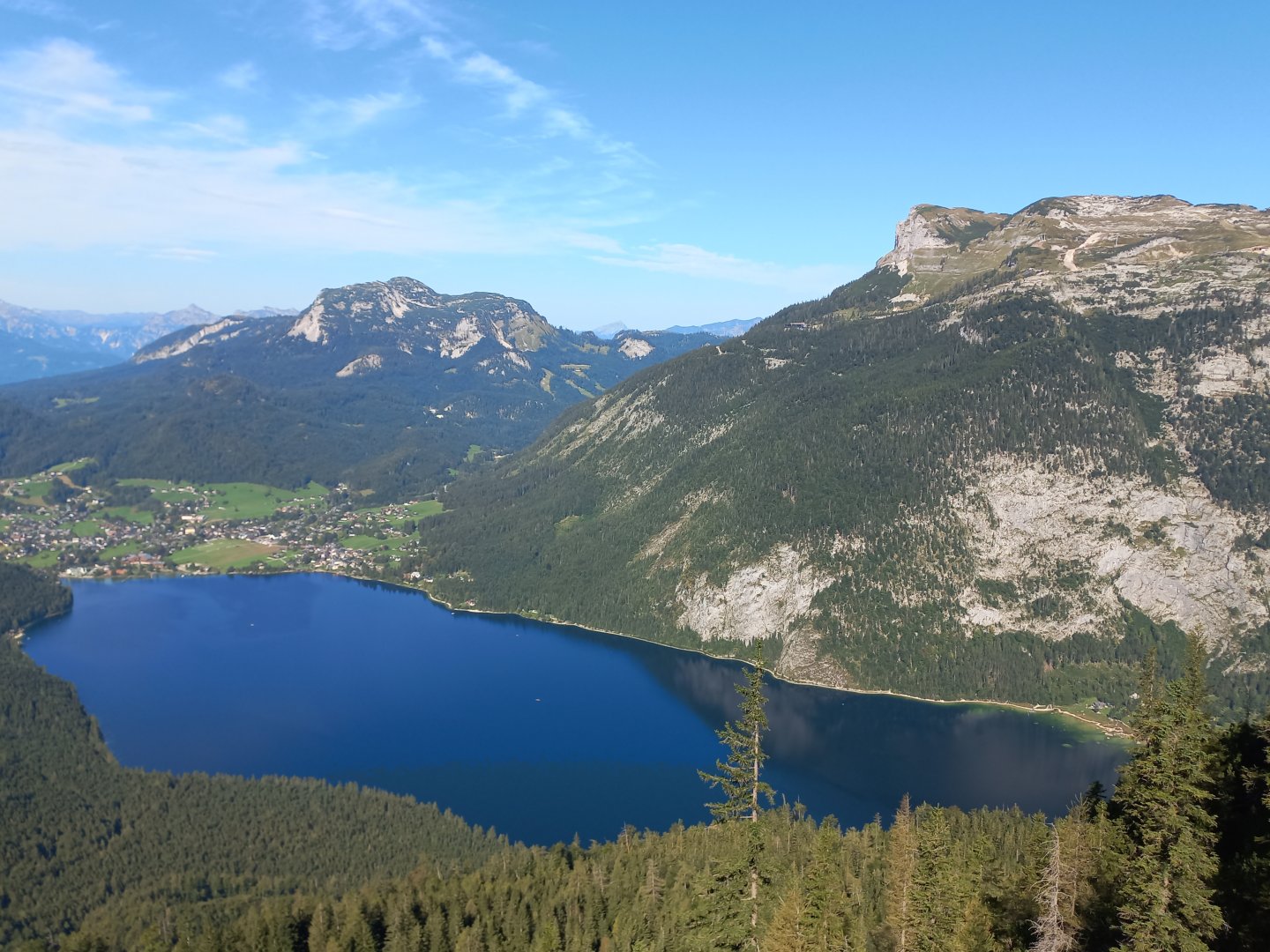
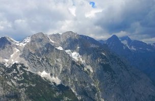
The trail is well marked, there is nowhere to get lost. At around 1,300 m, the forest turns into a slash-and-burn forest and you can fully enjoy the views - first to the opposite Tressenstein (1,201 m above sea level). ) with the wooden lookout tower Tressensteinwarte, then the mountains above Bad Aussee - the Zinken from the south, the Dachstein massif with its glacier on the north side, the Hoher Sarstein above Lake Hallstadt, the Sandling and Loser to the west, the Totes Gebirge to the north and east and the Grundlsee, known as the Styrian Sea.
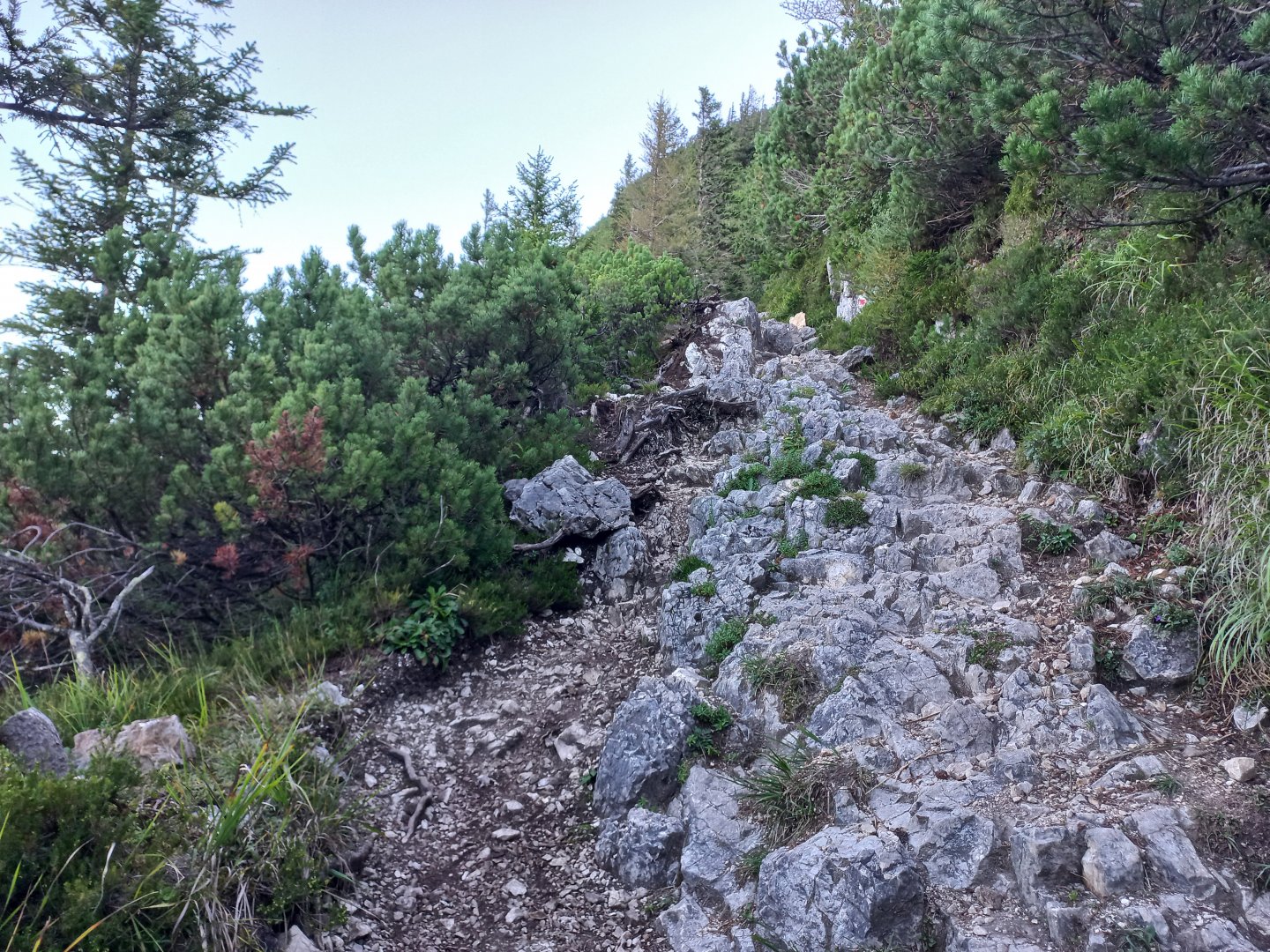
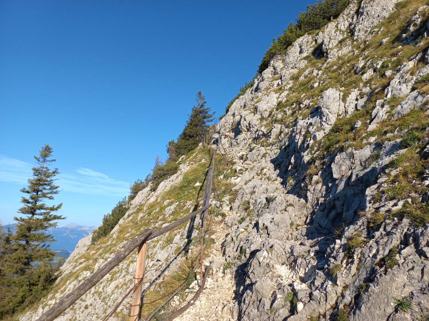
The trail is more rocky, at one point near the rock there is a fixed rope belay and a railing, but it is not very strong. It is not a ferrata, even the rope itself is more for a good feeling, it is not necessary. The path continues to pass between the rocks and kneels and straightens out towards the top.
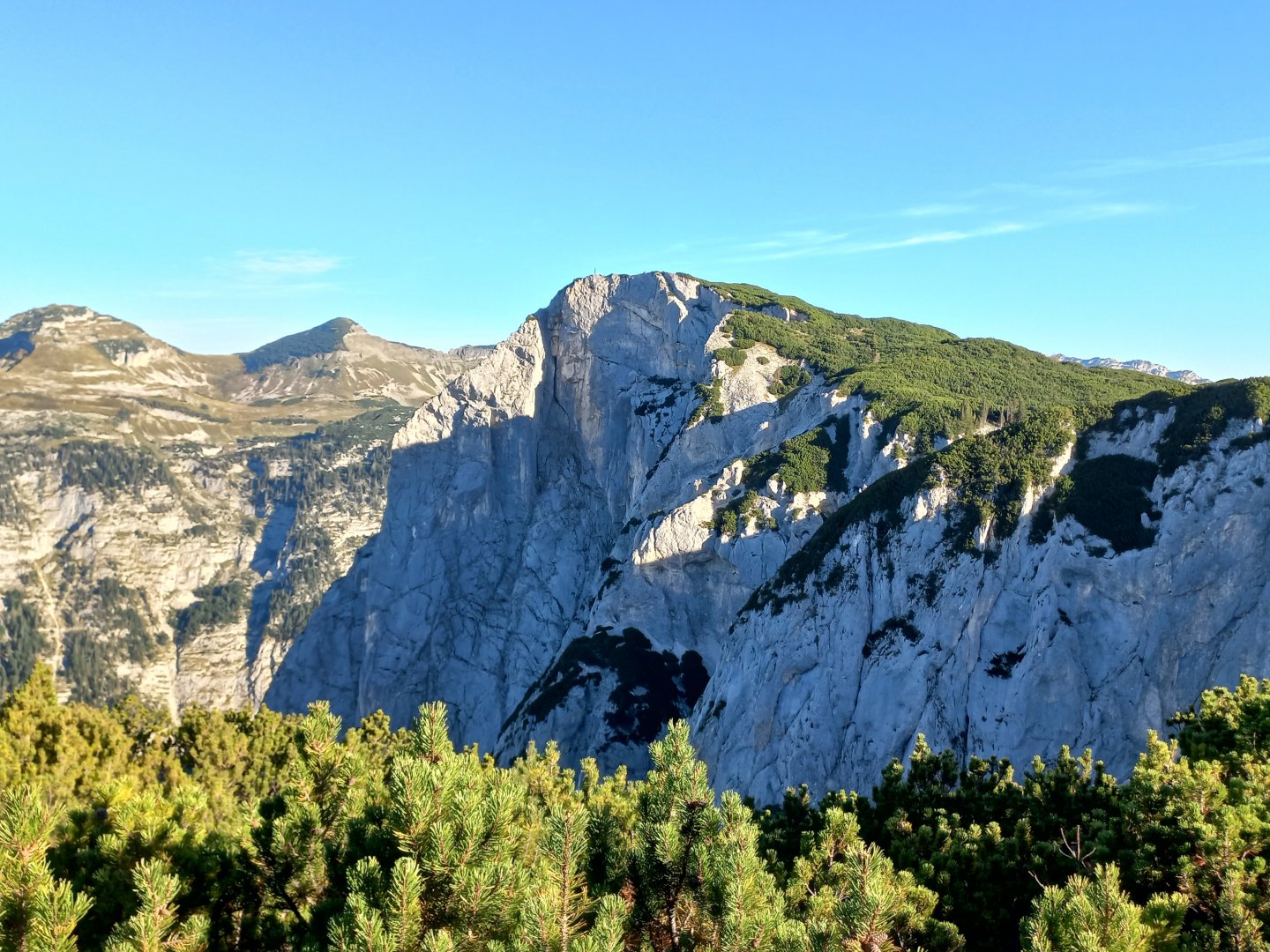
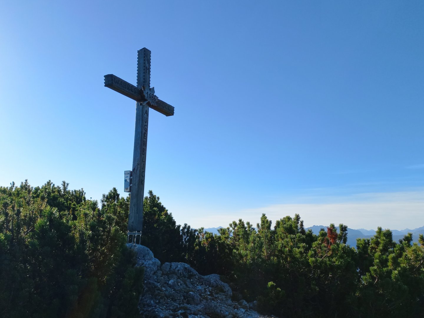
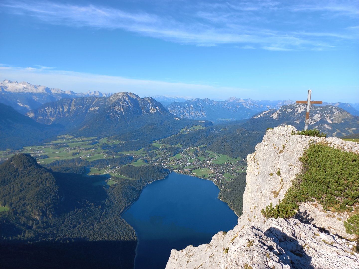
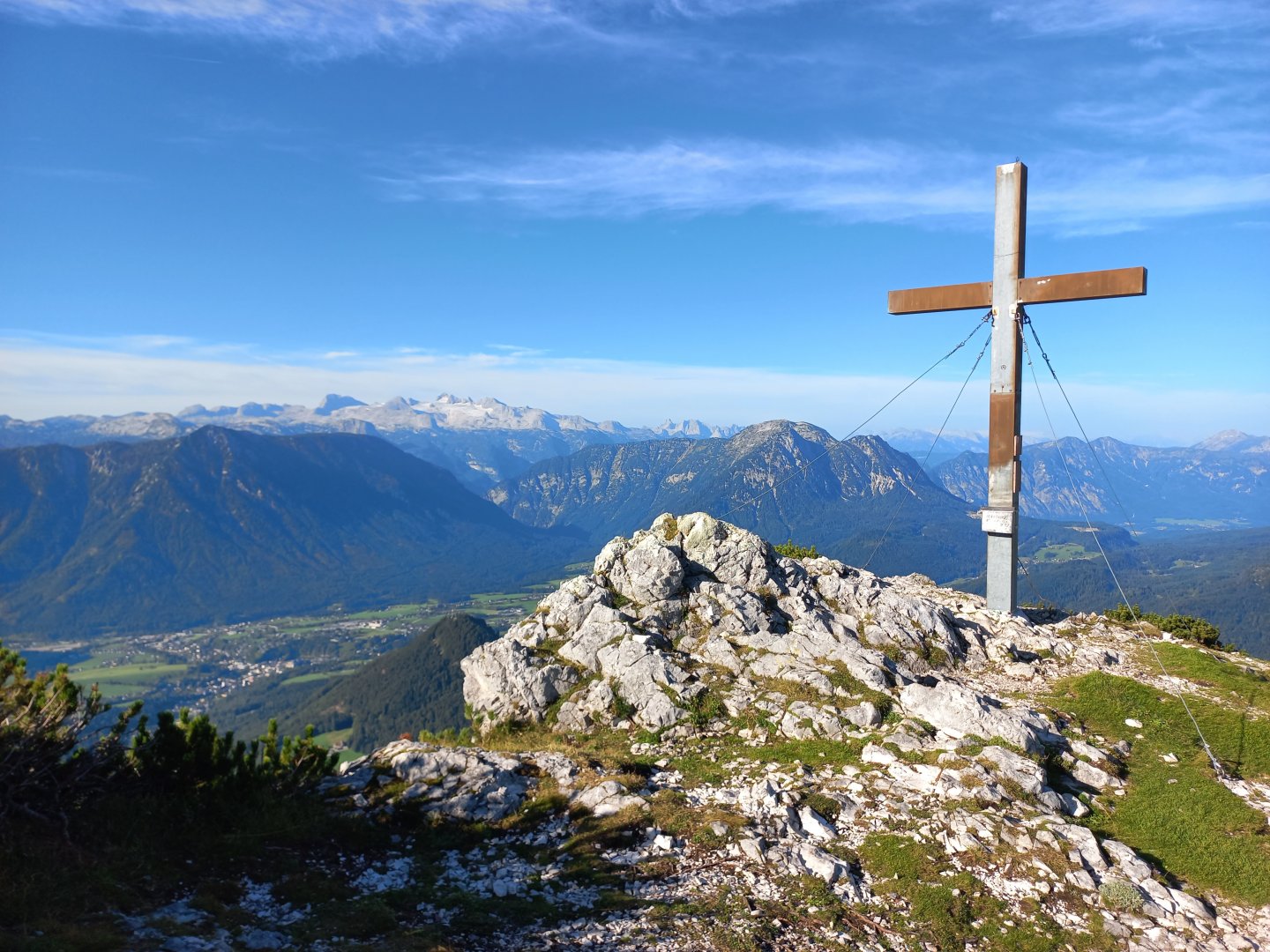
It is possible to make a short detour to the Ahornkogel (1 687 m) to a wooden cross. After Ahornkogel, the trail then continues just a gentle climb across the meadow to the final passage and the summit cross of Trisselwand (1,755 m). From the top there are fantastic views of the blue lake, the surrounding mountains, the limestone walls and the scrape landscape of the Totes Gebirge. I return by the same route.
Difficulty
Trisselwand is a massive limestone wall that rises above the Austrian lake Altauser See. It is relatively easy to climb from the car park in the Tressensattel saddle. The path leads along a marked hiking trail.
Beware, the trail has an unstable rocky surface, it is necessary to have appropriate sturdy ankle boots, do not step here from the lake in flip-flops or sneakers. The trail can be managed by more able-bodied school children.
Water availability
Take water with you - there is no possibility to get water on the way. For us 1 liter of water per person was enough. Alternatively, there is the possibility of refreshments at the beginning of the route at the Trisselblick Inn.
Mountain peaks
On this route you will climb two peaks - the first is Ahornkogel 1 687 m above sea level and the second is Trisselwand 1 755 m above sea level. In good weather, which I had, you can enjoy views of Dachstein, Totes Gebirge, Salzkammergut for a large part of the trek.
Danger
There are no exposed sections on the route - only one spot has a fixed rope, more for a good feeling. Due to the rocky terrain, it's good to have at least some experience with alpine terrain. There are no objective dangers here for the average experienced hiker.
Food
Be sure to bring your own food and snacks. You can then eat at the Trisselblick Inn in the Tressensattel (the starting point of the trek) or, of course, in the town of Bad Aussee.
Photos