Mountain range, region / State
Arménská vysočina / Armenia
Season
Summer
18. 07. 2019
Difficulty
3 / 5
Elevation
↑ 896 m
↓ 896 m
Length
11.0 km
7 hours
Altitude
max. 4001 m n.m.
min. 3196 m n.m.
Tips for hikes in the mountain range Arménská vysočina
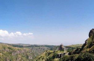
High mountain hike in the Aragats massif to Amberd Fortress
Reaching the top of Armenia's highest mountain - Aragats, from Lake Kari
Starting point
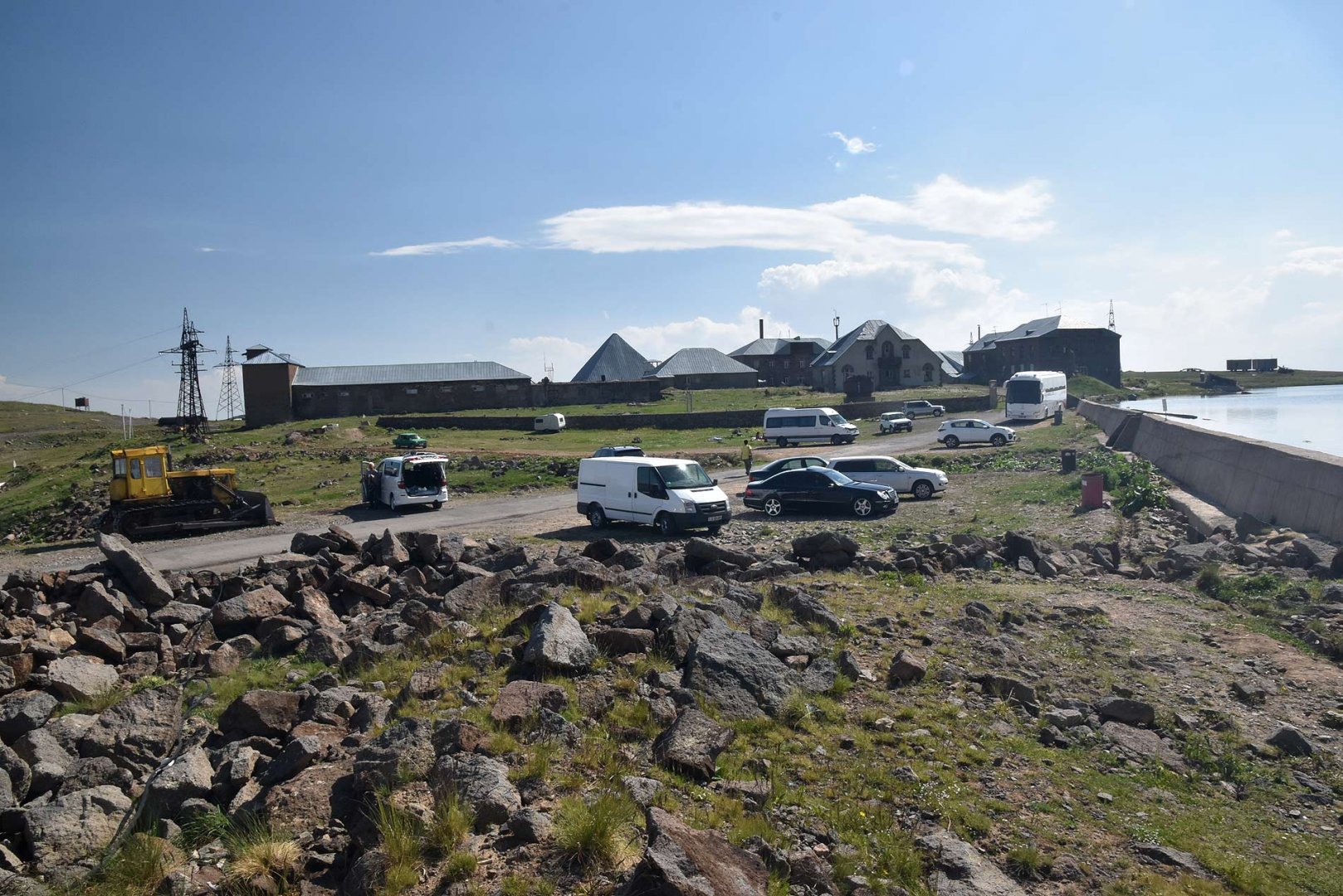
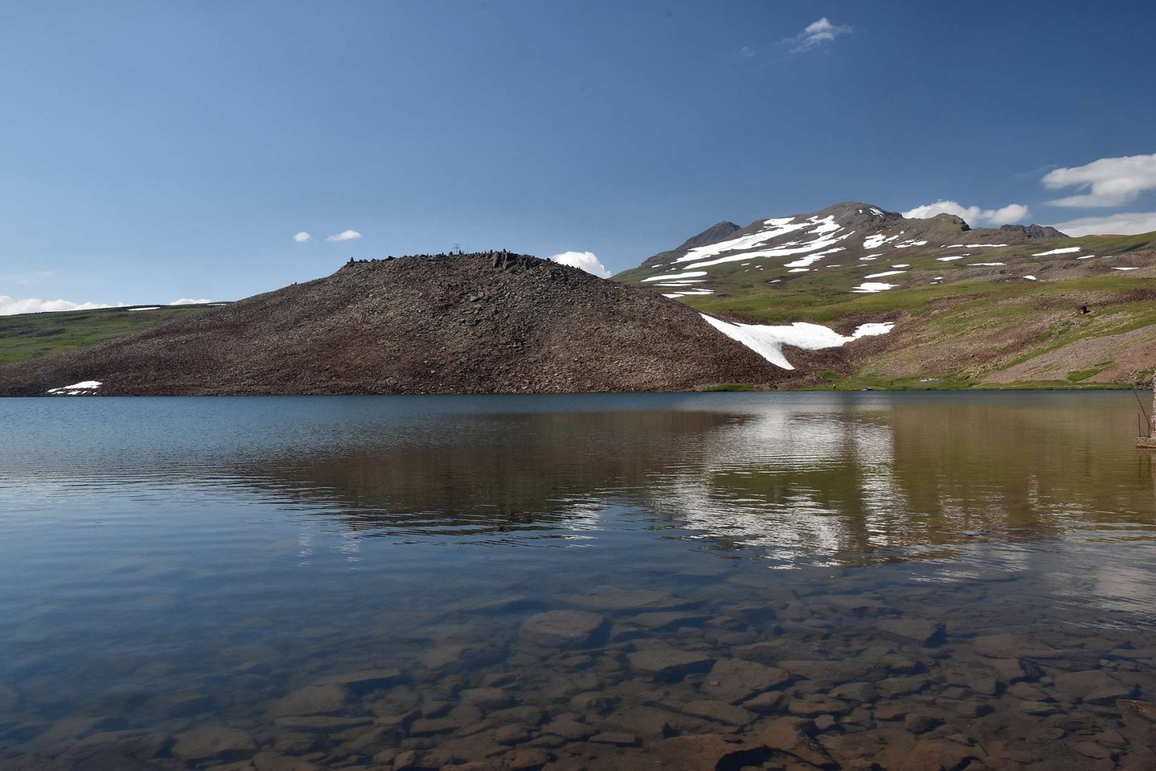
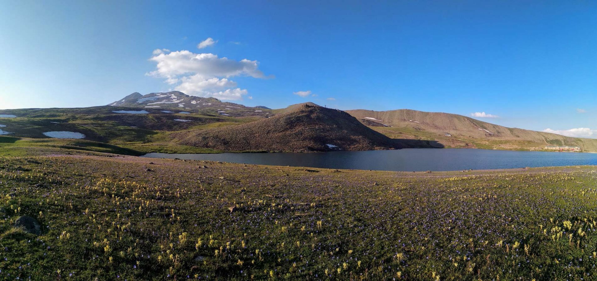
Lake Kari lake on the south side of Mount Aragats. The lake is located at the end of the road at an altitude of about 3 200 m above sea level leading from the town of Byurakan. There is also a small hotel with a restaurant by the lake. Lake Kari can be easily reached by taxi.
Description of the hike
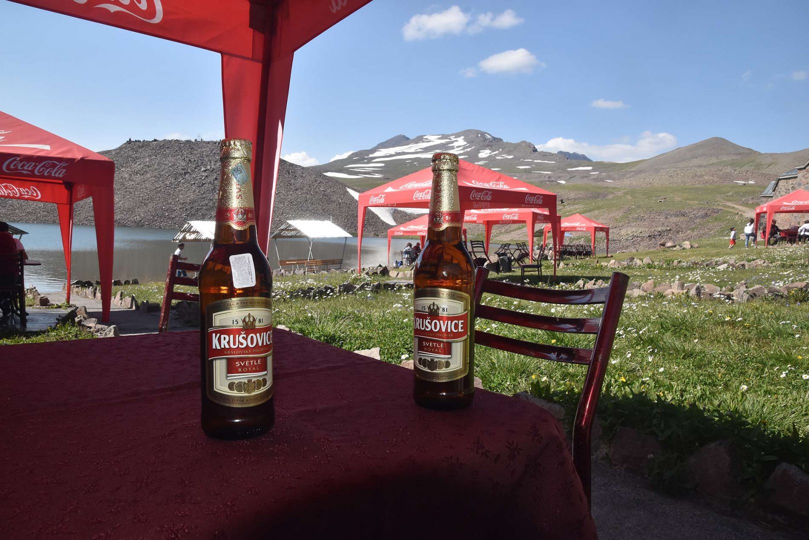
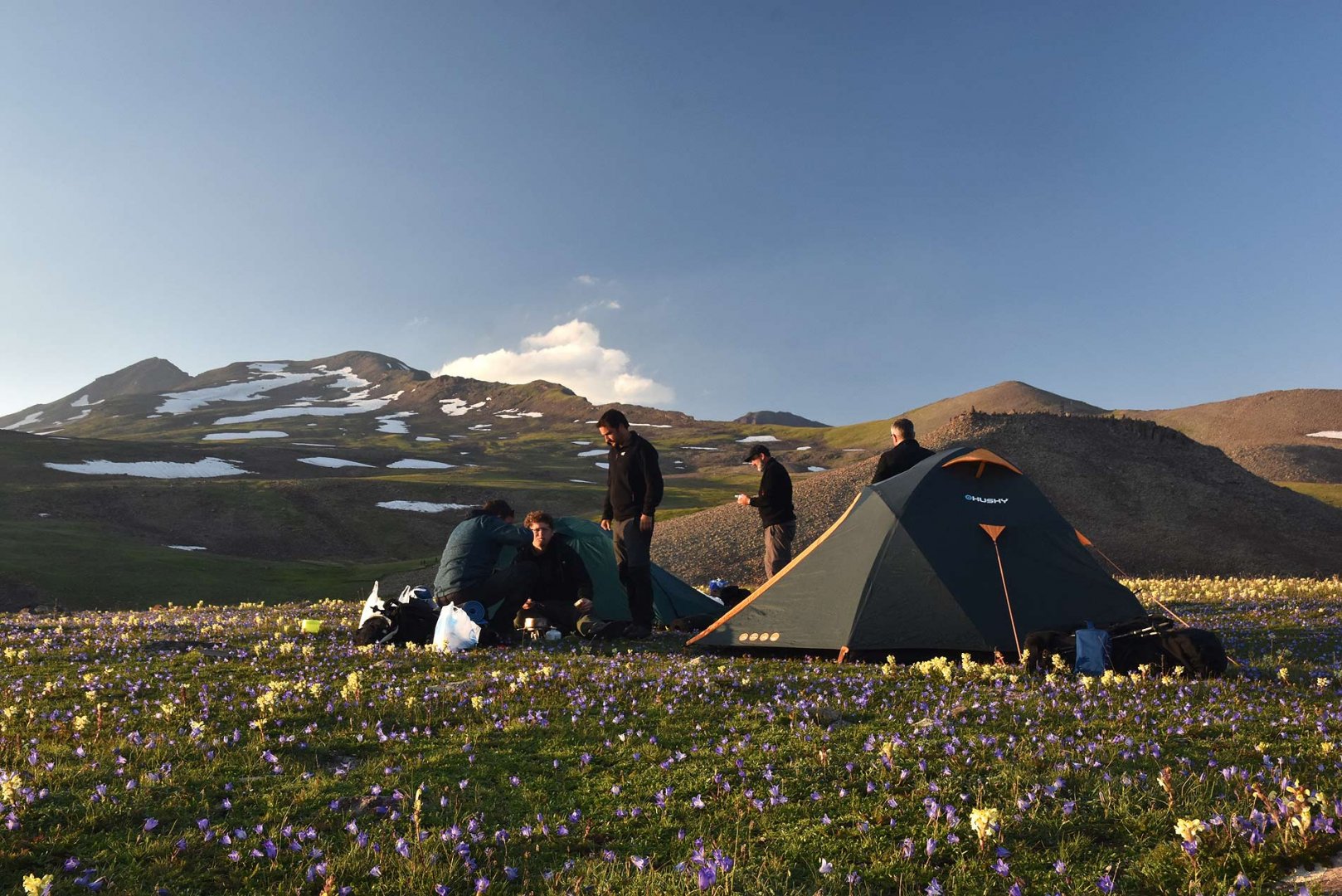
We took a taxi to Kari lake from Sevan lake. In the evening we went to a pub (unfortunately they didn't have local beer, only Krušovice) and spent the night on the other side of the lake. In the morning we left the lake without any hurry around 8 a
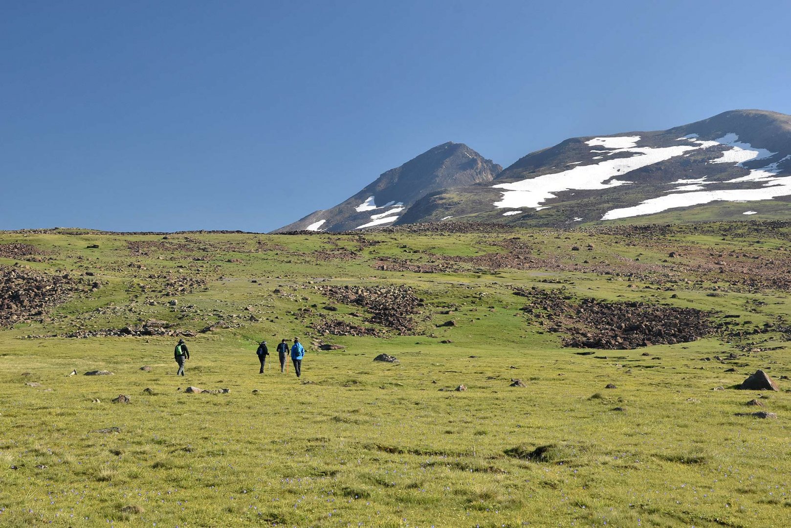
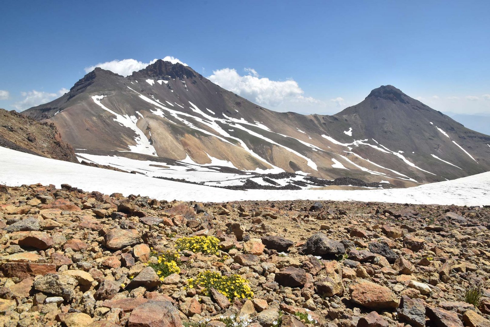
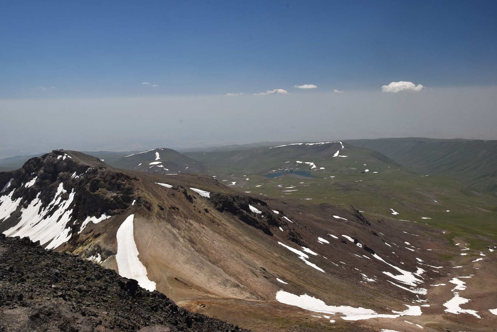
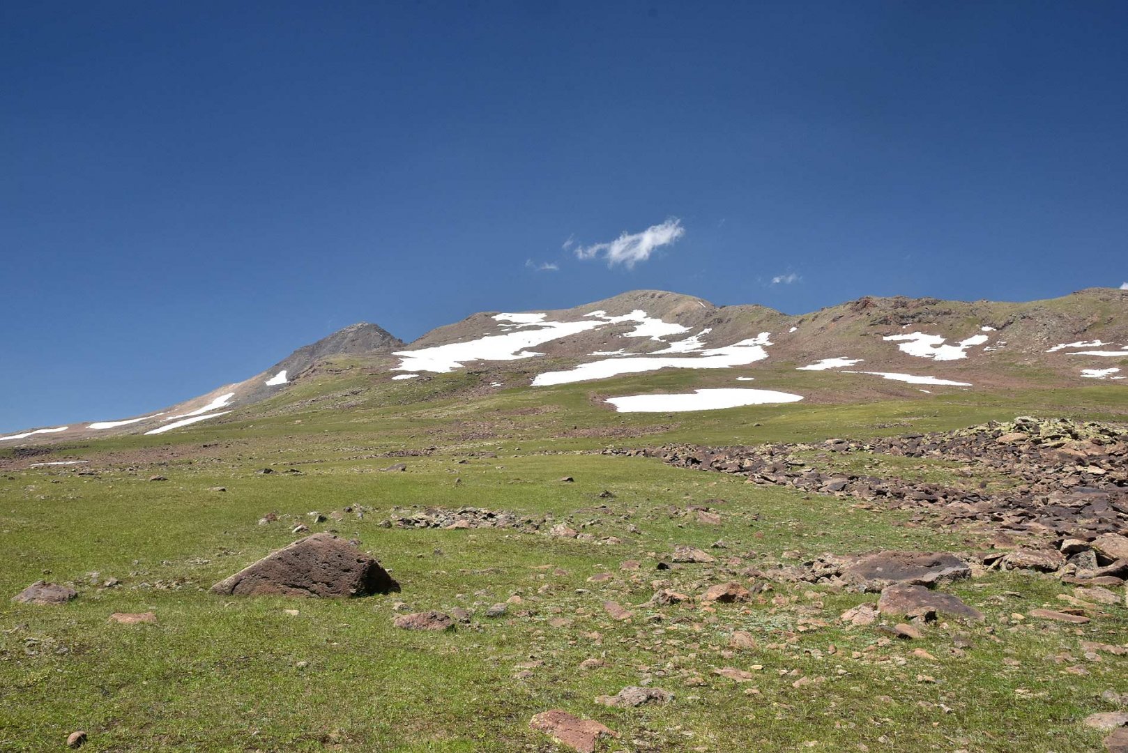
The beginning of the climb is a relaxed walk on wide plains strewn with rocks. Gradually the path began to gain height. However, we were well acclimatized from our previous stay in the Gegham Mountains and so the climb was not a problem for us. We decided to climb first to the lower southern peak at 3,789 m above sea level. The way to it is quite easy. The beaten track leads from Kari Lake.
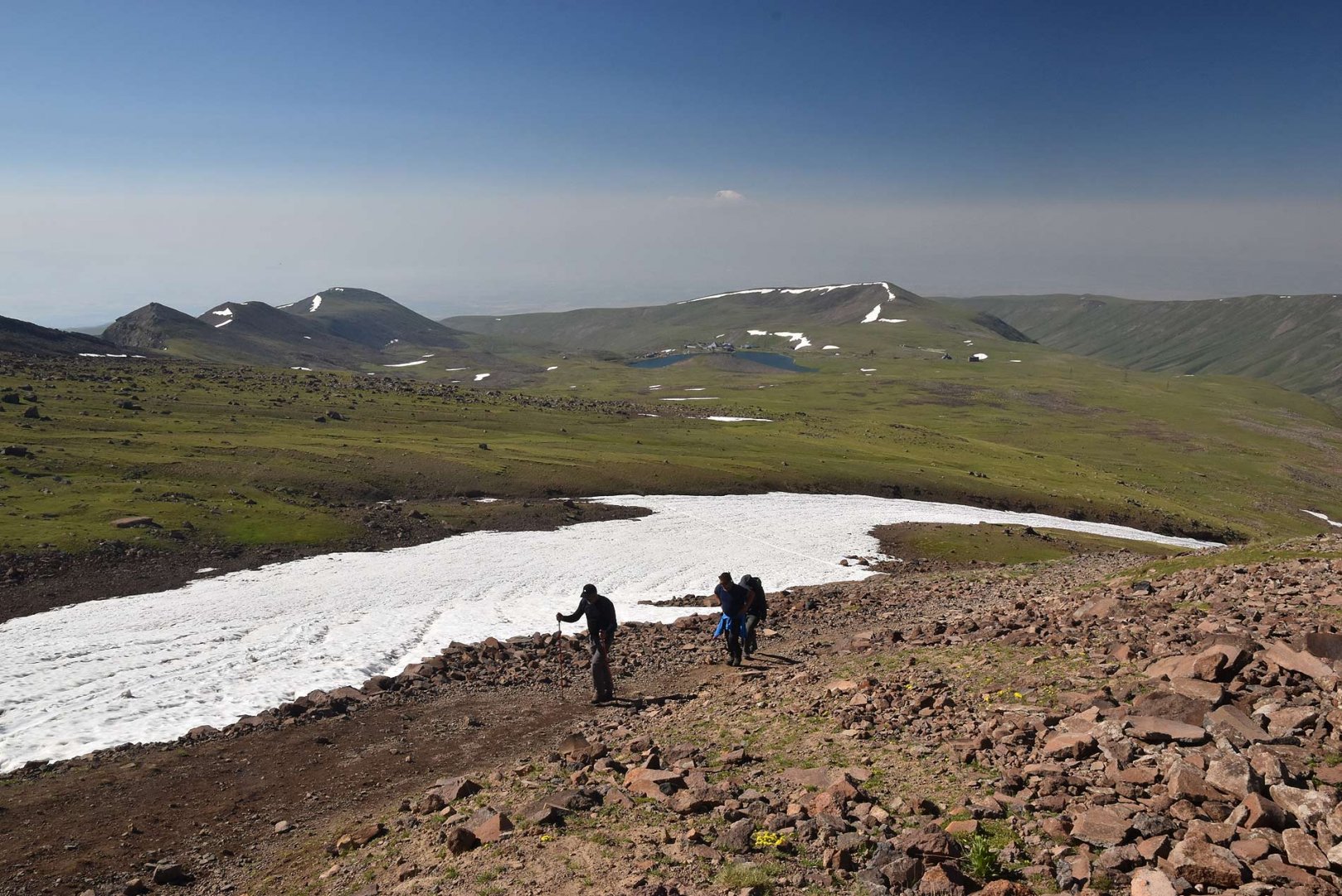
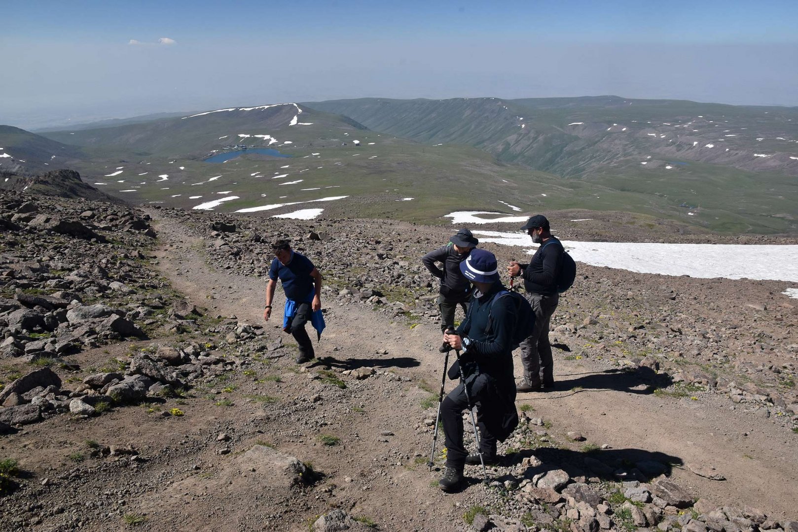
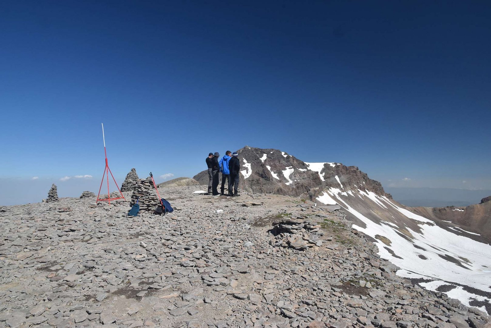
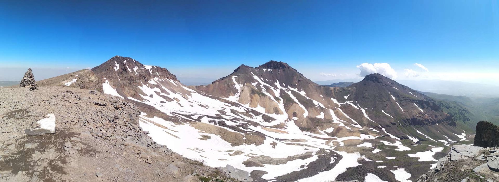
We soon joined it and gradually climbed upwards through the serpentines. After a while the landscape changed and the meadows were replaced by rocks. However, the trail is well trodden even in the highest parts and we soon reached the lowest of the four peaks of the Agarats volcano. The views are of course great even from this broad peak.
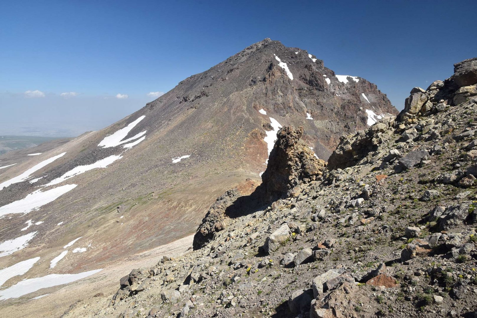
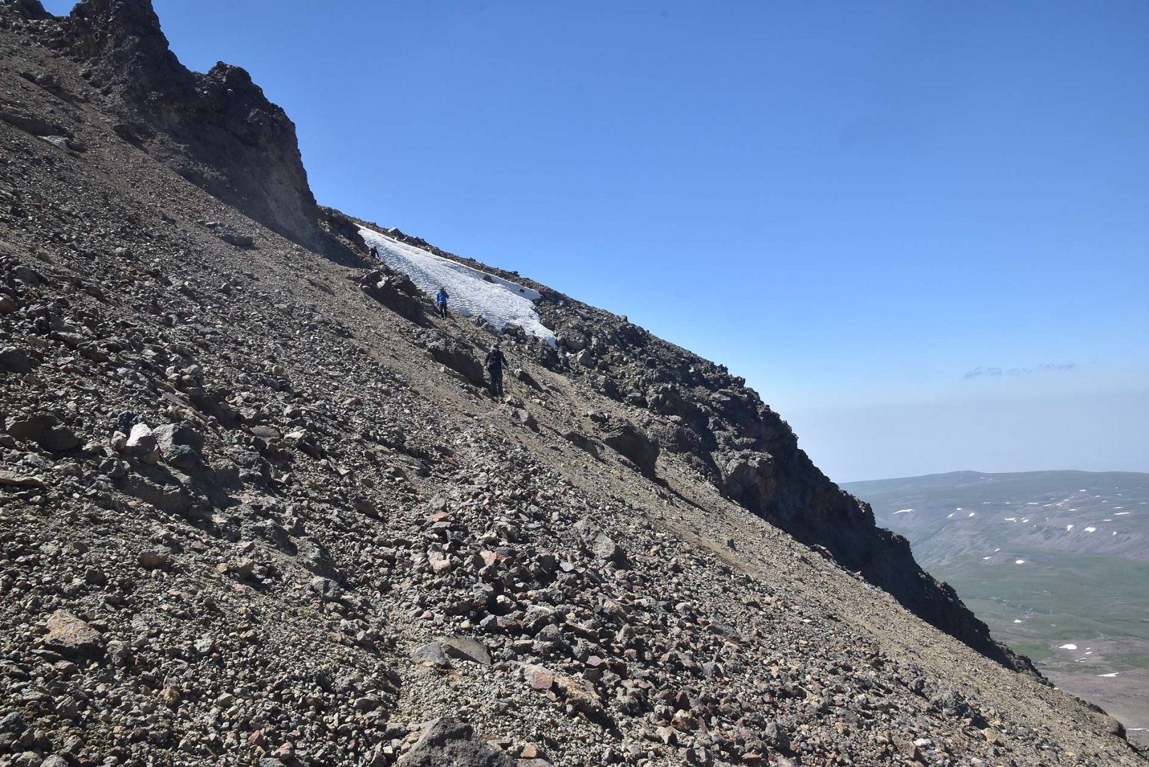
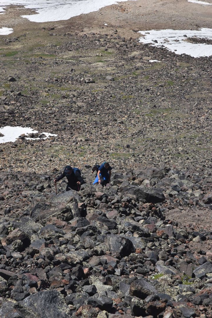
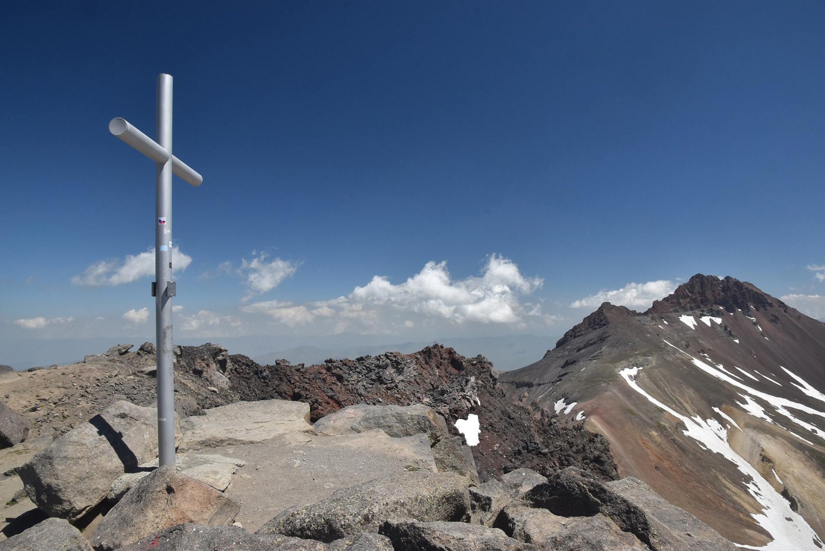
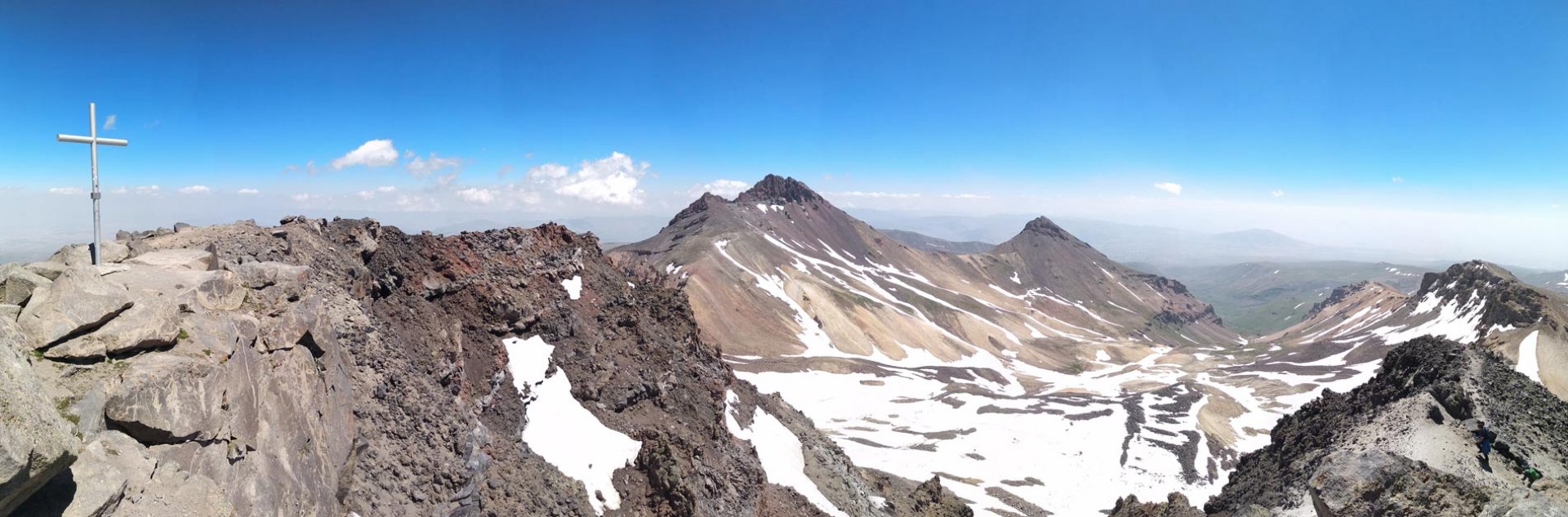
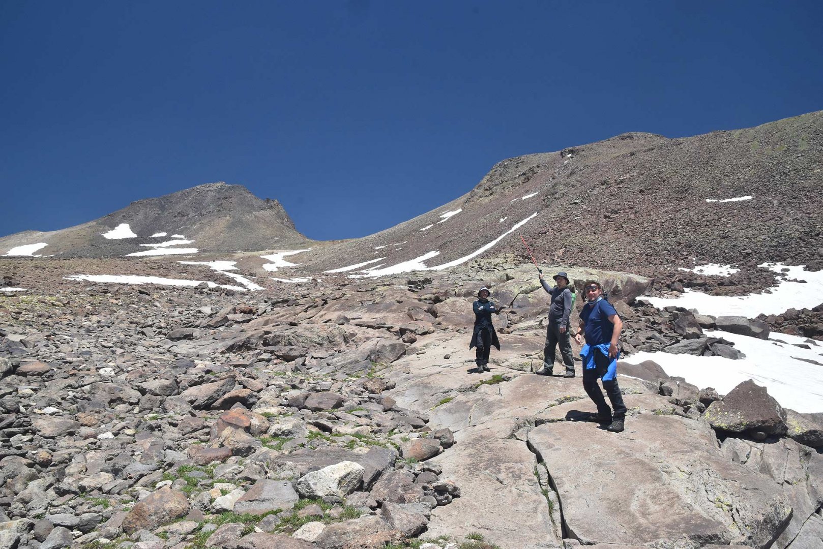
After a short rest we went to the western summit of the volcano. First we had to descend through an unpleasant debris field to the saddle between the peaks. From the saddle we started a true alpine ascent. The way to the west summit is significantly harder than the way to the south summit. There are some trodden paths, but they are more suitable for descent. There are small rocks on them that are still slippery. That's why most of the climb was on large boulders that hold firm. Very often our hands were in permanence. But in the end the climb was not as bad as it seemed from the saddle. After climbing the last big boulders we stood on the second highest peak of the Aragats volcano 4,001 m above sea level. The views were great, but the most attention was again drawn to Ararat, which was smiling at us from a height even more than a kilometer higher.
After a rest at the top and a light energy replenishment in the form of a snack, we headed back. We descended to the saddle by roughly the same route as we had taken to the summit. From the saddle, however, we continued our descent and soon found ourselves on the plains. Here we often crossed rocks that were scattered all around. Afterwards, we walked back to our tents through the meadows without any problems. As it was early afternoon, we immediately went to the pub on the other side of the lake and celebrated the climb there.
Difficulty
The ascent to the southern and western summit of Mount Aragats is very different. However, both are already at high altitude and good acclimatization is necessary. There is a beaten and groomed trail to the south summit. It is therefore a classic walker and the climb is technically very easy. The western summit has to be climbed on more difficult terrain. On large rocks and in rubble. There is no properly trodden path. The hands are in permanence during the whole ascent from the saddle between the peaks. It's definitely not beginner terrain.
Water availability
We got water at a pub near Lake Kari. On the way we met water from melting snow, which probably should be filtered. Especially on the way back there were more streams. All in all we had about 2 litres of water per person.
Sleeping options
There is also a hotel at Lake Kari where you can stay. We slept in a tent on the other side of the lake together with more trekkers - there is no charge for the tent, I guess they reckon you will have something to eat in the restaurant at the hotel anyway. There were about 20 tents in total (July 2019).
Mountain peaks
South 3,879 m and west 4,001 m are the fourth and second highest peaks of Aragats volcano. The views from them are great. You can also see the ubiquitous Ararat, which is already in Turkey.
Danger
Technically, the ascent to the south summit is very easy. A beaten path leads here. It's worse on the western peak. First you have to descend through unpleasant terrain (scree) to the saddle. From the saddle you then go mostly on large stones. These are good because they do not move. Unfortunately, there are also a lot of stones that slip underfoot. The ascent is also steep, we still used our hands. On the way back to the lake, herding dogs in the meadows can again make the path unpleasant.
Food
We only needed a few energy bars and some bread with cheese and salami. After arriving back to the lake we ate at a pub by the lake.
Attractions
Photos